






















Skip to content
Destinations
Weather & climate
Nature
Outdoors
Culture
Events
Sky & live
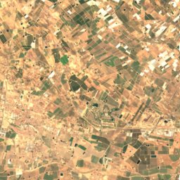
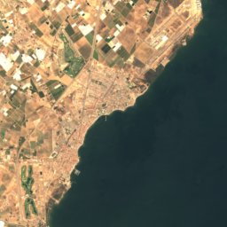
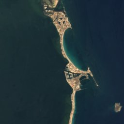
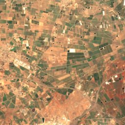
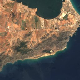
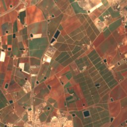
Satellite: Sentinel-2 cloudless 2016 by EOX IT Services GmbH · CC BY 4.0 · Contains modified Copernicus Sentinel data 2016
Calblanque
Photo: I HQ · CC BY-SA 2.0 · Wikimedia Commons
CalblanqueReport this photo · linked, not stored
Calblanque
Cabezo de la Fuente
Photo: Ryan Hodnett · CC BY-SA 4.0 · Wikimedia Commons
Cabezo de la FuenteReport this photo · linked, not stored
Cabezo de la Fuente
Cabezo de San Ginés
Photo: Nanosanchez · CC BY-SA 3.0 · Wikimedia Commons
Cabezo de San GinésReport this photo · linked, not stored
Cabezo de San Ginés
El Carmolí
Photo: Nanosanchez · CC0 · Wikimedia Commons
El CarmolíReport this photo · linked, not stored
El Carmolí
BeachLos Belones, Murcia

Larga

BeachBest May–Jul
Elevation–above sea level
Water qualityExcellentEU · 2025
Nearest townLos Belones3.4 km
37.60° N, 0.75° WUTC+1 · Central European Standard Time
When to goLos Belones · weather score
JanFebMarAprMayJunJulAugSepOctNovDec83October
Best timeMay–Jul
October: high / low24° / 18°
Beach

Larga in brief

Larga is a beach in Los Belones, Murcia, Spain.

The nearest town is Los Belones, 3.4 km to the NW, where the weather is best in May, June and July.

Bathing water quality (EU, 2025): excellent.

The sea is warmest in August, at about 26°C.

Los Belones: weather and travel guide

Weather nearby now

Forecast for Los Belones
23°
Cloudy now
Wind15 km/h
Humidity76%
Cloud cover80%
Today
27 Oct
25°
20°
Wed
28 Oct
25°
20°
1 mm
Thu
29 Oct
24°
19°
2 mm
Fri
30 Oct
24°
17°
Sat
31 Oct
24°
18°
7 mm

Model run 12:00 UTCRefreshed several times a day

Sea and air through the year

Sea surface temperature off the coast and the average daily high in Los Belones, month by month.
Jan15°16°
Feb14°16°
Mar15°17°
Apr16°19°
May18°22°
Jun22°25°
Jul24°28°
Aug26°29°
Sep25°26°
Oct22°24°
Nov19°20°
Dec16°17°
seaair, daily high
When to go

The best months around Larga

Climate of Los Belones

Month score in Los Belones

Comfort, dry days and sunshine · out of 100
77
Jan
79
Feb
84
Mar
86
Apr
91
May
95
Jun
87
Jul
78
Aug
80
Sep
83
Oct
82
Nov
82
Dec
Map

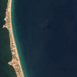
Larga from above

Nature nearbyAll of Spain
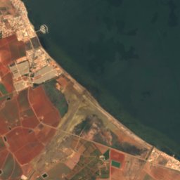
Satellite: Sentinel-2 cloudless 2016 by EOX IT Services GmbH · CC BY 4.0 · Contains modified Copernicus Sentinel data 2016
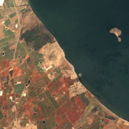
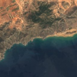
Playa Punta SecaBeach0.4 kmNEPlaya Punta Seca
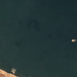
Satellite: Sentinel-2 cloudless 2016 by EOX IT Services GmbH · CC BY 4.0 · Contains modified Copernicus Sentinel data 2016
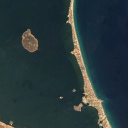
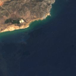
Las CañasBeach0.5 kmELas Cañas
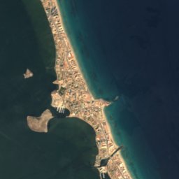
Satellite: Sentinel-2 cloudless 2016 by EOX IT Services GmbH · CC BY 4.0 · Contains modified Copernicus Sentinel data 2016
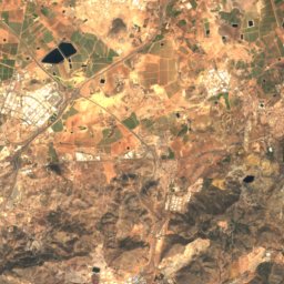
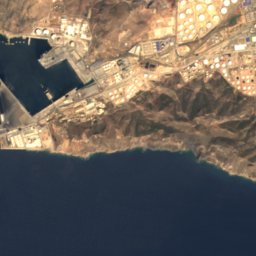
NegreteBeach0.6 kmWNegrete
Satellite: Sentinel-2 cloudless 2016 by EOX IT Services GmbH · CC BY 4.0 · Contains modified Copernicus Sentinel data 2016
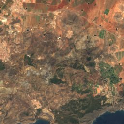
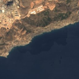
Playa NegreteBeach1.1 kmWPlaya Negrete
Photo: I HQ · CC BY-SA 2.0 · Wikimedia CommonsReport this photo · linked, not stored
CalblanqueBeach2.2 kmECalblanque
Satellite: Sentinel-2 cloudless 2016 by EOX IT Services GmbH · CC BY 4.0 · Contains modified Copernicus Sentinel data 2016
Cala ArturoBeach2.5 kmECala Arturo
Summits nearbyMountains of Spain
Photo: Ryan Hodnett · CC BY-SA 4.0 · Wikimedia CommonsReport this photo · linked, not stored
Cabezo de la Fuente1.6 km NW342 mJuly 27°Cabezo de la Fuente
Photo: Nanosanchez · CC BY-SA 3.0 · Wikimedia CommonsReport this photo · linked, not stored
Cabezo de San Ginés7.6 km NW229 mJuly 28°Cabezo de San Ginés
Photo: Nanosanchez · CC0 · Wikimedia CommonsReport this photo · linked, not stored
El Carmolí13 km NW2 mJuly 29°El Carmolí
Stay nearby

Towns close by
Los Belones
Photo: Maciej Lewandowski · CC BY-SA 2.0 · Wikimedia CommonsReport this photo · linked, not stored

Los Belones

Murcia · 3.4 km NW
24°Oct high
7wet days
83score
Los Belones
Satellite: Sentinel-2 cloudless 2016 by EOX IT Services GmbH · CC BY 4.0 · Contains modified Copernicus Sentinel data 2016

Playa Honda

Murcia · 4.0 km NE
24°Oct high
7wet days
83score
Playa Honda
Atamaría
Photo: Diego Delso · CC BY-SA 4.0 · Wikimedia CommonsReport this photo · linked, not stored

Atamaría

Murcia · 4.7 km W
23°Oct high
7wet days
83score
Atamaría
La Manga del Mar Menor
Photo: Nanosanchez · Public domain · Wikimedia CommonsReport this photo · linked, not stored

La Manga del Mar Menor

Murcia · 5.9 km NE
24°Oct high
7wet days
83score
La Manga del Mar Menor
Around here

Los Belones and around

Los Belones
Photo: Maciej Lewandowski · CC BY-SA 2.0 · Wikimedia CommonsReport this photo · linked, not stored

Los Belones

Murcia · Spain
May–Julbest months
28°July high
35 maltitude
Los Belones

Nature

Satellite: Sentinel-2 cloudless 2016 by EOX IT Services GmbH · CC BY 4.0 · Contains modified Copernicus Sentinel data 2016
4.0 km W

Cueva Victoria

Cave
Cueva Victoria
Sima de las Palomas
Photo: Elena Ortuño · CC BY-SA 4.0 · Wikimedia CommonsReport this photo · linked, not stored
22 km NW

Sima de las Palomas

Cave
Sima de las Palomas
Satellite: Sentinel-2 cloudless 2016 by EOX IT Services GmbH · CC BY 4.0 · Contains modified Copernicus Sentinel data 2016
18 km W

Cueva de los Aguilones

Cave
Cueva de los Aguilones

Mountains

Cabezo de la Fuente
Photo: Ryan Hodnett · CC BY-SA 4.0 · Wikimedia CommonsReport this photo · linked, not stored
1.8 km SE

Cabezo de la Fuente

342 m
Cabezo de la Fuente
Cabezo de San Ginés
Photo: Nanosanchez · CC BY-SA 3.0 · Wikimedia CommonsReport this photo · linked, not stored
4.5 km W

Cabezo de San Ginés

229 m
Cabezo de San Ginés
El Carmolí
Photo: Nanosanchez · CC0 · Wikimedia CommonsReport this photo · linked, not stored
9.7 km NW

El Carmolí

2 m
El Carmolí

Heritage

Apolo Theatre, El Algar
Photo: Docudos · CC BY-SA 3.0 · Wikimedia CommonsReport this photo · linked, not stored
8.3 km W

Apolo Theatre, El Algar

bien de interés cultural · 1905
Apolo Theatre, El Algar
Monastery of San Ginés de la Jara
Photo: Pablo Camps · CC BY-SA 3.0 · Wikimedia CommonsReport this photo · linked, not stored
4.5 km NW

Monastery of San Ginés de la Jara

bien de interés cultural · 1300
Monastery of San Ginés de la Jara
Cenizas Battery
Photo: Diego Delso · CC BY-SA 4.0 · Wikimedia CommonsReport this photo · linked, not stored
6.1 km SW

Cenizas Battery

Red List of Endangered Heritage item · 1934
Cenizas Battery

Museums

Zamar Carriage Museum
Photo: P4K1T0 · CC0 · Wikimedia CommonsReport this photo · linked, not stored
8.7 km W

Zamar Carriage Museum

2004
Zamar Carriage Museum
Experiencia 43
Photo: P4K1T0 · CC0 · Wikimedia CommonsReport this photo · linked, not stored
13 km W

Experiencia 43

2012
Experiencia 43
Museo Fundación Boyer Tresaco
Photo: P4K1T0 · CC BY-SA 4.0 · Wikimedia CommonsReport this photo · linked, not stored
6.1 km E

Museo Fundación Boyer Tresaco

Museo Fundación Boyer Tresaco