







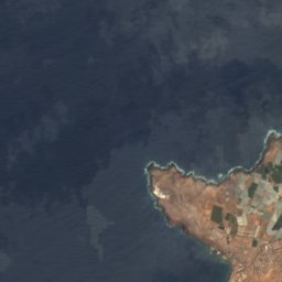
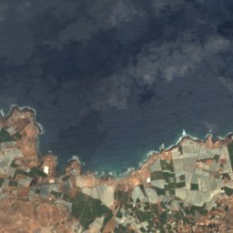
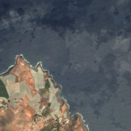
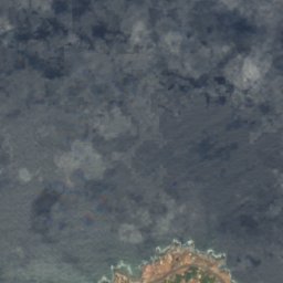



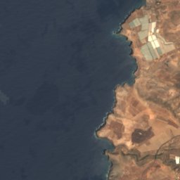
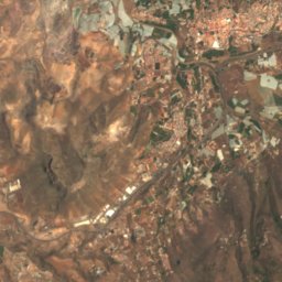
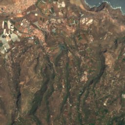
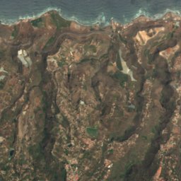
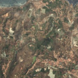




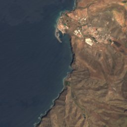
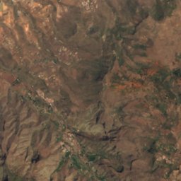
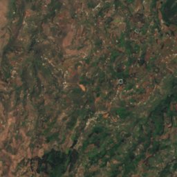
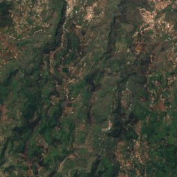
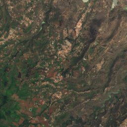



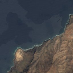
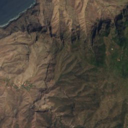
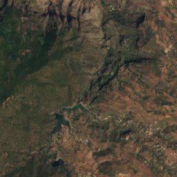
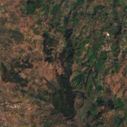
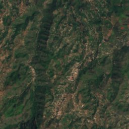
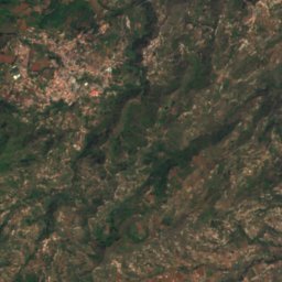
Satellite: Sentinel-2 cloudless 2016 by EOX IT Services GmbH · CC BY 4.0 · Contains modified Copernicus Sentinel data 2016

Photo: Olo72 · CC BY-SA 4.0 · Wikimedia Commons
Morro de la AgujereadaReport this photo · linked, not stored
Morro de la AgujereadaMorro de la AgujereadaReport this photo · linked, not stored

Photo: atu60 · CC BY-SA 3.0 · Wikimedia Commons
Pico de las NievesReport this photo · linked, not stored
Pico de las NievesPico de las NievesReport this photo · linked, not stored

Photo: Basotxerri · CC BY-SA 4.0 · Wikimedia Commons
Roque NubloReport this photo · linked, not stored
Roque NubloRoque NubloReport this photo · linked, not stored
BeachAgaete, Canary Islands
Juncal
BeachBest May–Jul
Elevation–above sea level
Sea, warmest24°CSeptember
Nearest townAgaete1.9 km
28.12° N, 15.70° WUTC+0 · Western European Standard Time
When to goAgaete · weather score
Best timeMay–Jul
October: high / low26° / 20°
Beach
Juncal in brief
Juncal is a beach in Agaete, Canary Islands, Spain.
The nearest town is Agaete, 1.9 km to the S, where the weather is best in May, June and July.
The sea is warmest in September, at about 24°C.
Weather nearby now
Forecast for Agaete26°
Cloudy now
Today
27 Oct
29°
22°
Wed
28 Oct
28°
22°
Thu
29 Oct
27°
21°
Fri
30 Oct
27°
19°
Sat
31 Oct
25°
20°
Model run 00:00 UTCRefreshed several times a day
Sea and air through the year
Sea surface temperature off the coast and the average daily high in Agaete, month by month.Jan20°21°
Feb19°21°
Mar19°21°
Apr19°22°
May20°23°
Jun21°25°
Jul22°26°
Aug23°28°
Sep24°27°
Oct23°26°
Nov22°24°
Dec21°22°
seaair, daily high
When to go
Climate of AgaeteThe best months around Juncal
Month score in Agaete
Comfort, dry days and sunshine · out of 10088
Jan
84
Feb
90
Mar
93
Apr
97
May
99
Jun
94
Jul
88
Aug
86
Sep
84
Oct
84
Nov
85
Dec
Map
Juncal from above
Nature nearbyAll of Spain
Satellite: Sentinel-2 cloudless 2016 by EOX IT Services GmbH · CC BY 4.0 · Contains modified Copernicus Sentinel data 2016
Satellite: Sentinel-2 cloudless 2016 by EOX IT Services GmbH · CC BY 4.0 · Contains modified Copernicus Sentinel data 2016
Satellite: Sentinel-2 cloudless 2016 by EOX IT Services GmbH · CC BY 4.0 · Contains modified Copernicus Sentinel data 2016
Satellite: Sentinel-2 cloudless 2016 by EOX IT Services GmbH · CC BY 4.0 · Contains modified Copernicus Sentinel data 2016
Satellite: Sentinel-2 cloudless 2016 by EOX IT Services GmbH · CC BY 4.0 · Contains modified Copernicus Sentinel data 2016
Satellite: Sentinel-2 cloudless 2016 by EOX IT Services GmbH · CC BY 4.0 · Contains modified Copernicus Sentinel data 2016
Summits nearbyMountains of Spain


Stay nearby
Towns close by

Photo: Victor R. Ruiz from Arinaga, Canary Islands, Spain · CC BY-SA 2.0 · Wikimedia CommonsReport this photo · linked, not stored
Agaete
Canary Islands · 1.9 km S
26°Oct high
5wet days
84score


Photo: Bengt Nyman from Vaxholm, Sweden · CC BY 2.0 · Wikimedia CommonsReport this photo · linked, not stored
Gáldar
Canary Islands · 6.3 km NE
26°Oct high
5wet days
86score

Photo: Miguel Diaz Ojeda · CC BY-SA 3.0 es · Wikimedia CommonsReport this photo · linked, not stored
Guia
Canary Islands · 7.5 km E
25°Oct high
5wet days
88score
Around here
Agaete and around
Photo: Victor R. Ruiz from Arinaga, Canary Islands, Spain · CC BY-SA 2.0 · Wikimedia CommonsReport this photo · linked, not stored
Agaete
Canary Islands · Spain
May–Julbest months
26°July high
55 maltitude
Nature
Photo: Miguel Diaz Ojeda · CC BY-SA 3.0 es · Wikimedia CommonsReport this photo · linked, not stored
Caves of Valeron
Cave


Photo: Photograph by Mike Peel (www.mikepeel.net). · CC BY-SA 4.0 · Wikimedia CommonsReport this photo · linked, not stored
Caves of the Crosses
Cave
Mountains
Heritage

Photo: Iglesia_de_la_Concepción_Agaete_2010.jpg: Felix König Church_Agaete.JPG: Felix K · CC BY-SA 3.0 · Wikimedia CommonsReport this photo · linked, not stored
Iglesia de la Concepción, Agaete
bien de interés cultural


Satellite: Sentinel-2 cloudless 2016 by EOX IT Services GmbH · CC BY 4.0 · Contains modified Copernicus Sentinel data 2016
El Maipés Necropolis
bien de interés cultural






Satellite: Sentinel-2 cloudless 2016 by EOX IT Services GmbH · CC BY 4.0 · Contains modified Copernicus Sentinel data 2016
Hermitage of Nuestra Señora de las Nieves
bien de interés cultural
Museums

Satellite: Sentinel-2 cloudless 2016 by EOX IT Services GmbH · CC BY 4.0 · Contains modified Copernicus Sentinel data 2016
Painted Cave, Galdar
Archaeological museum


