

Photo: Juanje 2712 · CC BY-SA 4.0 · Wikimedia Commons
La Grajera ReservoirReport this photo · linked, not stored
La Grajera ReservoirLa Grajera ReservoirReport this photo · linked, not stored

Photo: Luis Javier Modino Martinez · CC BY 2.0 · Wikimedia Commons
Leza RiverReport this photo · linked, not stored
Leza RiverLeza RiverReport this photo · linked, not stored
 Linares River
 Odrón
RiverVarea, La Rioja
Iregua
RiverBest May · Sep–Oct
Elevation–above sea level
Length64 kmsource to mouth
Nearest townVarea0.5 km
42.47° N, 2.41° WUTC+2 · Central European Summer Time
When to goVarea · weather score
Best timeMay · Sep–Oct
October: high / low20° / 10°
River
Iregua in brief
Iregua is a river in Varea, La Rioja, Spain.
The nearest town in the atlas is Varea, 0.5 km to the SE, where the weather is best in May, September and October.
Iregua is 64 km long.
Weather nearby now
Forecast for Varea17°
Cloudy now
Today
22 Oct
17°
6°
Fri
23 Oct
18°
10°
1 mm
Sat
24 Oct
19°
6°
Sun
25 Oct
23°
9°
Mon
26 Oct
23°
9°
Model run 00:00 UTCRefreshed several times a day
The course of the river
As mapped in OpenStreetMap, with the towns of the atlas along its banks.- 1Villoslada de Cameros1,077 m
- 2Pradillo890 m
- 3Gallinero de Cameros1,062 m
- 4Almarza de Cameros1,072 m
- 5Nieva de Cameros1,006 m
- 6Torrecilla en Cameros747 m
- 7Viguera706 m
- 8Sorzano715 m
- 9Nalda633 m
- 10Albelda de Iregua545 m
- 11Alberite447 m
- 12Lardero438 m
- 13Villamediana de Iregua445 m
- 14Varea383 m
sourcemouth (or where the mapped line leaves the country)
When to go
Climate of VareaThe best months around Iregua
Month score in Varea
Comfort, dry days and sunshine · out of 10023
Jan
37
Feb
59
Mar
67
Apr
70
May
70
Jun
63
Jul
62
Aug
79
Sep
74
Oct
43
Nov
29
Dec
Map
Iregua from above
Nature nearbyAll of Spain
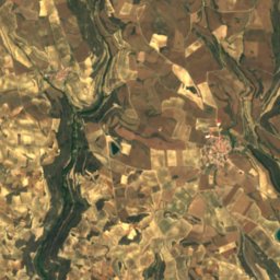
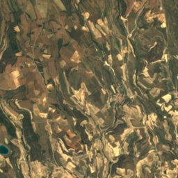
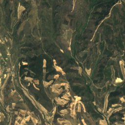
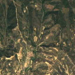
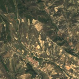
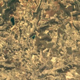
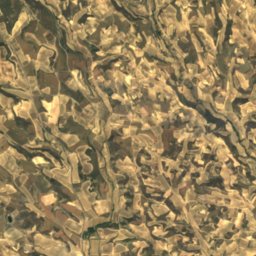
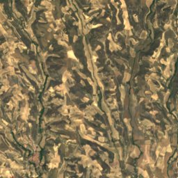
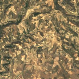
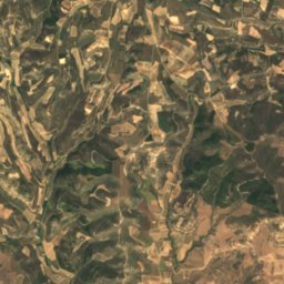
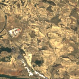
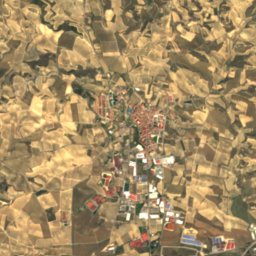
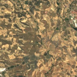
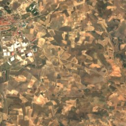
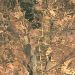
Satellite: Sentinel-2 cloudless 2016 by EOX IT Services GmbH · CC BY 4.0 · Contains modified Copernicus Sentinel data 2016


Photo: Luis Javier Modino Martinez · CC BY 2.0 · Wikimedia CommonsReport this photo · linked, not stored
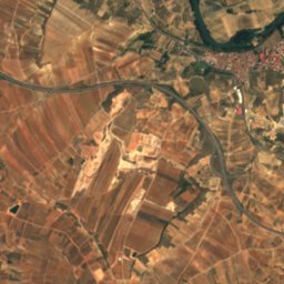
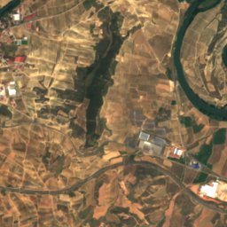
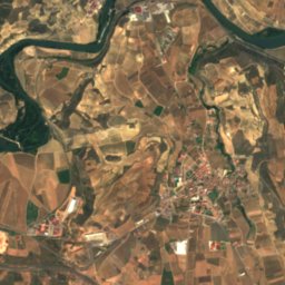
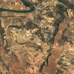
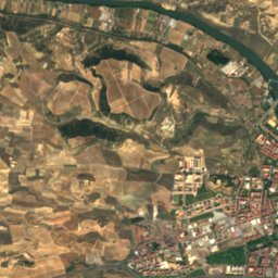
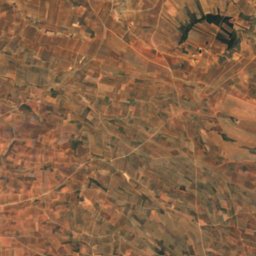
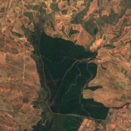
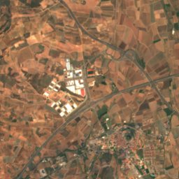
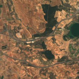
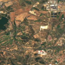
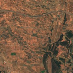
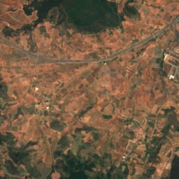
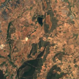
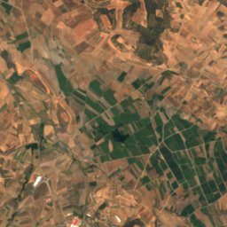
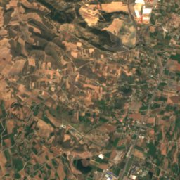
Satellite: Sentinel-2 cloudless 2016 by EOX IT Services GmbH · CC BY 4.0 · Contains modified Copernicus Sentinel data 2016

Summits nearbyMountains of Spain
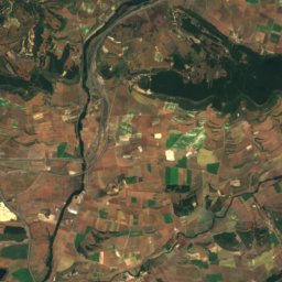
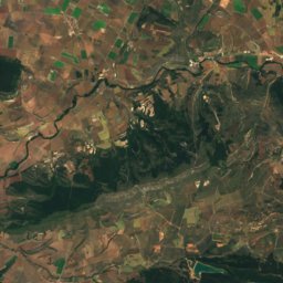
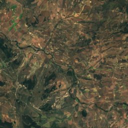
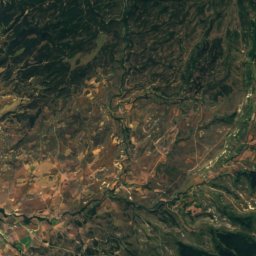
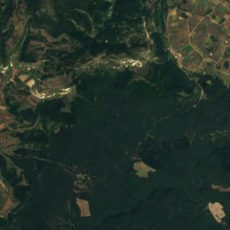
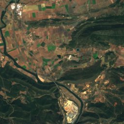
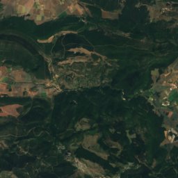
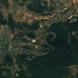
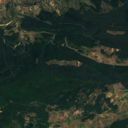
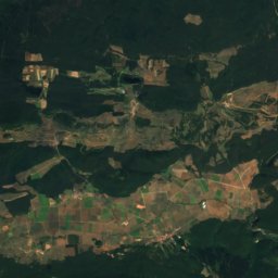
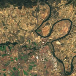
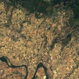
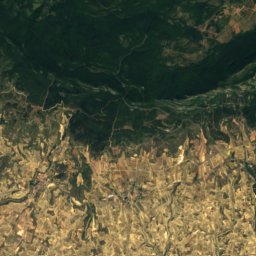
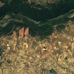
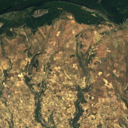
Satellite: Sentinel-2 cloudless 2016 by EOX IT Services GmbH · CC BY 4.0 · Contains modified Copernicus Sentinel data 2016

Satellite: Sentinel-2 cloudless 2016 by EOX IT Services GmbH · CC BY 4.0 · Contains modified Copernicus Sentinel data 2016


Photo: Asier Sarasua Garmendia, Assar · CC BY-SA 3.0 · Wikimedia CommonsReport this photo · linked, not stored
Stay nearby
Towns close by


Photo: Adam Jones from Kelowna, BC, Canada · CC BY-SA 2.0 · Wikimedia CommonsReport this photo · linked, not stored
Logroño
La Rioja · 3.3 km W
20°Oct high
10wet days
74score
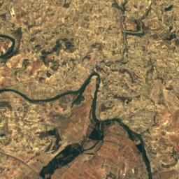
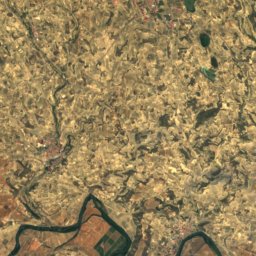
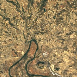
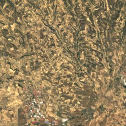
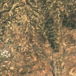
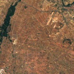
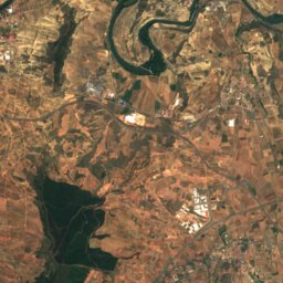
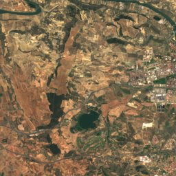
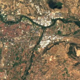
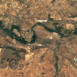
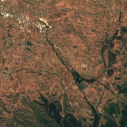
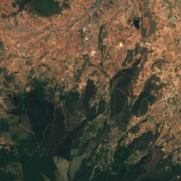
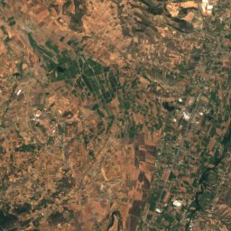
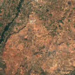
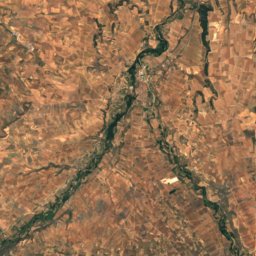
Satellite: Sentinel-2 cloudless 2016 by EOX IT Services GmbH · CC BY 4.0 · Contains modified Copernicus Sentinel data 2016
Villamediana de Iregua
La Rioja · 4.4 km S
20°Oct high
10wet days
74score
Around here
Varea and around
Nature
Photo: Luis Javier Modino Martinez · CC BY 2.0 · Wikimedia CommonsReport this photo · linked, not stored
Leza River
River
Satellite: Sentinel-2 cloudless 2016 by EOX IT Services GmbH · CC BY 4.0 · Contains modified Copernicus Sentinel data 2016
Valdevarón
River
Mountains
Satellite: Sentinel-2 cloudless 2016 by EOX IT Services GmbH · CC BY 4.0 · Contains modified Copernicus Sentinel data 2016
Palomares
1,446 m · Toloño / Cantabria mountain range

Satellite: Sentinel-2 cloudless 2016 by EOX IT Services GmbH · CC BY 4.0 · Contains modified Copernicus Sentinel data 2016
Cervera (mountain)
1,384 m · Toloño / Cantabria mountain range
Heritage

Church of San Bartolomé, Logroño
bien de interés cultural · 1150

Conjunto histórico del Palacio de la Diputación y El Gran Hotel
bien de interés cultural
Satellite: Sentinel-2 cloudless 2016 by EOX IT Services GmbH · CC BY 4.0 · Contains modified Copernicus Sentinel data 2016
Ciudad de Cantabria
bien de interés cultural


