
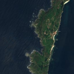

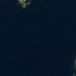
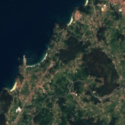
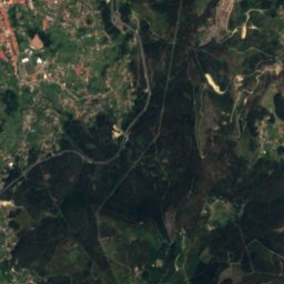

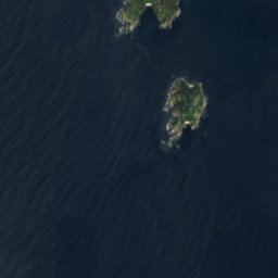

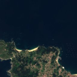
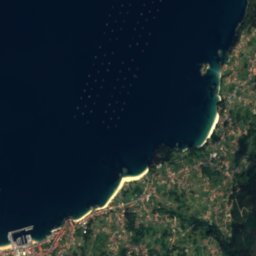
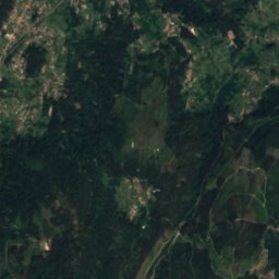
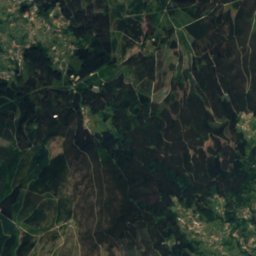



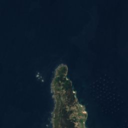
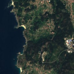
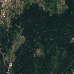
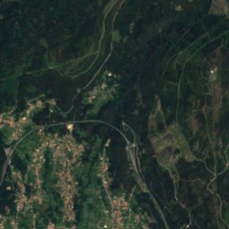
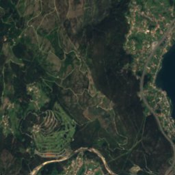


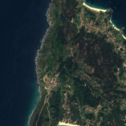
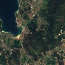

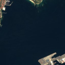
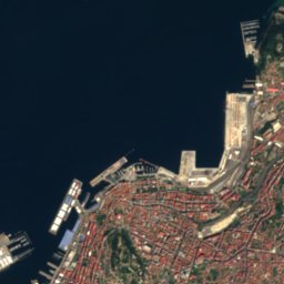
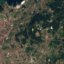



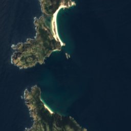

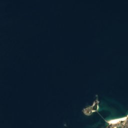
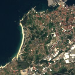
Satellite: Sentinel-2 cloudless 2016 by EOX IT Services GmbH · CC BY 4.0 · Contains modified Copernicus Sentinel data 2016

Photo: Txo (discusión) Mi discusión en castellano 20:43, 22 August 2007 (UTC) · Public domain · Wikimedia Commons
Monte Faro de DomaioReport this photo · linked, not stored
Monte Faro de DomaioMonte Faro de DomaioReport this photo · linked, not stored

Photo: Tommyhilfiger · CC BY-SA 3.0 · Wikimedia Commons
A PenedaReport this photo · linked, not stored
A PenedaA PenedaReport this photo · linked, not stored

Photo: Triplecaña · CC BY-SA 4.0 · Wikimedia Commons
Monte SiradellaReport this photo · linked, not stored
Monte SiradellaMonte SiradellaReport this photo · linked, not stored
BeachCangas de Morrazo, Galicia
Francón
BeachBest Jun–Aug
Elevation–above sea level
Water qualityExcellentEU · 2025
Nearest townCangas de Morrazo4.1 km
42.29° N, 8.82° WUTC+1 · Central European Standard Time
When to goCangas de Morrazo · weather score
Best timeJun–Aug
October: high / low21° / 13°
Beach
Francón in brief
Francón is a beach in Cangas de Morrazo, Galicia, Spain.
The nearest town is Cangas de Morrazo, 4.1 km to the SE, where the weather is best in June, July and August.
Bathing water quality (EU, 2025): excellent.
The sea is warmest in August, at about 17°C.
Weather nearby now
Forecast for Cangas de Morrazo17°
Rain now
Today
27 Oct
18°
14°
10 mm
Wed
28 Oct
20°
11°
Thu
29 Oct
21°
11°
Fri
30 Oct
24°
10°
Sat
31 Oct
23°
10°
Model run 00:00 UTCRefreshed several times a day
Sea and air through the year
Sea surface temperature off the coast and the average daily high in Cangas de Morrazo, month by month.Jan14°14°
Feb13°15°
Mar13°16°
Apr14°18°
May15°20°
Jun16°22°
Jul17°24°
Aug17°24°
Sep17°23°
Oct16°21°
Nov15°16°
Dec14°15°
seaair, daily high
Map
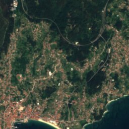
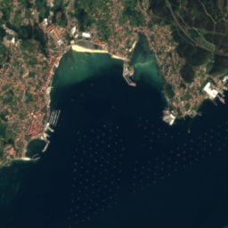
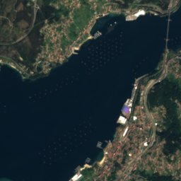
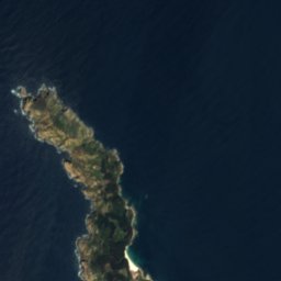
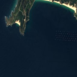
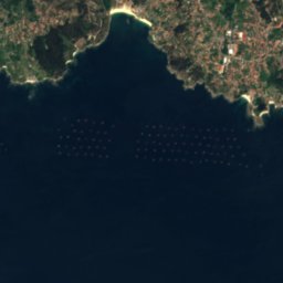
Francón from above
Nature nearbyAll of Spain
Satellite: Sentinel-2 cloudless 2016 by EOX IT Services GmbH · CC BY 4.0 · Contains modified Copernicus Sentinel data 2016
Satellite: Sentinel-2 cloudless 2016 by EOX IT Services GmbH · CC BY 4.0 · Contains modified Copernicus Sentinel data 2016
Satellite: Sentinel-2 cloudless 2016 by EOX IT Services GmbH · CC BY 4.0 · Contains modified Copernicus Sentinel data 2016
Satellite: Sentinel-2 cloudless 2016 by EOX IT Services GmbH · CC BY 4.0 · Contains modified Copernicus Sentinel data 2016
Satellite: Sentinel-2 cloudless 2016 by EOX IT Services GmbH · CC BY 4.0 · Contains modified Copernicus Sentinel data 2016
Satellite: Sentinel-2 cloudless 2016 by EOX IT Services GmbH · CC BY 4.0 · Contains modified Copernicus Sentinel data 2016
Summits nearbyMountains of Spain

Photo: Txo (discusión) Mi discusión en castellano 20:43, 22 August 2007 (UTC) · Public domain · Wikimedia CommonsReport this photo · linked, not stored


Stay nearby
Towns close by


Photo: juantiagues https://www.flickr.com/photos/juantiagues/ · CC BY-SA 2.0 · Wikimedia CommonsReport this photo · linked, not stored
Bueu
Galicia · 4.7 km NE
21°Oct high
14wet days
64score
Photo: Txo (discusión) Mi discusión en castellano 20:43, 22 August 2007 (UTC) · Public domain · Wikimedia CommonsReport this photo · linked, not stored
Moaña
Galicia · 6.8 km E
21°Oct high
14wet days
65score

Photo: derivative work: Kanchelskis (talk) Centro_e_porto_de_Vigo.jpg: User:Dantadd · CC BY-SA 2.5 · Wikimedia CommonsReport this photo · linked, not stored
Vigo
Galicia · 10 km SE
21°Oct high
14wet days
65score
Around here
Cangas de Morrazo and around
Nature

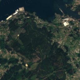
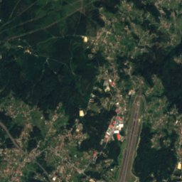
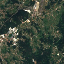
Satellite: Sentinel-2 cloudless 2016 by EOX IT Services GmbH · CC BY 4.0 · Contains modified Copernicus Sentinel data 2016
Lagares River
River

Atlantic Islands of Galicia National Park
National park
Mountains
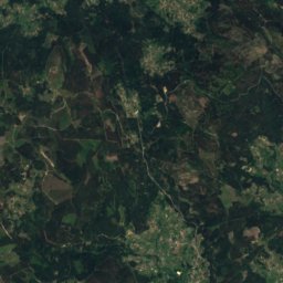
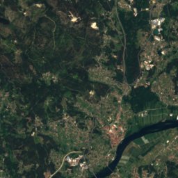
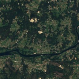
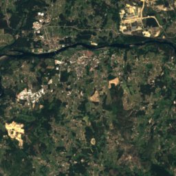
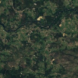
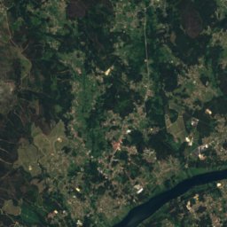
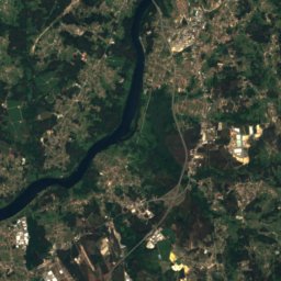
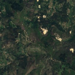
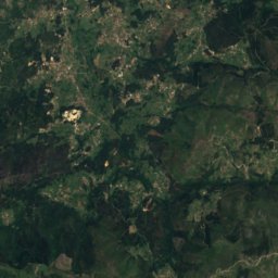
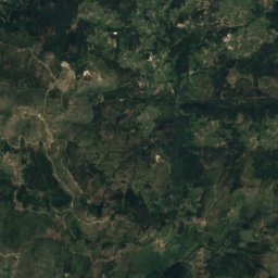
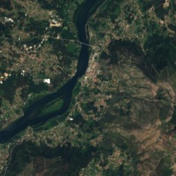
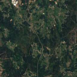
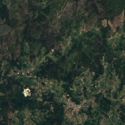
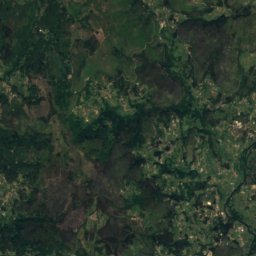
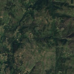
Satellite: Sentinel-2 cloudless 2016 by EOX IT Services GmbH · CC BY 4.0 · Contains modified Copernicus Sentinel data 2016
Serra Pequena
689 m

Photo: Albert galiza Copyright: GFDL Publicada por/Publish by: Albert galiza · CC BY-SA 3.0 · Wikimedia CommonsReport this photo · linked, not stored
Monte Aloia
629 m
Photo: Txo (discusión) Mi discusión en castellano 20:43, 22 August 2007 (UTC) · Public domain · Wikimedia CommonsReport this photo · linked, not stored
Monte Faro de Domaio
628 m
Heritage

Concatedral de Santa María de Vigo
bien de interés cultural · 1816


Museums


Photo: Adrián Estévez (Estevoaei) · CC BY-SA 4.0 · Wikimedia CommonsReport this photo · linked, not stored

Museo del Mar de Galicia
Maritime museum · 2002