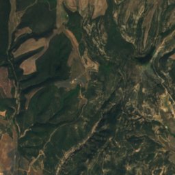
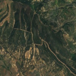
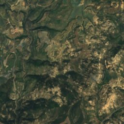
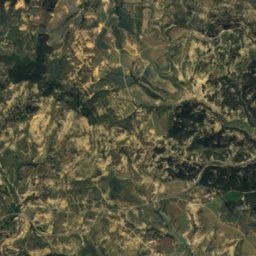
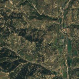
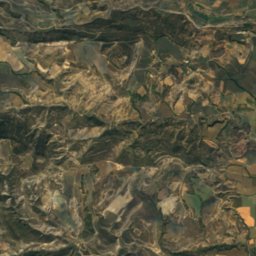
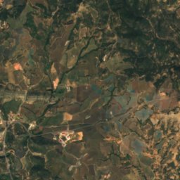
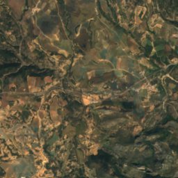
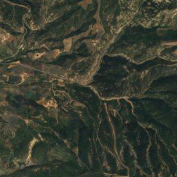
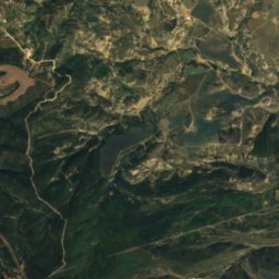
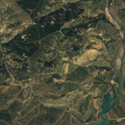
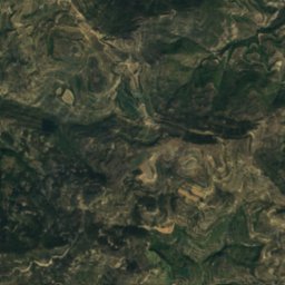
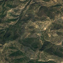
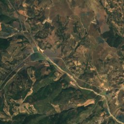
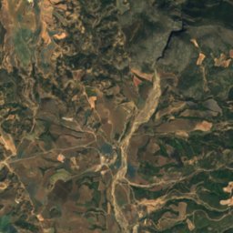
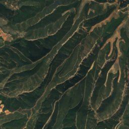
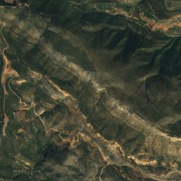
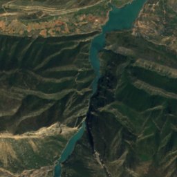
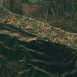
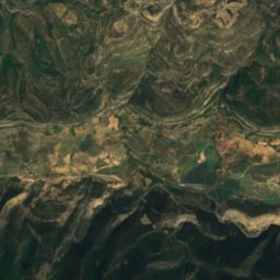
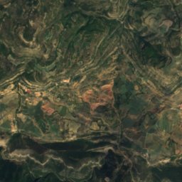
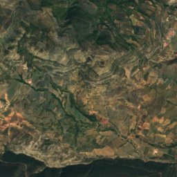
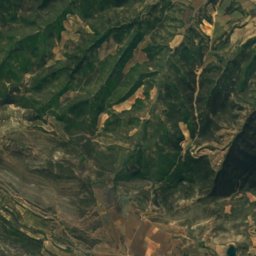
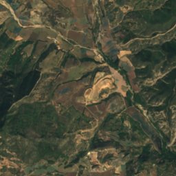
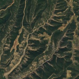
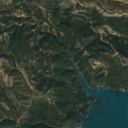
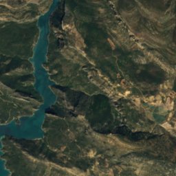
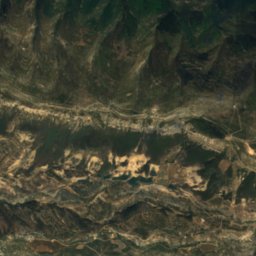
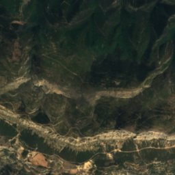
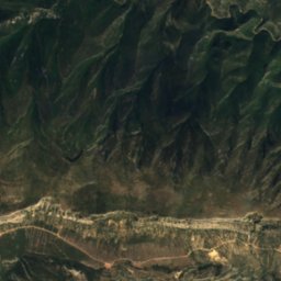
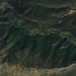
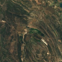
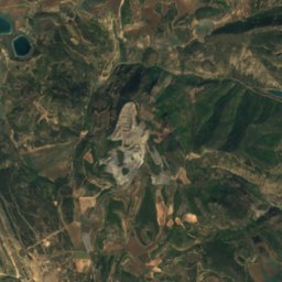
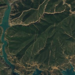
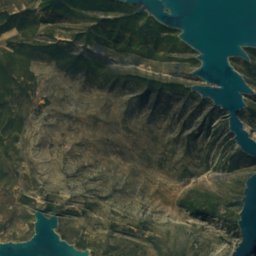
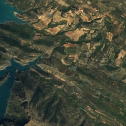
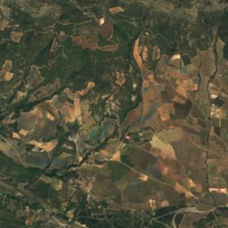
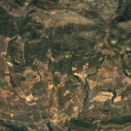
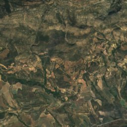
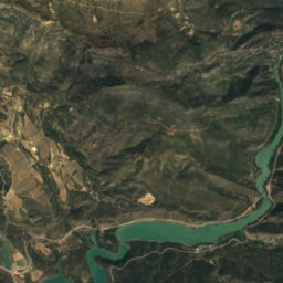
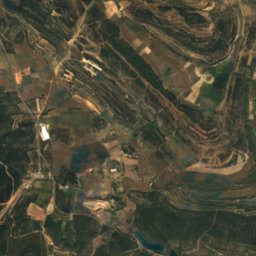
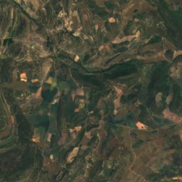
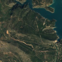
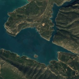
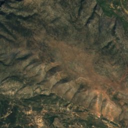
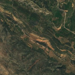
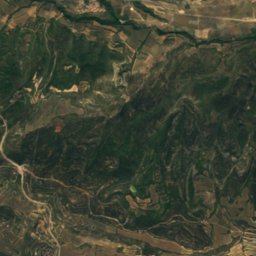
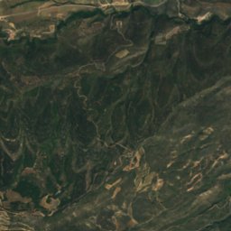
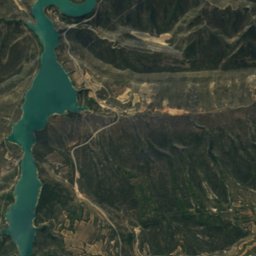
Satellite: Sentinel-2 cloudless 2016 by EOX IT Services GmbH · CC BY 4.0 · Contains modified Copernicus Sentinel data 2016

Photo: Isidre blanc · CC BY-SA 4.0 · Wikimedia Commons
Tossal de les TorretesReport this photo · linked, not stored
Tossal de les TorretesTossal de les TorretesReport this photo · linked, not stored

Photo: Josep Renalias · CC BY-SA 3.0 · Wikimedia Commons
Sant AlísReport this photo · linked, not stored
Sant AlísSant AlísReport this photo · linked, not stored

Photo: Isidre blanc · CC BY-SA 4.0 · Wikimedia Commons
Tossal de Mirapallars i UrgellReport this photo · linked, not stored
Tossal de Mirapallars i UrgellTossal de Mirapallars i UrgellReport this photo · linked, not stored

Photo: Isidre blanc · CC BY-SA 3.0 · Wikimedia Commons
Puig del Camí RamaderReport this photo · linked, not stored
Puig del Camí RamaderPuig del Camí RamaderReport this photo · linked, not stored
CaveÀger, Catalonia
Forat dels Faisans
CaveBest Apr · Sep–Oct
Elevation–above sea level
Inside13°Call year
Nearest townÀger7.0 km
42.05° N, 0.72° EUTC+1 · Central European Standard Time
When to goÀger · weather score
Best timeApr · Sep–Oct
October: high / low21° / 8°
Cave
Forat dels Faisans in brief
Forat dels Faisans is a cave in Àger, Catalonia, Spain.
The nearest town is Àger, 7.0 km to the SE, where the weather is best in April, September and October.
Inside, a cave stays close to the average yearly air temperature outside: about 13°C all year.
Weather nearby now
Forecast for Àger12°
Partly cloudy now
Today
29 Oct
21°
8°
Fri
30 Oct
19°
8°
Sat
31 Oct
19°
8°
Sun
1 Nov
18°
6°
Mon
2 Nov
15°
5°
Model run 12:00 UTCRefreshed several times a day
When to go
Climate of ÀgerThe best months around Forat dels Faisans
Month score in Àger
Comfort, dry days and sunshine · out of 10029
Jan
44
Feb
60
Mar
67
Apr
66
May
62
Jun
51
Jul
55
Aug
71
Sep
73
Oct
48
Nov
32
Dec
Map
Forat dels Faisans from above
Nature nearbyAll of Spain
Satellite: Sentinel-2 cloudless 2016 by EOX IT Services GmbH · CC BY 4.0 · Contains modified Copernicus Sentinel data 2016
Satellite: Sentinel-2 cloudless 2016 by EOX IT Services GmbH · CC BY 4.0 · Contains modified Copernicus Sentinel data 2016
Satellite: Sentinel-2 cloudless 2016 by EOX IT Services GmbH · CC BY 4.0 · Contains modified Copernicus Sentinel data 2016
Satellite: Sentinel-2 cloudless 2016 by EOX IT Services GmbH · CC BY 4.0 · Contains modified Copernicus Sentinel data 2016
Satellite: Sentinel-2 cloudless 2016 by EOX IT Services GmbH · CC BY 4.0 · Contains modified Copernicus Sentinel data 2016
Satellite: Sentinel-2 cloudless 2016 by EOX IT Services GmbH · CC BY 4.0 · Contains modified Copernicus Sentinel data 2016
Summits nearbyMountains of Spain


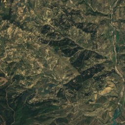
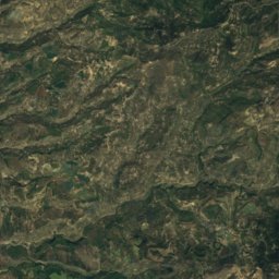
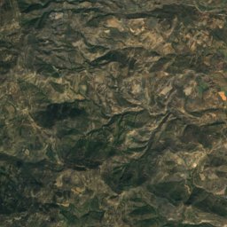
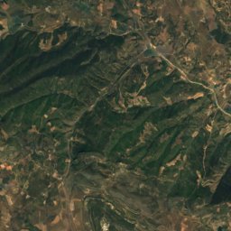
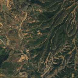
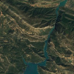
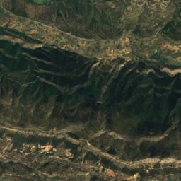
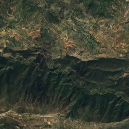
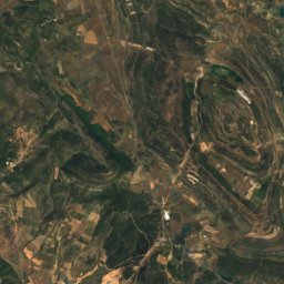
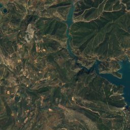
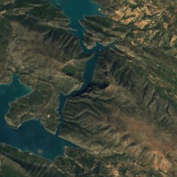
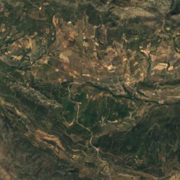
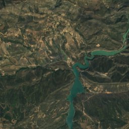
Satellite: Sentinel-2 cloudless 2016 by EOX IT Services GmbH · CC BY 4.0 · Contains modified Copernicus Sentinel data 2016
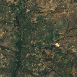
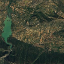
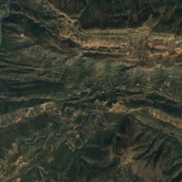
Satellite: Sentinel-2 cloudless 2016 by EOX IT Services GmbH · CC BY 4.0 · Contains modified Copernicus Sentinel data 2016
Stay nearby
Towns close by


Photo: Miquel Català i Coït · CC BY-SA 3.0 · Wikimedia CommonsReport this photo · linked, not stored
Entença
Aragon · 14 km W
21°Oct high
11wet days
74score

Around here
Àger and around
Nature


Satellite: Sentinel-2 cloudless 2016 by EOX IT Services GmbH · CC BY 4.0 · Contains modified Copernicus Sentinel data 2016
Graller de Comafaió
Cave · 1,427 m
Mountains


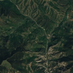
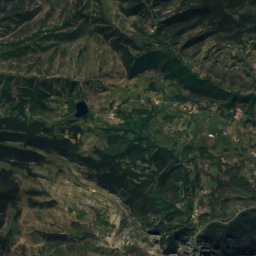
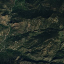
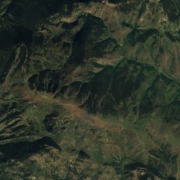
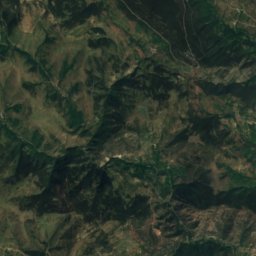
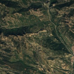
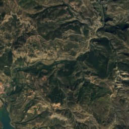
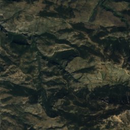
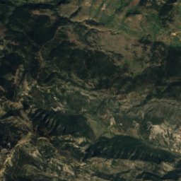
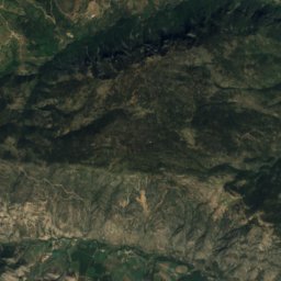
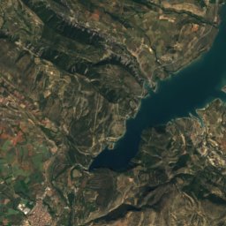
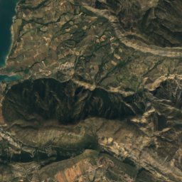
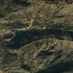
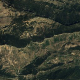
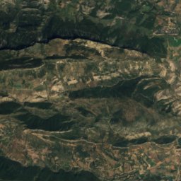
Satellite: Sentinel-2 cloudless 2016 by EOX IT Services GmbH · CC BY 4.0 · Contains modified Copernicus Sentinel data 2016
Bony dels Cóms
1,832 m · serra de la Travessa
Heritage

Castell i col·legiata de Sant Pere d'Àger
Cultural Asset of National Interest · 1000


Casa Parroquial, Àger
Cultural Asset part of the cultural heritage of Catalonia · 1800


