



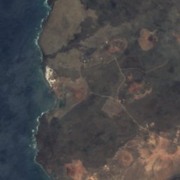
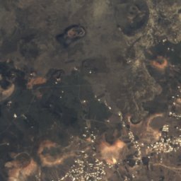





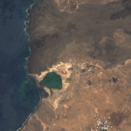
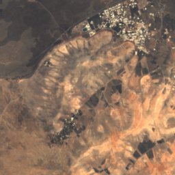
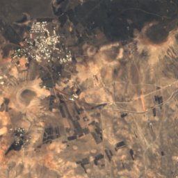
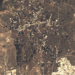


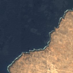
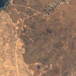
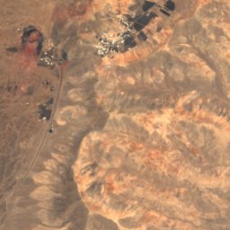
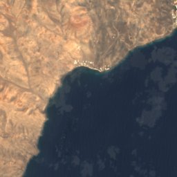
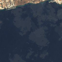



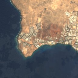
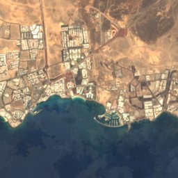
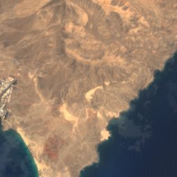
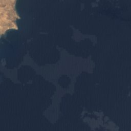







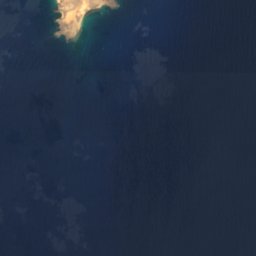









Satellite: Sentinel-2 cloudless 2016 by EOX IT Services GmbH · CC BY 4.0 · Contains modified Copernicus Sentinel data 2016

Photo: Frank Vincentz · CC BY-SA 3.0 · Wikimedia Commons
Playa Blanca, Canary IslandsReport this photo · linked, not stored
Playa Blanca, Canary IslandsPlaya Blanca, Canary IslandsReport this photo · linked, not stored

Photo: Fry72 (Karel Frydrýšek) · CC BY-SA 4.0 · Wikimedia Commons
Montaña Blanca, TíasReport this photo · linked, not stored
Montaña Blanca, TíasMontaña Blanca, TíasReport this photo · linked, not stored

Photo: Yummifruitbat · CC BY-SA 2.5 · Wikimedia Commons
Hacha GrandeReport this photo · linked, not stored
Hacha GrandeHacha GrandeReport this photo · linked, not stored

Photo: Patrice78500 · CC BY-SA 4.0 · Wikimedia Commons
Montaña DiamaReport this photo · linked, not stored
Montaña DiamaMontaña DiamaReport this photo · linked, not stored
BeachPlaya Blanca, Canary Islands
Flamingo
BeachBest Apr–Jun
Elevation–above sea level
Water qualityExcellentEU · 2025
Nearest townPlaya Blanca1.5 km
28.86° N, 13.84° WUTC+0 · Western European Standard Time
When to goPlaya Blanca · weather score
Best timeApr–Jun
October: high / low26° / 20°
Beach
Flamingo in brief
Flamingo is a beach in Playa Blanca, Canary Islands, Spain.
The nearest town is Playa Blanca, 1.5 km to the NE, where the weather is best in April, May and June.
Bathing water quality (EU, 2025): excellent.
The sea is warmest in September, at about 23°C.
Weather nearby now
Forecast for Playa Blanca24°
Sunny now
Today
27 Oct
28°
21°
Wed
28 Oct
27°
20°
Thu
29 Oct
26°
20°
Fri
30 Oct
26°
20°
Sat
31 Oct
26°
20°
Model run 00:00 UTCRefreshed several times a day
Sea and air through the year
Sea surface temperature off the coast and the average daily high in Playa Blanca, month by month.Jan19°20°
Feb18°21°
Mar18°22°
Apr19°22°
May20°23°
Jun21°24°
Jul22°26°
Aug22°27°
Sep23°27°
Oct23°26°
Nov22°23°
Dec20°21°
seaair, daily high
Map
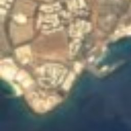
Flamingo from above
Nature nearbyAll of Spain
Satellite: Sentinel-2 cloudless 2016 by EOX IT Services GmbH · CC BY 4.0 · Contains modified Copernicus Sentinel data 2016
Satellite: Sentinel-2 cloudless 2016 by EOX IT Services GmbH · CC BY 4.0 · Contains modified Copernicus Sentinel data 2016

Satellite: Sentinel-2 cloudless 2016 by EOX IT Services GmbH · CC BY 4.0 · Contains modified Copernicus Sentinel data 2016
Satellite: Sentinel-2 cloudless 2016 by EOX IT Services GmbH · CC BY 4.0 · Contains modified Copernicus Sentinel data 2016
Satellite: Sentinel-2 cloudless 2016 by EOX IT Services GmbH · CC BY 4.0 · Contains modified Copernicus Sentinel data 2016
Summits nearbyMountains of Spain

Photo: Fry72 (Karel Frydrýšek) · CC BY-SA 4.0 · Wikimedia CommonsReport this photo · linked, not stored


Photo: Fry72 (Karel Frydrýšek) · CC BY-SA 4.0 · Wikimedia CommonsReport this photo · linked, not stored


Stay nearby
Towns close by

Photo: Luis Miguel Bugallo Sánchez (Lmbuga) · CC BY-SA 3.0 · Wikimedia CommonsReport this photo · linked, not stored
Yaiza
Canary Islands · 13 km NE
25°Oct high
3wet days
91score

Photo: Andy Mitchell from Glasgow, UK · CC BY-SA 2.0 · Wikimedia CommonsReport this photo · linked, not stored
Corralejo
Canary Islands · 14 km S
26°Oct high
3wet days
90score

Around here
Playa Blanca and around
Nature


Mountains
Photo: Fry72 (Karel Frydrýšek) · CC BY-SA 4.0 · Wikimedia CommonsReport this photo · linked, not stored
Montaña Blanca, Tías
596 m


Heritage







Satellite: Sentinel-2 cloudless 2016 by EOX IT Services GmbH · CC BY 4.0 · Contains modified Copernicus Sentinel data 2016
Iglesia de San Marcial de Rubicón
bien de interés cultural
Museums


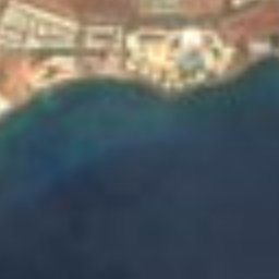
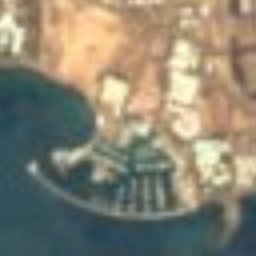


Satellite: Sentinel-2 cloudless 2016 by EOX IT Services GmbH · CC BY 4.0 · Contains modified Copernicus Sentinel data 2016
Museo Atlántico de Lanzarote
2016