Skip to content
Destinations
Weather & climate
Nature
Outdoors
Culture
Events
Sky & live
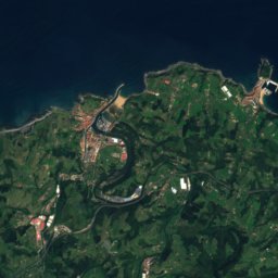
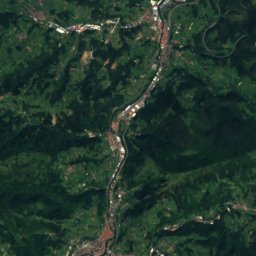
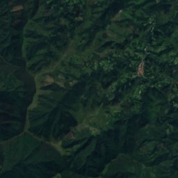
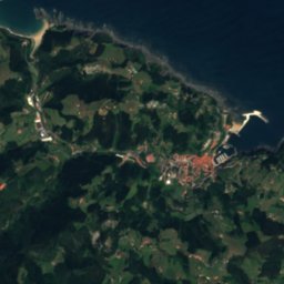
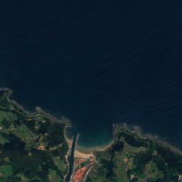
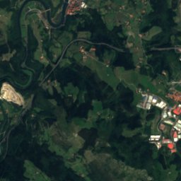
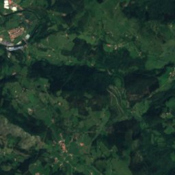
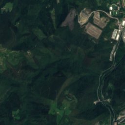
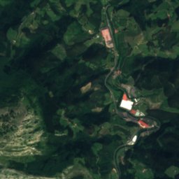
Satellite: Sentinel-2 cloudless 2016 by EOX IT Services GmbH · CC BY 4.0 · Contains modified Copernicus Sentinel data 2016
Cave of Altxerri
Photo: GipuzkoaKultura · CC BY-SA 2.0 · Wikimedia Commons
Cave of AltxerriReport this photo · linked, not stored
Cave of Altxerri
Ekain cave
Photo: http://www.argazkiak.org/GipuzkoaKultura/ · CC BY-SA 3.0 · Wikimedia Commons
Ekain caveReport this photo · linked, not stored
Ekain cave
Narbazta
Photo: Basustako · CC BY 4.0 · Wikimedia Commons
NarbaztaReport this photo · linked, not stored
Narbazta
Zarautz
Photo: Theklan · CC BY-SA 4.0 · Wikimedia Commons
ZarautzReport this photo · linked, not stored
Zarautz
CaveAia, Basque Country

Erralla

CaveBest Jul–Sep
Elevation–above sea level
Inside14°Call year
Nearest townAia4.2 km
43.21° N, 2.18° WUTC+1 · Central European Standard Time
When to goAia · weather score
JanFebMarAprMayJunJulAugSepOctNovDec67October
Best timeJul–Sep
October: high / low19° / 12°
Cave

Erralla in brief

Erralla is a cave in Aia, Basque Country, Spain — paleolitic site.

The nearest town is Aia, 4.2 km to the NE, where the weather is best in July, August and September.

Inside, a cave stays close to the average yearly air temperature outside: about 14°C all year.

Aia: weather and travel guide

Weather nearby now

Forecast for Aia
14°
Sunny now
Wind18 km/h
Humidity62%
Cloud cover11%
Today
25 Oct
20°
7°
2 mm
Mon
26 Oct
22°
10°
Tue
27 Oct
20°
13°
1 mm
Wed
28 Oct
16°
9°
1 mm
Thu
29 Oct
22°
6°

Model run 00:00 UTCRefreshed several times a day

When to go

The best months around Erralla

Climate of Aia

Month score in Aia

Comfort, dry days and sunshine · out of 100
25
Jan
30
Feb
42
Mar
50
Apr
62
May
70
Jun
74
Jul
74
Aug
74
Sep
67
Oct
41
Nov
29
Dec
Map

Erralla from above

Nature nearbyAll of Spain
Photo: GipuzkoaKultura · CC BY-SA 2.0 · Wikimedia CommonsReport this photo · linked, not stored
Cave of AltxerriCave7.7 kmNECave of Altxerri
Photo: http://www.argazkiak.org/GipuzkoaKultura/ · CC BY-SA 3.0 · Wikimedia CommonsReport this photo · linked, not stored
Ekain caveCave8.2 kmNWEkain cave
Photo: Basustako · CC BY 4.0 · Wikimedia CommonsReport this photo · linked, not stored
NarbaztaRiver8.3 kmNWNarbazta
Photo: Theklan · CC BY-SA 4.0 · Wikimedia CommonsReport this photo · linked, not stored
ZarautzBeach9.1 kmNZarautz
Photo: Basustako · CC BY 4.0 · Wikimedia CommonsReport this photo · linked, not stored
OrdiRiver9.2 kmNWOrdi
Photo: Asier Sarasua Garmendia, Assar · CC BY-SA 3.0 · Wikimedia CommonsReport this photo · linked, not stored
Oribar-ZaharBeach9.4 kmNEOribar-Zahar
Summits nearbyMountains of Spain
Photo: Iñaki LLM · CC BY-SA 3.0 · Wikimedia CommonsReport this photo · linked, not stored
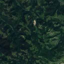
Ganboa24 km SE1,412 mJuly 20°Ganboa
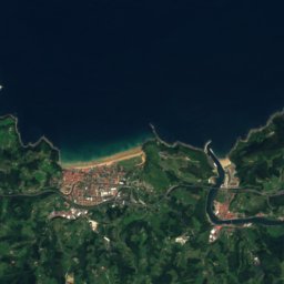
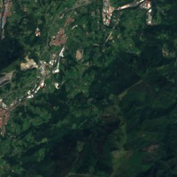
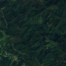
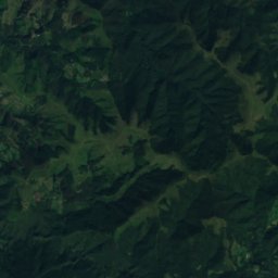
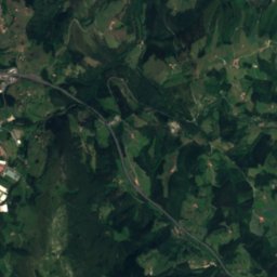
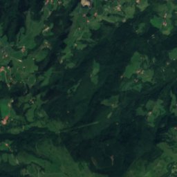
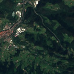
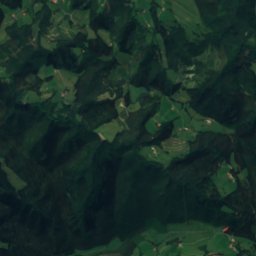
Satellite: Sentinel-2 cloudless 2016 by EOX IT Services GmbH · CC BY 4.0 · Contains modified Copernicus Sentinel data 2016
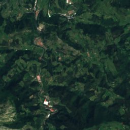
Beoain25 km SE1,359 mJuly 21°Beoain
Photo: Euskaldunaa · CC BY-SA 3.0 · Wikimedia CommonsReport this photo · linked, not stored
Larrunarri22 km S1,346 mJuly 21°Larrunarri
Photo: Keta · CC BY-SA 3.0 · Wikimedia CommonsReport this photo · linked, not stored
Balerdi23 km SE1,197 mJuly 22°Balerdi
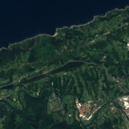
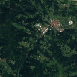
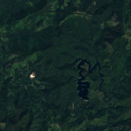
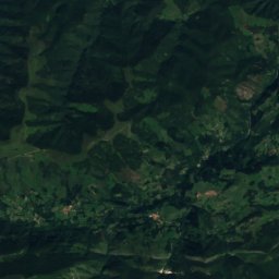
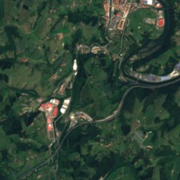
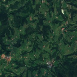
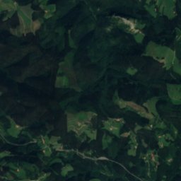
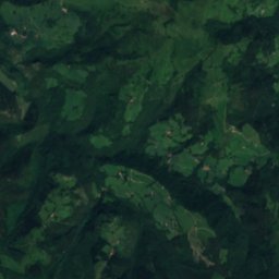
Satellite: Sentinel-2 cloudless 2016 by EOX IT Services GmbH · CC BY 4.0 · Contains modified Copernicus Sentinel data 2016
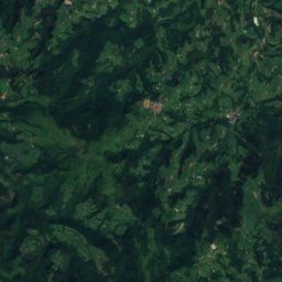
Hernio4.8 km SE1,075 mJuly 21°Hernio
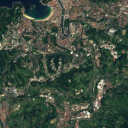
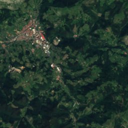
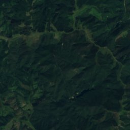
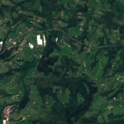
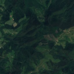
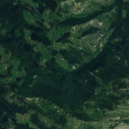
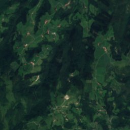
Satellite: Sentinel-2 cloudless 2016 by EOX IT Services GmbH · CC BY 4.0 · Contains modified Copernicus Sentinel data 2016
Altzegi23 km SE1,019 mJuly 22°Altzegi
Stay nearby

Towns close by

Aia
Photo: Antxon gomez · CC BY-SA 3.0 · Wikimedia CommonsReport this photo · linked, not stored

Aia

Basque Country · 4.2 km NE
19°Oct high
12wet days
67score
Aia
Errezil
Photo: Keta · CC BY-SA 3.0 · Wikimedia CommonsReport this photo · linked, not stored

Errezil

Basque Country · 4.9 km S
19°Oct high
12wet days
65score
Errezil
Aizarnazabal
Photo: Ojanguren, Indalecio · CC BY-SA 3.0 · Wikimedia CommonsReport this photo · linked, not stored

Aizarnazabal

Basque Country · 6.9 km NW
20°Oct high
12wet days
67score
Aizarnazabal
Larraul
Photo: Unknown author · CC BY-SA 4.0 · Wikimedia CommonsReport this photo · linked, not stored

Larraul

Basque Country · 6.9 km E
19°Oct high
12wet days
67score
Larraul
Around here

Aia and around

Aia
Photo: Antxon gomez · CC BY-SA 3.0 · Wikimedia CommonsReport this photo · linked, not stored

Aia

Basque Country · Spain
Jul–Sepbest months
24°July high
297 maltitude
Aia

Nature

Cave of Altxerri
Photo: GipuzkoaKultura · CC BY-SA 2.0 · Wikimedia CommonsReport this photo · linked, not stored
3.7 km N

Cave of Altxerri

Cave
Cave of Altxerri
Ekain cave
Photo: http://www.argazkiak.org/GipuzkoaKultura/ · CC BY-SA 3.0 · Wikimedia CommonsReport this photo · linked, not stored
10 km W

Ekain cave

Cave
Ekain cave
Arroaerreka river
Photo: ZumaiaHE5 · CC BY-SA 4.0 · Wikimedia CommonsReport this photo · linked, not stored
11 km NW

Arroaerreka river

River
Arroaerreka river

Mountains

Aketegi
Photo: Mikel Larreategi · CC BY-SA 4.0 · Wikimedia CommonsReport this photo · linked, not stored
34 km SW

Aketegi

1,551 m · Aizkorri mountain range
Aketegi
Aketegi erpina
Photo: Mikel Larreategi · CC BY-SA 4.0 · Wikimedia CommonsReport this photo · linked, not stored
34 km SW

Aketegi erpina

1,548 m · Aizkorri mountain range
Aketegi erpina
Aizkorri
Photo: Ketari · CC BY 3.0 · Wikimedia CommonsReport this photo · linked, not stored
35 km SW

Aizkorri

1,523 m · Aizkorri mountain range
Aizkorri

Heritage

town hall of Aia
Photo: Luistxo · CC BY-SA 3.0 · Wikimedia CommonsReport this photo · linked, not stored
under 100 m S

town hall of Aia

Inventoried Cultural Asset (Basque Autonomous Region) · 1562
town hall of Aia
iglesia de San Esteban, Aia
Photo: Uranzu · CC BY-SA 4.0 · Wikimedia CommonsReport this photo · linked, not stored
0.1 km S

iglesia de San Esteban, Aia

Inventoried Cultural Asset (Basque Autonomous Region)
iglesia de San Esteban, Aia
Gorostiola baserria
Photo: Antxon Gomez · CC BY-SA 3.0 · Wikimedia CommonsReport this photo · linked, not stored
0.7 km NW

Gorostiola baserria

Basque government heritage site
Gorostiola baserria

Museums

Agorregi ironworks
Photo: SnOiD · CC BY-SA 4.0 · Wikimedia CommonsReport this photo · linked, not stored
1.2 km N

Agorregi ironworks

Agorregi ironworks
Iturraran, Centro de Interpretación del Parque Natural de Pagoeta
Photo: Utolotu · CC0 · Wikimedia CommonsReport this photo · linked, not stored
1.5 km NW

Iturraran, Centro de Interpretación del Parque Natural de Pagoeta

Interpretation centre
Iturraran, Centro de Interpretación del Parque Natural de Pagoeta
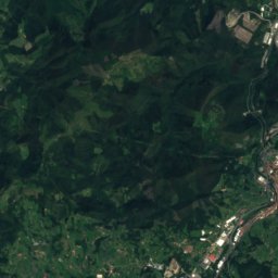
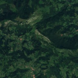
Satellite: Sentinel-2 cloudless 2016 by EOX IT Services GmbH · CC BY 4.0 · Contains modified Copernicus Sentinel data 2016
1.6 km NW

Conjunto Ferro Molinero de Agorregi

Conjunto Ferro Molinero de Agorregi