

Photo: Balles2601 / Wikimedia Commons / CC BY-SA 4.0 · CC BY-SA 4.0 · Wikimedia Commons
Pancha islandReport this photo · linked, not stored
Pancha islandPancha islandReport this photo · linked, not stored

Photo: Pixoto79 http://maps.google.com/maps?q=43.548743,-7.021208&ll=43.548713,-7.02128 · CC BY-SA 3.0 · Wikimedia Commons
Playa de Arnao de FiguerasReport this photo · linked, not stored
Playa de Arnao de FiguerasPlaya de Arnao de FiguerasReport this photo · linked, not stored
RiverRibadeo, Galicia
Eo
RiverBest Jul–Sep
Elevation–above sea level
Length99 kmsource to mouth
Nearest townRibadeo2.0 km
43.55° N, 7.03° WUTC+1 · Central European Standard Time
When to goRibadeo · weather score
Best timeJul–Sep
October: high / low20° / 12°
River
Eo in brief
Eo is a river in Ribadeo, Galicia, Spain — river in the Iberian Peninsula.
The nearest town is Ribadeo, 2.0 km to the S, where the weather is best in July, August and September.
Eo is 99 km long.
Weather nearby now
Forecast for Ribadeo22°
Sunny now
Today
26 Oct
23°
14°
Tue
27 Oct
19°
13°
4 mm
Wed
28 Oct
20°
12°
Thu
29 Oct
20°
11°
Fri
30 Oct
24°
10°
Model run 12:00 UTCRefreshed several times a day
The course of the river
As mapped in OpenStreetMap, with the towns along its banks.- 1A Pontenova117 m
- 2San Tirso de Abres42 m
- 3Guiar200 m
- 4Vegadeo9 m
- 5Piantón18 m
- 6Moldes53 m
- 7Ribadeo45 m
- 8Castropol27 m
- 9Piñera22 m
sourcemouth (or where the mapped line leaves the country)
Map
Eo from above
Nature nearbyAll of Spain

Photo: Balles2601 / Wikimedia Commons / CC BY-SA 4.0 · CC BY-SA 4.0 · Wikimedia CommonsReport this photo · linked, not stored





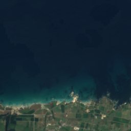
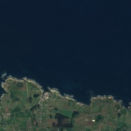
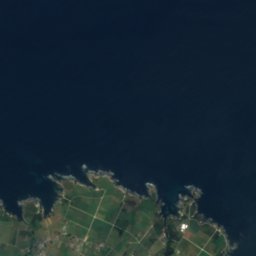
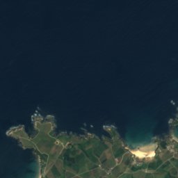
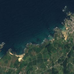
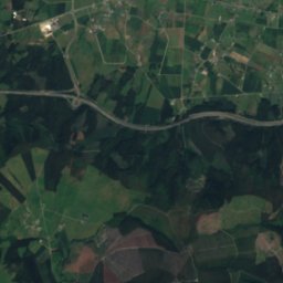
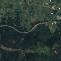
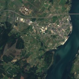
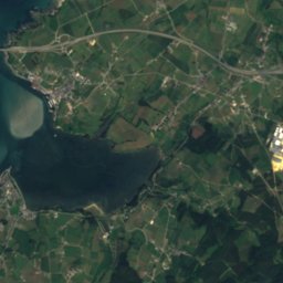
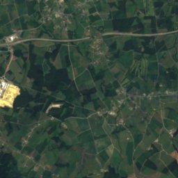
Satellite: Sentinel-2 cloudless 2016 by EOX IT Services GmbH · CC BY 4.0 · Contains modified Copernicus Sentinel data 2016
Satellite: Sentinel-2 cloudless 2016 by EOX IT Services GmbH · CC BY 4.0 · Contains modified Copernicus Sentinel data 2016

Photo: Pixoto79 http://maps.google.com/maps?q=43.548743,-7.021208&ll=43.548713,-7.02128 · CC BY-SA 3.0 · Wikimedia CommonsReport this photo · linked, not stored

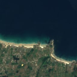
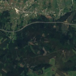


Around here
Ribadeo and around
Nature


Heritage
Satellite: Sentinel-2 cloudless 2016 by EOX IT Services GmbH · CC BY 4.0 · Contains modified Copernicus Sentinel data 2016
Ribadeo
part of UNESCO World Heritage Site
Satellite: Sentinel-2 cloudless 2016 by EOX IT Services GmbH · CC BY 4.0 · Contains modified Copernicus Sentinel data 2016
Torre dos Moreno
bien de interés cultural · 1915
Museums










Satellite: Sentinel-2 cloudless 2016 by EOX IT Services GmbH · CC BY 4.0 · Contains modified Copernicus Sentinel data 2016
Centro de Recepción Los Señores de las Casas-Palacio
Visitor center