
 Antzoriz
 Laga

Photo: Asier Sarasua Aranberri · CC BY-SA 2.0 · Wikimedia Commons
KalamuaReport this photo · linked, not stored
KalamuaKalamuaReport this photo · linked, not stored

Photo: Javier Gómez · CC BY-SA 3.0 · Wikimedia Commons
UrregaraiReport this photo · linked, not stored
UrregaraiUrregaraiReport this photo · linked, not stored
BeachEa, Basque Country
Ea
BeachBest Jul–Sep
Elevation–above sea level
Water qualityGoodEU · 2025
Nearest townEa0.3 km
43.38° N, 2.58° WUTC+2 · Central European Summer Time
When to goEa · weather score
Best timeJul–Sep
October: high / low20° / 13°
Beach
Ea in brief
Ea is a beach in Ea, Basque Country, Spain.
It covers about 0.0 km².
The nearest town in the atlas is Ea, 0.3 km to the SW, where the weather is best in July, August and September.
Bathing water quality (EU, 2025): good.
The sea is warmest in August, at about 22°C.
Weather nearby now
Forecast for Ea17°
Cloudy now
Today
22 Oct
20°
11°
Fri
23 Oct
20°
12°
8 mm
Sat
24 Oct
18°
12°
3 mm
Sun
25 Oct
21°
13°
Mon
26 Oct
20°
13°
Model run 00:00 UTCRefreshed several times a day
Sea and air through the year
Sea surface temperature off the coast and the average daily high in Ea, month by month.Jan13°13°
Feb12°13°
Mar13°15°
Apr14°16°
May16°19°
Jun19°21°
Jul21°23°
Aug22°24°
Sep21°23°
Oct18°20°
Nov16°16°
Dec14°14°
seaair, daily high
When to go
Climate of EaThe best months around Ea
Month score in Ea
Comfort, dry days and sunshine · out of 10033
Jan
36
Feb
47
Mar
54
Apr
67
May
74
Jun
77
Jul
78
Aug
76
Sep
67
Oct
50
Nov
38
Dec
Map
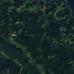
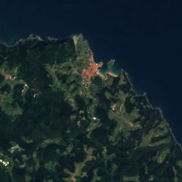
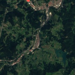
Ea from above
Nature nearbyAll of Spain
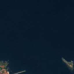




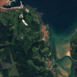
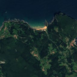
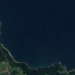

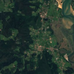
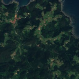
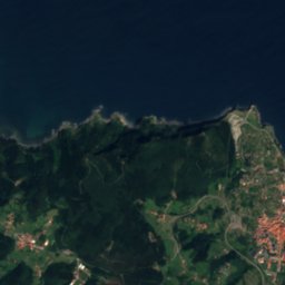
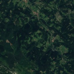
Satellite: Sentinel-2 cloudless 2016 by EOX IT Services GmbH · CC BY 4.0 · Contains modified Copernicus Sentinel data 2016


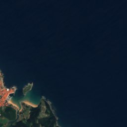
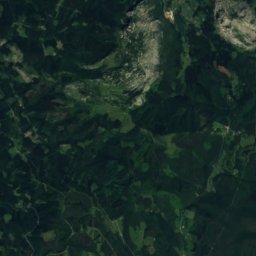
Satellite: Sentinel-2 cloudless 2016 by EOX IT Services GmbH · CC BY 4.0 · Contains modified Copernicus Sentinel data 2016
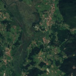
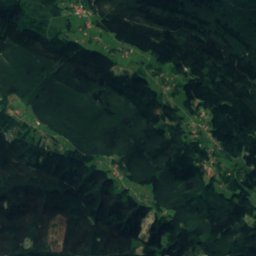
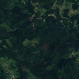
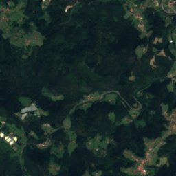
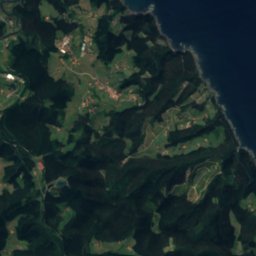
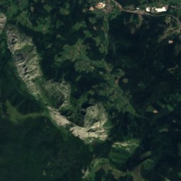
Satellite: Sentinel-2 cloudless 2016 by EOX IT Services GmbH · CC BY 4.0 · Contains modified Copernicus Sentinel data 2016



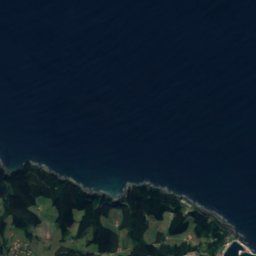
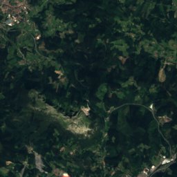
Satellite: Sentinel-2 cloudless 2016 by EOX IT Services GmbH · CC BY 4.0 · Contains modified Copernicus Sentinel data 2016

Summits nearbyMountains of Spain
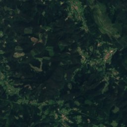
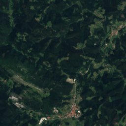
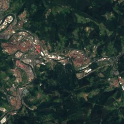
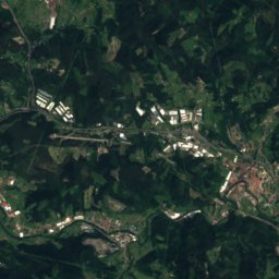
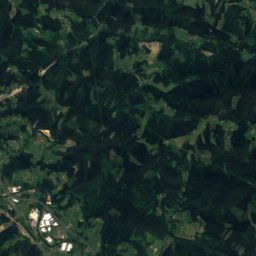
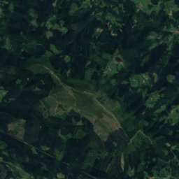
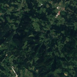
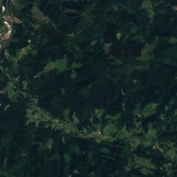
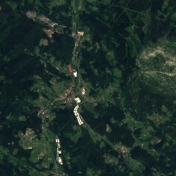
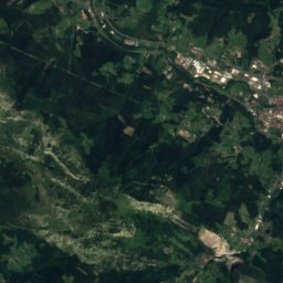
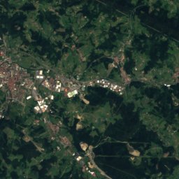
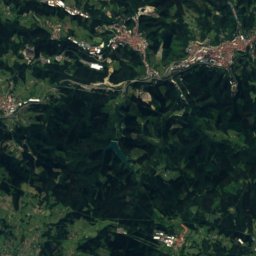
Satellite: Sentinel-2 cloudless 2016 by EOX IT Services GmbH · CC BY 4.0 · Contains modified Copernicus Sentinel data 2016
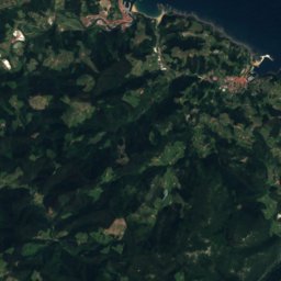
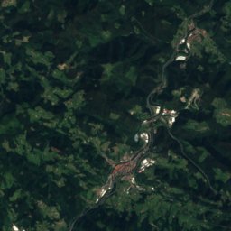
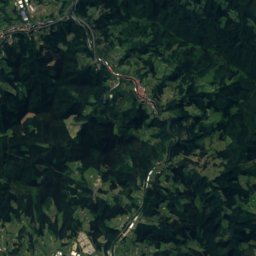
Satellite: Sentinel-2 cloudless 2016 by EOX IT Services GmbH · CC BY 4.0 · Contains modified Copernicus Sentinel data 2016

Photo: Asier Sarasua Aranberri · CC BY-SA 2.0 · Wikimedia CommonsReport this photo · linked, not stored
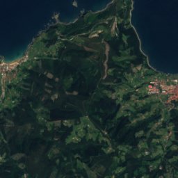
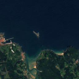


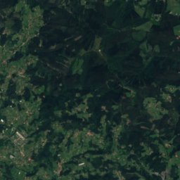
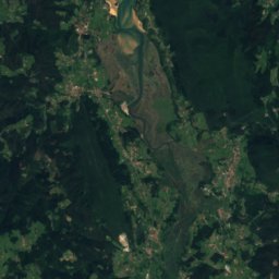
Satellite: Sentinel-2 cloudless 2016 by EOX IT Services GmbH · CC BY 4.0 · Contains modified Copernicus Sentinel data 2016

Satellite: Sentinel-2 cloudless 2016 by EOX IT Services GmbH · CC BY 4.0 · Contains modified Copernicus Sentinel data 2016
Stay nearby
Towns close by


Photo: EJ-GV/Irekia-Eusko Jaurlaritza/Mikel Arrazola · CC BY 3.0 · Wikimedia CommonsReport this photo · linked, not stored
Ereño
Basque Country · 4.4 km SW
19°Oct high
12wet days
66score

Around here
Ea and around
Nature

Satellite: Sentinel-2 cloudless 2016 by EOX IT Services GmbH · CC BY 4.0 · Contains modified Copernicus Sentinel data 2016
Armintxe Cave
Cave

Mountains


Heritage

Satellite: Sentinel-2 cloudless 2016 by EOX IT Services GmbH · CC BY 4.0 · Contains modified Copernicus Sentinel data 2016
Urtubiaga
Basque government heritage site


Collegiate of Santa María de Zenarruza
bien de interés cultural · 1000
Museums


Satellite: Sentinel-2 cloudless 2016 by EOX IT Services GmbH · CC BY 4.0 · Contains modified Copernicus Sentinel data 2016


