















Skip to content
Destinations
Weather & climate
Nature
Outdoors
Culture
Events
Sky & live
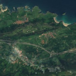
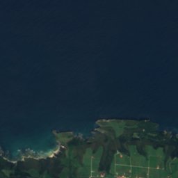
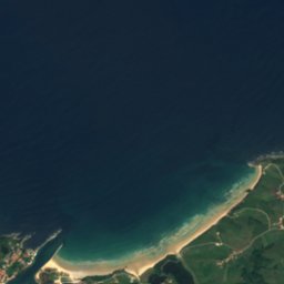
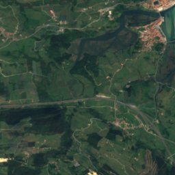
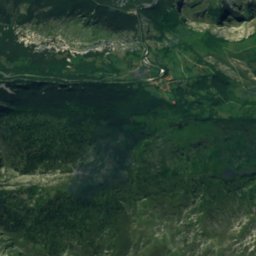
Satellite: Sentinel-2 cloudless 2016 by EOX IT Services GmbH · CC BY 4.0 · Contains modified Copernicus Sentinel data 2016
Pechón beach
Photo: Vanbasten 23 · CC BY-SA 4.0 · Wikimedia Commons
Pechón beachReport this photo · linked, not stored
Pechón beach
Playa de Amió
Photo: Vanbasten 23 · CC BY-SA 4.0 · Wikimedia Commons
Playa de AmióReport this photo · linked, not stored
Playa de Amió
cave of La Loja
Photo: Xuliu Pombar · CC0 · Wikimedia Commons
cave of La LojaReport this photo · linked, not stored
cave of La Loja
Playa de La Franca
Photo: Joergsam · CC BY-SA 3.0 · Wikimedia Commons
Playa de La FrancaReport this photo · linked, not stored
Playa de La Franca
RiverUnquera, Cantabria

Deva

RiverBest Jul–Sep
Elevation–above sea level
Length64 kmsource to mouth
Nearest townUnquera0.2 km
43.37° N, 4.52° WUTC+2 · Central European Summer Time
When to goUnquera · weather score
JanFebMarAprMayJunJulAugSepOctNovDec64October
Best timeJul–Sep
October: high / low20° / 13°
River

Deva in brief

Deva is a river in Unquera, Cantabria, Spain.

The nearest town in the atlas is Unquera, 0.2 km to the NE, where the weather is best in July, August and September.

Deva is 64 km long.

Unquera: weather and travel guide

Weather nearby now

Forecast for Unquera
17°
Cloudy now
Wind9 km/h
Humidity52%
Cloud cover98%
Today
22 Oct
19°
12°
Fri
23 Oct
19°
13°
4 mm
Sat
24 Oct
18°
12°
Sun
25 Oct
20°
13°
Mon
26 Oct
20°
13°

Model run 00:00 UTCRefreshed several times a day

The course of the river

As mapped in OpenStreetMap, with the towns of the atlas along its banks.
1234567891011
  1. 1Cosgaya714 m
  2. 2Camaleño424 m
  3. 3Potes307 m
  4. 4Salarzón706 m
  5. 5Piñeres566 m
  6. 6Cuñaba364 m
  7. 7Abándames76 m
  8. 8Alevia327 m
  9. 9Noriega93 m
  10. 10Colombres115 m
  11. 11Unquera2 m
sourcemouth (or where the mapped line leaves the country)
When to go

The best months around Deva

Climate of Unquera

Month score in Unquera

Comfort, dry days and sunshine · out of 100
38
Jan
40
Feb
47
Mar
52
Apr
67
May
74
Jun
77
Jul
77
Aug
77
Sep
64
Oct
53
Nov
43
Dec
Map

Deva from above

Nature nearbyAll of Spain
Photo: Vanbasten 23 · CC BY-SA 4.0 · Wikimedia CommonsReport this photo · linked, not stored
Pechón beachBeach2.8 kmNEPechón beach
Photo: Vanbasten 23 · CC BY-SA 4.0 · Wikimedia CommonsReport this photo · linked, not stored
Playa de AmióBeach3.6 kmNEPlaya de Amió
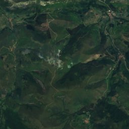
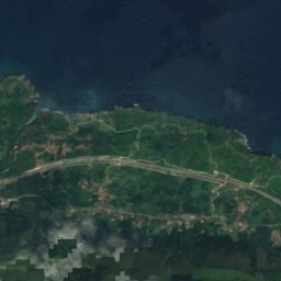
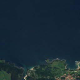
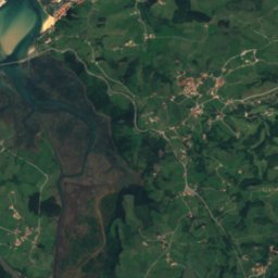
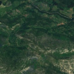
Satellite: Sentinel-2 cloudless 2016 by EOX IT Services GmbH · CC BY 4.0 · Contains modified Copernicus Sentinel data 2016
Playas de MendiaBeach3.8 kmNWPlayas de Mendia
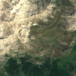
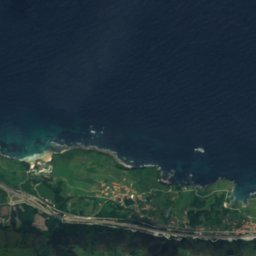
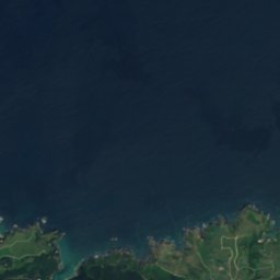
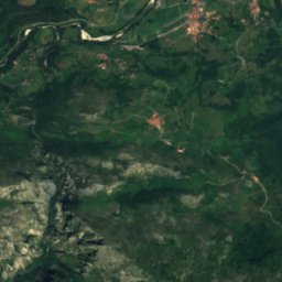
Satellite: Sentinel-2 cloudless 2016 by EOX IT Services GmbH · CC BY 4.0 · Contains modified Copernicus Sentinel data 2016
Besaya RiverRiver4.7 kmWBesaya River
Photo: Xuliu Pombar · CC0 · Wikimedia CommonsReport this photo · linked, not stored
cave of La LojaCave5.2 kmSWcave of La Loja
Photo: Joergsam · CC BY-SA 3.0 · Wikimedia CommonsReport this photo · linked, not stored
Playa de La FrancaBeach5.2 kmWPlaya de La Franca
Summits nearbyMountains of Spain
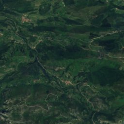
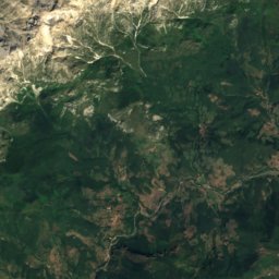
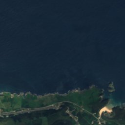
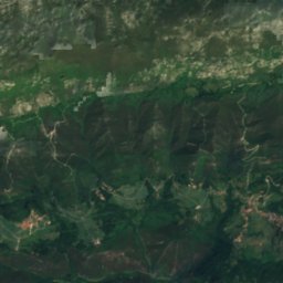
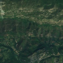
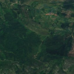
Satellite: Sentinel-2 cloudless 2016 by EOX IT Services GmbH · CC BY 4.0 · Contains modified Copernicus Sentinel data 2016
Peña Ventosa20 km S1,434 mJuly 21°Peña Ventosa
Photo: Benigno Alonso · Public domain · Wikimedia CommonsReport this photo · linked, not stored
Turbina20 km W1,315 mJuly 19°Turbina
Photo: Mfc · CC BY-SA 3.0 · Wikimedia CommonsReport this photo · linked, not stored
Sierra de Cuera20 km W1,315 mJuly 19°Sierra de Cuera
Stay nearby

Towns close by

Unquera
Photo: Luis Fermín TURIEL PEREDO · CC BY-SA 4.0 · Wikimedia CommonsReport this photo · linked, not stored

Unquera

Cantabria · 0.2 km NE
20°Oct high
13wet days
64score
Unquera
Colombres
Photo: Asturianu · CC BY 3.0 · Wikimedia CommonsReport this photo · linked, not stored

Colombres

Asturias · 1.9 km W
20°Oct high
13wet days
64score
Colombres
Noriega
Photo: LBM1948 · CC BY-SA 4.0 · Wikimedia CommonsReport this photo · linked, not stored

Noriega

Asturias · 4.6 km W
20°Oct high
13wet days
64score
Noriega
Alevia
Photo: Carmenmoran · CC BY 4.0 · Wikimedia CommonsReport this photo · linked, not stored

Alevia

Asturias · 7.7 km SW
19°Oct high
13wet days
64score
Alevia
Around here

Unquera and around

Unquera
Photo: Luis Fermín TURIEL PEREDO · CC BY-SA 4.0 · Wikimedia CommonsReport this photo · linked, not stored

Unquera

Cantabria · Spain
Jul–Sepbest months
22°July high
2 maltitude
Unquera

Nature

Cares
Photo: Llosu · CC BY-SA 4.0 · Wikimedia CommonsReport this photo · linked, not stored
9.3 km SW

Cares

River
Cares
Cabra
Photo: Asturkian · CC BY-SA 3.0 · Wikimedia CommonsReport this photo · linked, not stored
11 km W

Cabra

River
Cabra
Latarmá River
Photo: Motta · CC BY-SA 3.0 · Wikimedia CommonsReport this photo · linked, not stored
11 km S

Latarmá River

River
Latarmá River

Mountains

Torre Cerredo
Photo: Davidfase · Public domain · Wikimedia CommonsReport this photo · linked, not stored
33 km SW

Torre Cerredo

2,648 m · Urrieles Massif
Torre Cerredo
Torre Blanca
Photo: Teofrasto820 · CC BY-SA 4.0 · Wikimedia CommonsReport this photo · linked, not stored
35 km SW

Torre Blanca

2,619 m · Urrieles Massif
Torre Blanca
Peña Vieja
Photo: Juan lacruz · CC BY-SA 4.0 · Wikimedia CommonsReport this photo · linked, not stored
32 km SW

Peña Vieja

2,617 m · Picos de Europa
Peña Vieja

Heritage

church of Santa Maria de Tina
Photo: Xuliu Pombar · CC BY-SA 4.0 · Wikimedia CommonsReport this photo · linked, not stored
2.4 km N

church of Santa Maria de Tina

part of UNESCO World Heritage Site · 1300
church of Santa Maria de Tina
hermitage of Santu Mede
Photo: Xuliu Pombar · CC BY-SA 4.0 · Wikimedia CommonsReport this photo · linked, not stored
2.6 km NW

hermitage of Santu Mede

part of UNESCO World Heritage Site · 1600
hermitage of Santu Mede
Cueva del Pindal
Photo: Falconaumanni · CC BY 3.0 · Wikimedia CommonsReport this photo · linked, not stored
2.8 km NW

Cueva del Pindal

part of UNESCO World Heritage Site
Cueva del Pindal

Museums

Fundación Archivo de Indianos - Museo de la Emigración
Photo: RuLf · CC BY-SA 4.0 · Wikimedia CommonsReport this photo · linked, not stored
1.8 km W

Fundación Archivo de Indianos - Museo de la Emigración

1987
Fundación Archivo de Indianos - Museo de la Emigración
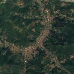
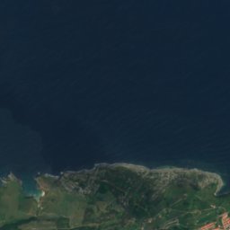
Satellite: Sentinel-2 cloudless 2016 by EOX IT Services GmbH · CC BY 4.0 · Contains modified Copernicus Sentinel data 2016
2.7 km NW

Centro de Interpretación de San Emeterio y la Cueva de El Pindal

Interpretation centre
Centro de Interpretación de San Emeterio y la Cueva de El Pindal
Satellite: Sentinel-2 cloudless 2016 by EOX IT Services GmbH · CC BY 4.0 · Contains modified Copernicus Sentinel data 2016
8.1 km SW

Bowling Museum of Asturias

2003
Bowling Museum of Asturias