

Photo: Bestiasonica · CC BY 3.0 · Wikimedia Commons
Cau del DucReport this photo · linked, not stored
Cau del DucCau del DucReport this photo · linked, not stored

Photo: Raulvs · Public domain · Wikimedia Commons
Puig d'ArquesReport this photo · linked, not stored
Puig d'ArquesPuig d'ArquesReport this photo · linked, not stored

Photo: Josep Maria Viñolas Esteva · CC BY-SA 4.0 · Wikimedia Commons
muntanya dels ÀngelsReport this photo · linked, not stored
muntanya dels Àngelsmuntanya dels ÀngelsReport this photo · linked, not stored

Photo: Pere López Brosa · CC BY-SA 4.0 · Wikimedia Commons
Puig RedóReport this photo · linked, not stored
Puig RedóPuig RedóReport this photo · linked, not stored
RiverTorroella de Montgrí, Catalonia
Daró
RiverBest May–Jun · Sep
Elevation–above sea level
Length43 kmsource to mouth
Nearest townTorroella de Montgrí0.9 km
42.04° N, 3.12° EUTC+1 · Central European Standard Time
When to goTorroella de Montgrí · weather score
Best timeMay–Jun · Sep
October: high / low22° / 14°
River
Daró in brief
Daró is a river in Torroella de Montgrí, Catalonia, Spain.
The nearest town is Torroella de Montgrí, 0.9 km to the NE, where the weather is best in May, June and September.
Daró is 43 km long.
Weather nearby now
Forecast for Torroella de Montgrí16°
Cloudy now
Today
29 Oct
20°
13°
Fri
30 Oct
20°
12°
Sat
31 Oct
20°
12°
1 mm
Sun
1 Nov
22°
8°
Mon
2 Nov
18°
11°
Model run 00:00 UTCRefreshed several times a day
The course of the river
As mapped in OpenStreetMap, with the towns along its banks.- 1Cruïlles40 m
- 2Fonteta67 m
- 3La Bisbal d'Empordà66 m
- 4Monells51 m
- 5Corçà40 m
- 6Ullastret40 m
- 7Parlavà31 m
- 8Ultramort27 m
- 9Serra de Daró14 m
- 10Torroella de Montgrí29 m
- 11Ullà13 m
- 12Gualta14 m
sourcemouth (or where the mapped line leaves the country)
When to go
Climate of Torroella de MontgríThe best months around Daró
Month score in Torroella de Montgrí
Comfort, dry days and sunshine · out of 10058
Jan
64
Feb
72
Mar
80
Apr
81
May
84
Jun
75
Jul
72
Aug
82
Sep
78
Oct
73
Nov
65
Dec
Map
Daró from above
Nature nearbyAll of Spain
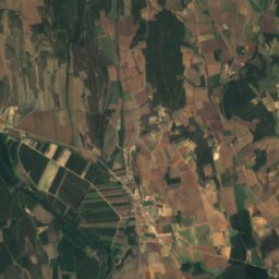
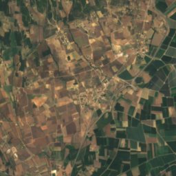
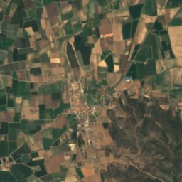
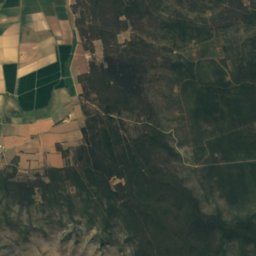
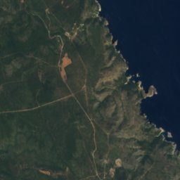
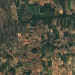
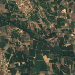
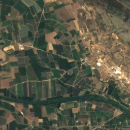
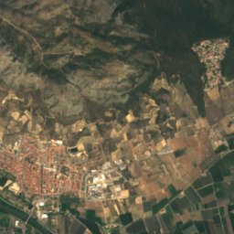
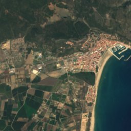
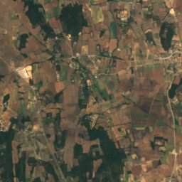
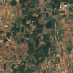
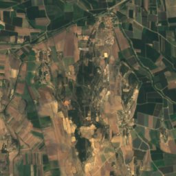
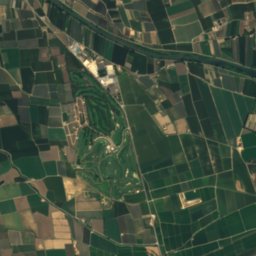
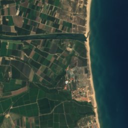
Satellite: Sentinel-2 cloudless 2016 by EOX IT Services GmbH · CC BY 4.0 · Contains modified Copernicus Sentinel data 2016

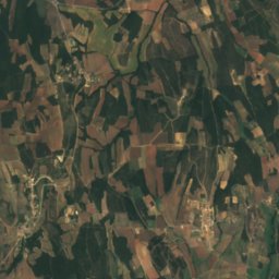
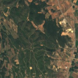
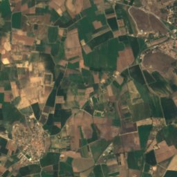
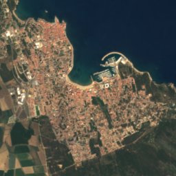
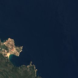
Satellite: Sentinel-2 cloudless 2016 by EOX IT Services GmbH · CC BY 4.0 · Contains modified Copernicus Sentinel data 2016
Satellite: Sentinel-2 cloudless 2016 by EOX IT Services GmbH · CC BY 4.0 · Contains modified Copernicus Sentinel data 2016

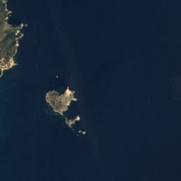
Satellite: Sentinel-2 cloudless 2016 by EOX IT Services GmbH · CC BY 4.0 · Contains modified Copernicus Sentinel data 2016
Satellite: Sentinel-2 cloudless 2016 by EOX IT Services GmbH · CC BY 4.0 · Contains modified Copernicus Sentinel data 2016
Summits nearbyMountains of Spain
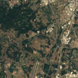
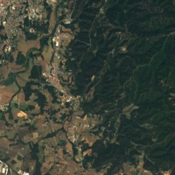
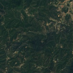
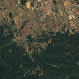
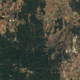
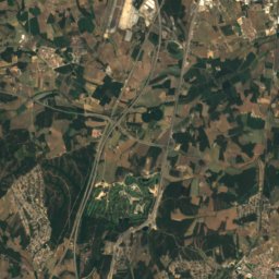
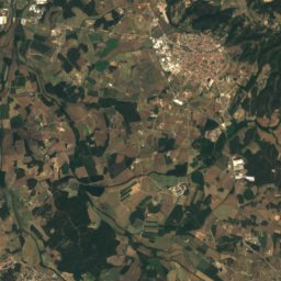
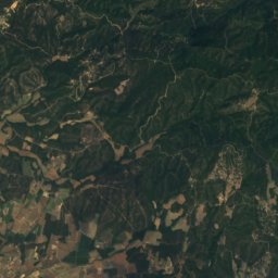
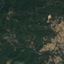
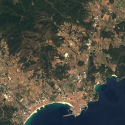
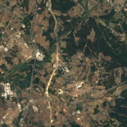
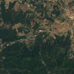
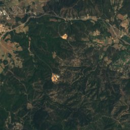
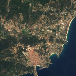
Satellite: Sentinel-2 cloudless 2016 by EOX IT Services GmbH · CC BY 4.0 · Contains modified Copernicus Sentinel data 2016
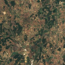
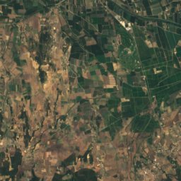
Satellite: Sentinel-2 cloudless 2016 by EOX IT Services GmbH · CC BY 4.0 · Contains modified Copernicus Sentinel data 2016

Satellite: Sentinel-2 cloudless 2016 by EOX IT Services GmbH · CC BY 4.0 · Contains modified Copernicus Sentinel data 2016

Photo: Josep Maria Viñolas Esteva · CC BY-SA 4.0 · Wikimedia CommonsReport this photo · linked, not stored

Stay nearby
Towns close by


Around here
Torroella de Montgrí and around

Torroella de Montgrí
Catalonia · Spain
May–Jun · Sepbest months
28°July high
29 maltitude
Nature


Mountains
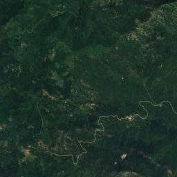
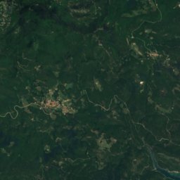
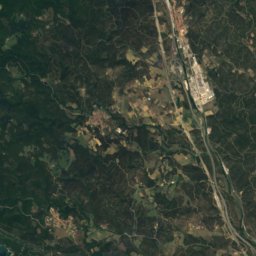
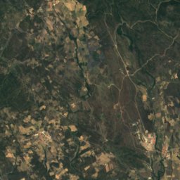
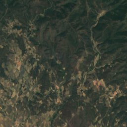
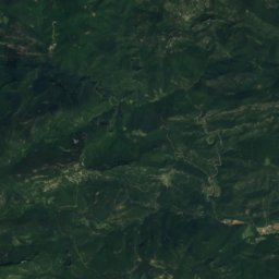
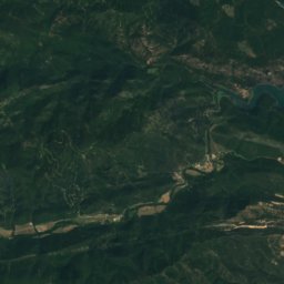
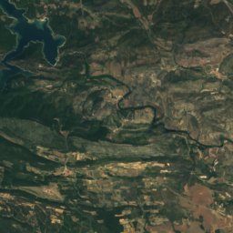
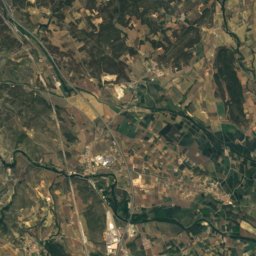
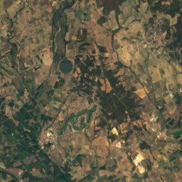
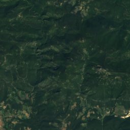
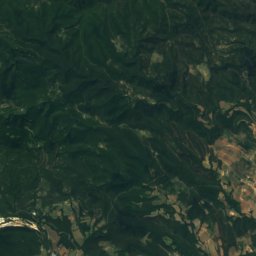
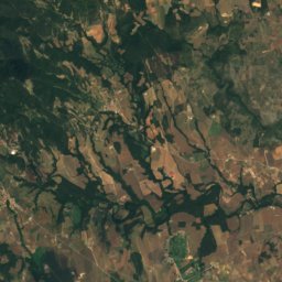
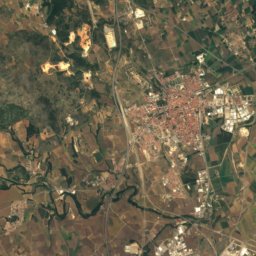
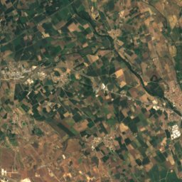
Satellite: Sentinel-2 cloudless 2016 by EOX IT Services GmbH · CC BY 4.0 · Contains modified Copernicus Sentinel data 2016
Puig d'en Clos
1,995 m

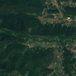
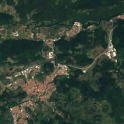
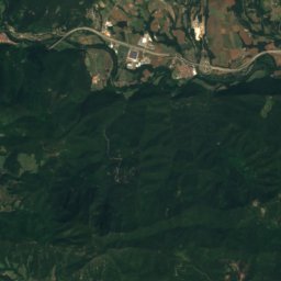
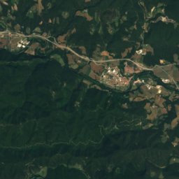
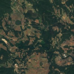
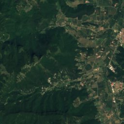
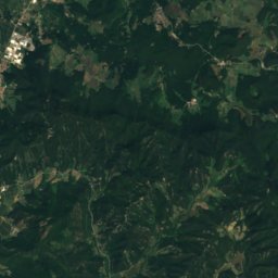
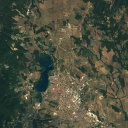
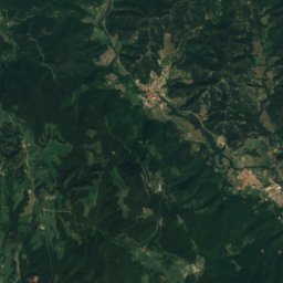
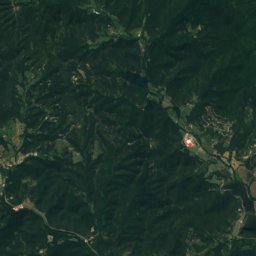
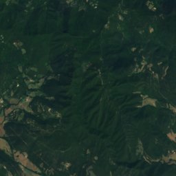
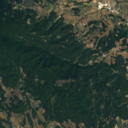
Satellite: Sentinel-2 cloudless 2016 by EOX IT Services GmbH · CC BY 4.0 · Contains modified Copernicus Sentinel data 2016
Turó d'Espinassors
901 m
Heritage

Photo: Original uploader was Dennis Claessens at nl.wikipedia · Public domain · Wikimedia CommonsReport this photo · linked, not stored
Montgrí Castle
Cultural Asset of National Interest · 1300

Pastisseria Batlle
Cultural Asset part of the cultural heritage of Catalonia · 2000


