Skip to content
Destinations
Weather & climate
Nature
Outdoors
Culture
Events
Sky & live
Claper
Photo: Maarten Sepp · CC BY-SA 3.0 · Wikimedia Commons
ClaperReport this photo · linked, not stored
Platja de Portbou
Photo: Nostrix · CC BY-SA 3.0 · Wikimedia Commons
Platja de PortbouReport this photo · linked, not stored
Platja de Portbou
Platja Petita de Portbou
Photo: Amadalvarez · CC BY-SA 3.0 · Wikimedia Commons
Platja Petita de PortbouReport this photo · linked, not stored
Platja Petita de Portbou
Del Pi
Photo: Nicolas Vigier · CC0 · Wikimedia Commons
Del PiReport this photo · linked, not stored
Del Pi
Puig Neulós
Photo: Artico2 · CC BY-SA 3.0 · Wikimedia Commons
Puig NeulósReport this photo · linked, not stored
Puig Neulós
BeachPortbou, Catalonia

Claper

BeachBest May–Jun · Sep
Elevation–above sea level
Water qualityExcellentEU · 2025
Nearest townPortbou1.0 km
42.42° N, 3.17° EUTC+1 · Central European Standard Time
When to goPortbou · weather score
JanFebMarAprMayJunJulAugSepOctNovDec78October
Best timeMay–Jun · Sep
October: high / low21° / 14°
Beach

Claper in brief

Claper is a beach in Portbou, Catalonia, Spain.

The nearest town is Portbou, 1.0 km to the NW, where the weather is best in May, June and September.

Bathing water quality (EU, 2025): excellent.

The sea is warmest in August, at about 22°C.

Portbou: weather and travel guide

Weather nearby now

Forecast for Portbou
19°
Cloudy now
Wind22 km/h
Humidity86%
Cloud cover75%
Today
27 Oct
21°
17°
Wed
28 Oct
21°
15°
Thu
29 Oct
18°
14°
Fri
30 Oct
19°
14°
1 mm
Sat
31 Oct
20°
15°

Model run 00:00 UTCRefreshed several times a day

Sea and air through the year

Sea surface temperature off the coast and the average daily high in Portbou, month by month.
Jan13°13°
Feb13°13°
Mar13°16°
Apr14°17°
May16°21°
Jun19°25°
Jul21°28°
Aug22°28°
Sep21°24°
Oct18°21°
Nov16°16°
Dec14°14°
seaair, daily high
When to go

The best months around Claper

Climate of Portbou

Month score in Portbou

Comfort, dry days and sunshine · out of 100
54
Jan
60
Feb
69
Mar
77
Apr
81
May
87
Jun
77
Jul
75
Aug
82
Sep
78
Oct
69
Nov
60
Dec
Map

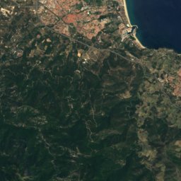
Claper from above

Nature nearbyAll of Spain
Satellite: Sentinel-2 cloudless 2016 by EOX IT Services GmbH · CC BY 4.0 · Contains modified Copernicus Sentinel data 2016
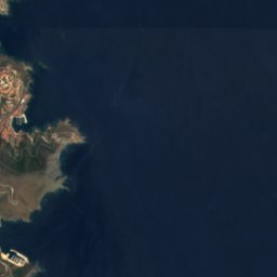
Illa de GatillepisIsland0.3 kmNEIlla de Gatillepis
Photo: Nostrix · CC BY-SA 3.0 · Wikimedia CommonsReport this photo · linked, not stored
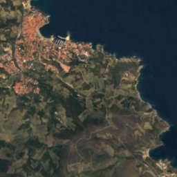
Platja de PortbouBeach0.9 kmNWPlatja de Portbou
Photo: Amadalvarez · CC BY-SA 3.0 · Wikimedia CommonsReport this photo · linked, not stored
Platja Petita de PortbouBeach1.0 kmNWPlatja Petita de Portbou
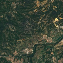
Satellite: Sentinel-2 cloudless 2016 by EOX IT Services GmbH · CC BY 4.0 · Contains modified Copernicus Sentinel data 2016
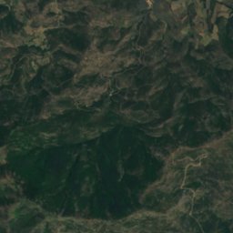
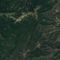
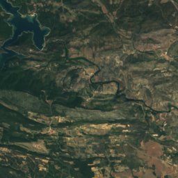
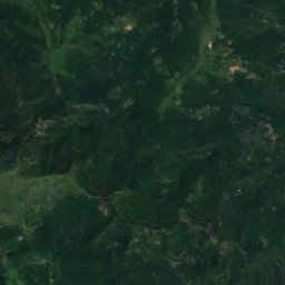
Cova del Bou MaríCave1.0 kmNCova del Bou Marí
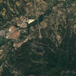
Satellite: Sentinel-2 cloudless 2016 by EOX IT Services GmbH · CC BY 4.0 · Contains modified Copernicus Sentinel data 2016
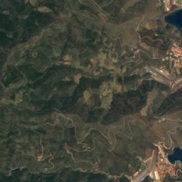
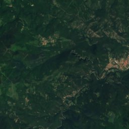
Tres PlatgetesBeach1.1 kmNWTres Platgetes
Photo: Nicolas Vigier · CC0 · Wikimedia CommonsReport this photo · linked, not stored
Del PiBeach1.1 kmNDel Pi
Summits nearbyMountains of Spain
Photo: Artico2 · CC BY-SA 3.0 · Wikimedia CommonsReport this photo · linked, not stored
Puig Neulós19 km W1,257 mJuly 25°Puig Neulós
Photo: Emporda profund · Public domain · Wikimedia CommonsReport this photo · linked, not stored
Puig de Pradets16 km W1,176 mJuly 26°Puig de Pradets
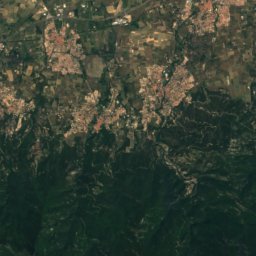
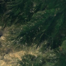
Satellite: Sentinel-2 cloudless 2016 by EOX IT Services GmbH · CC BY 4.0 · Contains modified Copernicus Sentinel data 2016

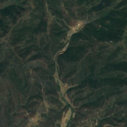
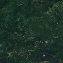
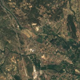
Roc dels Tres Termes20 km W1,129 mJuly 26°Roc dels Tres Termes
Satellite: Sentinel-2 cloudless 2016 by EOX IT Services GmbH · CC BY 4.0 · Contains modified Copernicus Sentinel data 2016
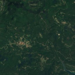
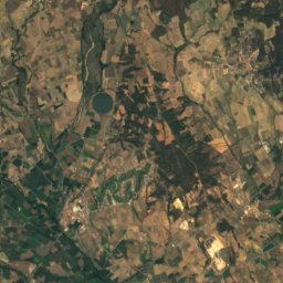
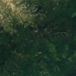
Puig de les Basses16 km W1,069 mJuly 26°Puig de les Basses
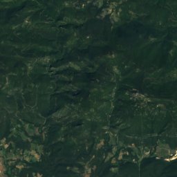
Satellite: Sentinel-2 cloudless 2016 by EOX IT Services GmbH · CC BY 4.0 · Contains modified Copernicus Sentinel data 2016
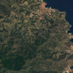
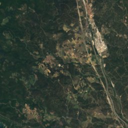
Puig d'Orella22 km W1,031 mJuly 26°Puig d'Orella
Photo: Bertrand GRONDIN → (Talk) · CC BY-SA 3.0 · Wikimedia CommonsReport this photo · linked, not stored
Puig de Sant Cristau24 km W1,015 mJuly 27°Puig de Sant Cristau
Stay nearby

Towns close by

Portbou
Photo: Jcb-caz-11 · CC BY-SA 4.0 · Wikimedia CommonsReport this photo · linked, not stored

Portbou

Catalonia · 1.0 km NW
21°Oct high
9wet days
78score
Portbou
Cerbère
Photo: Florian Pépellin · CC BY-SA 3.0 · Wikimedia CommonsReport this photo · linked, not stored

Cerbère

Occitanie · 2.2 km N
20°Oct high
9wet days
78score
Cerbère
Colera
Photo: David.gaya · CC BY-SA 2.5 · Wikimedia CommonsReport this photo · linked, not stored

Colera

Catalonia · 2.4 km SW
21°Oct high
9wet days
78score
Colera
Llançà
Photo: dl91m · Public domain · Wikimedia CommonsReport this photo · linked, not stored

Llançà

Catalonia · 6.7 km S
21°Oct high
9wet days
78score
Llançà
Around here

Portbou and around

Portbou
Photo: Jcb-caz-11 · CC BY-SA 4.0 · Wikimedia CommonsReport this photo · linked, not stored

Portbou

Catalonia · Spain
May–Jun · Sepbest months
28°July high
18 maltitude
Portbou

Nature

Pantà de Portbou
Photo: Gas Mountain Team · CC BY-SA 4.0 · Wikimedia CommonsReport this photo · linked, not stored
2.7 km W

Pantà de Portbou

Lake · 128 m
Pantà de Portbou
Baillaury
Photo: Yvan.pujol · CC BY-SA 4.0 · Wikimedia CommonsReport this photo · linked, not stored
6.5 km N

Baillaury

River
Baillaury
Cova del Conill, El Port de la Selva
Photo: Medusalabar · CC BY-SA 4.0 · Wikimedia CommonsReport this photo · linked, not stored
9.6 km SE

Cova del Conill, El Port de la Selva

Cave
Cova del Conill, El Port de la Selva

Mountains

Satellite: Sentinel-2 cloudless 2016 by EOX IT Services GmbH · CC BY 4.0 · Contains modified Copernicus Sentinel data 2016
25 km SW

Puig d'en Clos

1,995 m
Puig d'en Clos
Roc del Comptador
Photo: Bertrand GRONDIN → (Talk) · CC BY-SA 3.0 · Wikimedia CommonsReport this photo · linked, not stored
35 km W

Roc del Comptador

1,451 m · Pyrenees
Roc del Comptador
Satellite: Sentinel-2 cloudless 2016 by EOX IT Services GmbH · CC BY 4.0 · Contains modified Copernicus Sentinel data 2016
35 km W

Roc de l'Escofet

1,446 m
Roc de l'Escofet

Heritage

Hotel Belvédère du Rayon Vert
Photo: Bloovee at English Wikipedia · CC BY-SA 3.0 · Wikimedia CommonsReport this photo · linked, not stored
2.1 km N

Hotel Belvédère du Rayon Vert

Patrimoine du XXᵉ siècle · 1928
Hotel Belvédère du Rayon Vert
Santa Maria de Portbou
Photo: Carlos Pino Andújar · CC BY-SA 3.0 · Wikimedia CommonsReport this photo · linked, not stored
under 100 m SW

Santa Maria de Portbou

Cultural Asset of Local Interest
Santa Maria de Portbou
House in rambla Catalunya 13
Photo: Amadalvarez · CC BY-SA 4.0 · Wikimedia CommonsReport this photo · linked, not stored
under 100 m E

House in rambla Catalunya 13

Cultural Asset part of the cultural heritage of Catalonia · 1881
House in rambla Catalunya 13

Museums

Modern Art Museum of Collioure
Photo: Liriaf · CC BY-SA 3.0 · Wikimedia CommonsReport this photo · linked, not stored
12 km NW

Modern Art Museum of Collioure

1930
Modern Art Museum of Collioure
The Museum of Watercolor
Photo: Llumeureka · CC BY-SA 4.0 · Wikimedia CommonsReport this photo · linked, not stored
7.0 km S

The Museum of Watercolor

1989
The Museum of Watercolor
Satellite: Sentinel-2 cloudless 2016 by EOX IT Services GmbH · CC BY 4.0 · Contains modified Copernicus Sentinel data 2016
11 km N

Musée d’archéologie sous-marine

Musée d’archéologie sous-marine