
Photo: Lordcastle · CC BY-SA 4.0 · Wikimedia Commons
Chimiachas EReport this photo · linked, not stored
Chimiachas EReport this photo · linked, not stored

Photo: Hugo Soria · CC BY-SA 3.0 · Wikimedia Commons
Chimiachas LReport this photo · linked, not stored
Chimiachas LChimiachas LReport this photo · linked, not stored
CaveAlquézar, Aragon
Chimiachas E
CaveBest Apr · Sep–Oct
Elevation–above sea level
Inside13°Call year
Nearest townAlquézar3.9 km
42.21° N, 0.02° EUTC+1 · Central European Standard Time
When to goAlquézar · weather score
Best timeApr · Sep–Oct
October: high / low21° / 8°
Cave
Chimiachas E in brief
Chimiachas E is a cave in Alquézar, Aragon, Spain.
The nearest town is Alquézar, 3.9 km to the S, where the weather is best in April, September and October.
Inside, a cave stays close to the average yearly air temperature outside: about 13°C all year.
Weather nearby now
Forecast for Alquézar20°
Sunny now
Today
28 Oct
21°
12°
Thu
29 Oct
21°
10°
Fri
30 Oct
19°
10°
Sat
31 Oct
18°
10°
Sun
1 Nov
18°
8°
Model run 00:00 UTCRefreshed several times a day
When to go
Climate of AlquézarThe best months around Chimiachas E
Month score in Alquézar
Comfort, dry days and sunshine · out of 10030
Jan
46
Feb
62
Mar
67
Apr
67
May
63
Jun
54
Jul
54
Aug
73
Sep
74
Oct
50
Nov
33
Dec
Map
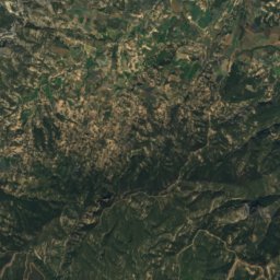
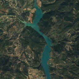
Chimiachas E from above
Nature nearbyAll of Spain

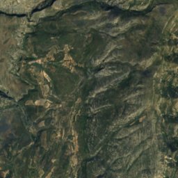
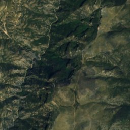
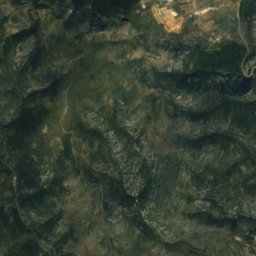
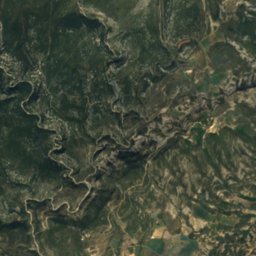
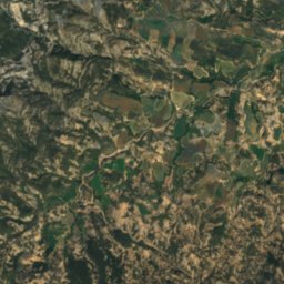
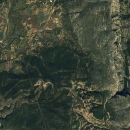
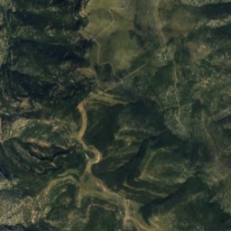
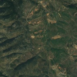
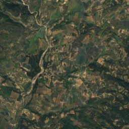
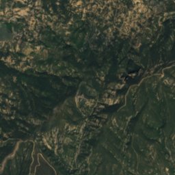
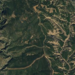
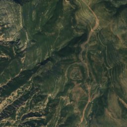
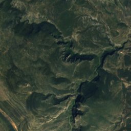
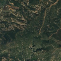
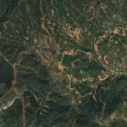
Satellite: Sentinel-2 cloudless 2016 by EOX IT Services GmbH · CC BY 4.0 · Contains modified Copernicus Sentinel data 2016
Satellite: Sentinel-2 cloudless 2016 by EOX IT Services GmbH · CC BY 4.0 · Contains modified Copernicus Sentinel data 2016
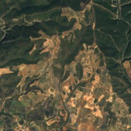
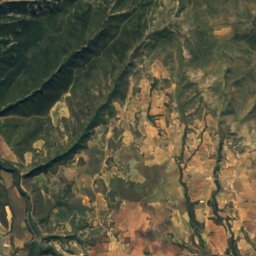
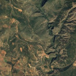
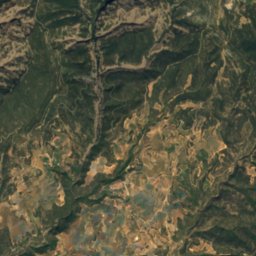
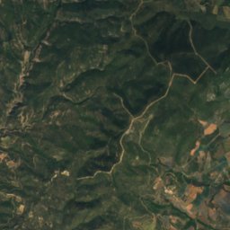
Satellite: Sentinel-2 cloudless 2016 by EOX IT Services GmbH · CC BY 4.0 · Contains modified Copernicus Sentinel data 2016
Satellite: Sentinel-2 cloudless 2016 by EOX IT Services GmbH · CC BY 4.0 · Contains modified Copernicus Sentinel data 2016
Satellite: Sentinel-2 cloudless 2016 by EOX IT Services GmbH · CC BY 4.0 · Contains modified Copernicus Sentinel data 2016
Summits nearbyMountains of Spain
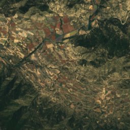
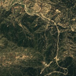
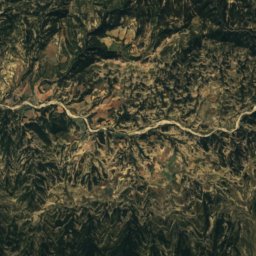
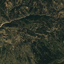
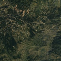
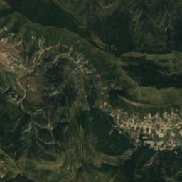
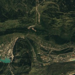
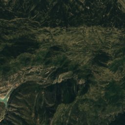
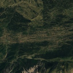
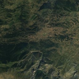
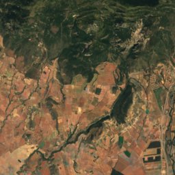
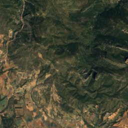
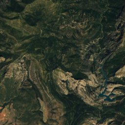
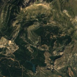
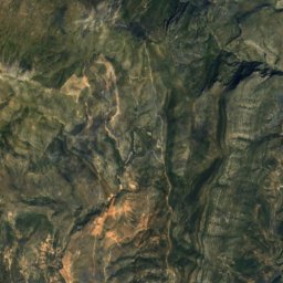
Satellite: Sentinel-2 cloudless 2016 by EOX IT Services GmbH · CC BY 4.0 · Contains modified Copernicus Sentinel data 2016
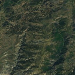
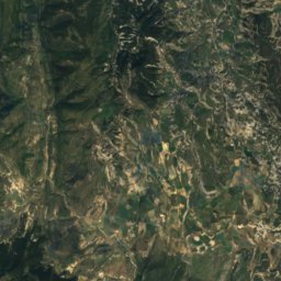
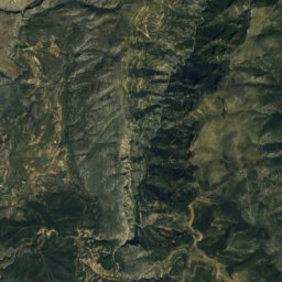
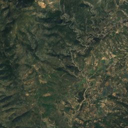
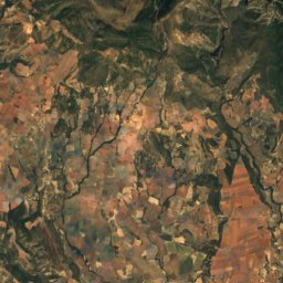
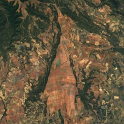
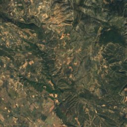
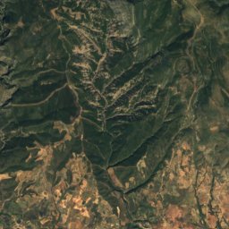
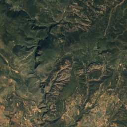
Satellite: Sentinel-2 cloudless 2016 by EOX IT Services GmbH · CC BY 4.0 · Contains modified Copernicus Sentinel data 2016


Around here
Alquézar and around
Nature
Satellite: Sentinel-2 cloudless 2016 by EOX IT Services GmbH · CC BY 4.0 · Contains modified Copernicus Sentinel data 2016
Mallata
Cave
Satellite: Sentinel-2 cloudless 2016 by EOX IT Services GmbH · CC BY 4.0 · Contains modified Copernicus Sentinel data 2016
Cueva de la fuente del Trucho
Cave
Mountains
Satellite: Sentinel-2 cloudless 2016 by EOX IT Services GmbH · CC BY 4.0 · Contains modified Copernicus Sentinel data 2016
Tozal de Guara
2,077 m · Sierra de Guara
Satellite: Sentinel-2 cloudless 2016 by EOX IT Services GmbH · CC BY 4.0 · Contains modified Copernicus Sentinel data 2016
Peña Falconera
766 m · Pre-Pyrenees
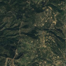
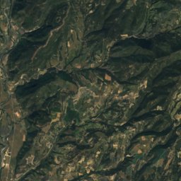
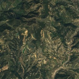
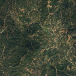
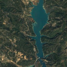
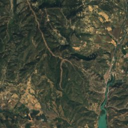
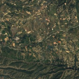
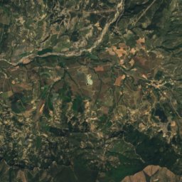
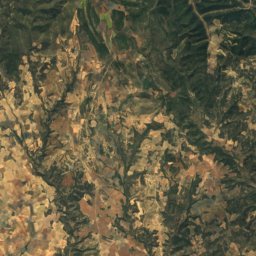
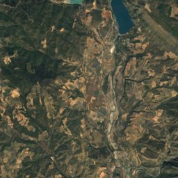
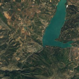
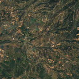
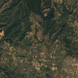
Satellite: Sentinel-2 cloudless 2016 by EOX IT Services GmbH · CC BY 4.0 · Contains modified Copernicus Sentinel data 2016
Peña del Morral
599 m
Heritage


Monasterio de Nuestra Señora de la Gloria
bien de interés cultural

Hermitage of Nuestra Señora de Treviño
bien de interés cultural