
Photo: Cataleirxs · CC BY-SA 3.0 · Wikimedia Commons
ChamadoiroReport this photo · linked, not stored
ChamadoiroReport this photo · linked, not stored

Photo: Cataleirxs · CC BY-SA 3.0 · Wikimedia Commons
Praia de ArealongaReport this photo · linked, not stored
Praia de ArealongaPraia de ArealongaReport this photo · linked, not stored

Photo: User:Atobar · Public domain · Wikimedia Commons
Serra da CapeladaReport this photo · linked, not stored
Serra da CapeladaSerra da CapeladaReport this photo · linked, not stored
BeachO Vicedo, Galicia
Chamadoiro
BeachBest Jul–Sep
Elevation–above sea level
Water qualityExcellentEU · 2025
Nearest townO Vicedo1.9 km
43.73° N, 7.70° WUTC+1 · Central European Standard Time
When to goO Vicedo · weather score
Best timeJul–Sep
October: high / low19° / 13°
Beach
Chamadoiro in brief
Chamadoiro is a beach in O Vicedo, Galicia, Spain.
The nearest town is O Vicedo, 1.9 km to the E, where the weather is best in July, August and September.
Bathing water quality (EU, 2025): excellent.
The sea is warmest in August, at about 20°C.
Weather nearby now
Forecast for O Vicedo17°
Partly cloudy now
Today
27 Oct
19°
15°
4 mm
Wed
28 Oct
19°
13°
Thu
29 Oct
19°
11°
Fri
30 Oct
18°
10°
Sat
31 Oct
17°
12°
Model run 00:00 UTCRefreshed several times a day
Sea and air through the year
Sea surface temperature off the coast and the average daily high in O Vicedo, month by month.Jan13°13°
Feb13°13°
Mar13°14°
Apr13°16°
May14°18°
Jun16°20°
Jul19°22°
Aug20°23°
Sep19°22°
Oct17°19°
Nov15°16°
Dec14°14°
seaair, daily high
When to go
Climate of O VicedoThe best months around Chamadoiro
Month score in O Vicedo
Comfort, dry days and sunshine · out of 10035
Jan
37
Feb
43
Mar
49
Apr
67
May
78
Jun
84
Jul
80
Aug
81
Sep
62
Oct
48
Nov
39
Dec
Map
Chamadoiro from above
Nature nearbyAll of Spain



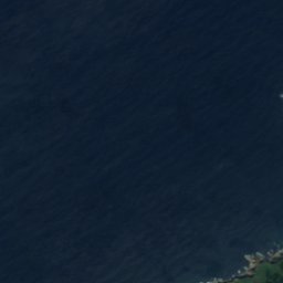
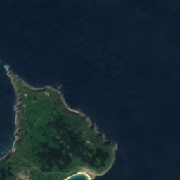


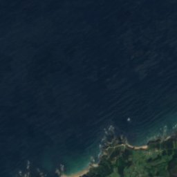
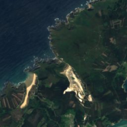
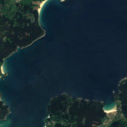
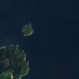
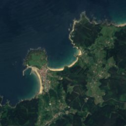
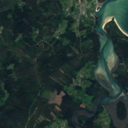
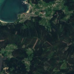
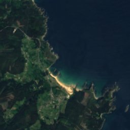
Satellite: Sentinel-2 cloudless 2016 by EOX IT Services GmbH · CC BY 4.0 · Contains modified Copernicus Sentinel data 2016
Satellite: Sentinel-2 cloudless 2016 by EOX IT Services GmbH · CC BY 4.0 · Contains modified Copernicus Sentinel data 2016
Satellite: Sentinel-2 cloudless 2016 by EOX IT Services GmbH · CC BY 4.0 · Contains modified Copernicus Sentinel data 2016
Satellite: Sentinel-2 cloudless 2016 by EOX IT Services GmbH · CC BY 4.0 · Contains modified Copernicus Sentinel data 2016
Summits nearbyMountains of Spain

Stay nearby
Towns close by


Around here
O Vicedo and around
Nature
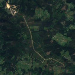
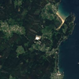
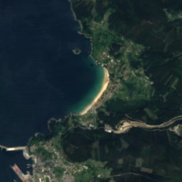
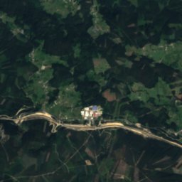
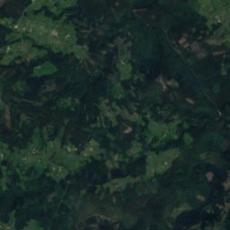
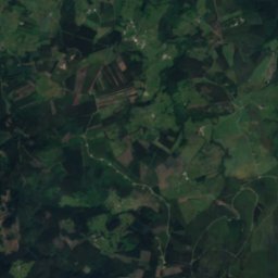
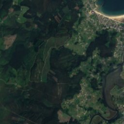
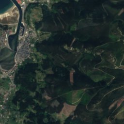
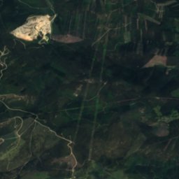
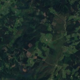
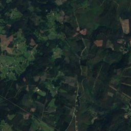
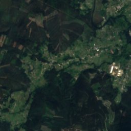
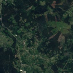
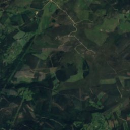
Satellite: Sentinel-2 cloudless 2016 by EOX IT Services GmbH · CC BY 4.0 · Contains modified Copernicus Sentinel data 2016
Landro River
River








Mountains
Heritage


Photo: Jose Luis Cernadas Iglesias from Coruña, España · CC BY 2.0 · Wikimedia CommonsReport this photo · linked, not stored
Church of San Pedro de Viveiro
bien de interés cultural

Convento da Nosa Señora de Valdeflores
bien de interés cultural
Museums




Satellite: Sentinel-2 cloudless 2016 by EOX IT Services GmbH · CC BY 4.0 · Contains modified Copernicus Sentinel data 2016
Colección Etnográfica e de Cerámica Regal - Xunqueira
Ethnographic museum