Skip to content
Destinations
Weather & climate
Nature
Outdoors
Culture
Events
Sky & live
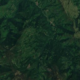
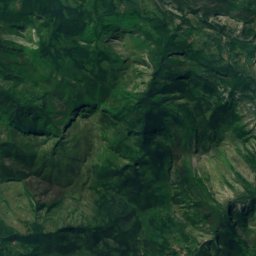
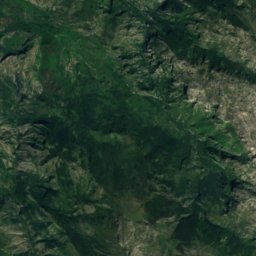
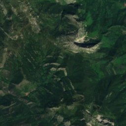
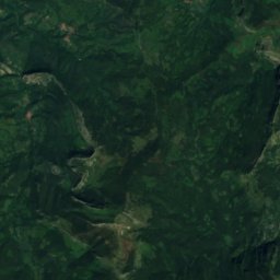
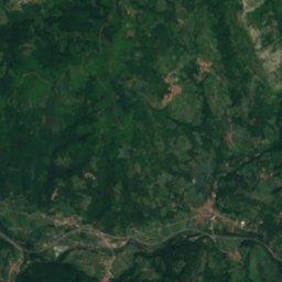
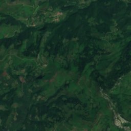
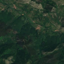
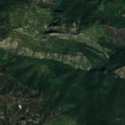
Satellite: Sentinel-2 cloudless 2016 by EOX IT Services GmbH · CC BY 4.0 · Contains modified Copernicus Sentinel data 2016
Tanes Reservoir
Photo: ALusitana · CC BY-SA 3.0 es · Wikimedia Commons
Tanes ReservoirReport this photo · linked, not stored
Tanes Reservoir
Rioseco Reservoir
Photo: Grandawiki · CC BY-SA 4.0 · Wikimedia Commons
Rioseco ReservoirReport this photo · linked, not stored
Rioseco Reservoir
Mongayu Waterfall
Photo: Elfodelbosque · CC BY-SA 4.0 · Wikimedia Commons
Mongayu WaterfallReport this photo · linked, not stored
Mongayu Waterfall
Les Praeres
Photo: Goldorak · CC BY-SA 4.0 · Wikimedia Commons
Les PraeresReport this photo · linked, not stored
Les Praeres
RiverLa Felguerina, Asturias

Caleao

RiverBest Jul–Sep
Elevation–above sea level
Length9.0 kmsource to mouth
Nearest townLa Felguerina1.9 km
43.16° N, 5.39° WUTC+1 · Central European Standard Time
When to goLa Felguerina · weather score
JanFebMarAprMayJunJulAugSepOctNovDec63October
Best timeJul–Sep
October: high / low18° / 7°
River

Caleao in brief

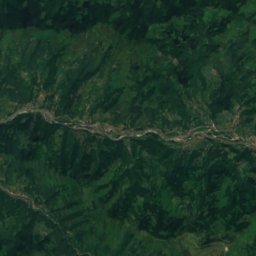
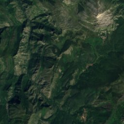
Caleao is a river in La Felguerina, Asturias, Spain.

The nearest town is La Felguerina, 1.9 km to the SE, where the weather is best in July, August and September.

Caleao is 9.0 km long.

La Felguerina: weather and travel guide

Weather nearby now

Forecast for La Felguerina
16°
Partly cloudy now
Wind6 km/h
Humidity73%
Cloud cover30%
Today
28 Oct
18°
8°
Thu
29 Oct
18°
7°
Fri
30 Oct
18°
9°
Sat
31 Oct
14°
8°
Sun
1 Nov
14°
6°

Model run 00:00 UTCRefreshed several times a day

When to go

The best months around Caleao

Climate of La Felguerina

Month score in La Felguerina

Comfort, dry days and sunshine · out of 100
19
Jan
21
Feb
33
Mar
46
Apr
65
May
72
Jun
76
Jul
74
Aug
75
Sep
63
Oct
28
Nov
18
Dec
Map

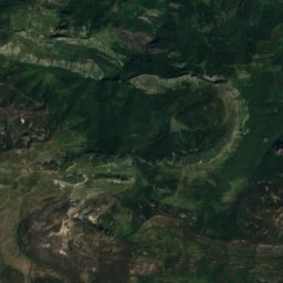
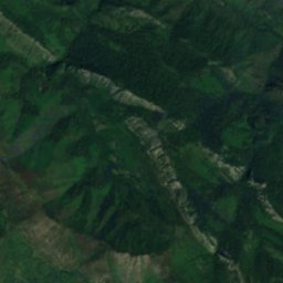
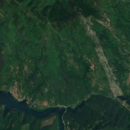
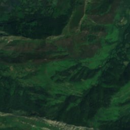
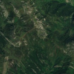
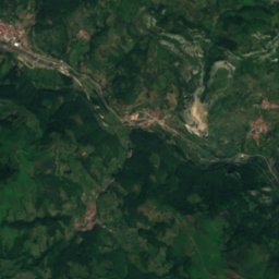
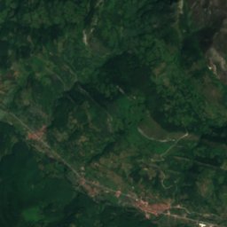
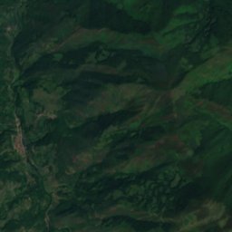
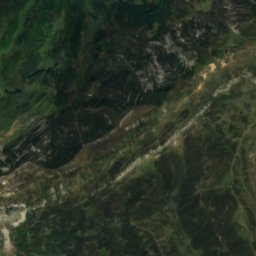
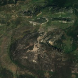
Caleao from above

Nature nearbyAll of Spain
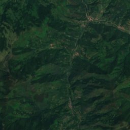
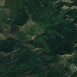
Satellite: Sentinel-2 cloudless 2016 by EOX IT Services GmbH · CC BY 4.0 · Contains modified Copernicus Sentinel data 2016
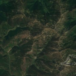
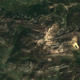
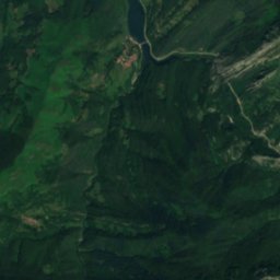
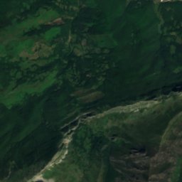
Deboyu CaveCave3.3 kmNEDeboyu Cave
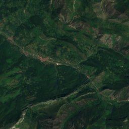
Satellite: Sentinel-2 cloudless 2016 by EOX IT Services GmbH · CC BY 4.0 · Contains modified Copernicus Sentinel data 2016
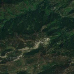
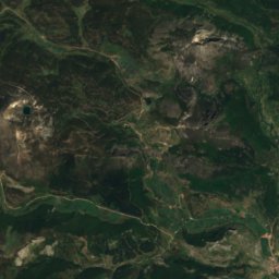
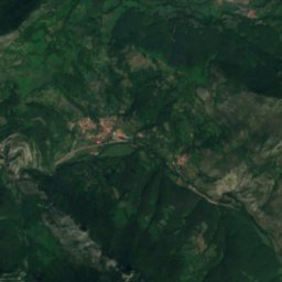
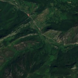
OrléRiver4.5 kmNOrlé
Photo: ALusitana · CC BY-SA 3.0 es · Wikimedia CommonsReport this photo · linked, not stored
Tanes ReservoirLake5.1 kmNTanes Reservoir
Satellite: Sentinel-2 cloudless 2016 by EOX IT Services GmbH · CC BY 4.0 · Contains modified Copernicus Sentinel data 2016
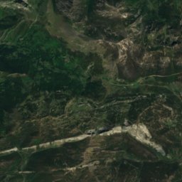
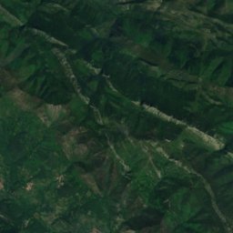
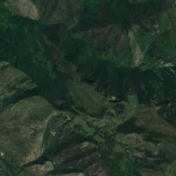
Ubales lakeLake7.3 kmSEUbales lake
Photo: Grandawiki · CC BY-SA 4.0 · Wikimedia CommonsReport this photo · linked, not stored
Rioseco ReservoirLake9.0 kmNWRioseco Reservoir
Photo: Elfodelbosque · CC BY-SA 4.0 · Wikimedia CommonsReport this photo · linked, not stored
Mongayu WaterfallWaterfall13 kmSEMongayu Waterfall
Summits nearbyMountains of Spain
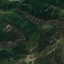
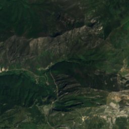
Satellite: Sentinel-2 cloudless 2016 by EOX IT Services GmbH · CC BY 4.0 · Contains modified Copernicus Sentinel data 2016
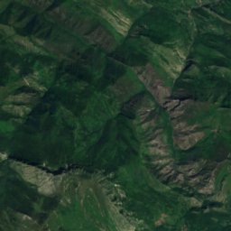
Pico Torres9.4 km S2,104 mJuly 16°Pico Torres
Satellite: Sentinel-2 cloudless 2016 by EOX IT Services GmbH · CC BY 4.0 · Contains modified Copernicus Sentinel data 2016
Tiatordos14 km E1,950 mJuly 18°Tiatordos
Photo: Goldorak · CC BY-SA 4.0 · Wikimedia CommonsReport this photo · linked, not stored
Les Praeres20 km NW892 mJuly 23°Les Praeres
Stay nearby

Towns close by

La Felguerina
Photo: Carmenmoran · CC BY 4.0 · Wikimedia CommonsReport this photo · linked, not stored

La Felguerina

Asturias · 1.9 km SE
18°Oct high
13wet days
63score
La Felguerina
Campo de Caso
Photo: Carmenmoran · CC BY 4.0 · Wikimedia CommonsReport this photo · linked, not stored

Campo de Caso

Asturias · 4.6 km NE
19°Oct high
13wet days
64score
Campo de Caso
Tañes
Photo: Carmenmoran · CC BY 4.0 · Wikimedia CommonsReport this photo · linked, not stored

Tañes

Asturias · 5.0 km N
20°Oct high
13wet days
64score
Tañes
Ladines
Photo: Carmenmoran · CC BY 4.0 · Wikimedia CommonsReport this photo · linked, not stored

Ladines

Asturias · 6.2 km NW
19°Oct high
13wet days
64score
Ladines
Around here

La Felguerina and around

La Felguerina
Photo: Carmenmoran · CC BY 4.0 · Wikimedia CommonsReport this photo · linked, not stored

La Felguerina

Asturias · Spain
Jul–Sepbest months
24°July high
810 maltitude
La Felguerina

Nature

Mongayu Waterfall
Photo: Elfodelbosque · CC BY-SA 4.0 · Wikimedia CommonsReport this photo · linked, not stored
11 km SE

Mongayu Waterfall

Waterfall
Mongayu Waterfall
Tanes Reservoir
Photo: ALusitana · CC BY-SA 3.0 es · Wikimedia CommonsReport this photo · linked, not stored
6.6 km N

Tanes Reservoir

Lake · 485 m
Tanes Reservoir
Rioseco Reservoir
Photo: Grandawiki · CC BY-SA 4.0 · Wikimedia CommonsReport this photo · linked, not stored
11 km NW

Rioseco Reservoir

Lake · 373 m
Rioseco Reservoir

Mountains

Torre Santa
Photo: Cactus26 · CC BY-SA 3.0 · Wikimedia CommonsReport this photo · linked, not stored
34 km E

Torre Santa

2,596 m · Picos de Europa
Torre Santa
Torre de Santa María
Photo: Davidphase · Public domain · Wikimedia CommonsReport this photo · linked, not stored
33 km E

Torre de Santa María

2,486 m · Picos de Europa
Torre de Santa María
Satellite: Sentinel-2 cloudless 2016 by EOX IT Services GmbH · CC BY 4.0 · Contains modified Copernicus Sentinel data 2016
8.6 km S

Pico Torres

2,104 m · Cantabrian Mountains
Pico Torres

Heritage

Iglesia de San Félix
Photo: SITOMON · CC BY-SA 4.0 · Wikimedia CommonsReport this photo · linked, not stored
13 km W

Iglesia de San Félix

bien de interés cultural · 1762
Iglesia de San Félix
mansion of Menendez (La Aldea)
Photo: Malopez 21 · CC BY-SA 4.0 · Wikimedia CommonsReport this photo · linked, not stored
14 km NW

mansion of Menendez (La Aldea)

bien de interés cultural · 1600
mansion of Menendez (La Aldea)
Iglesia de Santa María, Tañes
Photo: Dayures · CC BY-SA 4.0 · Wikimedia CommonsReport this photo · linked, not stored
6.6 km N

Iglesia de Santa María, Tañes

bien de interés cultural
Iglesia de Santa María, Tañes

Museums

Satellite: Sentinel-2 cloudless 2016 by EOX IT Services GmbH · CC BY 4.0 · Contains modified Copernicus Sentinel data 2016
4.4 km NE

Museo de la Madera de Caso

Ethnographic museum
Museo de la Madera de Caso
Satellite: Sentinel-2 cloudless 2016 by EOX IT Services GmbH · CC BY 4.0 · Contains modified Copernicus Sentinel data 2016
4.2 km NE

Interpretation Centre of the Redes Natural Park

Interpretation centre
Interpretation Centre of the Redes Natural Park
Satellite: Sentinel-2 cloudless 2016 by EOX IT Services GmbH · CC BY 4.0 · Contains modified Copernicus Sentinel data 2016
6.0 km N

Tanes Beekeeping Museum

Tanes Beekeeping Museum