

Photo: Oka96 · CC BY-SA 4.0 · Wikimedia Commons
Cortes-La Muela ReservoirReport this photo · linked, not stored
Cortes-La Muela ReservoirCortes-La Muela ReservoirReport this photo · linked, not stored

Photo: DnTrotaMundos ☮ · CC BY 3.0 · Wikimedia Commons
El Molinar ReservoirReport this photo · linked, not stored
El Molinar ReservoirEl Molinar ReservoirReport this photo · linked, not stored

Photo: Vicenç Salvador Torres Guerola · CC BY-SA 3.0 · Wikimedia Commons
Cuevas de la Araña en BicorpReport this photo · linked, not stored
Cuevas de la Araña en BicorpCuevas de la Araña en BicorpReport this photo · linked, not stored
RiverCofrentes, Valencia
Cabriel
RiverBest Mar–Apr · Nov
Elevation–above sea level
Length220 kmsource to mouth
Nearest townCofrentes0.5 km
39.23° N, 1.06° WUTC+1 · Central European Standard Time
When to goCofrentes · weather score
Best timeMar–Apr · Nov
October: high / low25° / 11°
River
Cabriel in brief
Cabriel is a river in Cofrentes, Valencia, Spain — tributary of Júcar River.
The nearest town is Cofrentes, 0.5 km to the SE, where the weather is best in March, April and November.
Cabriel is 220 km long.
Weather nearby now
Forecast for Cofrentes11°
Partly cloudy now
Today
27 Oct
29°
8°
Wed
28 Oct
24°
11°
Thu
29 Oct
28°
12°
Fri
30 Oct
26°
10°
Sat
31 Oct
22°
13°
3 mm
Model run 12:00 UTCRefreshed several times a day
The course of the river
As mapped in OpenStreetMap, with the towns along its banks.- 1El Vallecillo1,421 m
- 2Salvacañete1,179 m
- 3Alcalá de la Vega1,103 m
- 4Campillos-Paravientos1,091 m
- 5Boniches1,048 m
- 6Pajaroncillo975 m
- 7Enguídanos779 m
- 8Villatoya395 m
- 9Cofrentes373 m
sourcemouth (or where the mapped line leaves the country)
When to go
Climate of CofrentesThe best months around Cabriel
Month score in Cofrentes
Comfort, dry days and sunshine · out of 10068
Jan
77
Feb
86
Mar
83
Apr
80
May
64
Jun
55
Jul
52
Aug
64
Sep
83
Oct
84
Nov
68
Dec
Map
Cabriel from above
Nature nearbyAll of Spain
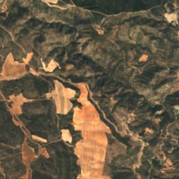
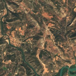
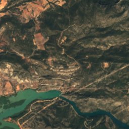
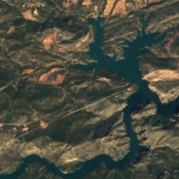
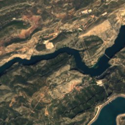
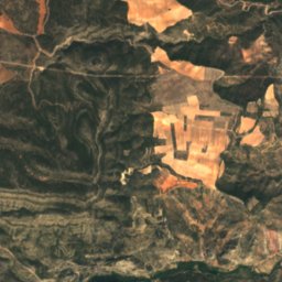
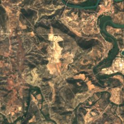
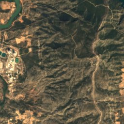
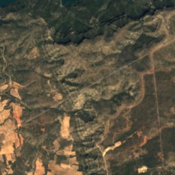
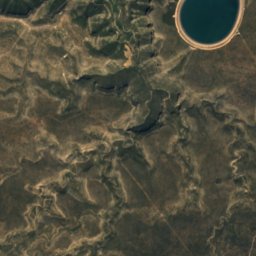
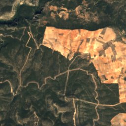
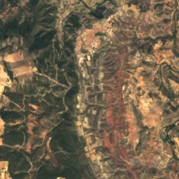
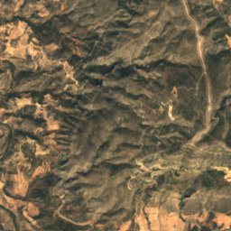
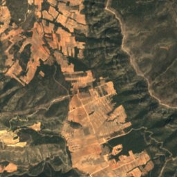
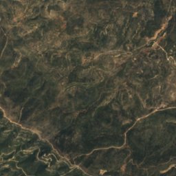
Satellite: Sentinel-2 cloudless 2016 by EOX IT Services GmbH · CC BY 4.0 · Contains modified Copernicus Sentinel data 2016

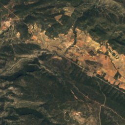
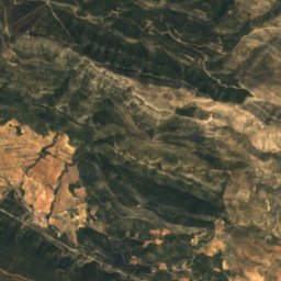
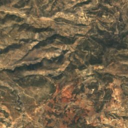
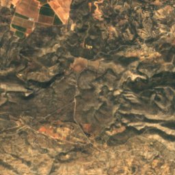
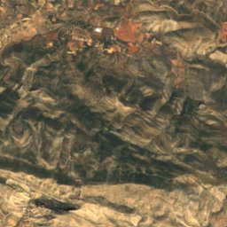
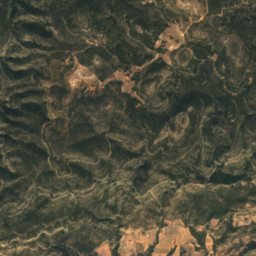
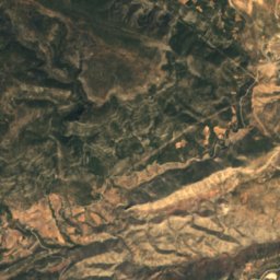
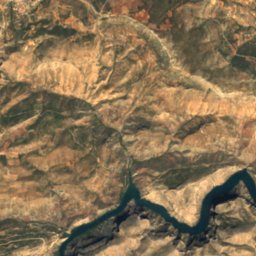
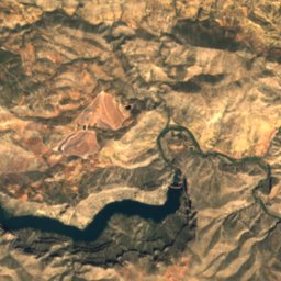
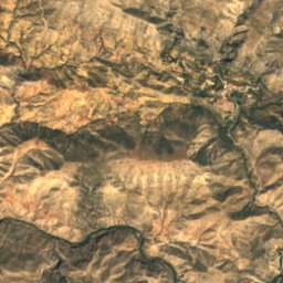
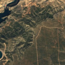
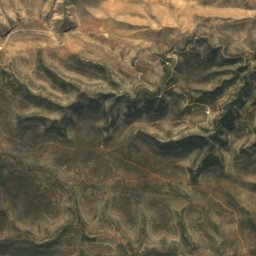
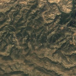
Satellite: Sentinel-2 cloudless 2016 by EOX IT Services GmbH · CC BY 4.0 · Contains modified Copernicus Sentinel data 2016

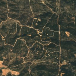
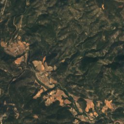
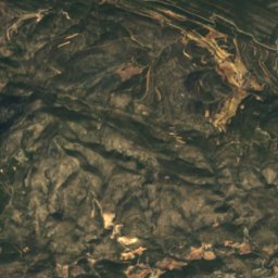
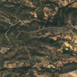
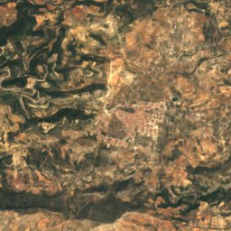
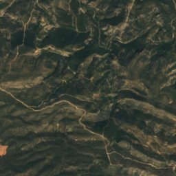
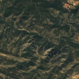
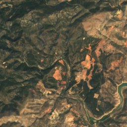
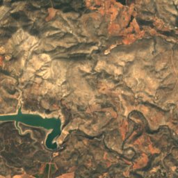
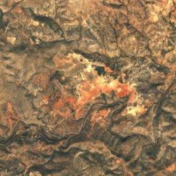
Satellite: Sentinel-2 cloudless 2016 by EOX IT Services GmbH · CC BY 4.0 · Contains modified Copernicus Sentinel data 2016
Photo: Vicenç Salvador Torres Guerola · CC BY-SA 3.0 · Wikimedia CommonsReport this photo · linked, not stored
Stay nearby
Towns close by


Photo: Eva Pérez, en Flickr · CC BY-SA 2.0 · Wikimedia CommonsReport this photo · linked, not stored
Jalance
Valencia · 3.7 km S
25°Oct high
7wet days
83score


Around here
Cofrentes and around
Nature
Satellite: Sentinel-2 cloudless 2016 by EOX IT Services GmbH · CC BY 4.0 · Contains modified Copernicus Sentinel data 2016
Peña de Los Machos
Cave
Photo: Vicenç Salvador Torres Guerola · CC BY-SA 3.0 · Wikimedia CommonsReport this photo · linked, not stored
Cuevas de la Araña en Bicorp
Cave
Mountains
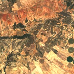
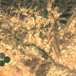
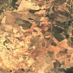
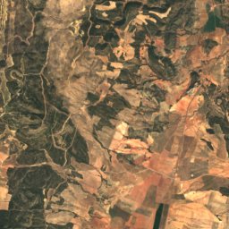
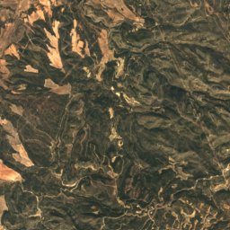
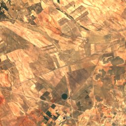
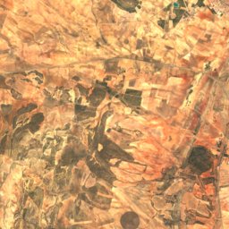
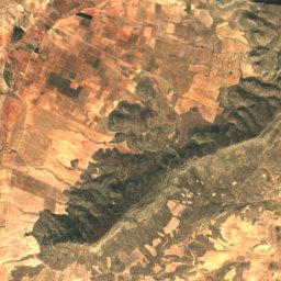
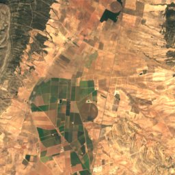
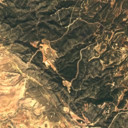
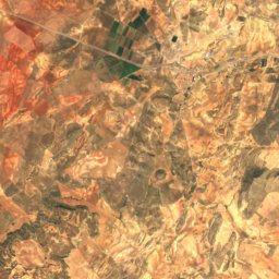
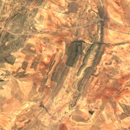
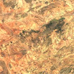
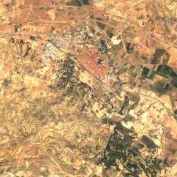
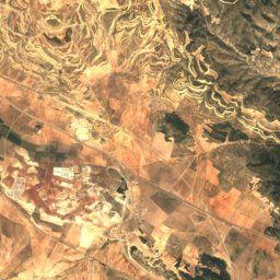
Satellite: Sentinel-2 cloudless 2016 by EOX IT Services GmbH · CC BY 4.0 · Contains modified Copernicus Sentinel data 2016
Sierra del Mugrón
1,209 m

Photo: Vicenç Salvador Torres Guerola · CC BY-SA 3.0 · Wikimedia CommonsReport this photo · linked, not stored
Matamon
506 m


