
Photo: Felix König. Original uploader was Felix König at de.wikipedia · CC BY-SA 3.0 · Wikimedia Commons
BembézarReport this photo · linked, not stored
BembézarReport this photo · linked, not stored

Photo: CFA1877 · CC BY-SA 4.0 · Wikimedia Commons
Conjunto Hidráulico HistóricoReport this photo · linked, not stored
Conjunto Hidráulico HistóricoConjunto Hidráulico HistóricoReport this photo · linked, not stored

Photo: Adrian Farwell · CC BY 3.0 · Wikimedia Commons
La Breña ReservoirReport this photo · linked, not stored
La Breña ReservoirLa Breña ReservoirReport this photo · linked, not stored
RiverPalma del Río, Andalusia
Bembézar
RiverBest Feb · Apr · Nov
Elevation–above sea level
Length126 kmsource to mouth
Nearest townPalma del Río8.2 km
37.75° N, 5.22° WUTC+1 · Central European Standard Time
When to goPalma del Río · weather score
Best timeFeb · Apr · Nov
October: high / low27° / 14°
River
Bembézar in brief
Bembézar is a river in Palma del Río, Andalusia, Spain.
The nearest town is Palma del Río, 8.2 km to the SW, where the weather is best in February, April and November.
Bembézar is 126 km long.
Weather nearby now
Forecast for Palma del Río13°
Clear now
Today
29 Oct
29°
12°
Fri
30 Oct
28°
12°
Sat
31 Oct
29°
12°
Sun
1 Nov
26°
12°
Mon
2 Nov
26°
10°
Model run 12:00 UTCRefreshed several times a day
The course of the river
As mapped in OpenStreetMap, with the towns along its banks.- 1Azuaga583 m
- 2Hornachuelos164 m
sourcemouth (or where the mapped line leaves the country)
Map
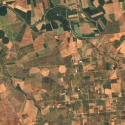
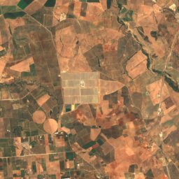
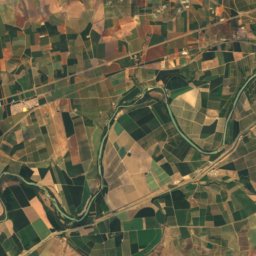
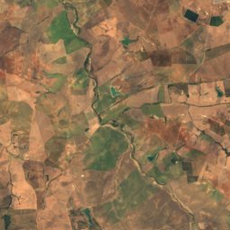
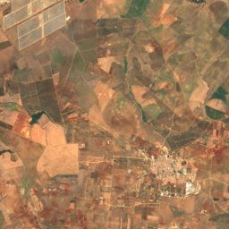
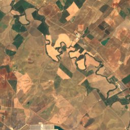
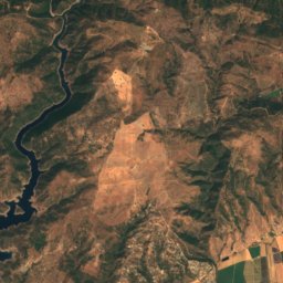
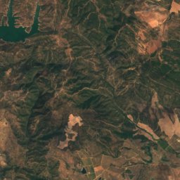
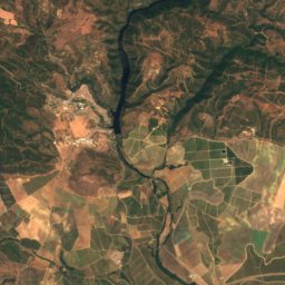
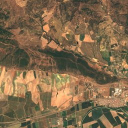
Bembézar from above
Nature nearbyAll of Spain

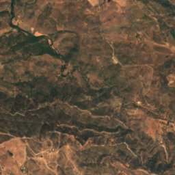
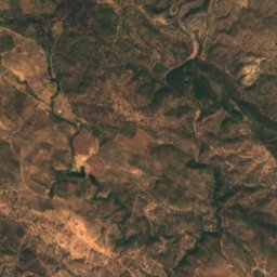
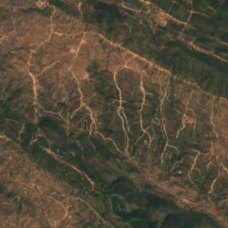
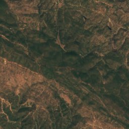
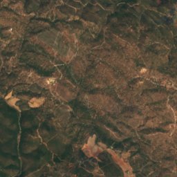
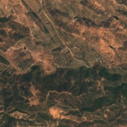
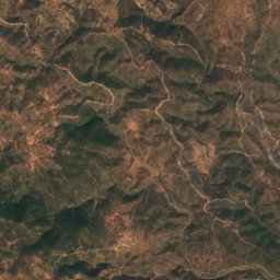
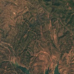
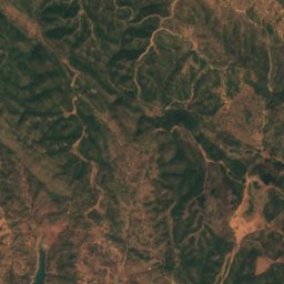
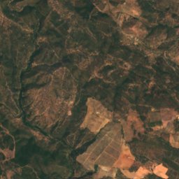
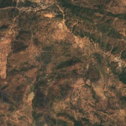
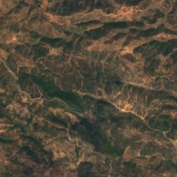
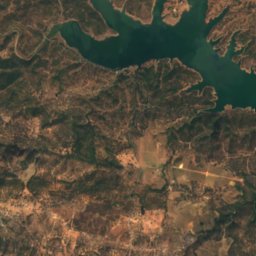
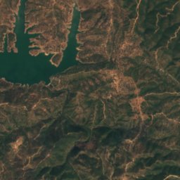
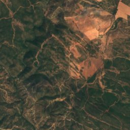
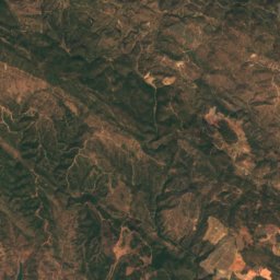
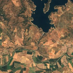
Satellite: Sentinel-2 cloudless 2016 by EOX IT Services GmbH · CC BY 4.0 · Contains modified Copernicus Sentinel data 2016
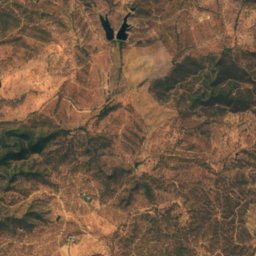
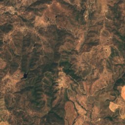
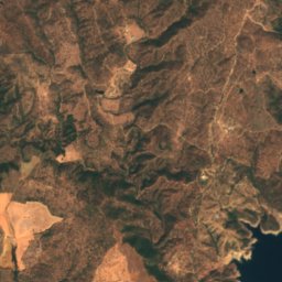
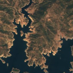
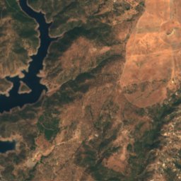
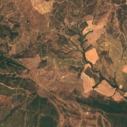
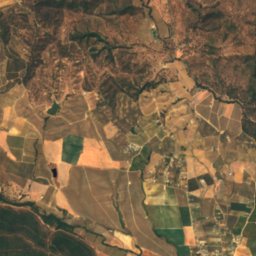
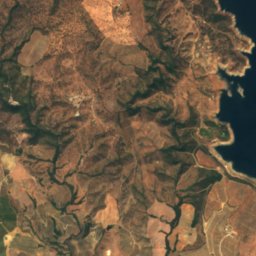
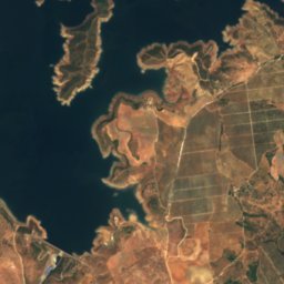
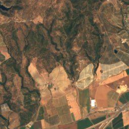
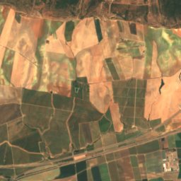
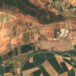
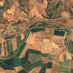
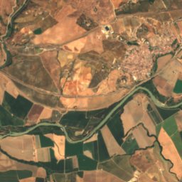
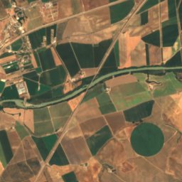
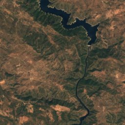
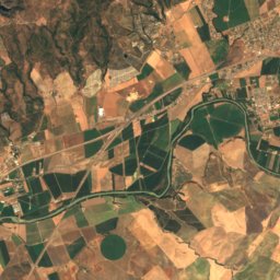
Satellite: Sentinel-2 cloudless 2016 by EOX IT Services GmbH · CC BY 4.0 · Contains modified Copernicus Sentinel data 2016

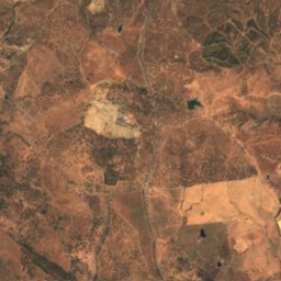
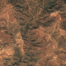
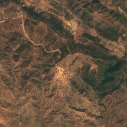
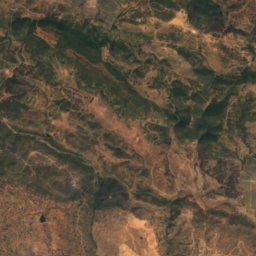
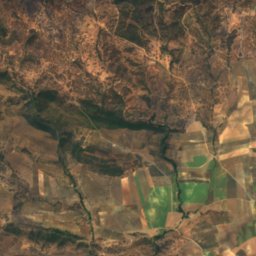
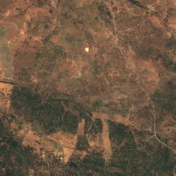
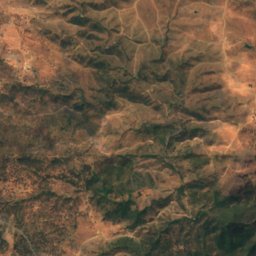
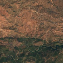
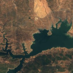
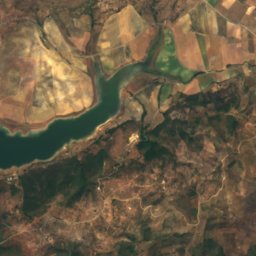
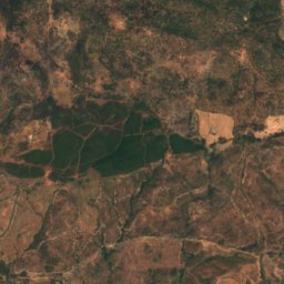
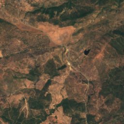
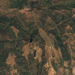
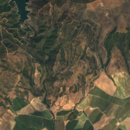
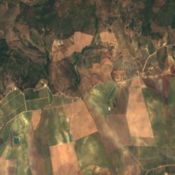
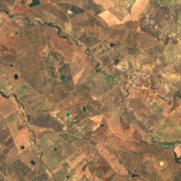
Satellite: Sentinel-2 cloudless 2016 by EOX IT Services GmbH · CC BY 4.0 · Contains modified Copernicus Sentinel data 2016
Stay nearby
Towns close by


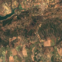
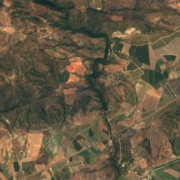
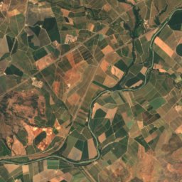
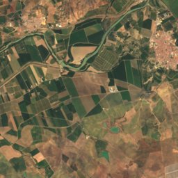
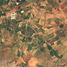
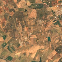
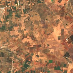
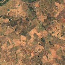
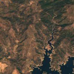
Satellite: Sentinel-2 cloudless 2016 by EOX IT Services GmbH · CC BY 4.0 · Contains modified Copernicus Sentinel data 2016
Fuente Carreteros
Andalusia · 11 km SE
26°Oct high
8wet days
76score
Around here
Palma del Río and around
Nature
Satellite: Sentinel-2 cloudless 2016 by EOX IT Services GmbH · CC BY 4.0 · Contains modified Copernicus Sentinel data 2016
Retortillo Reservoir
Lake · 178 m
Satellite: Sentinel-2 cloudless 2016 by EOX IT Services GmbH · CC BY 4.0 · Contains modified Copernicus Sentinel data 2016
Embalse José Torán
Lake · 136 m
Heritage


Museums


Satellite: Sentinel-2 cloudless 2016 by EOX IT Services GmbH · CC BY 4.0 · Contains modified Copernicus Sentinel data 2016


