

Photo: Axel Schlaefer · CC BY-SA 3.0 · Wikimedia Commons
Aulencia ReservoirReport this photo · linked, not stored
Aulencia ReservoirAulencia ReservoirReport this photo · linked, not stored

Photo: Esetena · CC BY 2.5 · Wikimedia Commons
Cerro Alarcón reservoirReport this photo · linked, not stored
Cerro Alarcón reservoirCerro Alarcón reservoirReport this photo · linked, not stored

Photo: Esetena · CC BY 2.5 · Wikimedia Commons
Valmayor ReservoirReport this photo · linked, not stored
Valmayor ReservoirValmayor ReservoirReport this photo · linked, not stored

Photo: VOX España · CC0 · Wikimedia Commons
Gabriel Enríquez de la Orden ReservoirReport this photo · linked, not stored
Gabriel Enríquez de la Orden ReservoirGabriel Enríquez de la Orden ReservoirReport this photo · linked, not stored
RiverVillanueva de la Cañada, Madrid
Aulencia
River606 m elevationBest May · Sep–Oct
Elevation606 mabove sea level
Length34 kmsource to mouth
Nearest townVillanueva de la Cañada4.5 km
40.44° N, 3.95° WElevation 606 mUTC+2 · Central European Summer Time
When to goVillanueva de la Cañada · weather score
Best timeMay · Sep–Oct
October: high / low21° / 11°
River
Aulencia in brief
Aulencia is a river in Villanueva de la Cañada, Madrid, Spain.
It lies at 606 m above sea level.
The nearest town in the atlas is Villanueva de la Cañada, 4.5 km to the W, where the weather is best in May, September and October.
Aulencia is 34 km long.
Weather nearby now
Forecast for Villanueva de la Cañada20°
Partly cloudy now
Today
22 Oct
20°
8°
Fri
23 Oct
22°
10°
Sat
24 Oct
20°
7°
Sun
25 Oct
24°
8°
Mon
26 Oct
25°
10°
Model run 00:00 UTCRefreshed several times a day
The course of the river
As mapped in OpenStreetMap, with the towns of the atlas along its banks.- 1El Escorial917 m
- 2Villanueva del Pardillo654 m
- 3Villanueva de la Cañada655 m
sourcemouth (or where the mapped line leaves the country)
Map
Aulencia from above
Nature nearbyAll of Spain


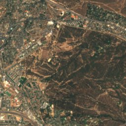
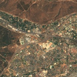
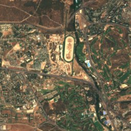
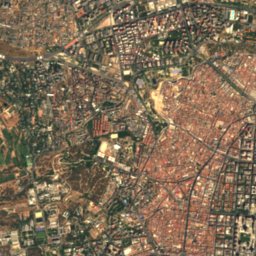
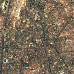
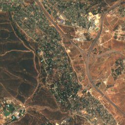
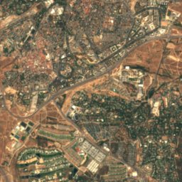
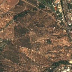
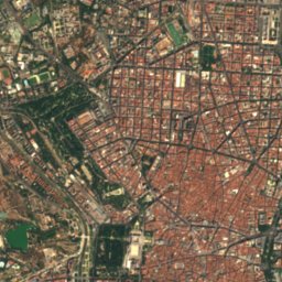
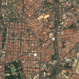
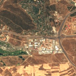
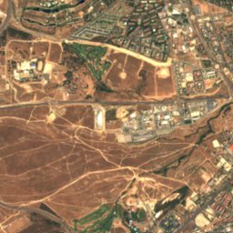
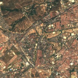
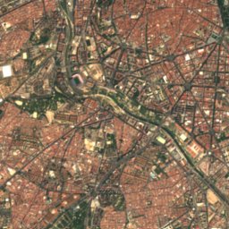
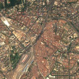
Satellite: Sentinel-2 cloudless 2016 by EOX IT Services GmbH · CC BY 4.0 · Contains modified Copernicus Sentinel data 2016

Summits nearbyMountains of Spain

Photo: Luis Ismael Ortega Ruiz · CC BY-SA 4.0 · Wikimedia CommonsReport this photo · linked, not stored

Stay nearby
Towns close by

Photo: Dirección General de Turismo. Consejería de Economía e Innovación Tecnológica. C · CC BY 3.0 es · Wikimedia CommonsReport this photo · linked, not stored
Brunete
Madrid · 5.3 km SW
22°Oct high
9wet days
78score

Photo: Ayuntamiento de Villanueva del Pardillo · CC BY-SA 4.0 · Wikimedia CommonsReport this photo · linked, not stored
Villanueva del Pardillo
Madrid · 5.9 km N
21°Oct high
9wet days
78score

Around here
Villanueva de la Cañada and around

Villanueva de la Cañada
Madrid · Spain
May · Sep–Octbest months
34°July high
655 maltitude
Nature
Mountains

Photo: Miguel303xm~commonswiki · CC BY-SA 2.5 · Wikimedia CommonsReport this photo · linked, not stored
Cabezas de Hierro
2,381 m · Sierra de Guadarrama


Heritage


Church of Our Lady of the Assumption, Valdemorillo
Bien de Interés Cultural (initiated)

Photo: Dirección General de Turismo. Consejería de Economía e Innovación Tecnológica. C · CC BY 3.0 es · Wikimedia CommonsReport this photo · linked, not stored
convent of las Madres Carmelitas
bien de interés cultural
Museums

Satellite: Sentinel-2 cloudless 2016 by EOX IT Services GmbH · CC BY 4.0 · Contains modified Copernicus Sentinel data 2016
Centro de interpretacion de la mujer en la guerra civil
Interpretation centre


Satellite: Sentinel-2 cloudless 2016 by EOX IT Services GmbH · CC BY 4.0 · Contains modified Copernicus Sentinel data 2016