
Photo: User:Gfcobas · CC BY-SA 3.0 · Wikimedia Commons
ArenteiroReport this photo · linked, not stored
ArenteiroReport this photo · linked, not stored

Photo: Luis Miguel Bugallo Sánchez (Lmbuga Commons)(Lmbuga Galipedia) Publicada por/Pub · CC BY-SA 3.0 · Wikimedia Commons
AviaReport this photo · linked, not stored
AviaAviaReport this photo · linked, not stored

Photo: http://gl.wikipedia.org/w/index.php?title=User:Lameiro · Public domain · Wikimedia Commons
Arnoia RiverReport this photo · linked, not stored
Arnoia RiverArnoia RiverReport this photo · linked, not stored

Photo: Nicole · CC BY-SA 4.0 · Wikimedia Commons
Velle ReservoirReport this photo · linked, not stored
Velle ReservoirVelle ReservoirReport this photo · linked, not stored
RiverBoborás, Galicia
Arenteiro
RiverBest Jun–Jul · Sep
Elevation–above sea level
Length33 kmsource to mouth
Nearest townBoborás4.1 km
42.40° N, 8.14° WUTC+1 · Central European Standard Time
When to goBoborás · weather score
Best timeJun–Jul · Sep
October: high / low20° / 9°
River
Arenteiro in brief
Arenteiro is a river in Boborás, Galicia, Spain.
The nearest town is Boborás, 4.1 km to the N, where the weather is best in June, July and September.
Arenteiro is 33 km long.
Weather nearby now
Forecast for Boborás14°
Cloudy now
Today
25 Oct
19°
11°
2 mm
Mon
26 Oct
23°
8°
Tue
27 Oct
16°
11°
3 mm
Wed
28 Oct
22°
10°
Thu
29 Oct
20°
10°
Model run 00:00 UTCRefreshed several times a day
When to go
Climate of BoborásThe best months around Arenteiro
Month score in Boborás
Comfort, dry days and sunshine · out of 10022
Jan
37
Feb
50
Mar
62
Apr
69
May
81
Jun
78
Jul
75
Aug
79
Sep
62
Oct
38
Nov
24
Dec
Map
Arenteiro from above
Nature nearbyAll of Spain
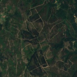
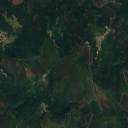
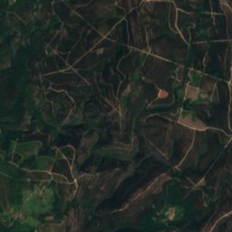
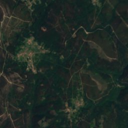
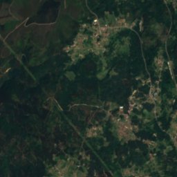
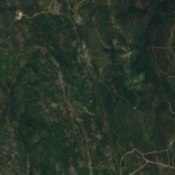
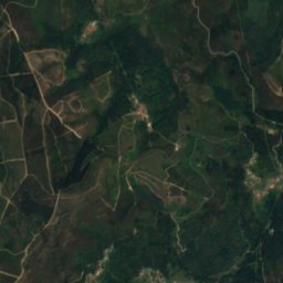
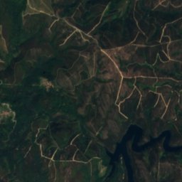
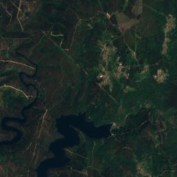
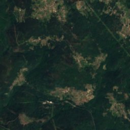
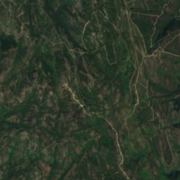
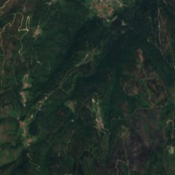
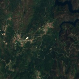
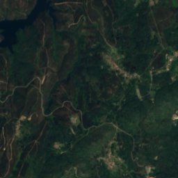
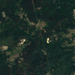
Satellite: Sentinel-2 cloudless 2016 by EOX IT Services GmbH · CC BY 4.0 · Contains modified Copernicus Sentinel data 2016

Photo: Luis Miguel Bugallo Sánchez (Lmbuga Commons)(Lmbuga Galipedia) Publicada por/Pub · CC BY-SA 3.0 · Wikimedia CommonsReport this photo · linked, not stored

Photo: http://gl.wikipedia.org/w/index.php?title=User:Lameiro · Public domain · Wikimedia CommonsReport this photo · linked, not stored

Stay nearby
Towns close by


Around here
Boborás and around
Nature
Photo: Luis Miguel Bugallo Sánchez (Lmbuga Commons)(Lmbuga Galipedia) Publicada por/Pub · CC BY-SA 3.0 · Wikimedia CommonsReport this photo · linked, not stored
Avia
River
Satellite: Sentinel-2 cloudless 2016 by EOX IT Services GmbH · CC BY 4.0 · Contains modified Copernicus Sentinel data 2016
Albarellos Reservoir
Lake · 243 m

Mountains


Photo: Iago Casabiell González · CC BY-SA 4.0 · Wikimedia CommonsReport this photo · linked, not stored
Monte Faro
1,181 m · Galician Dorsal

Heritage

Photo: Jose Antonio Gil Martínez. FREECAT from Vigo · CC BY 2.0 · Wikimedia CommonsReport this photo · linked, not stored
Church of San Xulián de Astureses
bien de interés cultural

Photo: Luis Miguel Bugallo Sánchez (Lmbuga) · CC BY-SA 4.0 · Wikimedia CommonsReport this photo · linked, not stored
Templo de Vera Cruz
bien de interés cultural · 1957

Museums

Photo: The original uploader was Lansbricae at Galician Wikipedia. · CC BY-SA 3.0 · Wikimedia CommonsReport this photo · linked, not stored
Parque Arqueolóxico da Cultura Castrexa
Archaeological park · 2014


Satellite: Sentinel-2 cloudless 2016 by EOX IT Services GmbH · CC BY 4.0 · Contains modified Copernicus Sentinel data 2016