Skip to content
Destinations
Weather & climate
Nature
Outdoors
Culture
Events
Sky & live
Aboño
Photo: Asturkian · CC BY-SA 3.0 · Wikimedia Commons
AboñoReport this photo · linked, not stored
Playas de Xivares, Peña María y Aboño
Photo: Adolfobrigido · CC BY-SA 4.0 · Wikimedia Commons
Playas de Xivares, Peña María y AboñoReport this photo · linked, not stored
Playas de Xivares, Peña María y Aboño
Monte Naranco
Photo: Vsuarezp · CC BY-SA 4.0 · Wikimedia Commons
Monte NarancoReport this photo · linked, not stored
Monte Naranco
Mount Areo
Photo: Guitarranalon · CC BY 3.0 · Wikimedia Commons
Mount AreoReport this photo · linked, not stored
Mount Areo
RiverFresno, Asturias

Aboño

RiverBest Jul–Sep
Elevation–above sea level
Length9.7 kmsource to mouth
Nearest townFresno1.1 km
43.53° N, 5.74° WUTC+2 · Central European Summer Time
When to goFresno · weather score
JanFebMarAprMayJunJulAugSepOctNovDec62October
Best timeJul–Sep
October: high / low20° / 12°
River

Aboño in brief

Aboño is a river in Fresno, Asturias, Spain.

The nearest town in the atlas is Fresno, 1.1 km to the S, where the weather is best in July, August and September.

Aboño is 9.7 km long.

Fresno: weather and travel guide

Weather nearby now

Forecast for Fresno
14°
Rain now
Wind13 km/h
Humidity68%
Cloud cover94%
Today
22 Oct
19°
7°
2 mm
Fri
23 Oct
18°
11°
2 mm
Sat
24 Oct
18°
6°
Sun
25 Oct
23°
11°
Mon
26 Oct
21°
10°

Model run 00:00 UTCRefreshed several times a day

The course of the river

As mapped in OpenStreetMap, with the towns of the atlas along its banks.
123456
  1. 1El Musel105 m
  2. 2Aboño6 m
  3. 3Albandi115 m
  4. 4Quimarán46 m
  5. 5Fresno21 m
  6. 6Cenero37 m
sourcemouth (or where the mapped line leaves the country)
When to go

The best months around Aboño

Climate of Fresno

Month score in Fresno

Comfort, dry days and sunshine · out of 100
39
Jan
42
Feb
49
Mar
54
Apr
68
May
75
Jun
82
Jul
77
Aug
78
Sep
62
Oct
53
Nov
43
Dec
Map

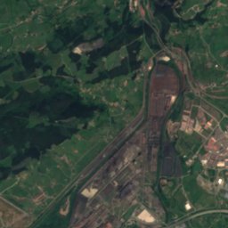
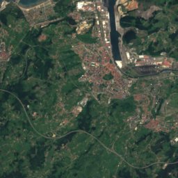
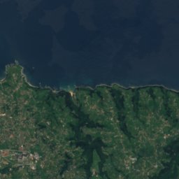
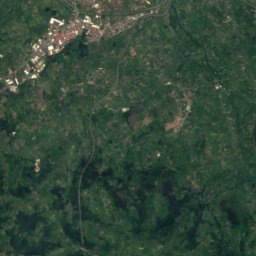
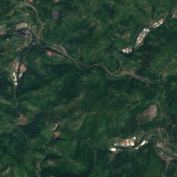
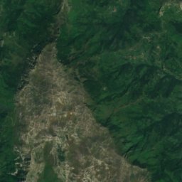
Aboño from above

Nature nearbyAll of Spain
Photo: Asturkian · CC BY-SA 3.0 · Wikimedia CommonsReport this photo · linked, not stored
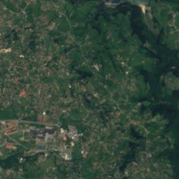
San Andrés de los Tacones reservoirLake3.0 kmSWSan Andrés de los Tacones reservoir
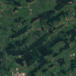
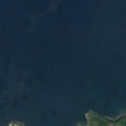
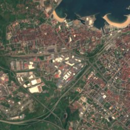
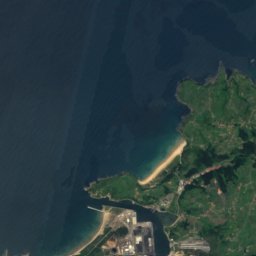
Satellite: Sentinel-2 cloudless 2016 by EOX IT Services GmbH · CC BY 4.0 · Contains modified Copernicus Sentinel data 2016
Playa del Arbeyal, GijónBeach3.8 kmNEPlaya del Arbeyal, Gijón
Photo: Adolfobrigido · CC BY-SA 4.0 · Wikimedia CommonsReport this photo · linked, not stored
Playas de Xivares, Peña María y AboñoBeach4.9 kmNPlayas de Xivares, Peña María y Aboño
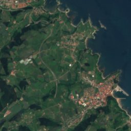
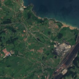
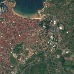
Satellite: Sentinel-2 cloudless 2016 by EOX IT Services GmbH · CC BY 4.0 · Contains modified Copernicus Sentinel data 2016
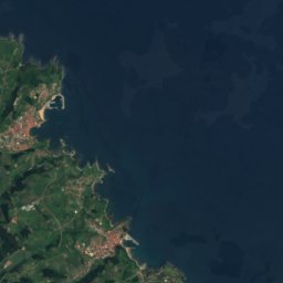
Playas de XivaresBeach5.0 kmNPlayas de Xivares
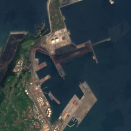
Satellite: Sentinel-2 cloudless 2016 by EOX IT Services GmbH · CC BY 4.0 · Contains modified Copernicus Sentinel data 2016
Playa de Poniente, GijónBeach5.2 kmEPlaya de Poniente, Gijón
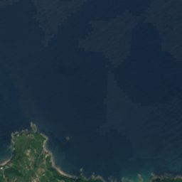
Satellite: Sentinel-2 cloudless 2016 by EOX IT Services GmbH · CC BY 4.0 · Contains modified Copernicus Sentinel data 2016
La FigarIsland5.5 kmNELa Figar
Summits nearbyMountains of Spain
Photo: Vsuarezp · CC BY-SA 4.0 · Wikimedia CommonsReport this photo · linked, not stored
Monte Naranco19 km SW634 mJuly 22°Monte Naranco
Photo: Guitarranalon · CC BY 3.0 · Wikimedia CommonsReport this photo · linked, not stored
Mount Areo4.3 km W265 mJuly 22°Mount Areo
Stay nearby

Towns close by

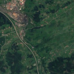
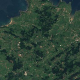
Satellite: Sentinel-2 cloudless 2016 by EOX IT Services GmbH · CC BY 4.0 · Contains modified Copernicus Sentinel data 2016

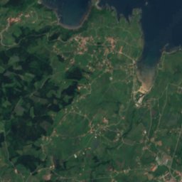
Fresno

Asturias · 1.1 km S
20°Oct high
14wet days
62score
Fresno
Quimarán
Photo: Mikel González. · CC BY-SA 2.5 es · Wikimedia CommonsReport this photo · linked, not stored

Quimarán

Asturias · 2.9 km NW
20°Oct high
14wet days
62score
Quimarán
Cenero
Photo: Asturkian · CC BY-SA 3.0 · Wikimedia CommonsReport this photo · linked, not stored

Cenero

Asturias · 3.0 km S
20°Oct high
14wet days
62score
Cenero
Aboño
Photo: Asturkian · CC BY-SA 3.0 · Wikimedia CommonsReport this photo · linked, not stored

Aboño

Asturias · 3.7 km N
20°Oct high
14wet days
62score
Aboño
Around here

Fresno and around

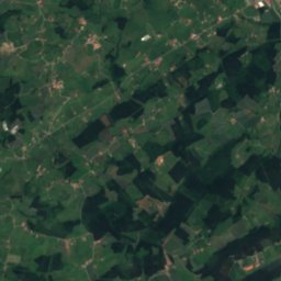
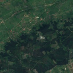
Satellite: Sentinel-2 cloudless 2016 by EOX IT Services GmbH · CC BY 4.0 · Contains modified Copernicus Sentinel data 2016
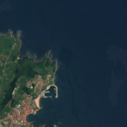
Fresno

Asturias · Spain
Jul–Sepbest months
23°July high
21 maltitude
Fresno

Nature

San Andrés de los Tacones reservoir
Photo: Asturkian · CC BY-SA 3.0 · Wikimedia CommonsReport this photo · linked, not stored
2.3 km SW

San Andrés de los Tacones reservoir

Lake · 31 m
San Andrés de los Tacones reservoir
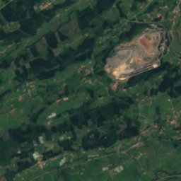
Satellite: Sentinel-2 cloudless 2016 by EOX IT Services GmbH · CC BY 4.0 · Contains modified Copernicus Sentinel data 2016

8.2 km E

Piles River

River
Piles River
Nora
Photo: Ralvarelugones · Public domain · Wikimedia CommonsReport this photo · linked, not stored
17 km SW

Nora

River
Nora

Mountains

El Gamoniteiru
Photo: Eduardo Diez Viñuela · CC BY-SA 3.0 · Wikimedia CommonsReport this photo · linked, not stored
40 km SW

El Gamoniteiru

1,786 m
El Gamoniteiru
Satellite: Sentinel-2 cloudless 2016 by EOX IT Services GmbH · CC BY 4.0 · Contains modified Copernicus Sentinel data 2016

37 km SW

Alto de L'Angliru

1,570 m · Cantabrian Mountains
Alto de L'Angliru
Monsacro
Photo: Elfo del bosque · CC BY-SA 4.0 · Wikimedia CommonsReport this photo · linked, not stored
31 km SW

Monsacro

1,054 m
Monsacro

Heritage

field of church of San Juan de Cenero
Photo: Xuliu Pombar · CC BY-SA 4.0 · Wikimedia CommonsReport this photo · linked, not stored
1.8 km S

field of church of San Juan de Cenero

bien de interés cultural
field of church of San Juan de Cenero
St John the Baptist's Church
Photo: manuel m. v. · CC BY 2.0 · Wikimedia CommonsReport this photo · linked, not stored
1.8 km S

St John the Baptist's Church

bien de interés cultural
St John the Baptist's Church
plaza de toros de El Bibio
Photo: jacinta lluch valero from madrid * barcelona...., (España-Spain) · CC BY-SA 2.0 · Wikimedia CommonsReport this photo · linked, not stored
7.4 km E

plaza de toros de El Bibio

bien de interés cultural · 1888
plaza de toros de El Bibio

Museums

International Bagpipe Museum
Photo: Denissf · CC BY-SA 3.0 · Wikimedia CommonsReport this photo · linked, not stored
8.4 km E

International Bagpipe Museum

1965
International Bagpipe Museum
Fernando Alonso Sports Complex
Photo: Morio · CC BY-SA 4.0 · Wikimedia CommonsReport this photo · linked, not stored
13 km SW

Fernando Alonso Sports Complex

Transport museum · 2011
Fernando Alonso Sports Complex
Juan Barjola Museum of Painting
Photo: Nwalme · CC BY-SA 3.0 es · Wikimedia CommonsReport this photo · linked, not stored
6.4 km NE

Juan Barjola Museum of Painting

Art museum · 1988
Juan Barjola Museum of Painting