
Photo: Vanbasten 23 · CC BY-SA 3.0 · Wikimedia Commons
A ConchaReport this photo · linked, not stored
A ConchaReport this photo · linked, not stored

Photo: Vanbasten 23 · CC BY-SA 3.0 · Wikimedia Commons
Illa MalveiraReport this photo · linked, not stored
Illa MalveiraIlla MalveiraReport this photo · linked, not stored

Photo: Céltigos · CC BY-SA 3.0 · Wikimedia Commons
Illa de San VicenteReport this photo · linked, not stored
Illa de San VicenteIlla de San VicenteReport this photo · linked, not stored

Photo: Céltigos · CC BY-SA 3.0 · Wikimedia Commons
Beach of MorouzosReport this photo · linked, not stored
Beach of MorouzosBeach of MorouzosReport this photo · linked, not stored

Photo: User:Atobar · Public domain · Wikimedia Commons
Serra da CapeladaReport this photo · linked, not stored
Serra da CapeladaSerra da CapeladaReport this photo · linked, not stored
BeachCariño, Galicia
A Concha
BeachBest Jul–Sep
Elevation–above sea level
Water qualityExcellentEU · 2025
Nearest townCariño0.3 km
43.74° N, 7.87° WUTC+1 · Central European Standard Time
When to goCariño · weather score
Best timeJul–Sep
October: high / low19° / 13°
Beach
A Concha in brief
A Concha is a beach in Cariño, Galicia, Spain.
The nearest town is Cariño, 0.3 km to the NE, where the weather is best in July, August and September.
Bathing water quality (EU, 2025): excellent.
The sea is warmest in August, at about 20°C.
Weather nearby now
Forecast for Cariño17°
Cloudy now
Today
31 Oct
18°
14°
1 mm
Sun
1 Nov
16°
13°
Mon
2 Nov
16°
13°
Tue
3 Nov
15°
12°
1 mm
Wed
4 Nov
14°
10°
3 mm
Model run 00:00 UTCRefreshed several times a day
Sea and air through the year
Sea surface temperature off the coast and the average daily high in Cariño, month by month.Jan13°13°
Feb13°13°
Mar13°14°
Apr13°15°
May14°17°
Jun16°19°
Jul19°21°
Aug20°22°
Sep19°21°
Oct17°19°
Nov15°15°
Dec14°14°
seaair, daily high
When to go
Climate of CariñoThe best months around A Concha
Month score in Cariño
Comfort, dry days and sunshine · out of 10034
Jan
36
Feb
41
Mar
49
Apr
66
May
78
Jun
85
Jul
81
Aug
82
Sep
62
Oct
47
Nov
39
Dec
Map
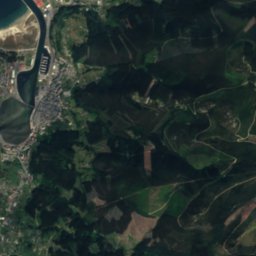
A Concha from above
Nature nearbyAll of Spain




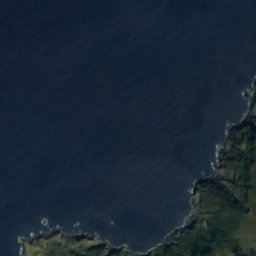
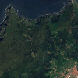
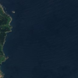
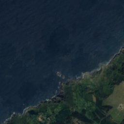
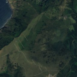
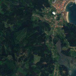
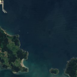
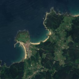
Satellite: Sentinel-2 cloudless 2016 by EOX IT Services GmbH · CC BY 4.0 · Contains modified Copernicus Sentinel data 2016

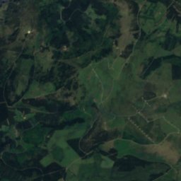
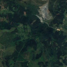
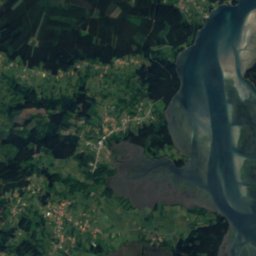
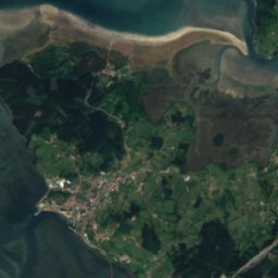
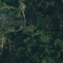
Satellite: Sentinel-2 cloudless 2016 by EOX IT Services GmbH · CC BY 4.0 · Contains modified Copernicus Sentinel data 2016
Satellite: Sentinel-2 cloudless 2016 by EOX IT Services GmbH · CC BY 4.0 · Contains modified Copernicus Sentinel data 2016


Summits nearbyMountains of Spain

Stay nearby
Towns close by


Photo: Jorge Castro Ruso from A Coruña, España · CC BY 2.0 · Wikimedia CommonsReport this photo · linked, not stored
Ortigueira
Galicia · 6.4 km S
19°Oct high
15wet days
62score

Around here
Cariño and around
Nature

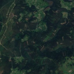
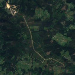
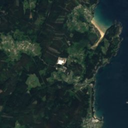
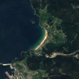
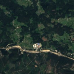
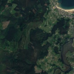
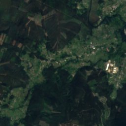
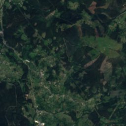
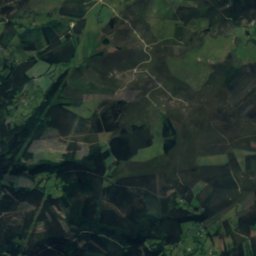


Satellite: Sentinel-2 cloudless 2016 by EOX IT Services GmbH · CC BY 4.0 · Contains modified Copernicus Sentinel data 2016
Landro River
River