Nature
Waters, ice and wild places of Solomon Islands
Lakes, waterfalls, glaciers, national parks and mountain huts, each with its location, its size and the weather of the towns around it.
Lakes2with a page
Waterfalls1with a page
National parks1with a page
Islands179with a page

Lakes
Lakes of Solomon Islands
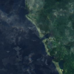
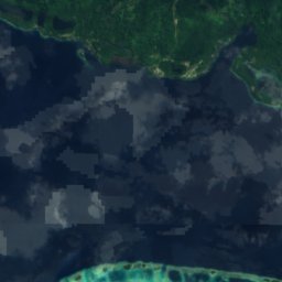
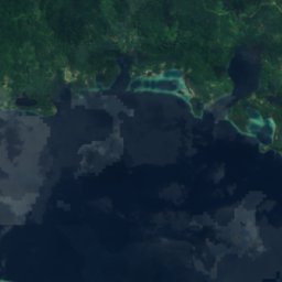
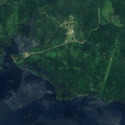
Satellite: Sentinel-2 cloudless 2016 by EOX IT Services GmbH · CC BY 4.0 · Contains modified Copernicus Sentinel data 2016
Ghughumbo Lake
Noro, Western Province
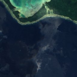
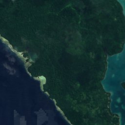
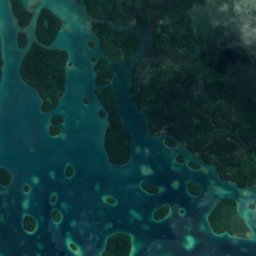
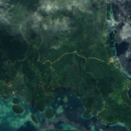

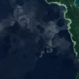
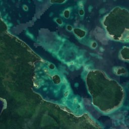
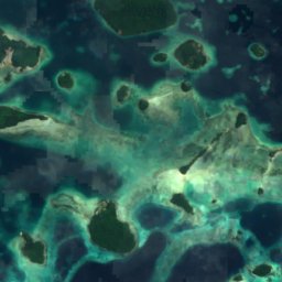

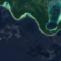
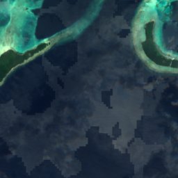
Satellite: Sentinel-2 cloudless 2016 by EOX IT Services GmbH · CC BY 4.0 · Contains modified Copernicus Sentinel data 2016
Lake Kolomateana
Noro, Western Province
Waterfalls
Waterfalls of Solomon Islands
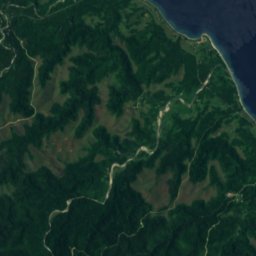
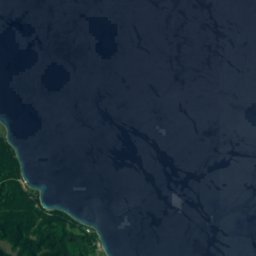



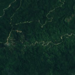
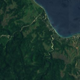
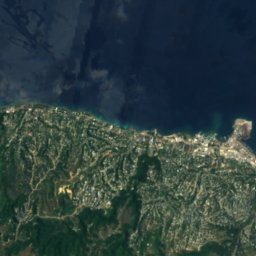
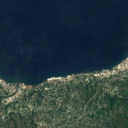
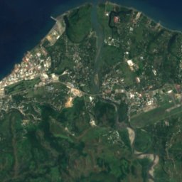
Satellite: Sentinel-2 cloudless 2016 by EOX IT Services GmbH · CC BY 4.0 · Contains modified Copernicus Sentinel data 2016
Mataniko Falls
Honiara, Honiara
National parks
National parks of Solomon Islands
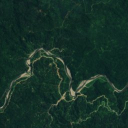
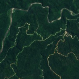
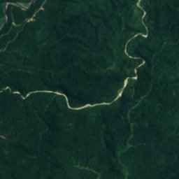
Satellite: Sentinel-2 cloudless 2016 by EOX IT Services GmbH · CC BY 4.0 · Contains modified Copernicus Sentinel data 2016
Queen Elizabeth National Park
Honiara, Honiara
Islands
Islands of Solomon Islands

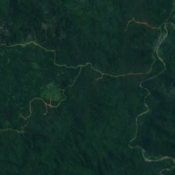
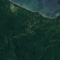
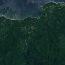
Satellite: Sentinel-2 cloudless 2016 by EOX IT Services GmbH · CC BY 4.0 · Contains modified Copernicus Sentinel data 2016
Makira
Kirakira, Makira-Ulawa Province
1,250 m
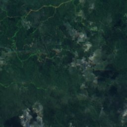
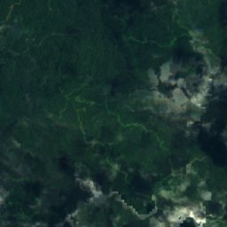
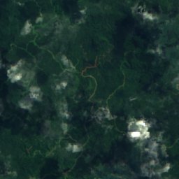
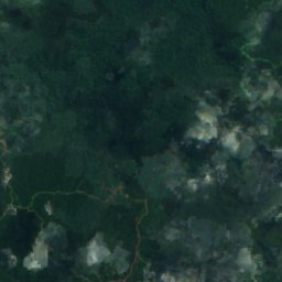
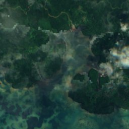
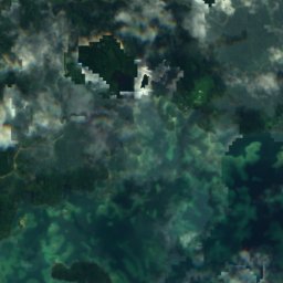
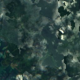
Satellite: Sentinel-2 cloudless 2016 by EOX IT Services GmbH · CC BY 4.0 · Contains modified Copernicus Sentinel data 2016
New Georgia
Munda, Western Province
860 m
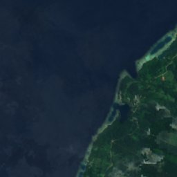
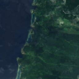
Satellite: Sentinel-2 cloudless 2016 by EOX IT Services GmbH · CC BY 4.0 · Contains modified Copernicus Sentinel data 2016
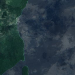
Kolombangara
Gizo, Western Province
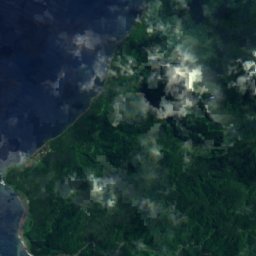
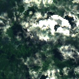
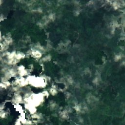
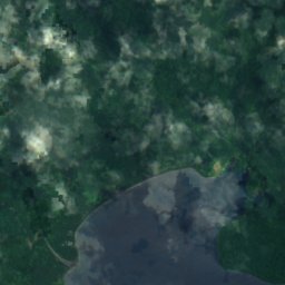
Satellite: Sentinel-2 cloudless 2016 by EOX IT Services GmbH · CC BY 4.0 · Contains modified Copernicus Sentinel data 2016
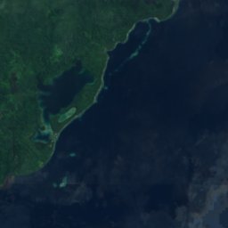
Rendova Island
Munda, Western Province
1,060 m
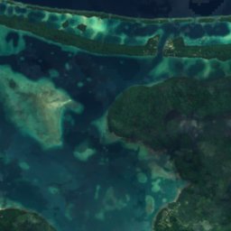
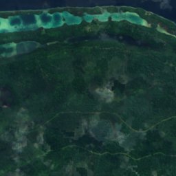
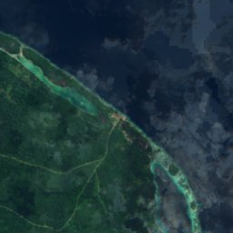
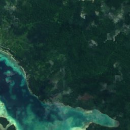
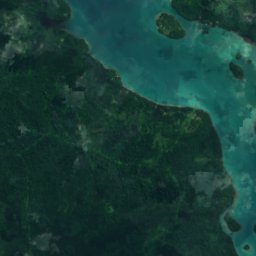
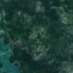
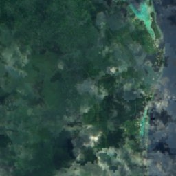
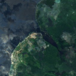
Satellite: Sentinel-2 cloudless 2016 by EOX IT Services GmbH · CC BY 4.0 · Contains modified Copernicus Sentinel data 2016
Arundel Island
Noro, Western Province



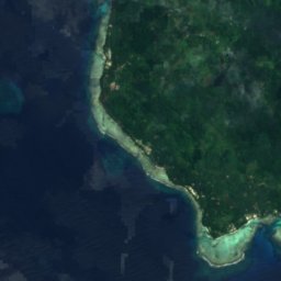
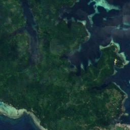
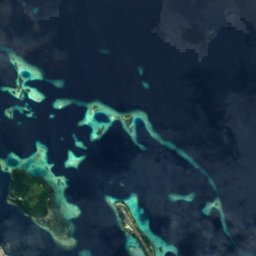
Satellite: Sentinel-2 cloudless 2016 by EOX IT Services GmbH · CC BY 4.0 · Contains modified Copernicus Sentinel data 2016
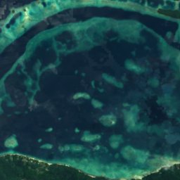
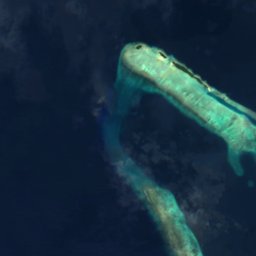
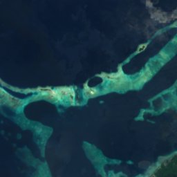
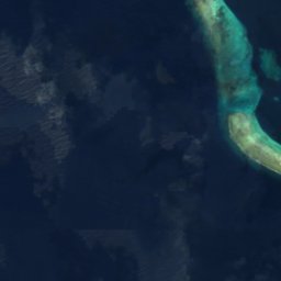
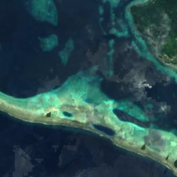
Ghizo Island
Gizo, Western Province
All 179 islands
- Abuabua Island
- Aghana Island
- Alite Island
- Alite Reef
- Anuha Island
- Arundel Island
- Augu Reef
- Aula Island
- Aulaga Island
- Ba'ali Island
- Bethlehem Island
- Bina Island
- Buena Vista
- Eeles Patches
- Elo Saghana
- Elonggava Hite
- Elonggava Nomana
- Falu Reef
- Falu'o'olo Reef
- Fera Island
- Fote Reef
- Gavutu
- Ghavutu Island
- Gheliana
- Ghizo Island
- Haipe Reef
- Hapahapu Reef
- Himbi
- Hombu
- Hombuhombu Island
- Hombupeka Island
- Honiavasa Island
- Hopei Island
- Ighisi
- Indumamu Reef
- Jones Reef
- Juakau
- Kakarumu
- Kakia Island
- Kalala Nomana
- Kambokinanggu
- Kambomola
- Kambotinoni
- Karupenete Island
- Kasakina Reef
- Kauvi Island
- Kennedy Island
- Kevana Island
- Kiaba Island
- Kiamba Island
- Kiambe
- Kodobrahuna Reef
- Kokodo Reef
- Kokohale Island
- Kolo Hite Island
- Kolokoleo Reef
- Kololuka Island
- Kolombangara
- Kovuhika Island
- Kundu Hite Island
- Kwai Island
- Kwaro Island
- Langa Langa Lagoon
- Langarana Island
- Langiale Island
- Laulasi Island
- Lavata Island
- Liapari
- Logha
- Lokuloku Reef
- Lola Island
- Lumbararo Island
- Lumbari Island
- Luvososole Reef
- Mahawk Bank
- Makira
- Malaulalo
- Malaupaina
- Malazeke Island
- Mandoleana Island
- Mangalau Island
- Mangalonga Island
- Marakumbo Island
- Mathews Reef
- Matti Shoals
- Mbagholae Island
- Mbalusu Island
- Mbambanga Island
- Mbanga Island
- Mbangai Island
- Mbarambuni Island
- Mbarikihi Island
- Mbatusimbo Island
- Mbembea Island
- Mbeta Island
- Mbimbilusi Island
- Mbirimbiri Island
- Mbokonumbeta Island
- Mboku
- Mbungana Island
- Mburumburu Island
- Mid Reef
- Mokupiala Island
- Mole Island, Western Province
- Mumufu Reef
- Munda Bar
- Mundahite Island
- Naghotano Island
- Nahoniara Reef
- Naru Island
- Ndokendoke Island
- Ndoma Reef
- Ndora Island
- Ndughiri Island
- Ndume Island
- Ndurumena Island
- New Georgia
- Ngaliai Island
- Nggela Pile Island
- Nggela Sule Island
- Nggulasa Island
- Ngongosila Island
- Njari Island
- Nughu
- Nununggara Island
- Nusa Gharata Island
- Nusa Hilele
- Nusa Kalala Hite
- Nusa Lavata
- Nusa Lokete
- Nusaghele Island
- Nusambekolo Island
- Nusatupe
- Olasana Island
- Pakepake Island
- Pao Island
- Popondaka Reef
- Rabuta Reef
- Raele Reef
- Rendova Island
- Repi Island
- Rereghana Island
- Roviana Island
- Sagharutani Reef
- Sasabaro Reef
- Sasavele Island
- Savanga Island
- Sene Reefs
- Sepo Kokiti Island
- Sesusaba Reef
- Soghonara Island
- Sogna Reef
- Songonangona Island
- Southern Cross Reef
- Sulei Island
- Suluvanga Island
- Sylvia Reef
- Tafa Reef
- Talaiwalo Reef
- Tanambogo
- Tapoi Island
- Tasia Island
- Tataparaka Island
- Tava Island
- Tavana Island
- Titus Shoal
- Tombatuni Island
- Tulagi
- Valuvalu Island
- Varu Island
- Vasavasara Island
- Vatua Island
- Vatukovuru Reef
- Vatumbughoromate Reef
- Vonavona
- Walo’ako’ako Reef
- Woodford Reef
- Zazaghana Island
- Zizirae Island
Rivers
Rivers of Solomon Islands

Photo: Unknown authorUnknown author · Public domain · Wikimedia CommonsReport this photo · linked, not stored
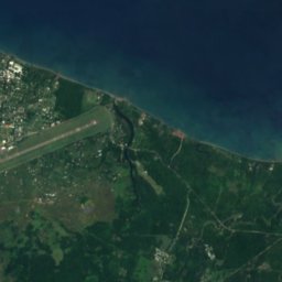
Matanikau River
Honiara, Honiara


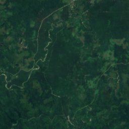
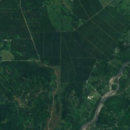
Satellite: Sentinel-2 cloudless 2016 by EOX IT Services GmbH · CC BY 4.0 · Contains modified Copernicus Sentinel data 2016
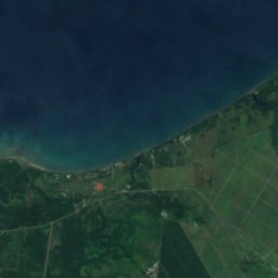
Lunga River
Honiara, Honiara
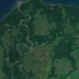
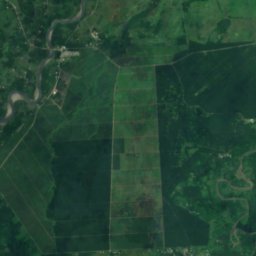


Satellite: Sentinel-2 cloudless 2016 by EOX IT Services GmbH · CC BY 4.0 · Contains modified Copernicus Sentinel data 2016
Tenaru River
Honiara, Honiara