
Photo: Marija Makarovič · Public domain · Wikimedia Commons
ObrhReport this photo · linked, not stored
ObrhReport this photo · linked, not stored

Photo: Pavla Štrukelj · Public domain · Wikimedia Commons
GolobinaReport this photo · linked, not stored
GolobinaGolobinaReport this photo · linked, not stored

Photo: Borut Furlan · CC BY-SA 4.0 · Wikimedia Commons
Suhadolca CaveReport this photo · linked, not stored
Suhadolca CaveSuhadolca CaveReport this photo · linked, not stored

Photo: Gaber at Slovenian Wikipedia · CC BY-SA 3.0 · Wikimedia Commons
Dom na SlivniciReport this photo · linked, not stored
Dom na SlivniciDom na SlivniciReport this photo · linked, not stored
 Rak
RiverGorenje Jezero, Municipality of Cerknica
Obrh
River547 m elevationBest Jun · Aug–Sep
Elevation547 mabove sea level
Area–surface
Nearest townGorenje Jezero0.7 km
45.73° N, 14.40° EElevation 547 mUTC+2 · Central European Summer Time
When to goGorenje Jezero · weather score
Best timeJun · Aug–Sep
October: high / low15° / 6°
River
Obrh in brief
Obrh is a river in Gorenje Jezero, Municipality of Cerknica, Slovenia.
It lies at 547 m above sea level.
The nearest town in the atlas is Gorenje Jezero, 0.7 km to the E, where the weather is best in June, August and September.
Weather nearby now
Forecast for Gorenje Jezero11°
Cloudy now
Today
22 Oct
12°
6°
6 mm
Fri
23 Oct
14°
4°
3 mm
Sat
24 Oct
11°
3°
14 mm
Sun
25 Oct
13°
3°
Mon
26 Oct
15°
4°
Model run 00:00 UTCRefreshed several times a day
When to go
Climate of Gorenje JezeroThe best months around Obrh
Month score in Gorenje Jezero
Comfort, dry days and sunshine · out of 10031
Jan
28
Feb
32
Mar
54
Apr
65
May
67
Jun
65
Jul
68
Aug
70
Sep
52
Oct
25
Nov
26
Dec
Map
Obrh from above
Nature nearbyAll of Slovenia
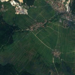
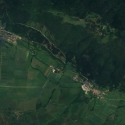
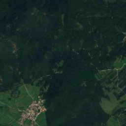
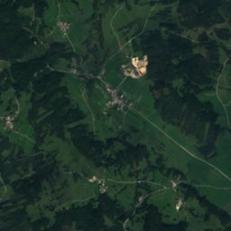
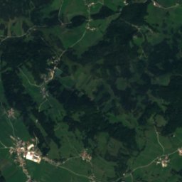
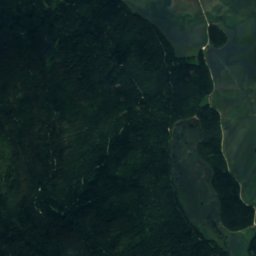
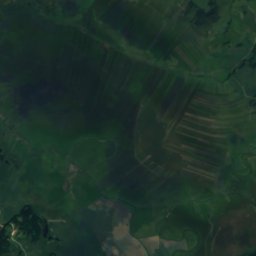
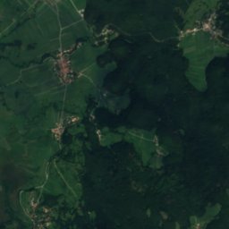
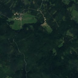
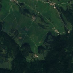
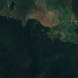
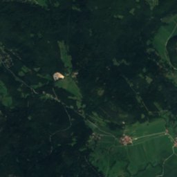
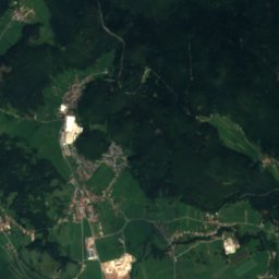
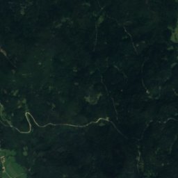
Satellite: Sentinel-2 cloudless 2016 by EOX IT Services GmbH · CC BY 4.0 · Contains modified Copernicus Sentinel data 2016
Satellite: Sentinel-2 cloudless 2016 by EOX IT Services GmbH · CC BY 4.0 · Contains modified Copernicus Sentinel data 2016


Photo: Gaber at Slovenian Wikipedia · CC BY-SA 3.0 · Wikimedia CommonsReport this photo · linked, not stored

Summits nearbyMountains of Slovenia
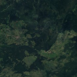
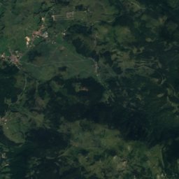
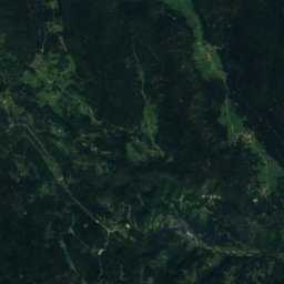
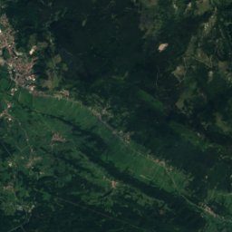
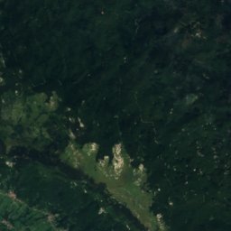
Satellite: Sentinel-2 cloudless 2016 by EOX IT Services GmbH · CC BY 4.0 · Contains modified Copernicus Sentinel data 2016

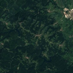
Satellite: Sentinel-2 cloudless 2016 by EOX IT Services GmbH · CC BY 4.0 · Contains modified Copernicus Sentinel data 2016
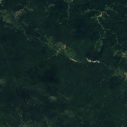
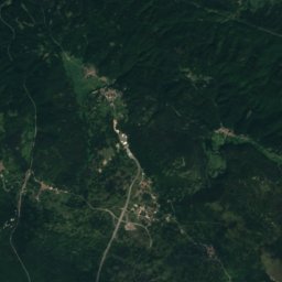
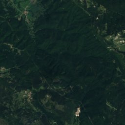
Satellite: Sentinel-2 cloudless 2016 by EOX IT Services GmbH · CC BY 4.0 · Contains modified Copernicus Sentinel data 2016
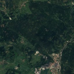
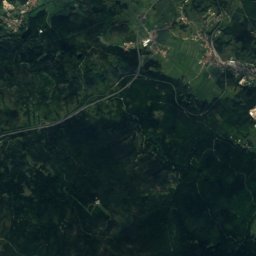
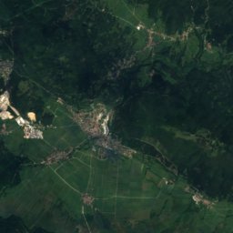
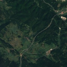
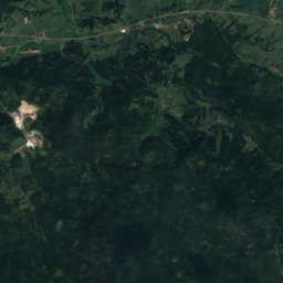
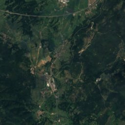
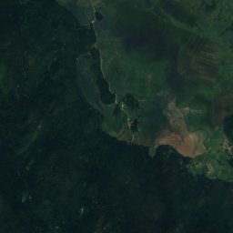
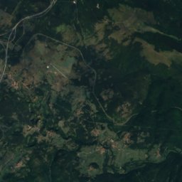
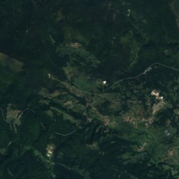
Satellite: Sentinel-2 cloudless 2016 by EOX IT Services GmbH · CC BY 4.0 · Contains modified Copernicus Sentinel data 2016
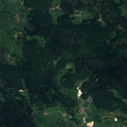
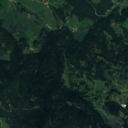
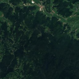
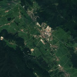
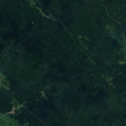
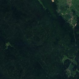
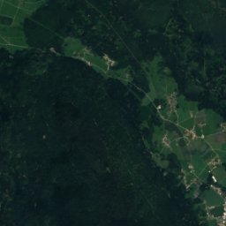
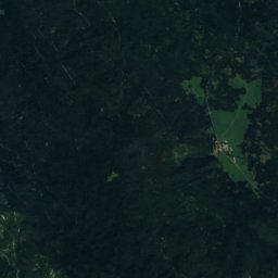
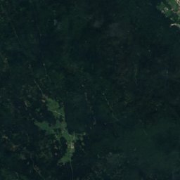
Satellite: Sentinel-2 cloudless 2016 by EOX IT Services GmbH · CC BY 4.0 · Contains modified Copernicus Sentinel data 2016
Stay nearby
Towns close by

Laze pri Gorenjem Jezeru
Municipality of Cerknica · 0.9 km SW
14°Oct high
11wet days
48score


Around here
Gorenje Jezero and around

Gorenje Jezero
Municipality of Cerknica · Slovenia
Jun · Aug–Sepbest months
26°July high
558 maltitude
Nature
Satellite: Sentinel-2 cloudless 2016 by EOX IT Services GmbH · CC BY 4.0 · Contains modified Copernicus Sentinel data 2016
Cross Cave
Cave · 817 m
Photo: Gaber at Slovenian Wikipedia · CC BY-SA 3.0 · Wikimedia CommonsReport this photo · linked, not stored
Dom na Slivnici
Mountain hut · 1,078 m
Mountains
Satellite: Sentinel-2 cloudless 2016 by EOX IT Services GmbH · CC BY 4.0 · Contains modified Copernicus Sentinel data 2016
Veliki Snežnik
1,796 m · Snežnik

Satellite: Sentinel-2 cloudless 2016 by EOX IT Services GmbH · CC BY 4.0 · Contains modified Copernicus Sentinel data 2016
Mali Snežnik
1,778 m · Snežnik
Heritage


Sts. Primus and Felician Church, Otok
registered immobile cultural heritage of Slovenia

Photo: Martin Windischhofer · Public domain · Wikimedia CommonsReport this photo · linked, not stored

Lake Cerknica
Ramsar site