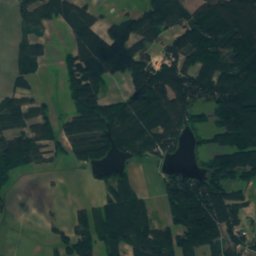
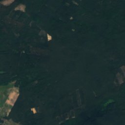
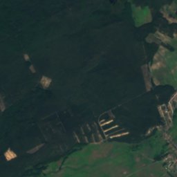
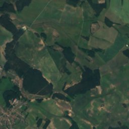
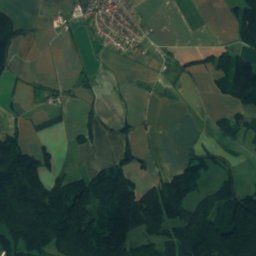
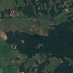
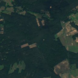
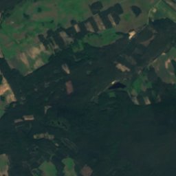
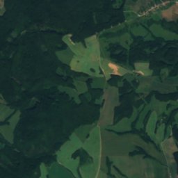
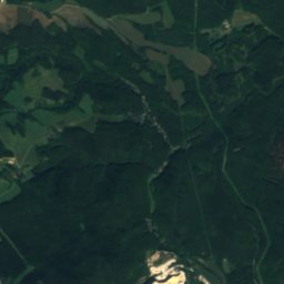
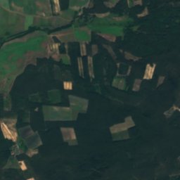
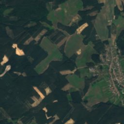
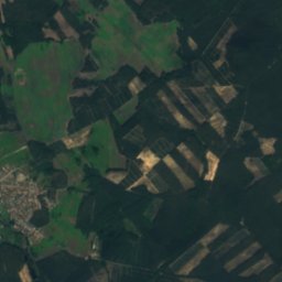
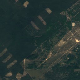
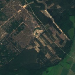
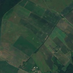
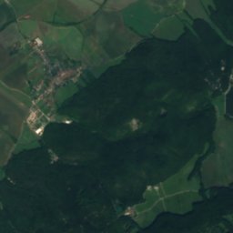
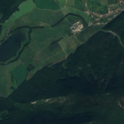
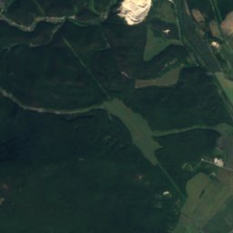
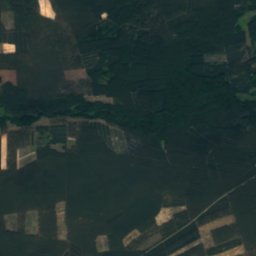
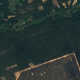
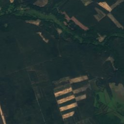
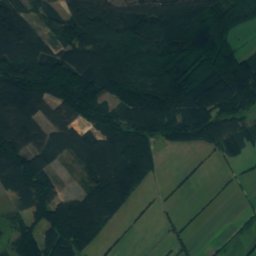
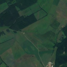
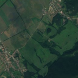
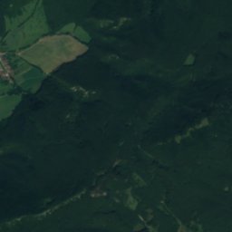
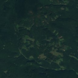
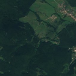
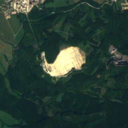
Satellite: Sentinel-2 cloudless 2016 by EOX IT Services GmbH · CC BY 4.0 · Contains modified Copernicus Sentinel data 2016
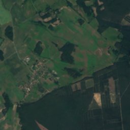
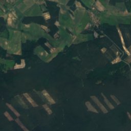
 Veterlín
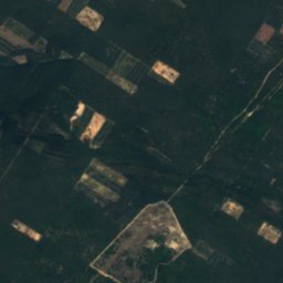
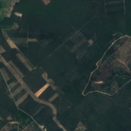
 Havranica
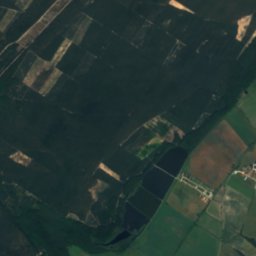
CavePlavecké Podhradie, Bratislava Region
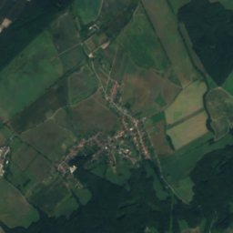
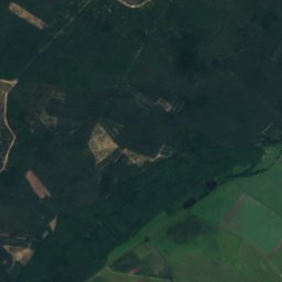
Pec
Cave297 m elevationBest Apr–May · Sep
Elevation297 mabove sea level
Inside10°Call year
Nearest townPlavecké Podhradie1.4 km
48.50° N, 17.27° EElevation 297 mUTC+1 · Central European Standard Time
When to goPlavecké Podhradie · weather score
Best timeApr–May · Sep
October: high / low15° / 6°
Cave
Pec in brief
Pec is a cave in Plavecké Podhradie, Bratislava Region, Slovakia.
It lies at 297 m above sea level.
The nearest town is Plavecké Podhradie, 1.4 km to the SW, where the weather is best in April, May and September.
Inside, a cave stays close to the average yearly air temperature outside: about 10°C all year.
Weather nearby now
Forecast for Plavecké Podhradie5°
Clear now
Today
26 Oct
13°
5°
2 mm
Tue
27 Oct
14°
3°
Wed
28 Oct
14°
4°
Thu
29 Oct
14°
3°
Fri
30 Oct
11°
1°
2 mm
Model run 12:00 UTCRefreshed several times a day
When to go
Climate of Plavecké PodhradieThe best months around Pec
Month score in Plavecké Podhradie
Comfort, dry days and sunshine · out of 10026
Jan
31
Feb
36
Mar
76
Apr
69
May
69
Jun
61
Jul
65
Aug
77
Sep
61
Oct
29
Nov
26
Dec
Map
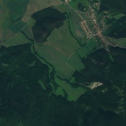
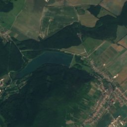
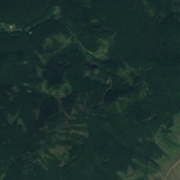
Pec from above
Nature nearbyAll of Slovakia
Satellite: Sentinel-2 cloudless 2016 by EOX IT Services GmbH · CC BY 4.0 · Contains modified Copernicus Sentinel data 2016
Satellite: Sentinel-2 cloudless 2016 by EOX IT Services GmbH · CC BY 4.0 · Contains modified Copernicus Sentinel data 2016
Satellite: Sentinel-2 cloudless 2016 by EOX IT Services GmbH · CC BY 4.0 · Contains modified Copernicus Sentinel data 2016
Satellite: Sentinel-2 cloudless 2016 by EOX IT Services GmbH · CC BY 4.0 · Contains modified Copernicus Sentinel data 2016
Satellite: Sentinel-2 cloudless 2016 by EOX IT Services GmbH · CC BY 4.0 · Contains modified Copernicus Sentinel data 2016
Satellite: Sentinel-2 cloudless 2016 by EOX IT Services GmbH · CC BY 4.0 · Contains modified Copernicus Sentinel data 2016
Summits nearbyMountains of Slovakia
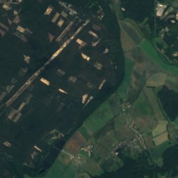
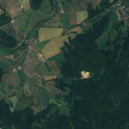
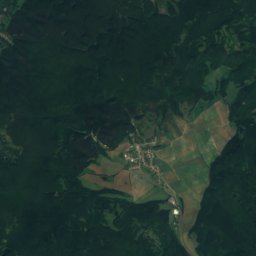
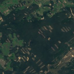
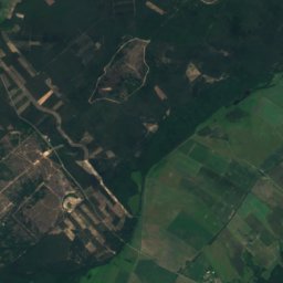
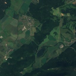
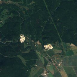
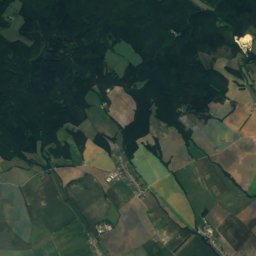
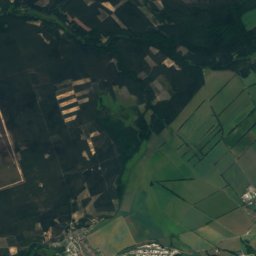
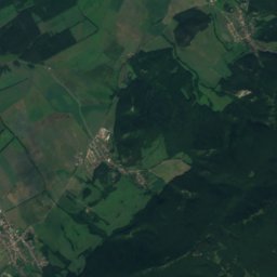
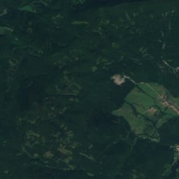
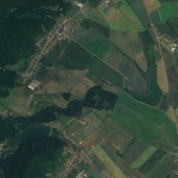
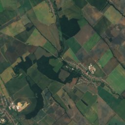
Satellite: Sentinel-2 cloudless 2016 by EOX IT Services GmbH · CC BY 4.0 · Contains modified Copernicus Sentinel data 2016
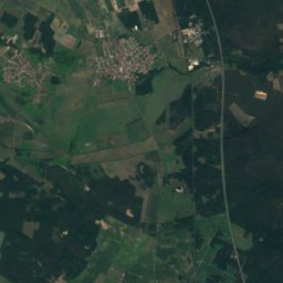
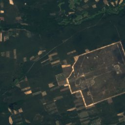
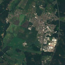
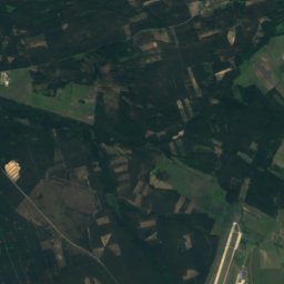
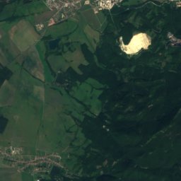
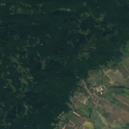
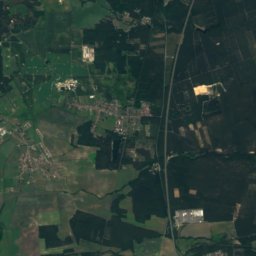
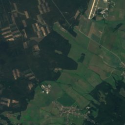
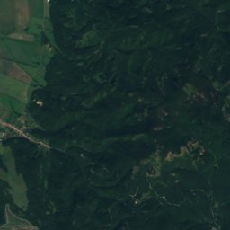
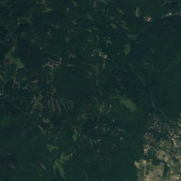
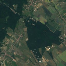
Satellite: Sentinel-2 cloudless 2016 by EOX IT Services GmbH · CC BY 4.0 · Contains modified Copernicus Sentinel data 2016
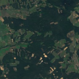
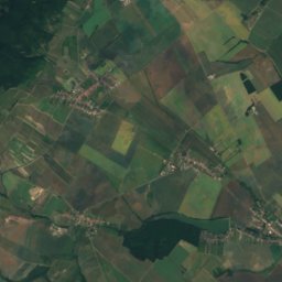
Satellite: Sentinel-2 cloudless 2016 by EOX IT Services GmbH · CC BY 4.0 · Contains modified Copernicus Sentinel data 2016
Satellite: Sentinel-2 cloudless 2016 by EOX IT Services GmbH · CC BY 4.0 · Contains modified Copernicus Sentinel data 2016


Stay nearby
Towns close by
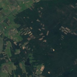
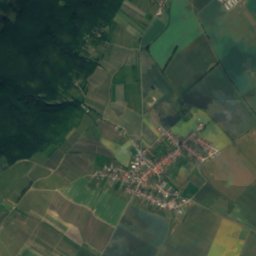
Satellite: Sentinel-2 cloudless 2016 by EOX IT Services GmbH · CC BY 4.0 · Contains modified Copernicus Sentinel data 2016
Plavecký Mikuláš
Bratislava Region · 3.1 km NE
15°Oct high
9wet days
57score
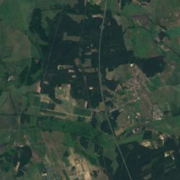
Satellite: Sentinel-2 cloudless 2016 by EOX IT Services GmbH · CC BY 4.0 · Contains modified Copernicus Sentinel data 2016
Sološnica
Bratislava Region · 4.4 km SW
15°Oct high
8wet days
61score

Around here
Plavecké Podhradie and around

Plavecké Podhradie
Bratislava Region · Slovakia
Apr–May · Sepbest months
27°July high
218 maltitude
Nature

Satellite: Sentinel-2 cloudless 2016 by EOX IT Services GmbH · CC BY 4.0 · Contains modified Copernicus Sentinel data 2016
Rudava
River
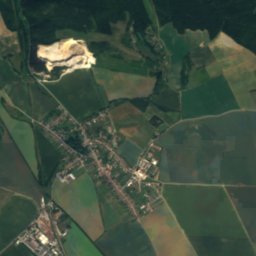
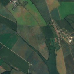
Satellite: Sentinel-2 cloudless 2016 by EOX IT Services GmbH · CC BY 4.0 · Contains modified Copernicus Sentinel data 2016
Hlbočiansky vodopád
Waterfall
Mountains
Satellite: Sentinel-2 cloudless 2016 by EOX IT Services GmbH · CC BY 4.0 · Contains modified Copernicus Sentinel data 2016
Záruby
767 m · Little Carpathians
Satellite: Sentinel-2 cloudless 2016 by EOX IT Services GmbH · CC BY 4.0 · Contains modified Copernicus Sentinel data 2016
Vysoká (Little Carpathians)
754 m · Little Carpathians


