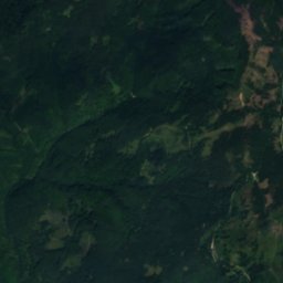
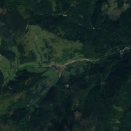
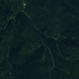
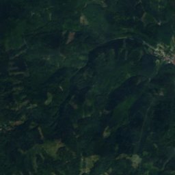
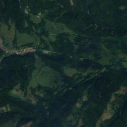
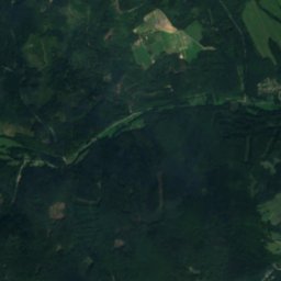
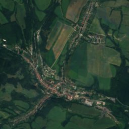
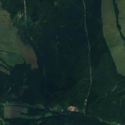
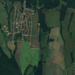
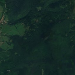
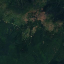
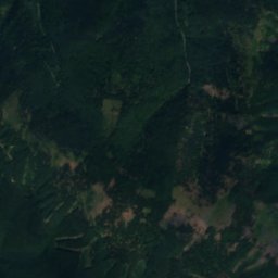
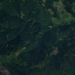
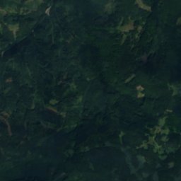
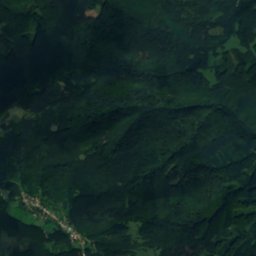
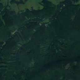
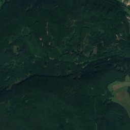
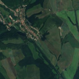
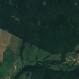
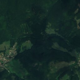
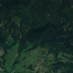
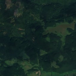
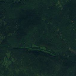
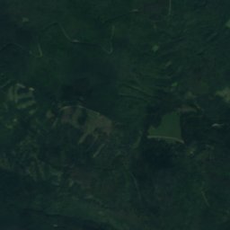
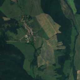
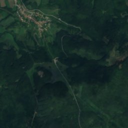
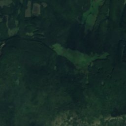
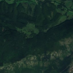
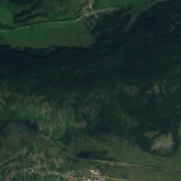
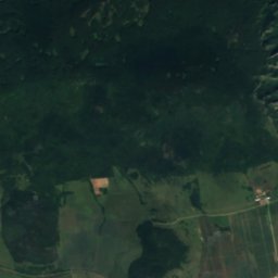
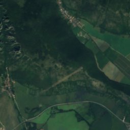
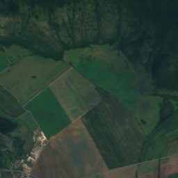
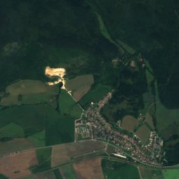
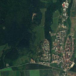
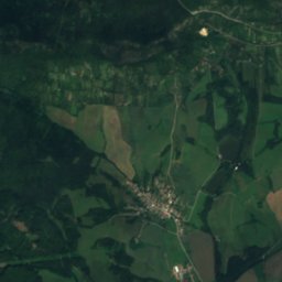
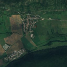
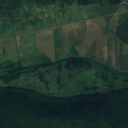
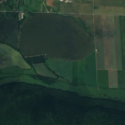
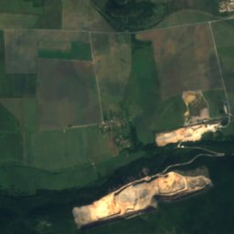
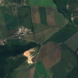
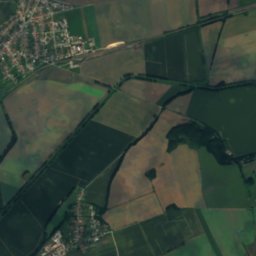
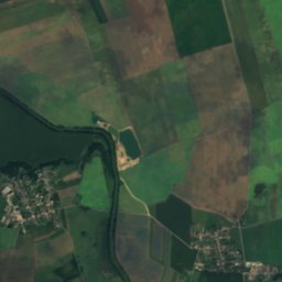
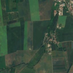
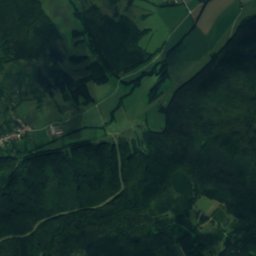
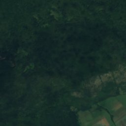
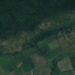
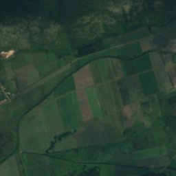
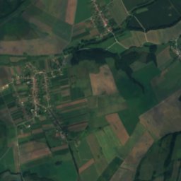
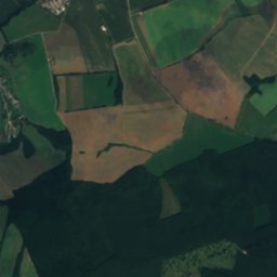
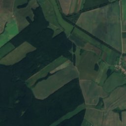
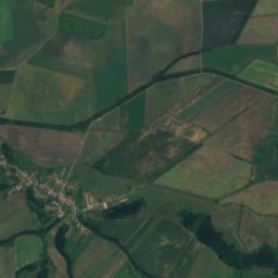
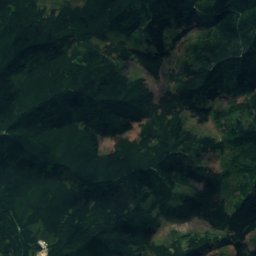
Satellite: Sentinel-2 cloudless 2016 by EOX IT Services GmbH · CC BY 4.0 · Contains modified Copernicus Sentinel data 2016
 Péčko

Photo: Stepan Hasek · CC BY-SA 4.0 · Wikimedia Commons
Hájske WaterfallsReport this photo · linked, not stored
Hájske WaterfallsHájske WaterfallsReport this photo · linked, not stored

Photo: Szenti Tamás · CC BY-SA 4.0 · Wikimedia Commons
Nádaskai PotholeReport this photo · linked, not stored
Nádaskai PotholeNádaskai PotholeReport this photo · linked, not stored

Photo: SanoAK: Alexander Kürthy · CC BY-SA 4.0 · Wikimedia Commons
Zlatý stôlReport this photo · linked, not stored
Zlatý stôlZlatý stôlReport this photo · linked, not stored
CaveHáj, Košice Region
Erňa
CaveBest Jun · Aug–Sep
Elevation–above sea level
Inside9°Call year
Nearest townHáj1.7 km
48.62° N, 20.84° EUTC+1 · Central European Standard Time
When to goHáj · weather score
Best timeJun · Aug–Sep
October: high / low14° / 5°
Cave
Erňa in brief
Erňa is a cave in Háj, Košice Region, Slovakia.
The nearest town is Háj, 1.7 km to the NE, where the weather is best in June, August and September.
Inside, a cave stays close to the average yearly air temperature outside: about 9°C all year.
Weather nearby now
Forecast for Háj8°
Rain now
Today
26 Oct
10°
4°
9 mm
Tue
27 Oct
13°
4°
Wed
28 Oct
18°
5°
Thu
29 Oct
13°
6°
Fri
30 Oct
12°
5°
Model run 12:00 UTCRefreshed several times a day
When to go
Climate of HájThe best months around Erňa
Month score in Háj
Comfort, dry days and sunshine · out of 10023
Jan
25
Feb
29
Mar
60
Apr
64
May
65
Jun
62
Jul
67
Aug
73
Sep
52
Oct
24
Nov
21
Dec
Map
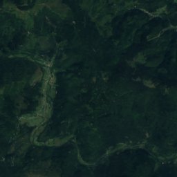
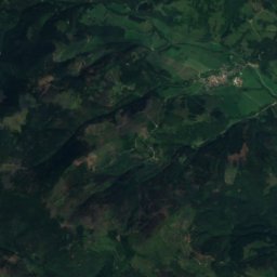
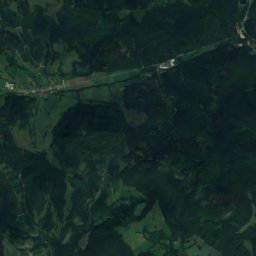
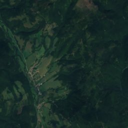
Erňa from above
Nature nearbyAll of Slovakia


Satellite: Sentinel-2 cloudless 2016 by EOX IT Services GmbH · CC BY 4.0 · Contains modified Copernicus Sentinel data 2016
Satellite: Sentinel-2 cloudless 2016 by EOX IT Services GmbH · CC BY 4.0 · Contains modified Copernicus Sentinel data 2016
Satellite: Sentinel-2 cloudless 2016 by EOX IT Services GmbH · CC BY 4.0 · Contains modified Copernicus Sentinel data 2016

Summits nearbyMountains of Slovakia

Photo: SanoAK: Alexander Kürthy · CC BY-SA 4.0 · Wikimedia CommonsReport this photo · linked, not stored


Photo: SanoAK: Alexander Kürthy · CC BY-SA 4.0 · Wikimedia CommonsReport this photo · linked, not stored
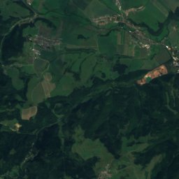
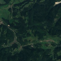
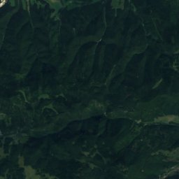
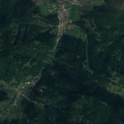
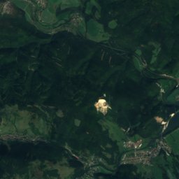
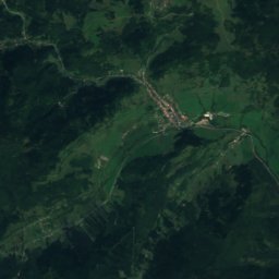
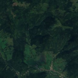
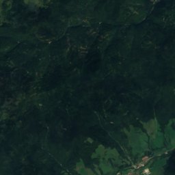
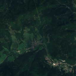
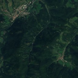
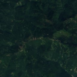
Satellite: Sentinel-2 cloudless 2016 by EOX IT Services GmbH · CC BY 4.0 · Contains modified Copernicus Sentinel data 2016
Satellite: Sentinel-2 cloudless 2016 by EOX IT Services GmbH · CC BY 4.0 · Contains modified Copernicus Sentinel data 2016
Stay nearby
Towns close by


Around here
Háj and around
Nature


Mountains
Photo: SanoAK: Alexander Kürthy · CC BY-SA 4.0 · Wikimedia CommonsReport this photo · linked, not stored
Zlatý stôl
1,322 m · Volovec Mountains

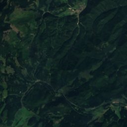
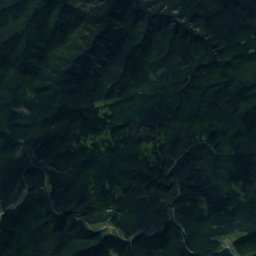
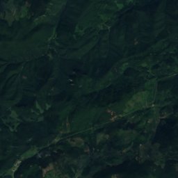
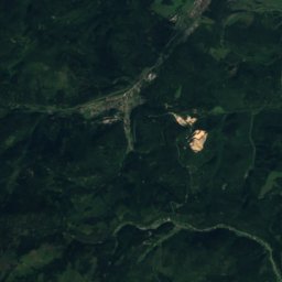
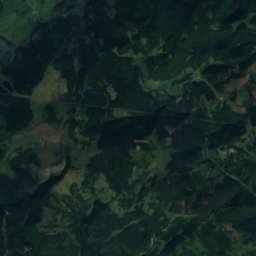
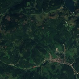
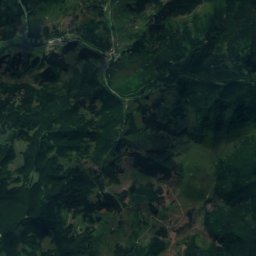
Heritage

Satellite: Sentinel-2 cloudless 2016 by EOX IT Services GmbH · CC BY 4.0 · Contains modified Copernicus Sentinel data 2016
Turňa Castle
Cultural Heritage Monuments of Slovakia · 1201


Museums

Photo: Govisity / Tip na Trip / kosice.guide · CC BY 2.0 · Wikimedia CommonsReport this photo · linked, not stored
Hámor v Medzeve
1967


Satellite: Sentinel-2 cloudless 2016 by EOX IT Services GmbH · CC BY 4.0 · Contains modified Copernicus Sentinel data 2016