Skip to content
Destinations
Weather & climate
Nature
Outdoors
Culture
Events
Sky & live
Blh
Photo: Szeder László · CC BY-SA 4.0 · Wikimedia Commons
BlhReport this photo · linked, not stored
Turiec, Banská Bystrica Region
Photo: Ladislav Luppa · CC BY-SA 4.0 · Wikimedia Commons
Turiec, Banská Bystrica RegionReport this photo · linked, not stored
Turiec, Banská Bystrica Region
Gortva
Photo: Ladislav Luppa · CC BY-SA 4.0 · Wikimedia Commons
GortvaReport this photo · linked, not stored
Gortva
Muráň
Photo: Bertramz · CC BY-SA 3.0 · Wikimedia Commons
MuráňReport this photo · linked, not stored
Muráň
Ragáč
Photo: Sztudva Gyöngyi · CC BY-SA 3.0 · Wikimedia Commons
RagáčReport this photo · linked, not stored
Ragáč
RiverČíž, Banská Bystrica Region

Blh

River157 m elevationBest Apr–May · Sep
Elevation157 mabove sea level
Length53 kmsource to mouth
Nearest townČíž2.0 km
48.30° N, 20.27° EElevation 157 mUTC+1 · Central European Standard Time
When to goČíž · weather score
JanFebMarAprMayJunJulAugSepOctNovDec61October
Best timeApr–May · Sep
October: high / low15° / 6°
River

Blh in brief

Blh is a river in Číž, Banská Bystrica Region, Slovakia.

It lies at 157 m above sea level.

The nearest town is Číž, 2.0 km to the NE, where the weather is best in April, May and September.

Blh is 53 km long.

Číž: weather and travel guide

Weather nearby now

Forecast for Číž
11°
Partly cloudy now
Wind8 km/h
Humidity68%
Cloud cover20%
Today
30 Oct
14°
5°
Sat
31 Oct
12°
4°
Sun
1 Nov
13°
3°
Mon
2 Nov
12°
4°
Tue
3 Nov
10°
4°
1 mm

Model run 12:00 UTCRefreshed several times a day

When to go

The best months around Blh

Climate of Číž

Month score in Číž

Comfort, dry days and sunshine · out of 100
29
Jan
30
Feb
37
Mar
71
Apr
65
May
65
Jun
59
Jul
65
Aug
76
Sep
61
Oct
29
Nov
27
Dec
Map

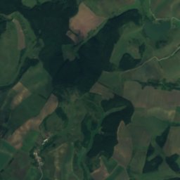
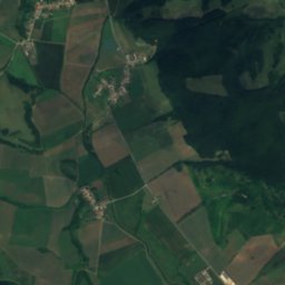
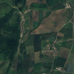
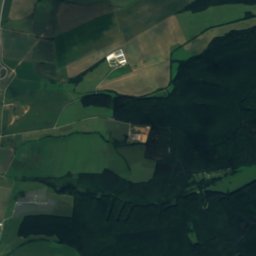
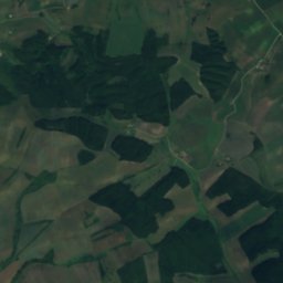
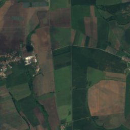
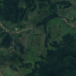
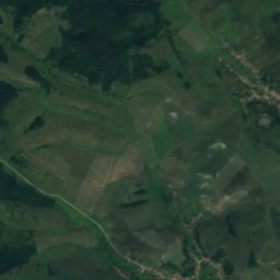
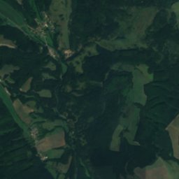
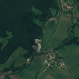
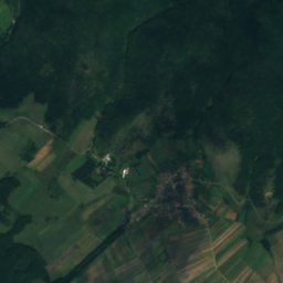
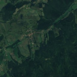
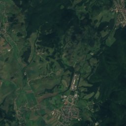
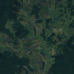
Blh from above

Nature nearbyAll of Slovakia
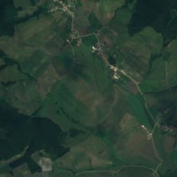
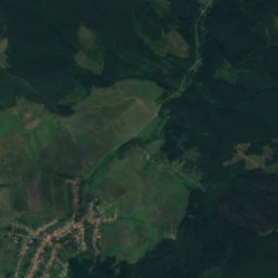
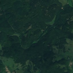
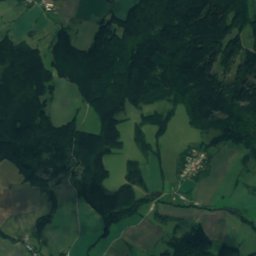
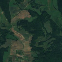
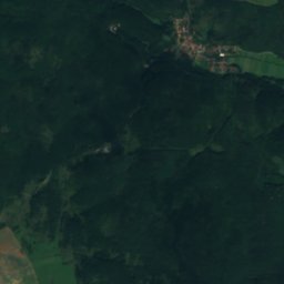
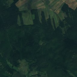
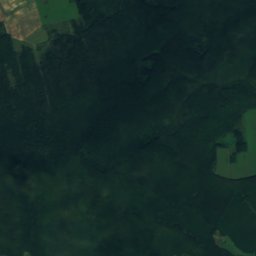
Satellite: Sentinel-2 cloudless 2016 by EOX IT Services GmbH · CC BY 4.0 · Contains modified Copernicus Sentinel data 2016
JazernicaLake12 kmNJazernica
Photo: Ladislav Luppa · CC BY-SA 4.0 · Wikimedia CommonsReport this photo · linked, not stored
Turiec, Banská Bystrica RegionRiver13 kmNTuriec, Banská Bystrica Region
Photo: Ladislav Luppa · CC BY-SA 4.0 · Wikimedia CommonsReport this photo · linked, not stored
GortvaRiver14 kmWGortva
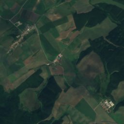
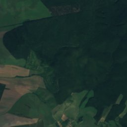
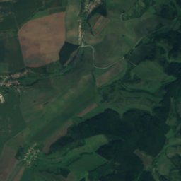
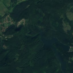
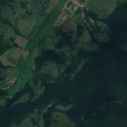
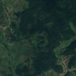
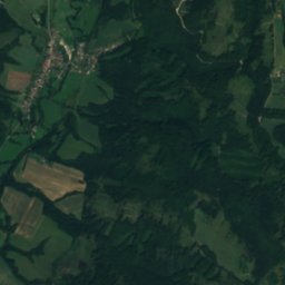
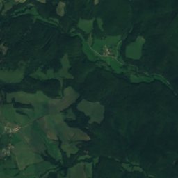
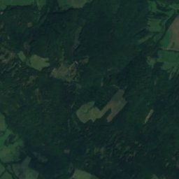
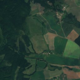
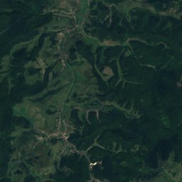
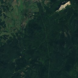
Satellite: Sentinel-2 cloudless 2016 by EOX IT Services GmbH · CC BY 4.0 · Contains modified Copernicus Sentinel data 2016
Lázbérc ReservoirLake18 kmSELázbérc Reservoir
Photo: Bertramz · CC BY-SA 3.0 · Wikimedia CommonsReport this photo · linked, not stored
MuráňRiver22 kmNMuráň
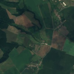
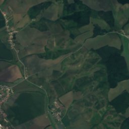
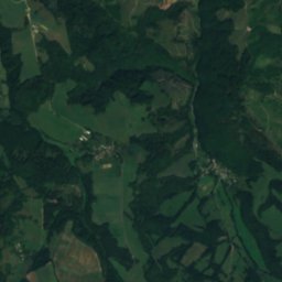
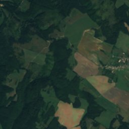
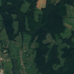
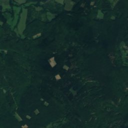
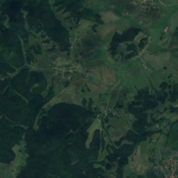
Satellite: Sentinel-2 cloudless 2016 by EOX IT Services GmbH · CC BY 4.0 · Contains modified Copernicus Sentinel data 2016
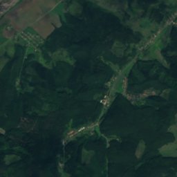
Teplý Vrch ReservoirLake24 kmNWTeplý Vrch Reservoir
Summits nearbyMountains of Slovakia
Photo: Sztudva Gyöngyi · CC BY-SA 3.0 · Wikimedia CommonsReport this photo · linked, not stored
Ragáč23 km W537 mJuly 26°Ragáč
Stay nearby

Towns close by

Číž
Photo: Farkas Gergely · CC BY-SA 3.0 · Wikimedia CommonsReport this photo · linked, not stored

Číž

Banská Bystrica Region · 2.0 km NE
15°Oct high
9wet days
61score
Číž
Rimavská Seč
Photo: Farkas Gergely · CC BY-SA 3.0 · Wikimedia CommonsReport this photo · linked, not stored

Rimavská Seč

Banská Bystrica Region · 2.4 km W
15°Oct high
9wet days
61score
Rimavská Seč
Zádor
Photo: Ladislav Luppa · CC BY-SA 4.0 · Wikimedia CommonsReport this photo · linked, not stored

Zádor

Banská Bystrica Region · 3.0 km NW
15°Oct high
9wet days
62score
Zádor
Vlkyňa
Photo: Farkas Gergely · Public domain · Wikimedia CommonsReport this photo · linked, not stored

Vlkyňa

Banská Bystrica Region · 3.2 km SE
15°Oct high
9wet days
61score
Vlkyňa
Around here

Číž and around

Číž
Photo: Farkas Gergely · CC BY-SA 3.0 · Wikimedia CommonsReport this photo · linked, not stored

Číž

Banská Bystrica Region · Slovakia
Apr–May · Sepbest months
27°July high
170 maltitude
Číž

Nature

Turiec, Banská Bystrica Region
Photo: Ladislav Luppa · CC BY-SA 4.0 · Wikimedia CommonsReport this photo · linked, not stored
11 km N

Turiec, Banská Bystrica Region

River · 170 m
Turiec, Banská Bystrica Region
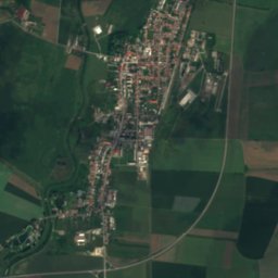
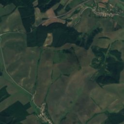
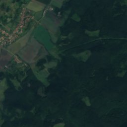
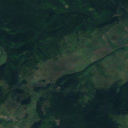
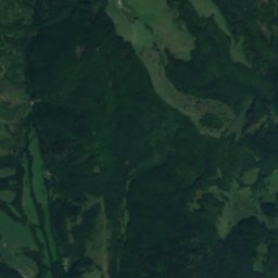
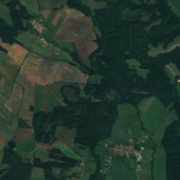
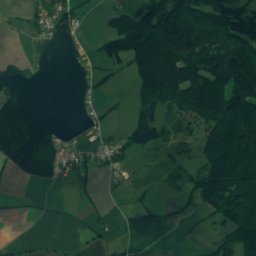
Satellite: Sentinel-2 cloudless 2016 by EOX IT Services GmbH · CC BY 4.0 · Contains modified Copernicus Sentinel data 2016
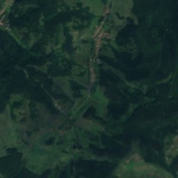
10 km N

Jazernica

Lake
Jazernica
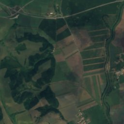
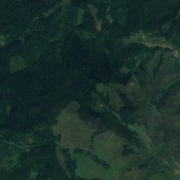
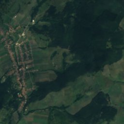
Satellite: Sentinel-2 cloudless 2016 by EOX IT Services GmbH · CC BY 4.0 · Contains modified Copernicus Sentinel data 2016
23 km NE

Aggtelek National Park

National park
Aggtelek National Park

Mountains

Istállós-kő
Photo: Gyurika at Hungarian Wikipedia · CC BY-SA 3.0 · Wikimedia CommonsReport this photo · linked, not stored
29 km SE

Istállós-kő

958 m · Bükk
Istállós-kő
Bálvány
Photo: Pear Blossom · CC BY-SA 3.0 · Wikimedia CommonsReport this photo · linked, not stored
28 km SE

Bálvány

956 m · Bükk
Bálvány
Satellite: Sentinel-2 cloudless 2016 by EOX IT Services GmbH · CC BY 4.0 · Contains modified Copernicus Sentinel data 2016
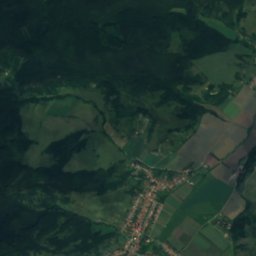
32 km SE

Tar-kő

949 m · Bükk
Tar-kő

Heritage

Reformed church in Žíp
Photo: Ľuboš Repta · CC BY-SA 4.0 · Wikimedia CommonsReport this photo · linked, not stored
8.2 km NW

Reformed church in Žíp

Cultural Heritage Monuments of Slovakia · 1500
Reformed church in Žíp