Nature
Waters, ice and wild places of Senegal
Lakes, waterfalls, glaciers, national parks and mountain huts, each with its location, its size and the weather of the towns around it.
Lakes1with a page
Waterfalls1with a page
National parks4with a page
Beaches3with a page

Lakes
Lakes of Senegal

Waterfalls
Waterfalls of Senegal
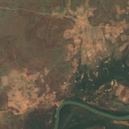
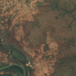
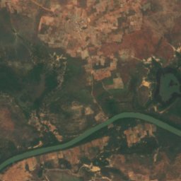
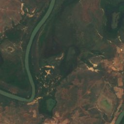
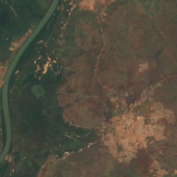
Satellite: Sentinel-2 cloudless 2016 by EOX IT Services GmbH · CC BY 4.0 · Contains modified Copernicus Sentinel data 2016
Barrakunda Falls
Tambacounda, Tambacounda
National parks
National parks of Senegal


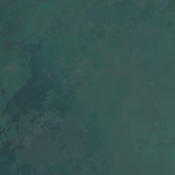
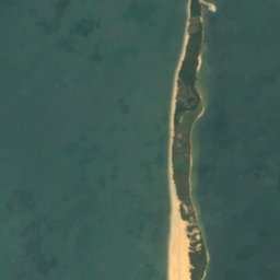
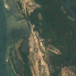
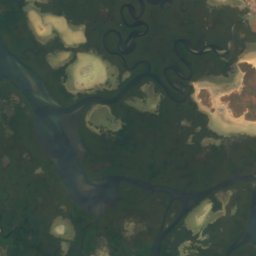
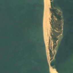
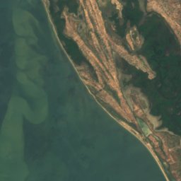
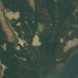

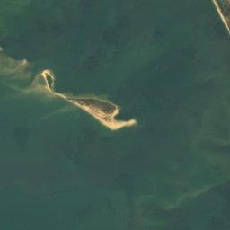
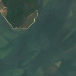
Satellite: Sentinel-2 cloudless 2016 by EOX IT Services GmbH · CC BY 4.0 · Contains modified Copernicus Sentinel data 2016
Saloum Delta National Park
Niodior, Fatick
760 km²
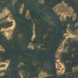
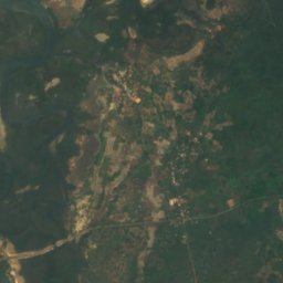
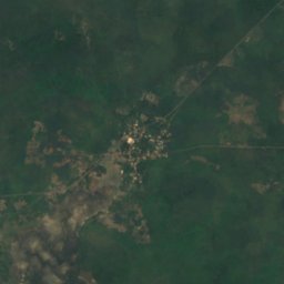
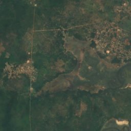
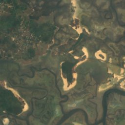
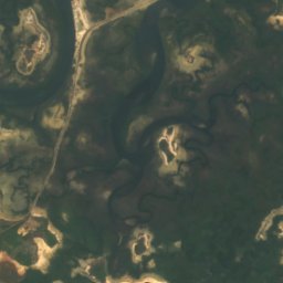
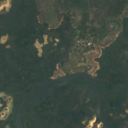
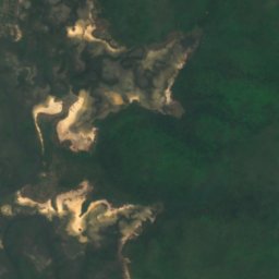
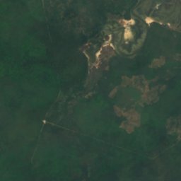
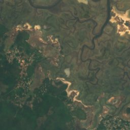
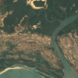
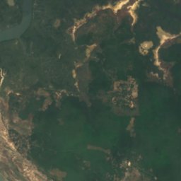
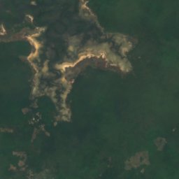
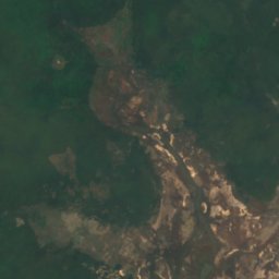
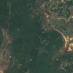
Satellite: Sentinel-2 cloudless 2016 by EOX IT Services GmbH · CC BY 4.0 · Contains modified Copernicus Sentinel data 2016
Basse Casamance National Park
Oussouye, Ziguinchor
50 km²
Beaches
Beaches of Senegal

Photo: Jeff Attaway from Abuja, Nigeria · CC BY 2.0 · Wikimedia CommonsReport this photo · linked, not stored
Plage de Ngor
Mermoz Boabab, Dakar

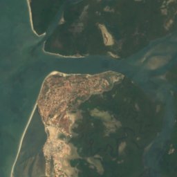
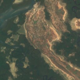
Satellite: Sentinel-2 cloudless 2016 by EOX IT Services GmbH · CC BY 4.0 · Contains modified Copernicus Sentinel data 2016
Point of Sangomar
Niodior, Fatick
Islands
Islands of Senegal


Photo: Earth Science and Remote Sensing Unit, Lyndon B. Johnson Space Center · Public domain · Wikimedia CommonsReport this photo · linked, not stored
Loog
Foundiougne, Fatick
9 m

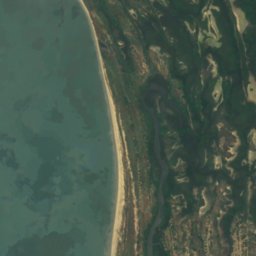
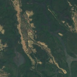
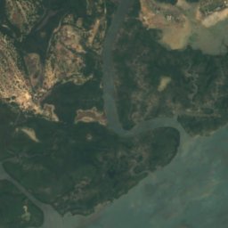
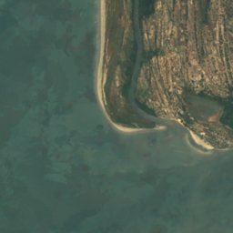
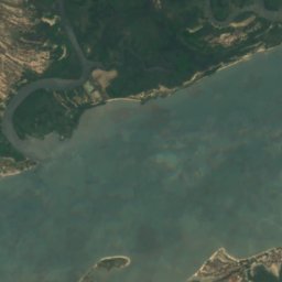
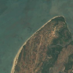
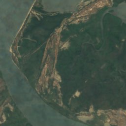
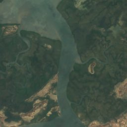
All 40 islands
- Baixo de Falulo
- Banc de Bel-Air
- Banc de l'Île des Oiseaux
- Banc de Ouangaran
- Banc Lequéré
- Chaussée des Almadies
- Devil's Island
- Diogue
- Fadiouth
- Fambine
- Gorée
- Île de Babagueye
- Île de Diamanio
- Île de Diatanou
- Île de Diouk
- Île de Guior
- Île de Guissanor
- Île de Karabane
- Île de Kousmar
- Île de la Goêlette
- Île de Mar
- Île de Mbill
- Île de Poutaké
- Île de Roup
- Île de Safal
- Île de Salsal
- Île de Sor
- Île de Soultouk
- Île de Tine Dine
- Île de Yoff
- Île Djogué
- Île Lougne
- Île Oudioubala
- Îles du Bliss
- Island of Saint-Louis
- Loog
- Magdalen Islands
- Mar Lodj
- Ngor
- Sipo Island
Rivers
Rivers of Senegal


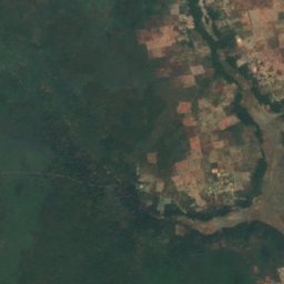
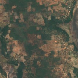
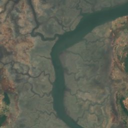
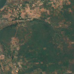
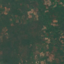
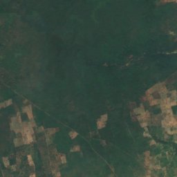
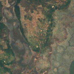
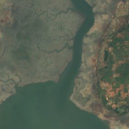
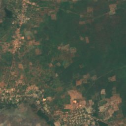
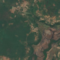
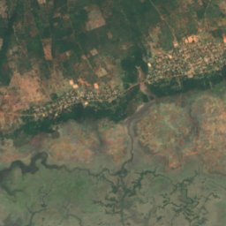
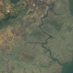
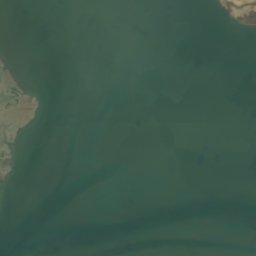
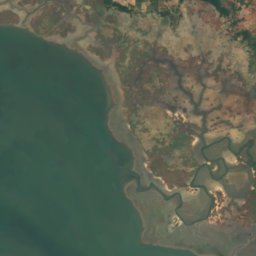
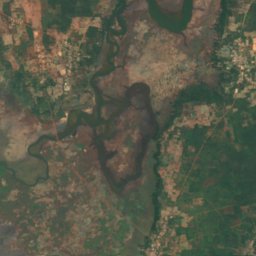
Satellite: Sentinel-2 cloudless 2016 by EOX IT Services GmbH · CC BY 4.0 · Contains modified Copernicus Sentinel data 2016
Soungrougrou River
Marsassoum, Kolda
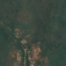
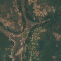
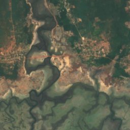
Satellite: Sentinel-2 cloudless 2016 by EOX IT Services GmbH · CC BY 4.0 · Contains modified Copernicus Sentinel data 2016
Soungrougrou
Marsassoum, Kolda
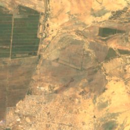
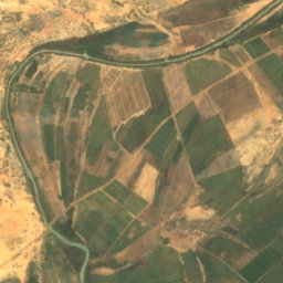
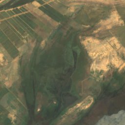
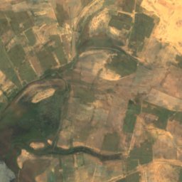
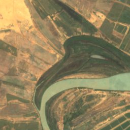
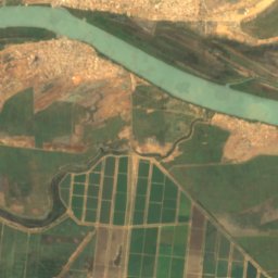
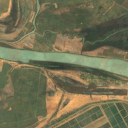
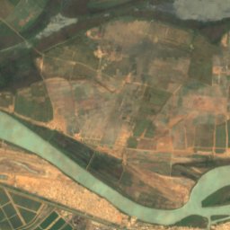
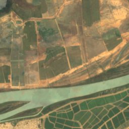
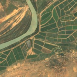
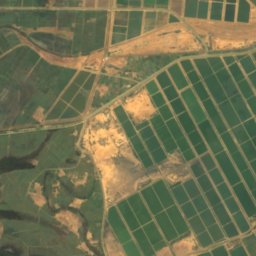
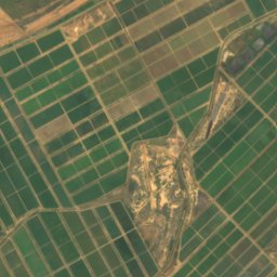
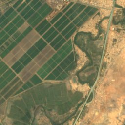
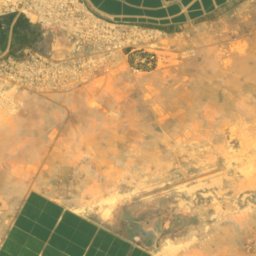
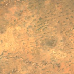
Satellite: Sentinel-2 cloudless 2016 by EOX IT Services GmbH · CC BY 4.0 · Contains modified Copernicus Sentinel data 2016
Taouey
Richard Toll, Saint-Louis
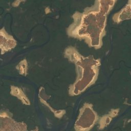
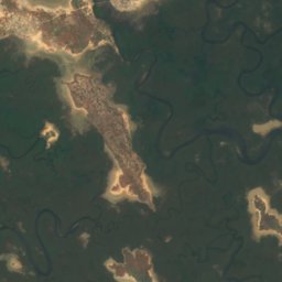
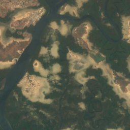
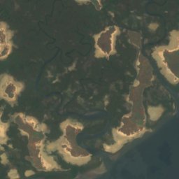
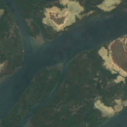
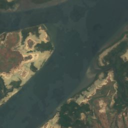


Satellite: Sentinel-2 cloudless 2016 by EOX IT Services GmbH · CC BY 4.0 · Contains modified Copernicus Sentinel data 2016
Bôlon de Diogane
Niodior, Fatick