
RiverVoskresenskoye, Nizhny Novgorod Oblast
Usta
RiverBest Jun–Aug
Elevation–above sea level
Length253 kmsource to mouth
Nearest townVoskresenskoye5.1 km
56.88° N, 45.44° EUTC+3 · Moscow Standard Time
When to goVoskresenskoye · weather score
Best timeJun–Aug
October: high / low7° / 2°
River
Usta in brief
Usta is a river in Voskresenskoye, Nizhny Novgorod Oblast, Russia.
The nearest town in the atlas is Voskresenskoye, 5.1 km to the S, where the weather is best in June, July and August.
Usta is 253 km long.
Weather nearby now
Forecast for Voskresenskoye2°
Cloudy now
Today
22 Oct
8°
-2°
Fri
23 Oct
10°
1°
Sat
24 Oct
11°
3°
Sun
25 Oct
10°
2°
Mon
26 Oct
9°
2°
Model run 00:00 UTCRefreshed several times a day
The course of the river
As mapped in OpenStreetMap, with the towns of the atlas along its banks.- 1Uren118 m
sourcemouth (or where the mapped line leaves the country)
When to go
Climate of VoskresenskoyeThe best months around Usta
Month score in Voskresenskoye
Comfort, dry days and sunshine · out of 10013
Jan
22
Feb
25
Mar
22
Apr
60
May
67
Jun
65
Jul
66
Aug
51
Sep
15
Oct
9
Nov
9
Dec
Map
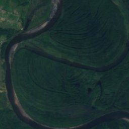
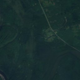
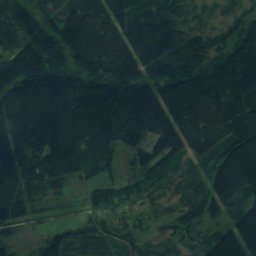
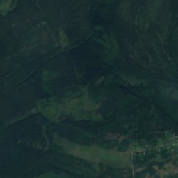
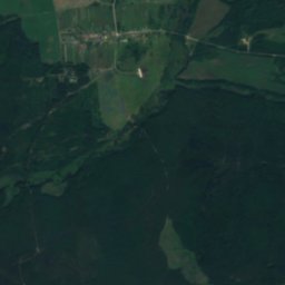
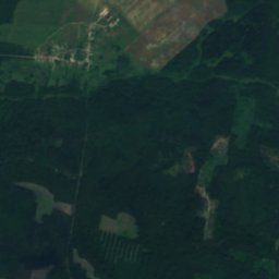
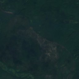
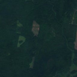
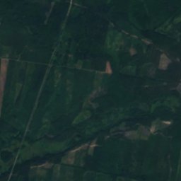
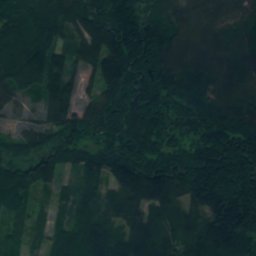
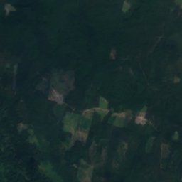
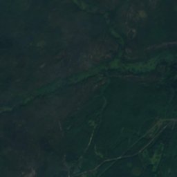
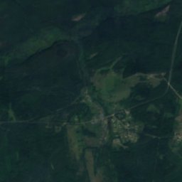
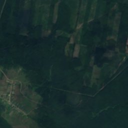
Usta from above
Nature nearbyAll of Russia
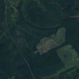
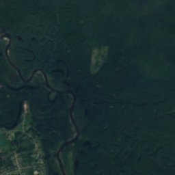
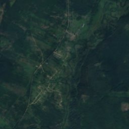
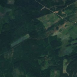
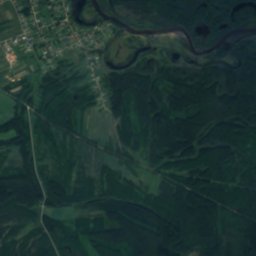
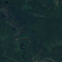
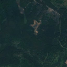
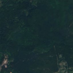
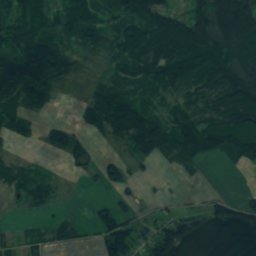
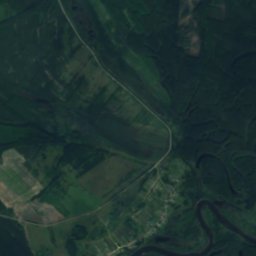
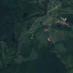
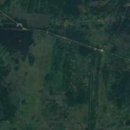
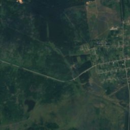
Satellite: Sentinel-2 cloudless 2016 by EOX IT Services GmbH · CC BY 4.0 · Contains modified Copernicus Sentinel data 2016
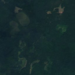
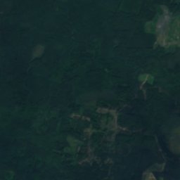
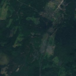
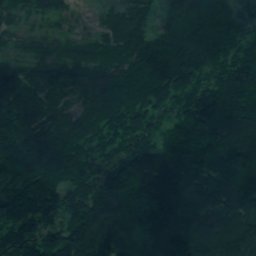
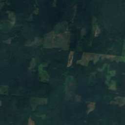
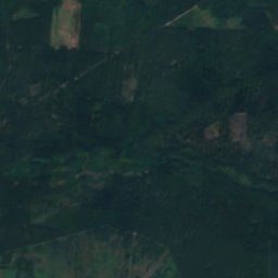
Satellite: Sentinel-2 cloudless 2016 by EOX IT Services GmbH · CC BY 4.0 · Contains modified Copernicus Sentinel data 2016
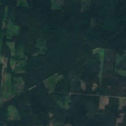
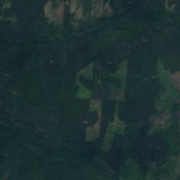
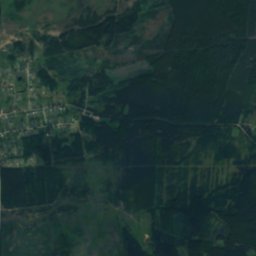
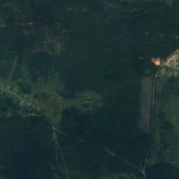
Satellite: Sentinel-2 cloudless 2016 by EOX IT Services GmbH · CC BY 4.0 · Contains modified Copernicus Sentinel data 2016
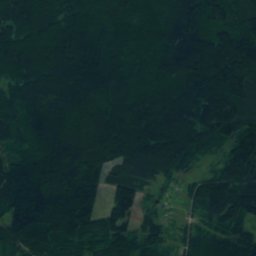
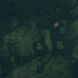
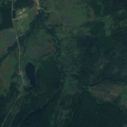
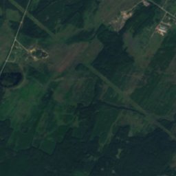
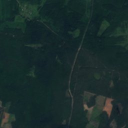
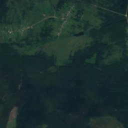
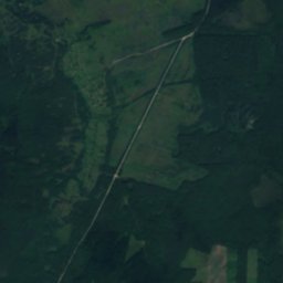
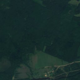
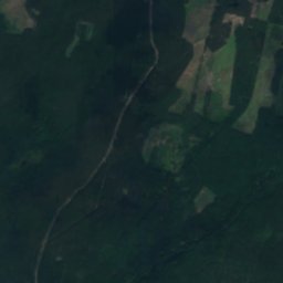
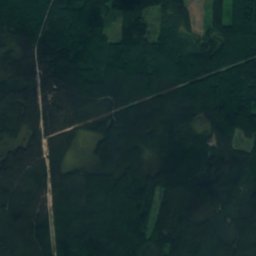
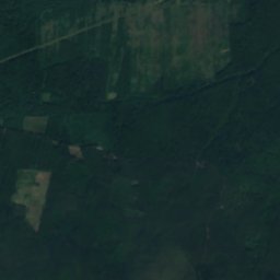
Satellite: Sentinel-2 cloudless 2016 by EOX IT Services GmbH · CC BY 4.0 · Contains modified Copernicus Sentinel data 2016
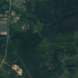
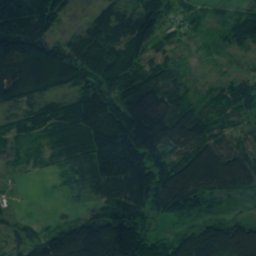
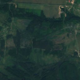
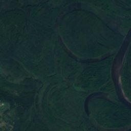
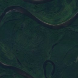
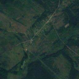
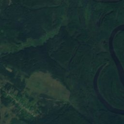
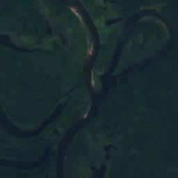
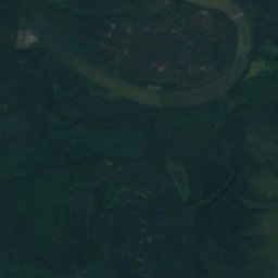
Satellite: Sentinel-2 cloudless 2016 by EOX IT Services GmbH · CC BY 4.0 · Contains modified Copernicus Sentinel data 2016
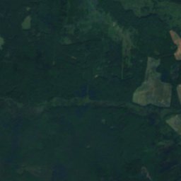
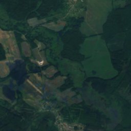
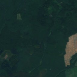
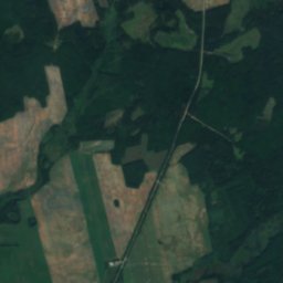
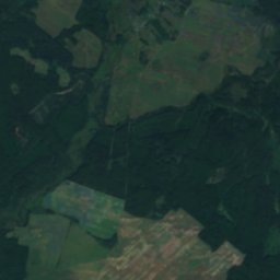
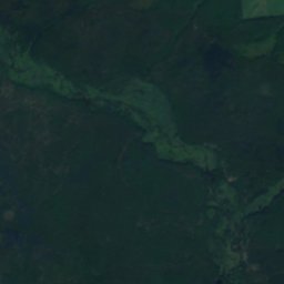
Satellite: Sentinel-2 cloudless 2016 by EOX IT Services GmbH · CC BY 4.0 · Contains modified Copernicus Sentinel data 2016
Stay nearby
Towns close by

Around here
Voskresenskoye and around

Voskresenskoye
Nizhny Novgorod Oblast · Russia
Jun–Augbest months
24°July high
102 maltitude
Nature
Satellite: Sentinel-2 cloudless 2016 by EOX IT Services GmbH · CC BY 4.0 · Contains modified Copernicus Sentinel data 2016
Shveya
River

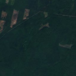
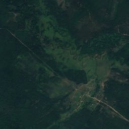


Satellite: Sentinel-2 cloudless 2016 by EOX IT Services GmbH · CC BY 4.0 · Contains modified Copernicus Sentinel data 2016
Khmelyovaya
River