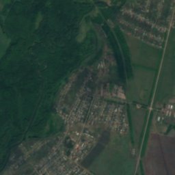
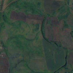
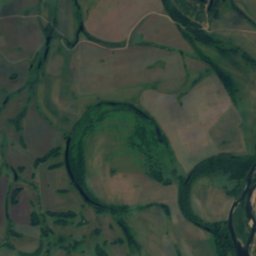
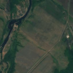
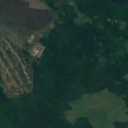
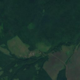
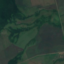
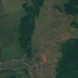
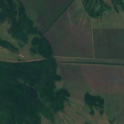
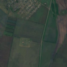
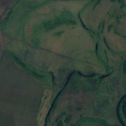
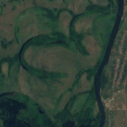
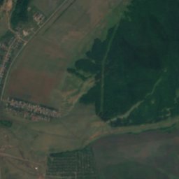
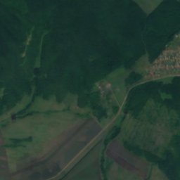
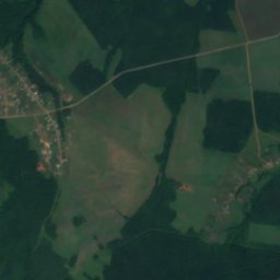
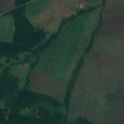
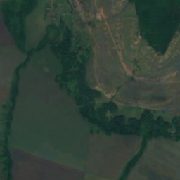
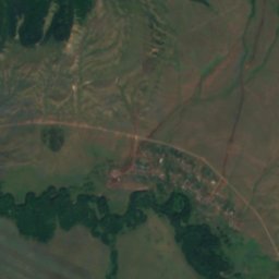
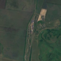
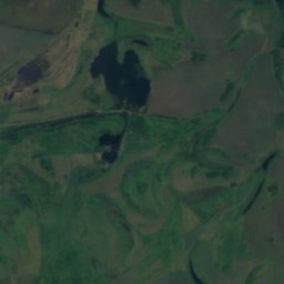

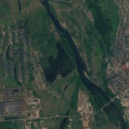
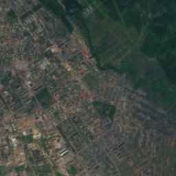
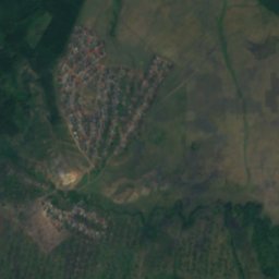
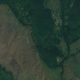

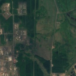
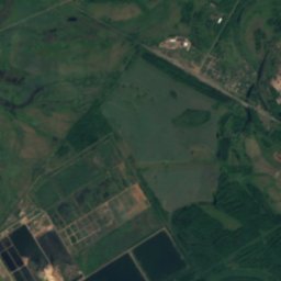
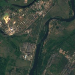
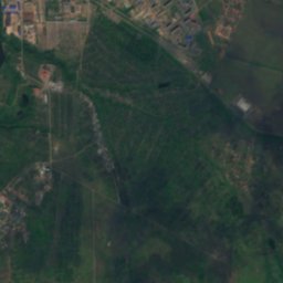
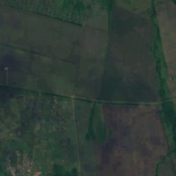
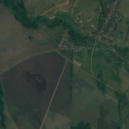
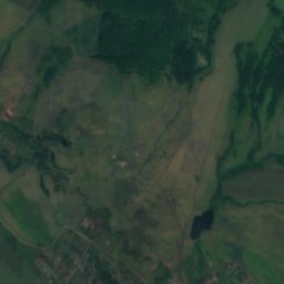
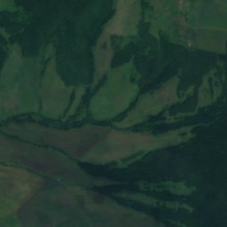
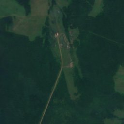
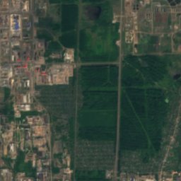
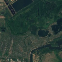
Satellite: Sentinel-2 cloudless 2016 by EOX IT Services GmbH · CC BY 4.0 · Contains modified Copernicus Sentinel data 2016

Photo: Tsibin Konstantin · CC BY 3.0 · Wikimedia Commons
Kuzminovsky PondReport this photo · linked, not stored
Kuzminovsky PondKuzminovsky PondReport this photo · linked, not stored

Photo: Tsibin Konstantin · CC BY 3.0 · Wikimedia Commons
PensionerskoeReport this photo · linked, not stored
PensionerskoePensionerskoeReport this photo · linked, not stored

Photo: Tsibin Konstantin · CC BY 3.0 · Wikimedia Commons
Termen-Elginsky PondReport this photo · linked, not stored
Termen-Elginsky PondTermen-Elginsky PondReport this photo · linked, not stored
RiverIshimbay, Bashkortostan Republic
Timerlya
RiverBest May · Jul–Aug
Elevation–above sea level
Length6.0 kmsource to mouth
Nearest townIshimbay4.8 km
53.44° N, 56.11° EUTC+5 · Yekaterinburg Standard Time
When to goIshimbay · weather score
Best timeMay · Jul–Aug
October: high / low8° / 2°
River
Timerlya in brief
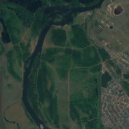
Timerlya is a river in Ishimbay, Bashkortostan Republic, Russia.
The nearest town is Ishimbay, 4.8 km to the W, where the weather is best in May, July and August.
Timerlya is 6.0 km long.
Weather nearby now
Forecast for Ishimbay9°
Sunny now
Today
25 Oct
9°
-1°
Mon
26 Oct
9°
-2°
Tue
27 Oct
10°
-1°
Wed
28 Oct
10°
-1°
Thu
29 Oct
10°
-1°
Model run 00:00 UTCRefreshed several times a day
Map
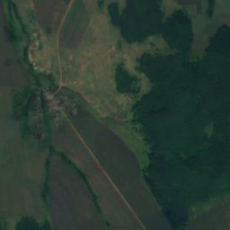
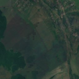
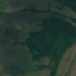
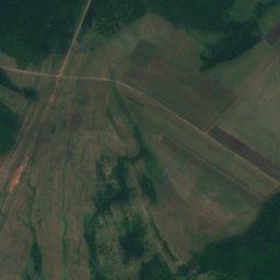
Timerlya from above
Nature nearbyAll of Russia
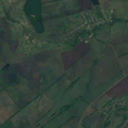
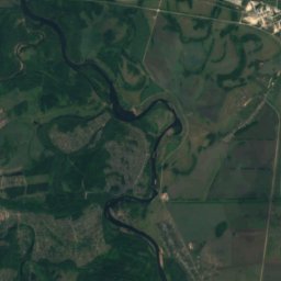
Satellite: Sentinel-2 cloudless 2016 by EOX IT Services GmbH · CC BY 4.0 · Contains modified Copernicus Sentinel data 2016
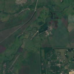
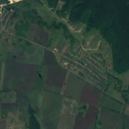
Satellite: Sentinel-2 cloudless 2016 by EOX IT Services GmbH · CC BY 4.0 · Contains modified Copernicus Sentinel data 2016
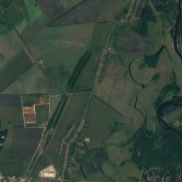
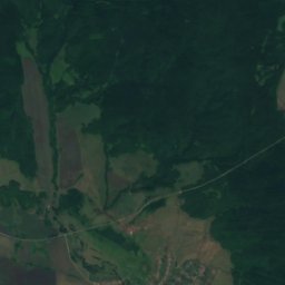
Satellite: Sentinel-2 cloudless 2016 by EOX IT Services GmbH · CC BY 4.0 · Contains modified Copernicus Sentinel data 2016


Summits nearbyMountains of Russia
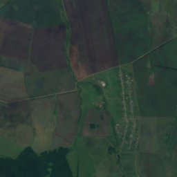
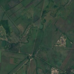
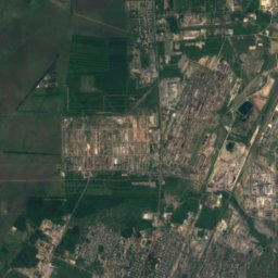
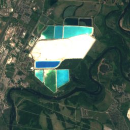
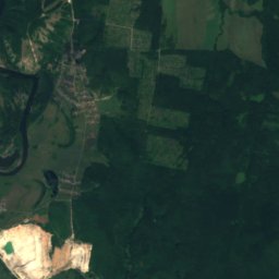
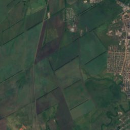
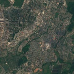
Stay nearby
Towns close by


Around here
Ishimbay and around
Nature

Photo: Рустам AR Ахмедьянов · CC BY-SA 3.0 · Wikimedia CommonsReport this photo · linked, not stored
Tayruk
River
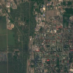
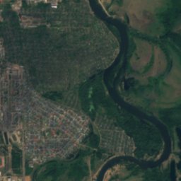
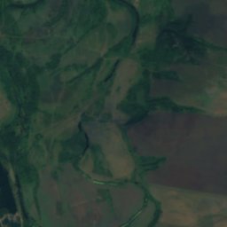
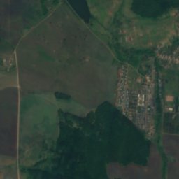
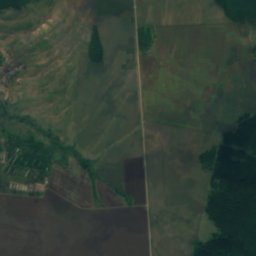
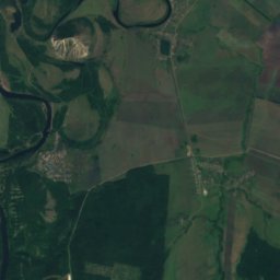
Satellite: Sentinel-2 cloudless 2016 by EOX IT Services GmbH · CC BY 4.0 · Contains modified Copernicus Sentinel data 2016
Termen-Yelga
River
Mountains
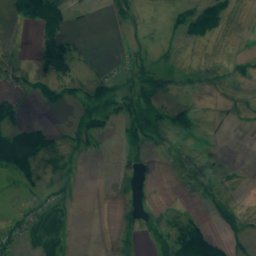
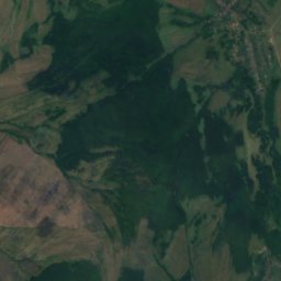
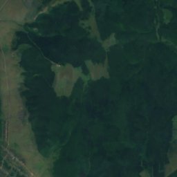
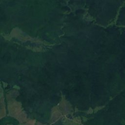
Satellite: Sentinel-2 cloudless 2016 by EOX IT Services GmbH · CC BY 4.0 · Contains modified Copernicus Sentinel data 2016
Lysaya, Voskresenskoye
558 m

Heritage

Babushka-tower, Ishimbay
regional cultural heritage site in Russia · 1967

Neftekhimik Palace of Culture
regional cultural heritage site in Russia

Statue of Lenin in Salavat
regional cultural heritage site in Russia · 1970
Museums


Satellite: Sentinel-2 cloudless 2016 by EOX IT Services GmbH · CC BY 4.0 · Contains modified Copernicus Sentinel data 2016
Ишимбайский музей народного образования
2000
Satellite: Sentinel-2 cloudless 2016 by EOX IT Services GmbH · CC BY 4.0 · Contains modified Copernicus Sentinel data 2016
Ишимбайский историко-краеведческий музей
1997
Satellite: Sentinel-2 cloudless 2016 by EOX IT Services GmbH · CC BY 4.0 · Contains modified Copernicus Sentinel data 2016