
Photo: Ivolga ya · CC BY-SA 4.0 · Wikimedia Commons
Samarskaya Luka National ParkReport this photo · linked, not stored
Samarskaya Luka National ParkReport this photo · linked, not stored

Photo: Наталья Козловская · CC BY-SA 4.0 · Wikimedia Commons
Shiryaevsky ravineReport this photo · linked, not stored
Shiryaevsky ravineShiryaevsky ravineReport this photo · linked, not stored

Photo: Sergei Sorokin · CC BY-SA 3.0 · Wikimedia Commons
SeredyshReport this photo · linked, not stored
SeredyshSeredyshReport this photo · linked, not stored

Photo: Konstantin ak63 · CC BY-SA 4.0 · Wikimedia Commons
Samara embankmentReport this photo · linked, not stored
Samara embankmentSamara embankmentReport this photo · linked, not stored

Photo: ShinePhantom · CC BY-SA 4.0 · Wikimedia Commons
Lysaya mountain (Zhiguli)Report this photo · linked, not stored
Lysaya mountain (Zhiguli)Lysaya mountain (Zhiguli)Report this photo · linked, not stored
National parkZol’noye, Samara Oblast
Samarskaya Luka National Park
National parkBest May · Jul–Aug
Elevation–above sea level
Area1,340 km²surface
Nearest townZol’noye15 km
53.31° N, 49.83° EUTC+4 · Samara Standard Time
When to goZol’noye · weather score
Best timeMay · Jul–Aug
October: high / low9° / 3°
National park
Samarskaya Luka National Park in brief
Samarskaya Luka National Park is a national park in Zol’noye, Samara Oblast, Russia.
It covers about 1,340 km².
The nearest town in the atlas is Zol’noye, 15 km to the N, where the weather is best in May, July and August.
Weather nearby now
Forecast for Zol’noye6°
Cloudy now
Today
22 Oct
11°
0°
Fri
23 Oct
11°
3°
Sat
24 Oct
12°
3°
Sun
25 Oct
11°
1°
Mon
26 Oct
11°
1°
Model run 00:00 UTCRefreshed several times a day
When to go
Climate of Zol’noyeThe best months around Samarskaya Luka National Park
Month score in Zol’noye
Comfort, dry days and sunshine · out of 10018
Jan
27
Feb
27
Mar
36
Apr
76
May
71
Jun
72
Jul
78
Aug
72
Sep
26
Oct
21
Nov
19
Dec
Map
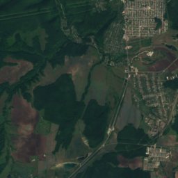
Samarskaya Luka National Park from above
Nature nearbyAll of Russia


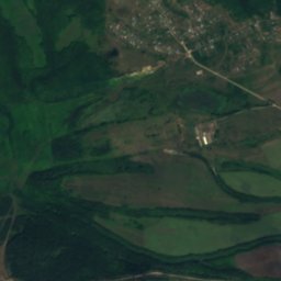
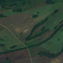
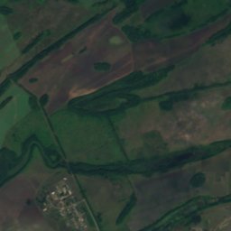
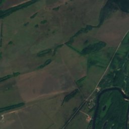
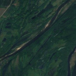
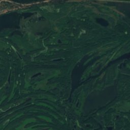
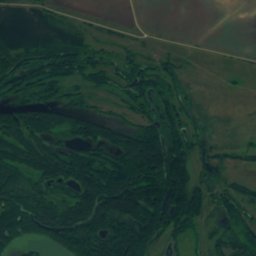
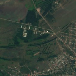
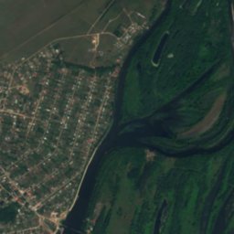
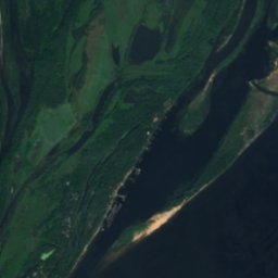
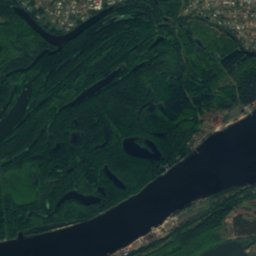
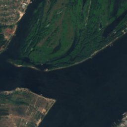
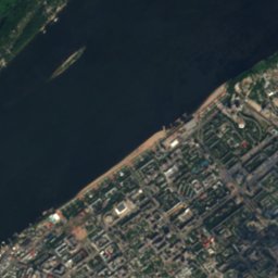
Satellite: Sentinel-2 cloudless 2016 by EOX IT Services GmbH · CC BY 4.0 · Contains modified Copernicus Sentinel data 2016
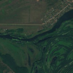
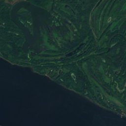
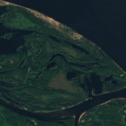
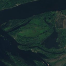
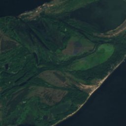
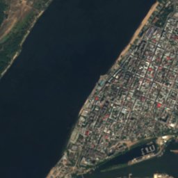
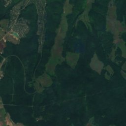
Satellite: Sentinel-2 cloudless 2016 by EOX IT Services GmbH · CC BY 4.0 · Contains modified Copernicus Sentinel data 2016
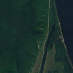
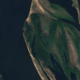
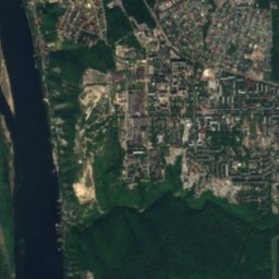
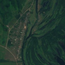
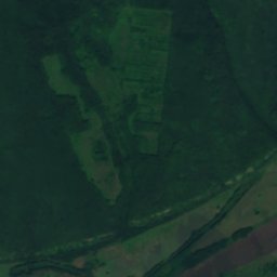
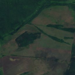
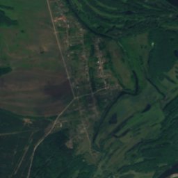
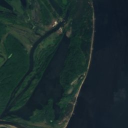
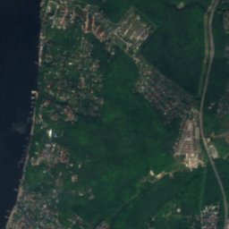
Satellite: Sentinel-2 cloudless 2016 by EOX IT Services GmbH · CC BY 4.0 · Contains modified Copernicus Sentinel data 2016
Summits nearbyMountains of Russia

Stay nearby
Towns close by
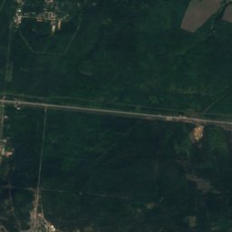
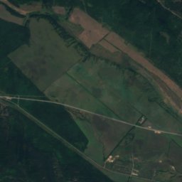
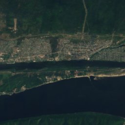
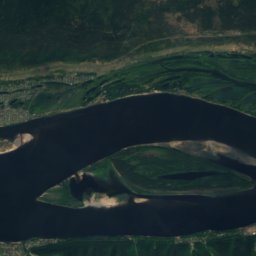
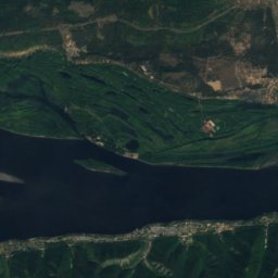
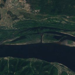
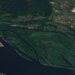
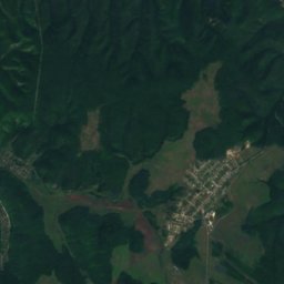
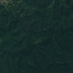
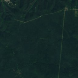
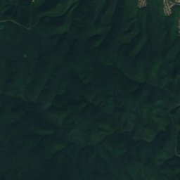
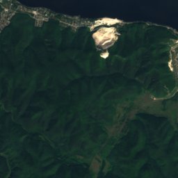
Satellite: Sentinel-2 cloudless 2016 by EOX IT Services GmbH · CC BY 4.0 · Contains modified Copernicus Sentinel data 2016
Zol’noye
Samara Oblast · 15 km N
9°Oct high
10wet days
26score
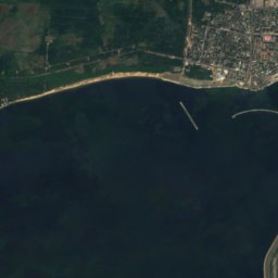
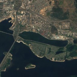
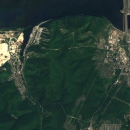
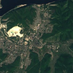
Satellite: Sentinel-2 cloudless 2016 by EOX IT Services GmbH · CC BY 4.0 · Contains modified Copernicus Sentinel data 2016
Bakhilovo
Samara Oblast · 17 km NW
8°Oct high
10wet days
25score


Around here
Zol’noye and around
Nature


Mountains
Heritage


Annunciation Monastery, Fëdorovka
regional cultural heritage site in Russia · 1846