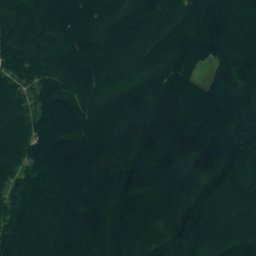

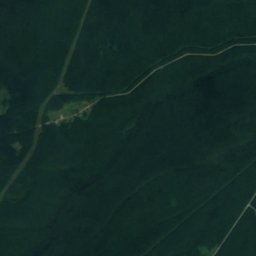
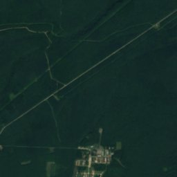
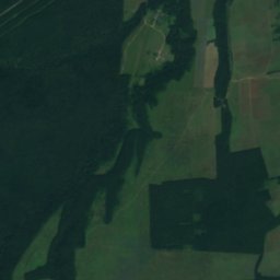
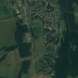
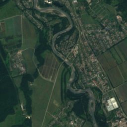
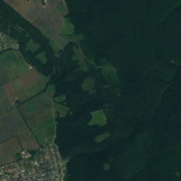


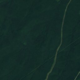
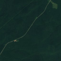
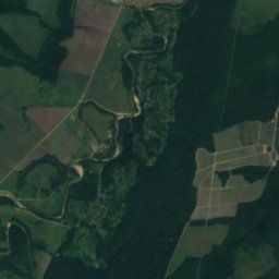
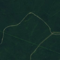

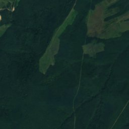
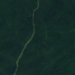

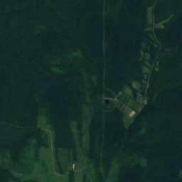
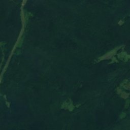


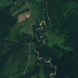
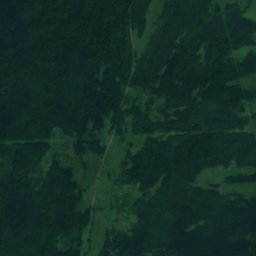
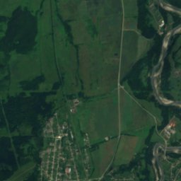
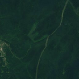

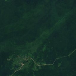
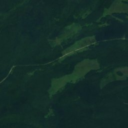
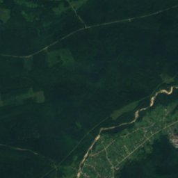
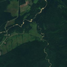
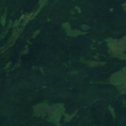
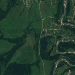
Satellite: Sentinel-2 cloudless 2016 by EOX IT Services GmbH · CC BY 4.0 · Contains modified Copernicus Sentinel data 2016
RiverTul’skiy, Adygeya Republic
Pratsyukha
RiverBest Jun · Sep–Oct
Elevation–above sea level
Length16 kmsource to mouth
Nearest townTul’skiy13 km
44.45° N, 40.05° EUTC+3 · Moscow Standard Time
When to goTul’skiy · weather score
Best timeJun · Sep–Oct
October: high / low18° / 7°
River
Pratsyukha in brief
Pratsyukha is a river in Tul’skiy, Adygeya Republic, Russia.
The nearest town is Tul’skiy, 13 km to the NE, where the weather is best in June, September and October.
Pratsyukha is 16 km long.
Weather nearby now
Forecast for Tul’skiy10°
Clear now
Today
25 Oct
21°
9°
Mon
26 Oct
23°
9°
Tue
27 Oct
24°
11°
Wed
28 Oct
23°
11°
Thu
29 Oct
21°
9°
Model run 12:00 UTCRefreshed several times a day
When to go
Climate of Tul’skiyThe best months around Pratsyukha
Month score in Tul’skiy
Comfort, dry days and sunshine · out of 10021
Jan
26
Feb
26
Mar
68
Apr
66
May
69
Jun
62
Jul
66
Aug
80
Sep
75
Oct
36
Nov
23
Dec
Map
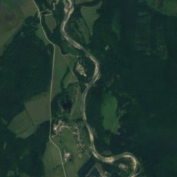
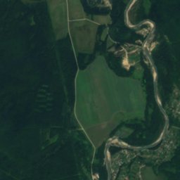
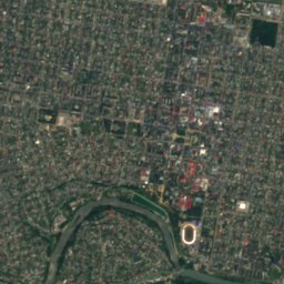
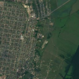
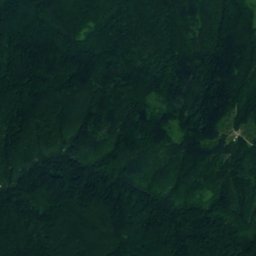
Pratsyukha from above
Nature nearbyAll of Russia
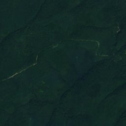

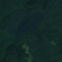
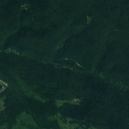
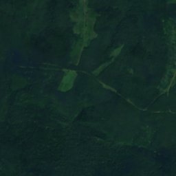
Satellite: Sentinel-2 cloudless 2016 by EOX IT Services GmbH · CC BY 4.0 · Contains modified Copernicus Sentinel data 2016
Satellite: Sentinel-2 cloudless 2016 by EOX IT Services GmbH · CC BY 4.0 · Contains modified Copernicus Sentinel data 2016
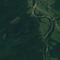
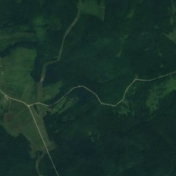
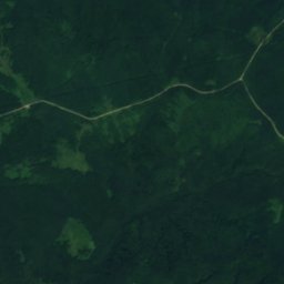
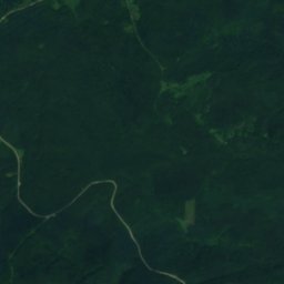
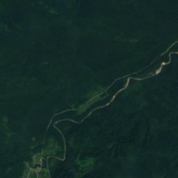
Satellite: Sentinel-2 cloudless 2016 by EOX IT Services GmbH · CC BY 4.0 · Contains modified Copernicus Sentinel data 2016
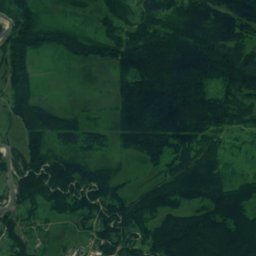
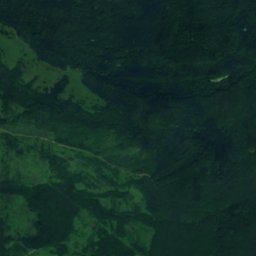
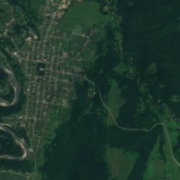
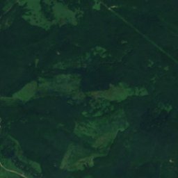
Satellite: Sentinel-2 cloudless 2016 by EOX IT Services GmbH · CC BY 4.0 · Contains modified Copernicus Sentinel data 2016
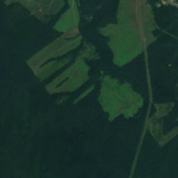
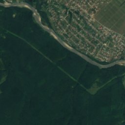
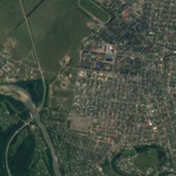
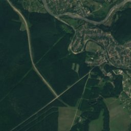
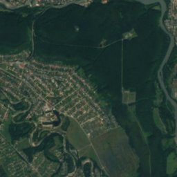
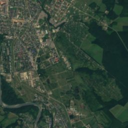
Satellite: Sentinel-2 cloudless 2016 by EOX IT Services GmbH · CC BY 4.0 · Contains modified Copernicus Sentinel data 2016
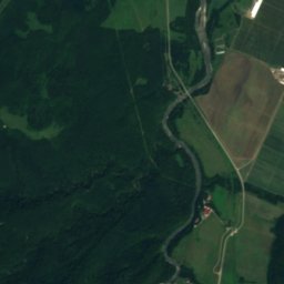
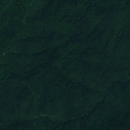
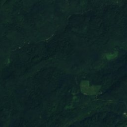
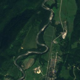
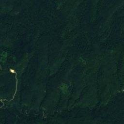
Satellite: Sentinel-2 cloudless 2016 by EOX IT Services GmbH · CC BY 4.0 · Contains modified Copernicus Sentinel data 2016
Stay nearby
Towns close by

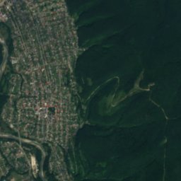
Photo: Nadezhda Stepanenko, Alexander Roumega · CC BY 4.0 · Wikimedia CommonsReport this photo · linked, not stored
Tul’skiy
Adygeya Republic · 13 km NE
18°Oct high
10wet days
75score

Photo: Знанибус at ru.wikipedia · Public domain · Wikimedia CommonsReport this photo · linked, not stored
Maykop
Adygeya Republic · 18 km N
19°Oct high
10wet days
76score

Photo: Знанибус at Russian Wikipedia · Public domain · Wikimedia CommonsReport this photo · linked, not stored
Kamennomostskiy
Adygeya Republic · 21 km SE
17°Oct high
11wet days
69score
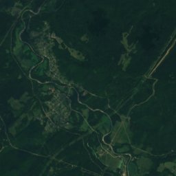
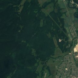
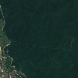
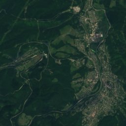
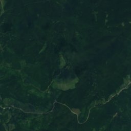
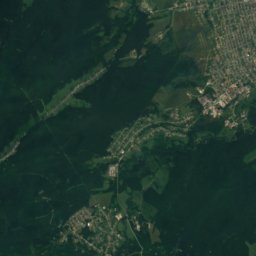
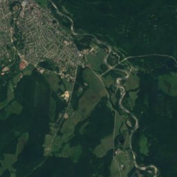
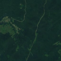
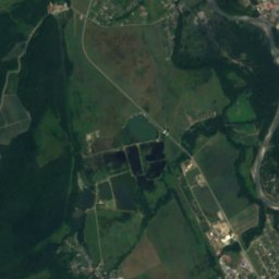
Satellite: Sentinel-2 cloudless 2016 by EOX IT Services GmbH · CC BY 4.0 · Contains modified Copernicus Sentinel data 2016
Apsheronsk
Krasnodar Krai · 25 km W
20°Oct high
11wet days
74score
Around here
Tul’skiy and around
Photo: Nadezhda Stepanenko, Alexander Roumega · CC BY 4.0 · Wikimedia CommonsReport this photo · linked, not stored
Tul’skiy
Adygeya Republic · Russia
Jun · Sep–Octbest months
29°July high
370 maltitude
Nature
Satellite: Sentinel-2 cloudless 2016 by EOX IT Services GmbH · CC BY 4.0 · Contains modified Copernicus Sentinel data 2016
Shentuk
River
Satellite: Sentinel-2 cloudless 2016 by EOX IT Services GmbH · CC BY 4.0 · Contains modified Copernicus Sentinel data 2016
Kuzhora
River
Satellite: Sentinel-2 cloudless 2016 by EOX IT Services GmbH · CC BY 4.0 · Contains modified Copernicus Sentinel data 2016
Luchka, Adygeya Republic
River
Heritage
Satellite: Sentinel-2 cloudless 2016 by EOX IT Services GmbH · CC BY 4.0 · Contains modified Copernicus Sentinel data 2016
Holy Resurection Church
regional cultural heritage site in Russia · 1912
Photo: Знанибус at ru.wikipedia · Public domain · Wikimedia CommonsReport this photo · linked, not stored
Maikop railway station
regional cultural heritage site in Russia
Satellite: Sentinel-2 cloudless 2016 by EOX IT Services GmbH · CC BY 4.0 · Contains modified Copernicus Sentinel data 2016
Maikop kurgan
regional cultural heritage site in Russia
Museums



Satellite: Sentinel-2 cloudless 2016 by EOX IT Services GmbH · CC BY 4.0 · Contains modified Copernicus Sentinel data 2016
Nat︠s︡ionalʹnyĭ muzeĭ Respubliki Adygei︠a︡
1926