

Photo: Avsolov · CC BY-SA 4.0 · Wikimedia Commons
Vodla, KareliaReport this photo · linked, not stored
Vodla, KareliaVodla, KareliaReport this photo · linked, not stored
LakeShal’skiy, Karelia
Lake Onega
Lake33 m elevationBest Jun–Aug
Elevation33 mabove sea level
Area9,800 km²surface
Nearest townShal’skiy22 km
61.69° N, 35.66° EElevation 33 mUTC+3 · Moscow Standard Time
When to goShal’skiy · weather score
Best timeJun–Aug
October: high / low7° / 3°
Lake
Lake Onega in brief
Lake Onega is a lake in Shal’skiy, Karelia, Russia.
It lies at 33 m above sea level and covers about 9,800 km².
The nearest town in the atlas is Shal’skiy, 22 km to the NE, where the weather is best in June, July and August.
Weather nearby now
Forecast for Shal’skiy8°
Sunny now
Today
22 Oct
9°
3°
Fri
23 Oct
6°
3°
1 mm
Sat
24 Oct
9°
4°
Sun
25 Oct
9°
6°
Mon
26 Oct
10°
8°
Model run 00:00 UTCRefreshed several times a day
The lake's water
Surface, average depth and volume of the lake, and the length of its shore.Surface9,800 km²
Average depth26 m
Volume262 km³
Shoreline2,414 km
When to go
Climate of Shal’skiyThe best months around Lake Onega
Month score in Shal’skiy
Comfort, dry days and sunshine · out of 10010
Jan
13
Feb
17
Mar
19
Apr
22
May
52
Jun
65
Jul
62
Aug
37
Sep
13
Oct
8
Nov
8
Dec
Map
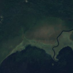
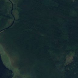
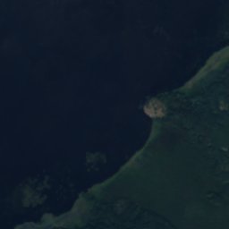
Lake Onega from above
Nature nearbyAll of Russia


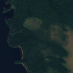
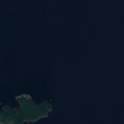
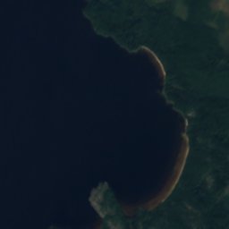
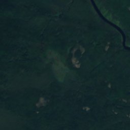
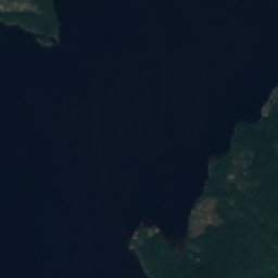
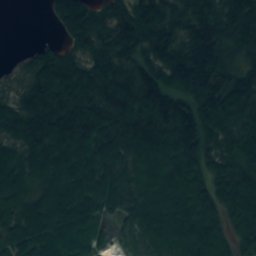
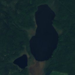
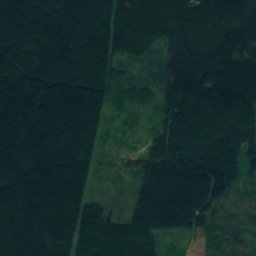
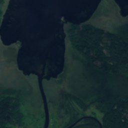
Satellite: Sentinel-2 cloudless 2016 by EOX IT Services GmbH · CC BY 4.0 · Contains modified Copernicus Sentinel data 2016
Around here
Shal’skiy and around

Nature

Heritage














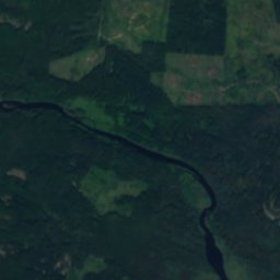
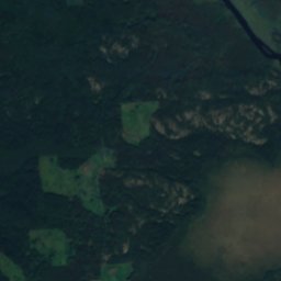
Satellite: Sentinel-2 cloudless 2016 by EOX IT Services GmbH · CC BY 4.0 · Contains modified Copernicus Sentinel data 2016
Petroglyphs of Lake Onega and the White Sea
World Heritage Site













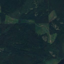
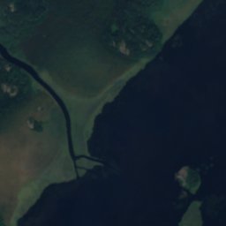
Satellite: Sentinel-2 cloudless 2016 by EOX IT Services GmbH · CC BY 4.0 · Contains modified Copernicus Sentinel data 2016
Onega petroglyphs
federal cultural heritage site in Russia · 3000 BC