
LakeShunga, Karelia
Kosmozero
Lake28 m elevationBest Jun–Aug
Elevation28 mabove sea level
Area21 km²surface
Nearest townShunga24 km
62.38° N, 35.00° EElevation 28 mUTC+3 · Moscow Standard Time
When to goShunga · weather score
Best timeJun–Aug
October: high / low6° / 3°
Lake
Kosmozero in brief
Kosmozero is a lake in Shunga, Karelia, Russia.
It lies at 28 m above sea level and covers about 21 km².
The nearest town is Shunga, 24 km to the N, where the weather is best in June, July and August.
Weather nearby now
Forecast for Shunga8°
Cloudy now
Today
28 Oct
9°
6°
Thu
29 Oct
7°
5°
Fri
30 Oct
8°
6°
8 mm
Sat
31 Oct
7°
4°
2 mm
Sun
1 Nov
6°
3°
Model run 12:00 UTCRefreshed several times a day
The lake's water
Surface, average depth and volume of the lake, and the length of its shore.Surface21 km²
Average depth12 m
Volume199 million m³
Shoreline57 km
When to go
Climate of ShungaThe best months around Kosmozero
Month score in Shunga
Comfort, dry days and sunshine · out of 10010
Jan
15
Feb
18
Mar
19
Apr
22
May
57
Jun
64
Jul
61
Aug
31
Sep
12
Oct
8
Nov
8
Dec
Map
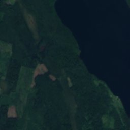
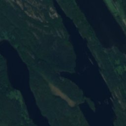
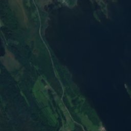
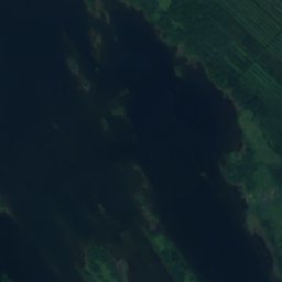
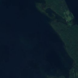
Kosmozero from above
Nature nearbyAll of Russia
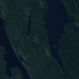
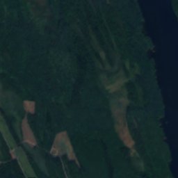
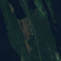
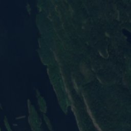
Satellite: Sentinel-2 cloudless 2016 by EOX IT Services GmbH · CC BY 4.0 · Contains modified Copernicus Sentinel data 2016
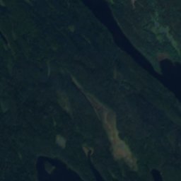
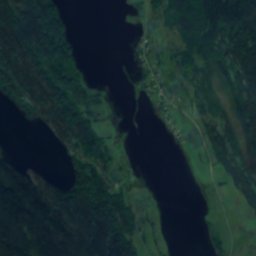
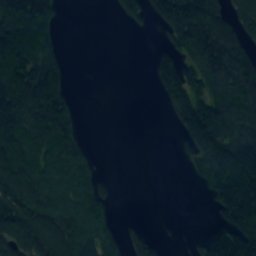
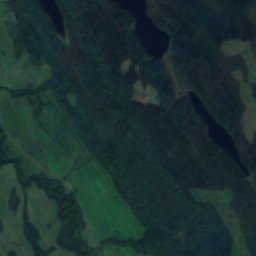
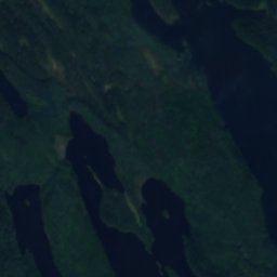
Satellite: Sentinel-2 cloudless 2016 by EOX IT Services GmbH · CC BY 4.0 · Contains modified Copernicus Sentinel data 2016
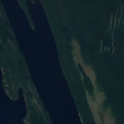
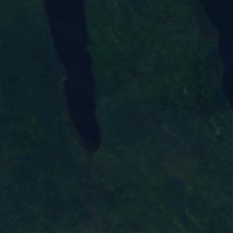
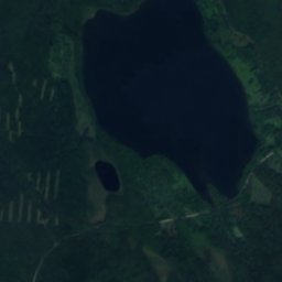
Satellite: Sentinel-2 cloudless 2016 by EOX IT Services GmbH · CC BY 4.0 · Contains modified Copernicus Sentinel data 2016
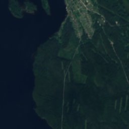
Satellite: Sentinel-2 cloudless 2016 by EOX IT Services GmbH · CC BY 4.0 · Contains modified Copernicus Sentinel data 2016
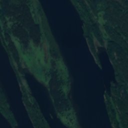
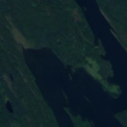
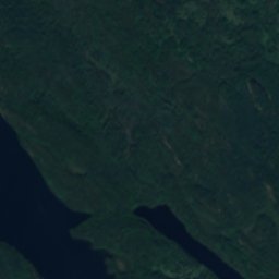
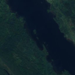
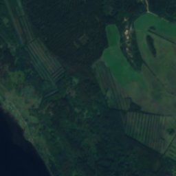
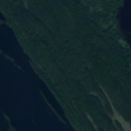
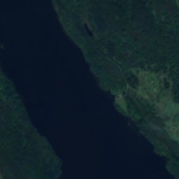
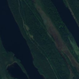
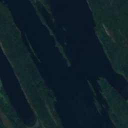
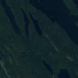
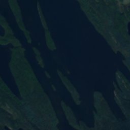
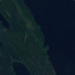
Satellite: Sentinel-2 cloudless 2016 by EOX IT Services GmbH · CC BY 4.0 · Contains modified Copernicus Sentinel data 2016
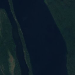
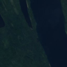
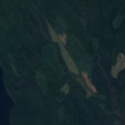
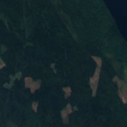
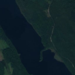
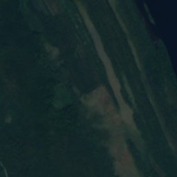
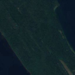
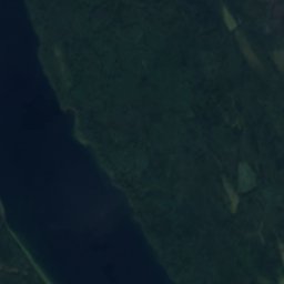
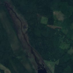
Satellite: Sentinel-2 cloudless 2016 by EOX IT Services GmbH · CC BY 4.0 · Contains modified Copernicus Sentinel data 2016
Around here
Shunga and around

Nature

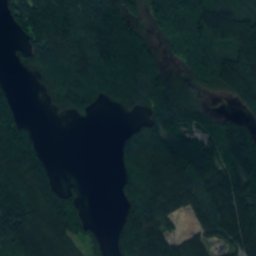
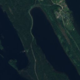
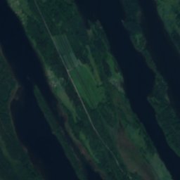
Satellite: Sentinel-2 cloudless 2016 by EOX IT Services GmbH · CC BY 4.0 · Contains modified Copernicus Sentinel data 2016
Vanchozero, Karelia
Lake · 12 m
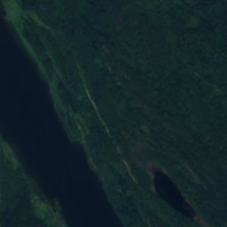
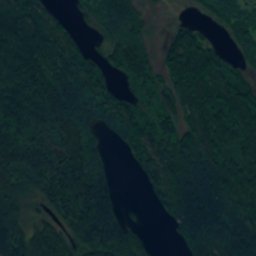
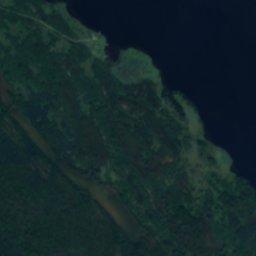
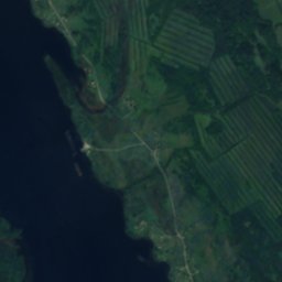


Satellite: Sentinel-2 cloudless 2016 by EOX IT Services GmbH · CC BY 4.0 · Contains modified Copernicus Sentinel data 2016
Chuzhmozero
Lake · 46 m
Heritage


Saint Barbara Chapel in Chasovenskaya
federal cultural heritage site in Russia · 1750


Saint George Chapel, Keftenitsy
federal cultural heritage site in Russia · 1601

Photo: Гордиенко Анатолий Васильевич · CC BY-SA 4.0 · Wikimedia CommonsReport this photo · linked, not stored

Chapel of Saint Michael the Archangel, Payanitsy
federal cultural heritage site in Russia