
 Agura

Photo: Alexander V. Solomin · Public domain · Wikimedia Commons
MatsestaReport this photo · linked, not stored
MatsestaMatsestaReport this photo · linked, not stored

Photo: Alexander V. Solomin · CC0 · Wikimedia Commons
Agura WaterfallsReport this photo · linked, not stored
Agura WaterfallsAgura WaterfallsReport this photo · linked, not stored

Photo: Sergei Kazantsev · CC BY-SA 4.0 · Wikimedia Commons
KudepstaReport this photo · linked, not stored
KudepstaKudepstaReport this photo · linked, not stored
RiverKhosta, Krasnodar Krai
Khosta
RiverBest May · Sep–Oct
Elevation–above sea level
Length4.5 kmsource to mouth
Nearest townKhosta6.3 km
43.51° N, 39.79° EUTC+3 · Moscow Standard Time
When to goKhosta · weather score
Best timeMay · Sep–Oct
October: high / low21° / 14°
River
Khosta in brief
Khosta is a river in Khosta, Krasnodar Krai, Russia.
The nearest town in the atlas is Khosta, 6.3 km to the E, where the weather is best in May, September and October.
Khosta is 4.5 km long.
Weather nearby now
Forecast for Khosta18°
Cloudy now
Today
22 Oct
21°
15°
1 mm
Fri
23 Oct
21°
12°
Sat
24 Oct
24°
13°
Sun
25 Oct
22°
14°
Mon
26 Oct
23°
13°
Model run 00:00 UTCRefreshed several times a day
Map
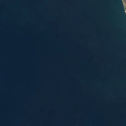
Khosta from above
Nature nearbyAll of Russia


Photo: Alexander V. Solomin · Public domain · Wikimedia CommonsReport this photo · linked, not stored

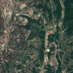
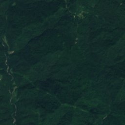
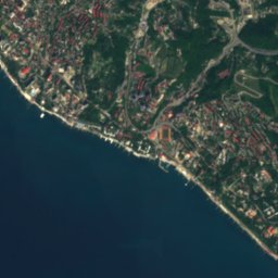
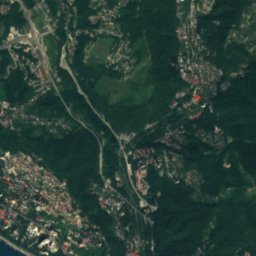
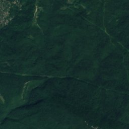
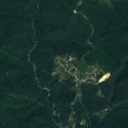
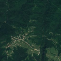

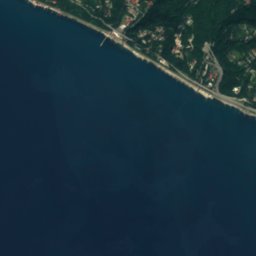
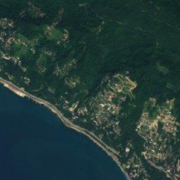
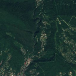
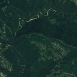
Satellite: Sentinel-2 cloudless 2016 by EOX IT Services GmbH · CC BY 4.0 · Contains modified Copernicus Sentinel data 2016

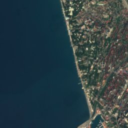

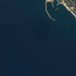


Satellite: Sentinel-2 cloudless 2016 by EOX IT Services GmbH · CC BY 4.0 · Contains modified Copernicus Sentinel data 2016

Summits nearbyMountains of Russia

Photo: Alexander V. Solomin · Public domain · Wikimedia CommonsReport this photo · linked, not stored
Stay nearby
Towns close by


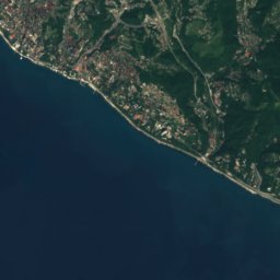
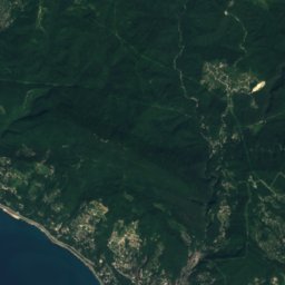
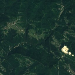
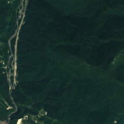


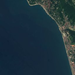
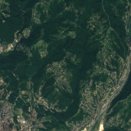
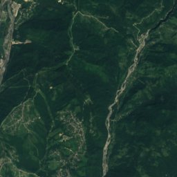


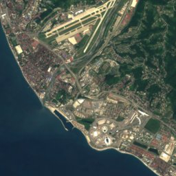
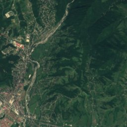
Satellite: Sentinel-2 cloudless 2016 by EOX IT Services GmbH · CC BY 4.0 · Contains modified Copernicus Sentinel data 2016
Orël-Izumrud
Krasnodar Krai · 12 km SE
21°Oct high
12wet days
73score
Around here
Khosta and around
Nature


Photo: Alexander V. Solomin · Public domain · Wikimedia CommonsReport this photo · linked, not stored
Matsesta
River
Mountains
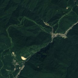
Satellite: Sentinel-2 cloudless 2016 by EOX IT Services GmbH · CC BY 4.0 · Contains modified Copernicus Sentinel data 2016
Akh-Ag
2,732 m · Gagra Range
Satellite: Sentinel-2 cloudless 2016 by EOX IT Services GmbH · CC BY 4.0 · Contains modified Copernicus Sentinel data 2016
Akhagi
2,732 m · Gagra Range

Photo: Дмитрий Гришин Original uploader was Ukko at ru.wikipedia · CC BY-SA 3.0 · Wikimedia CommonsReport this photo · linked, not stored
Aibiga Ridge
2,509 m · Greater Caucasus
Heritage

Yew-tree and Boxwood Tree Grove
regional cultural heritage site in Russia · 1930



Satellite: Sentinel-2 cloudless 2016 by EOX IT Services GmbH · CC BY 4.0 · Contains modified Copernicus Sentinel data 2016
Храм Преображения Господня (Сочи)
regional cultural heritage site in Russia · 1914

Museums

Museum of the History of the Resort City of Sochi
Local museum · 1920




Satellite: Sentinel-2 cloudless 2016 by EOX IT Services GmbH · CC BY 4.0 · Contains modified Copernicus Sentinel data 2016
Музей природы
1998