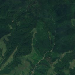
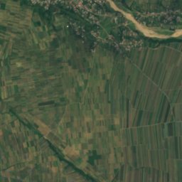
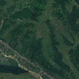
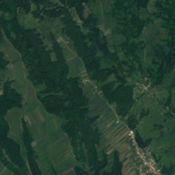
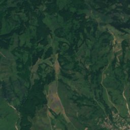
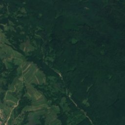
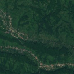
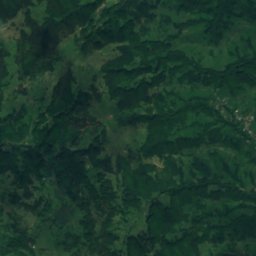
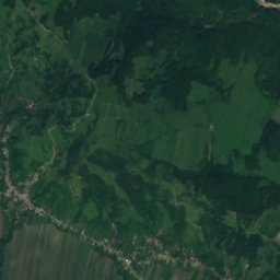
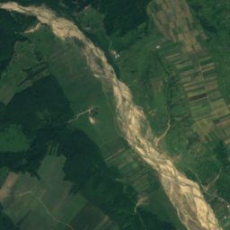
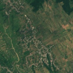
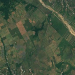
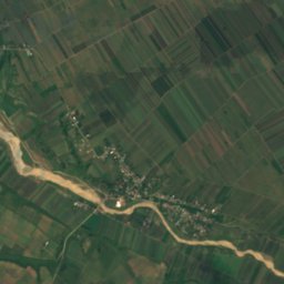
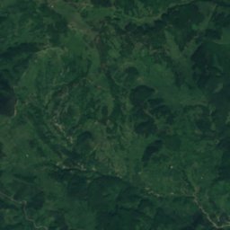
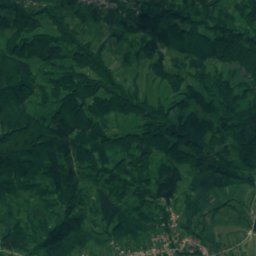
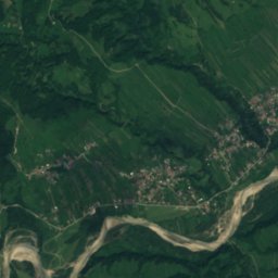
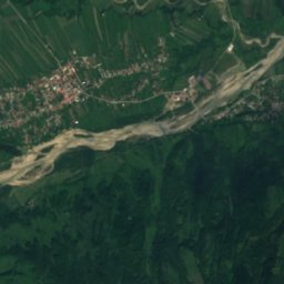
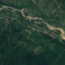
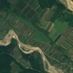
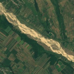
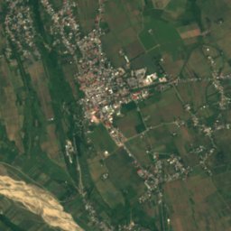
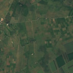
Satellite: Sentinel-2 cloudless 2016 by EOX IT Services GmbH · CC BY 4.0 · Contains modified Copernicus Sentinel data 2016
RiverRăcoasa, Vrancea
Ernatica River
RiverBest May · Aug–Sep
Elevation–above sea level
Area–surface
Nearest townRăcoasa8.6 km
45.95° N, 26.97° EUTC+2 · Eastern European Standard Time
When to goRăcoasa · weather score
Best timeMay · Aug–Sep
October: high / low16° / 5°
River
Ernatica River in brief
Ernatica River is a river in Răcoasa, Vrancea, Romania.
The nearest town is Răcoasa, 8.6 km to the NW, where the weather is best in May, August and September.
Weather nearby now
Forecast for Răcoasa10°
Cloudy now
Today
31 Oct
12°
6°
1 mm
Sun
1 Nov
12°
7°
Mon
2 Nov
9°
5°
3 mm
Tue
3 Nov
8°
6°
3 mm
Wed
4 Nov
8°
3°
Model run 00:00 UTCRefreshed several times a day
When to go
Climate of RăcoasaThe best months around Ernatica River
Month score in Răcoasa
Comfort, dry days and sunshine · out of 10039
Jan
39
Feb
35
Mar
63
Apr
71
May
70
Jun
66
Jul
73
Aug
80
Sep
67
Oct
32
Nov
33
Dec
Map
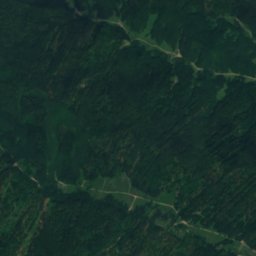
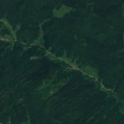
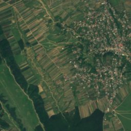
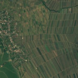
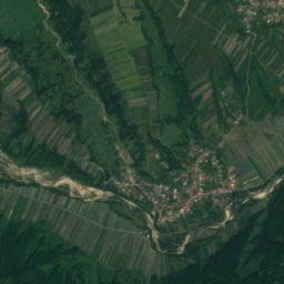
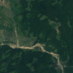
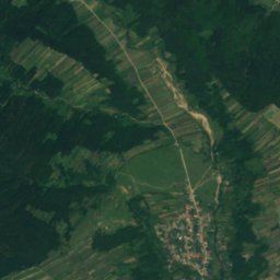
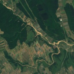
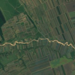
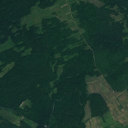
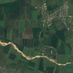
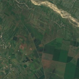
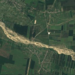
Ernatica River from above
Nature nearbyAll of Romania
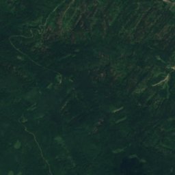
Satellite: Sentinel-2 cloudless 2016 by EOX IT Services GmbH · CC BY 4.0 · Contains modified Copernicus Sentinel data 2016
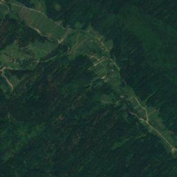
Satellite: Sentinel-2 cloudless 2016 by EOX IT Services GmbH · CC BY 4.0 · Contains modified Copernicus Sentinel data 2016
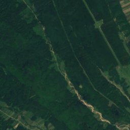
Satellite: Sentinel-2 cloudless 2016 by EOX IT Services GmbH · CC BY 4.0 · Contains modified Copernicus Sentinel data 2016
Satellite: Sentinel-2 cloudless 2016 by EOX IT Services GmbH · CC BY 4.0 · Contains modified Copernicus Sentinel data 2016
Satellite: Sentinel-2 cloudless 2016 by EOX IT Services GmbH · CC BY 4.0 · Contains modified Copernicus Sentinel data 2016
Satellite: Sentinel-2 cloudless 2016 by EOX IT Services GmbH · CC BY 4.0 · Contains modified Copernicus Sentinel data 2016
Stay nearby
Towns close by


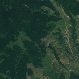
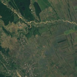
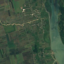
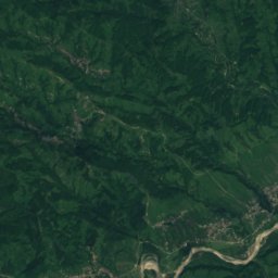
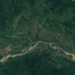
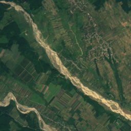
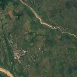
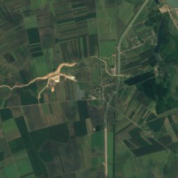
Around here
Răcoasa and around
Nature
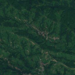
Satellite: Sentinel-2 cloudless 2016 by EOX IT Services GmbH · CC BY 4.0 · Contains modified Copernicus Sentinel data 2016
Alba River
River
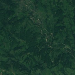
Satellite: Sentinel-2 cloudless 2016 by EOX IT Services GmbH · CC BY 4.0 · Contains modified Copernicus Sentinel data 2016
Varnița River, Vrancea
River
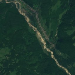
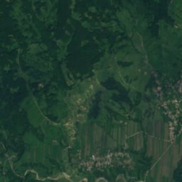
Satellite: Sentinel-2 cloudless 2016 by EOX IT Services GmbH · CC BY 4.0 · Contains modified Copernicus Sentinel data 2016
Aluna River
River


