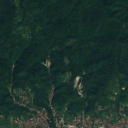
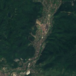
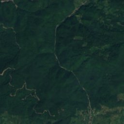
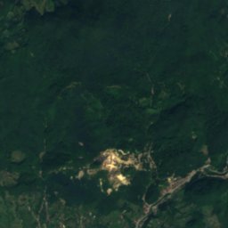
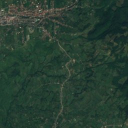
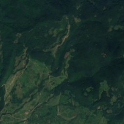
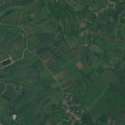
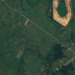
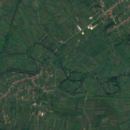
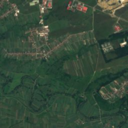
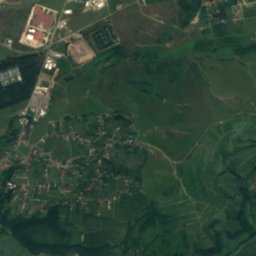
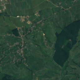
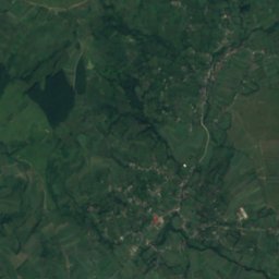
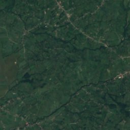
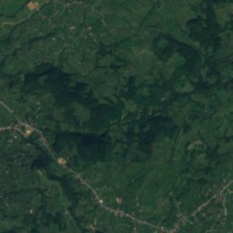
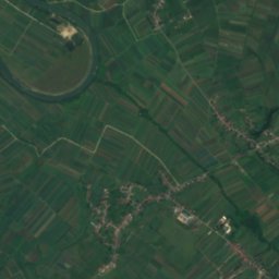
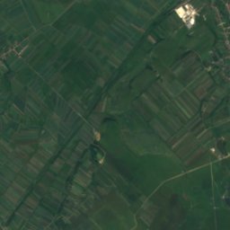
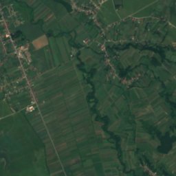
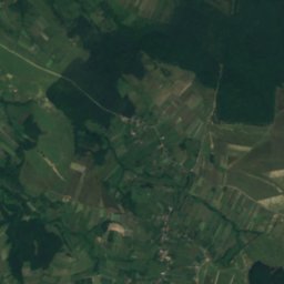
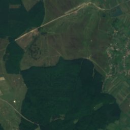
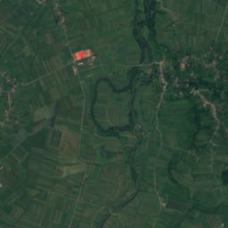
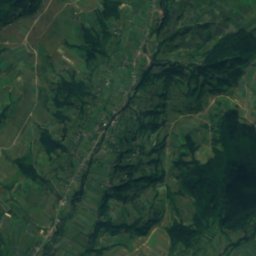
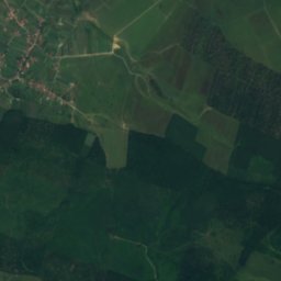
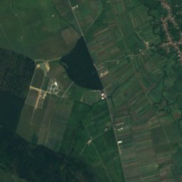
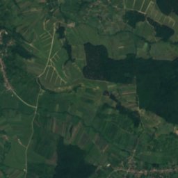
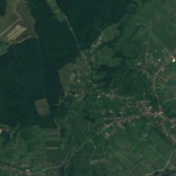
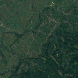
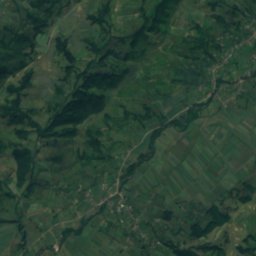
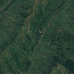
Satellite: Sentinel-2 cloudless 2016 by EOX IT Services GmbH · CC BY 4.0 · Contains modified Copernicus Sentinel data 2016
RiverSatu Nou de Jos, Maramureş
Chechișel River
RiverBest Apr–May · Sep
Elevation–above sea level
Area–surface
Nearest townSatu Nou de Jos3.3 km
47.59° N, 23.58° EUTC+2 · Eastern European Standard Time
When to goSatu Nou de Jos · weather score
Best timeApr–May · Sep
October: high / low16° / 7°
River
Chechișel River in brief
Chechișel River is a river in Satu Nou de Jos, Maramureş, Romania.
The nearest town is Satu Nou de Jos, 3.3 km to the N, where the weather is best in April, May and September.
Weather nearby now
Forecast for Satu Nou de Jos8°
Cloudy now
Today
25 Oct
18°
7°
Mon
26 Oct
12°
7°
4 mm
Tue
27 Oct
15°
7°
6 mm
Wed
28 Oct
18°
9°
Thu
29 Oct
16°
8°
1 mm
Model run 12:00 UTCRefreshed several times a day
When to go
Climate of Satu Nou de JosThe best months around Chechișel River
Month score in Satu Nou de Jos
Comfort, dry days and sunshine · out of 10017
Jan
23
Feb
33
Mar
64
Apr
65
May
64
Jun
58
Jul
64
Aug
72
Sep
64
Oct
21
Nov
20
Dec
Map
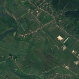
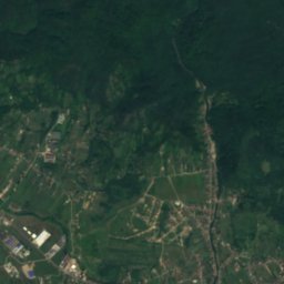
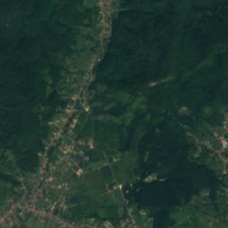
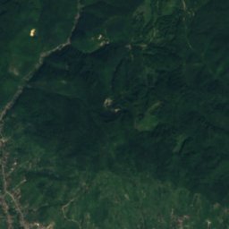
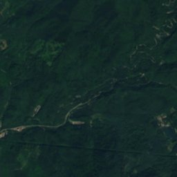
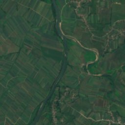
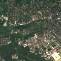
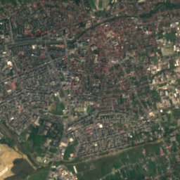
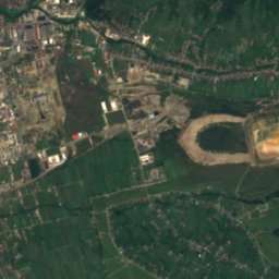
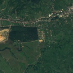
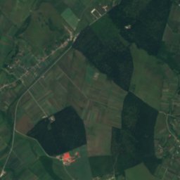
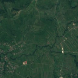
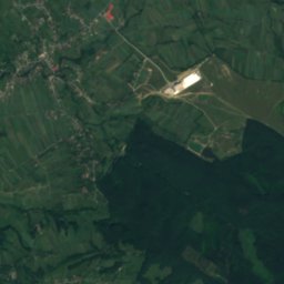
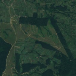
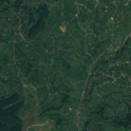
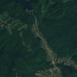
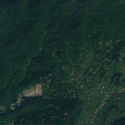
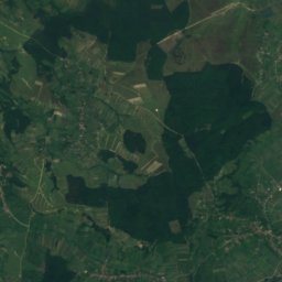
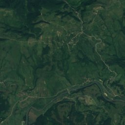
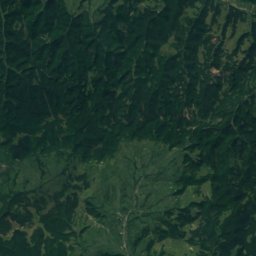
Chechișel River from above
Nature nearbyAll of Romania
Satellite: Sentinel-2 cloudless 2016 by EOX IT Services GmbH · CC BY 4.0 · Contains modified Copernicus Sentinel data 2016
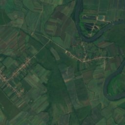
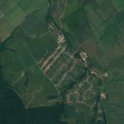
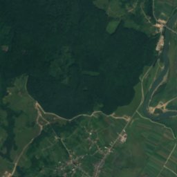
Satellite: Sentinel-2 cloudless 2016 by EOX IT Services GmbH · CC BY 4.0 · Contains modified Copernicus Sentinel data 2016
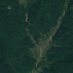
Satellite: Sentinel-2 cloudless 2016 by EOX IT Services GmbH · CC BY 4.0 · Contains modified Copernicus Sentinel data 2016
Satellite: Sentinel-2 cloudless 2016 by EOX IT Services GmbH · CC BY 4.0 · Contains modified Copernicus Sentinel data 2016
Satellite: Sentinel-2 cloudless 2016 by EOX IT Services GmbH · CC BY 4.0 · Contains modified Copernicus Sentinel data 2016
Satellite: Sentinel-2 cloudless 2016 by EOX IT Services GmbH · CC BY 4.0 · Contains modified Copernicus Sentinel data 2016
Stay nearby
Towns close by
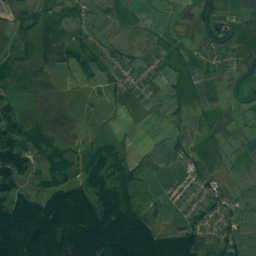
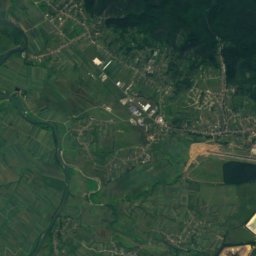
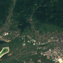
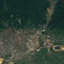
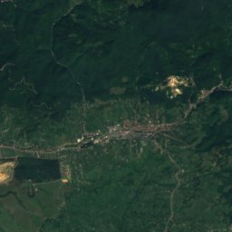
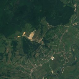
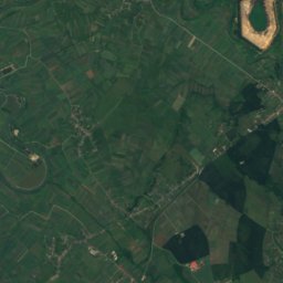
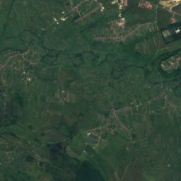
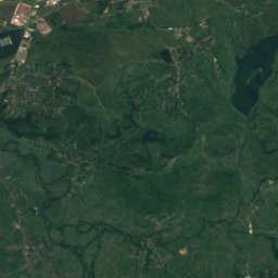
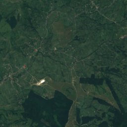
Satellite: Sentinel-2 cloudless 2016 by EOX IT Services GmbH · CC BY 4.0 · Contains modified Copernicus Sentinel data 2016
Satu Nou de Jos
Maramureş · 3.3 km N
16°Oct high
10wet days
64score
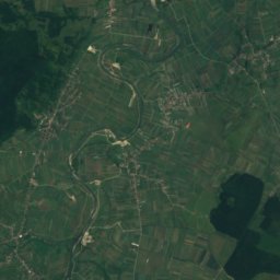
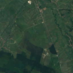
Satellite: Sentinel-2 cloudless 2016 by EOX IT Services GmbH · CC BY 4.0 · Contains modified Copernicus Sentinel data 2016
Coltău
Maramureş · 4.3 km W
17°Oct high
10wet days
67score
Satellite: Sentinel-2 cloudless 2016 by EOX IT Services GmbH · CC BY 4.0 · Contains modified Copernicus Sentinel data 2016
Groși
Maramureş · 4.3 km NE
16°Oct high
10wet days
63score

Around here
Satu Nou de Jos and around
Satellite: Sentinel-2 cloudless 2016 by EOX IT Services GmbH · CC BY 4.0 · Contains modified Copernicus Sentinel data 2016
Satu Nou de Jos
Maramureş · Romania
Apr–May · Sepbest months
27°July high
233 maltitude
Nature

Satellite: Sentinel-2 cloudless 2016 by EOX IT Services GmbH · CC BY 4.0 · Contains modified Copernicus Sentinel data 2016
Firiza River
River · 242 m
Satellite: Sentinel-2 cloudless 2016 by EOX IT Services GmbH · CC BY 4.0 · Contains modified Copernicus Sentinel data 2016
Craica River
River
Mountains
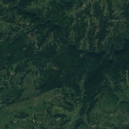
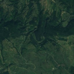
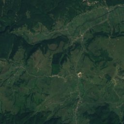
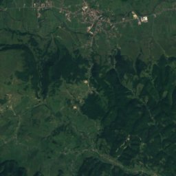
Satellite: Sentinel-2 cloudless 2016 by EOX IT Services GmbH · CC BY 4.0 · Contains modified Copernicus Sentinel data 2016
Dealul Vimii
728 m
Heritage

Assumption of Mary Cathedral, Baia Mare
Historic Monument · 1905

Church of the Archangels Michael and Gabriel, Șurdești
part of UNESCO World Heritage Site

Museums
Satellite: Sentinel-2 cloudless 2016 by EOX IT Services GmbH · CC BY 4.0 · Contains modified Copernicus Sentinel data 2016
Grigore Cobălcescu Museum of Mineralogy and Petrography


Satellite: Sentinel-2 cloudless 2016 by EOX IT Services GmbH · CC BY 4.0 · Contains modified Copernicus Sentinel data 2016
Muzeul Memorial „Petöfi Sándor”


Baia Mare Ethnography and Folk Art Museum
Ethnographic museum · 1977