Nature
Waters, ice and wild places of Republic of the Congo
Lakes, waterfalls, glaciers, national parks and mountain huts, each with its location, its size and the weather of the towns around it.
Lakes22with a page
Waterfalls1with a page
Beaches2with a page
Islands11with a page

Lakes
Lakes of Republic of the Congo

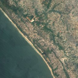
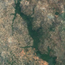
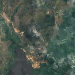
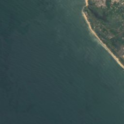
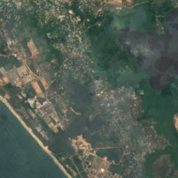
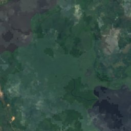
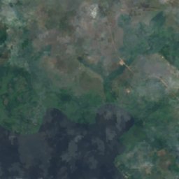
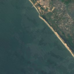
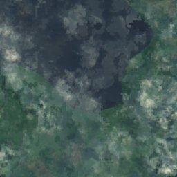
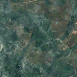
Satellite: Sentinel-2 cloudless 2016 by EOX IT Services GmbH · CC BY 4.0 · Contains modified Copernicus Sentinel data 2016
Lac Kayo
Pointe-Noire, Pointe-Noire
3 m
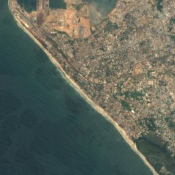
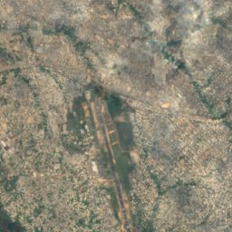
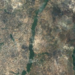
Satellite: Sentinel-2 cloudless 2016 by EOX IT Services GmbH · CC BY 4.0 · Contains modified Copernicus Sentinel data 2016
Lac Nanga, Pointe-Noire
Pointe-Noire, Pointe-Noire
Satellite: Sentinel-2 cloudless 2016 by EOX IT Services GmbH · CC BY 4.0 · Contains modified Copernicus Sentinel data 2016
Batsuongo
Mvouti, Kouilou
318 m
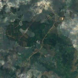
Satellite: Sentinel-2 cloudless 2016 by EOX IT Services GmbH · CC BY 4.0 · Contains modified Copernicus Sentinel data 2016
Lac Bindi
Hinda, Kouilou
9 m
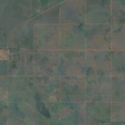
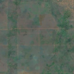
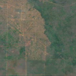
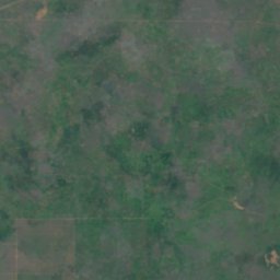
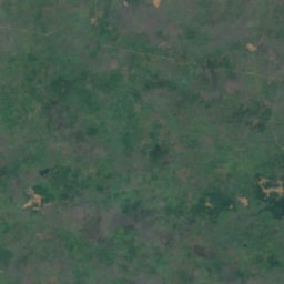
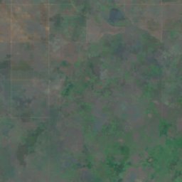
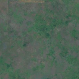
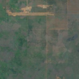
Satellite: Sentinel-2 cloudless 2016 by EOX IT Services GmbH · CC BY 4.0 · Contains modified Copernicus Sentinel data 2016
Lac Kongo
Madingou, Bouenza
165 m
Satellite: Sentinel-2 cloudless 2016 by EOX IT Services GmbH · CC BY 4.0 · Contains modified Copernicus Sentinel data 2016
Lac Libala
Mossaka, Cuvette
291 m
Satellite: Sentinel-2 cloudless 2016 by EOX IT Services GmbH · CC BY 4.0 · Contains modified Copernicus Sentinel data 2016
Lac Malosa
Madingou, Bouenza
165 m
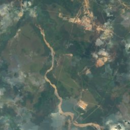
Satellite: Sentinel-2 cloudless 2016 by EOX IT Services GmbH · CC BY 4.0 · Contains modified Copernicus Sentinel data 2016
Lac Mbouda
Hinda, Kouilou
44 m
Waterfalls
Waterfalls of Republic of the Congo

Beaches
Beaches of Republic of the Congo

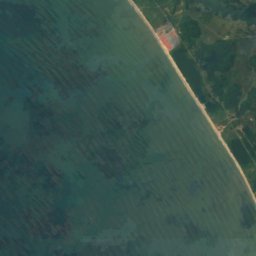
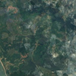



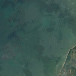
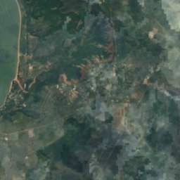



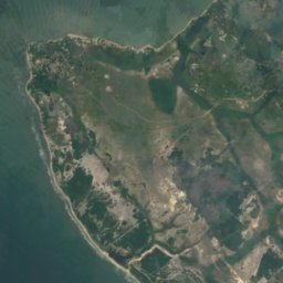
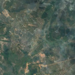
Satellite: Sentinel-2 cloudless 2016 by EOX IT Services GmbH · CC BY 4.0 · Contains modified Copernicus Sentinel data 2016
Cape Indienne, Congo
Loandjili, Pointe-Noire
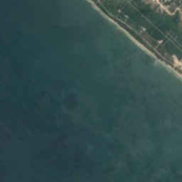
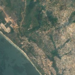

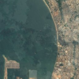
Satellite: Sentinel-2 cloudless 2016 by EOX IT Services GmbH · CC BY 4.0 · Contains modified Copernicus Sentinel data 2016
Plage Mondaine
Loandjili, Pointe-Noire
5 m
Islands
Islands of Republic of the Congo
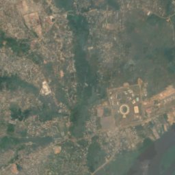
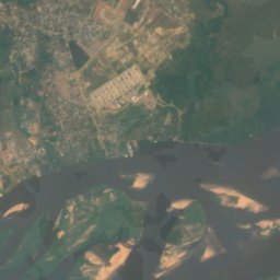
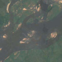
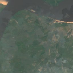
Satellite: Sentinel-2 cloudless 2016 by EOX IT Services GmbH · CC BY 4.0 · Contains modified Copernicus Sentinel data 2016
Mbamu
Brazzaville, Brazzaville
Satellite: Sentinel-2 cloudless 2016 by EOX IT Services GmbH · CC BY 4.0 · Contains modified Copernicus Sentinel data 2016
Banc Songolo
Loandjili, Pointe-Noire
Satellite: Sentinel-2 cloudless 2016 by EOX IT Services GmbH · CC BY 4.0 · Contains modified Copernicus Sentinel data 2016
Banc de l'Astrolabe
Loandjili, Pointe-Noire


Satellite: Sentinel-2 cloudless 2016 by EOX IT Services GmbH · CC BY 4.0 · Contains modified Copernicus Sentinel data 2016
Banc de la Pointe
Pointe-Noire, Pointe-Noire
Satellite: Sentinel-2 cloudless 2016 by EOX IT Services GmbH · CC BY 4.0 · Contains modified Copernicus Sentinel data 2016
Banc de la Syzygie
Pointe-Noire, Pointe-Noire
Satellite: Sentinel-2 cloudless 2016 by EOX IT Services GmbH · CC BY 4.0 · Contains modified Copernicus Sentinel data 2016
Banc des Anglais
Loandjili, Pointe-Noire

Satellite: Sentinel-2 cloudless 2016 by EOX IT Services GmbH · CC BY 4.0 · Contains modified Copernicus Sentinel data 2016
Banc du Conflict
Loandjili, Pointe-Noire
Satellite: Sentinel-2 cloudless 2016 by EOX IT Services GmbH · CC BY 4.0 · Contains modified Copernicus Sentinel data 2016
Banc du Sagittaire
Loandjili, Pointe-Noire
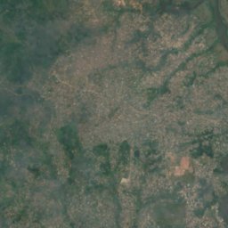
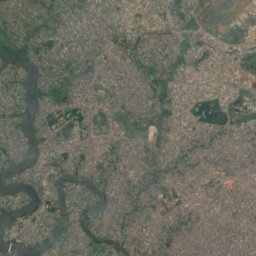
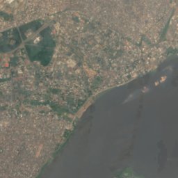
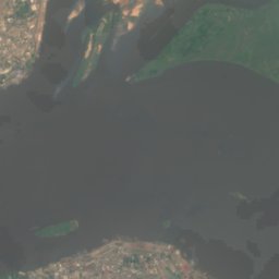
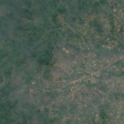
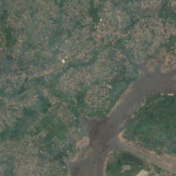
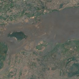
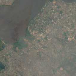
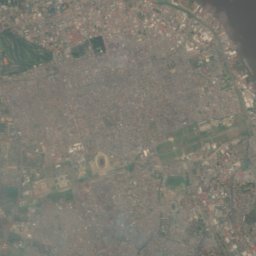
Satellite: Sentinel-2 cloudless 2016 by EOX IT Services GmbH · CC BY 4.0 · Contains modified Copernicus Sentinel data 2016
Ile des Mimosa
Brazzaville, Brazzaville
247 m
Rivers
Rivers of Republic of the Congo


Photo: Krissima POBA NGOUMA · CC BY-SA 4.0 · Wikimedia CommonsReport this photo · linked, not stored
Djoué
Brazzaville, Brazzaville
255 m

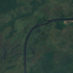
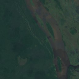
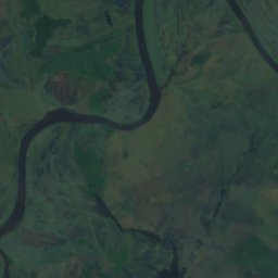
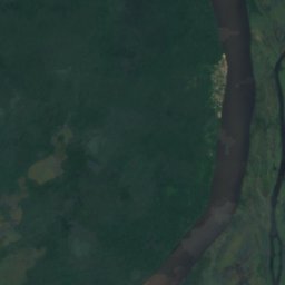
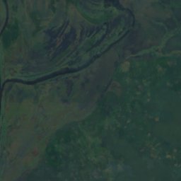
Satellite: Sentinel-2 cloudless 2016 by EOX IT Services GmbH · CC BY 4.0 · Contains modified Copernicus Sentinel data 2016
Likouala aux Herbes
Loukoléla, Cuvette