
Photo: Vitor Oliveira from Torres Vedras, PORTUGAL · CC BY-SA 2.0 · Wikimedia Commons
Cértima RiverReport this photo · linked, not stored
Cértima RiverReport this photo · linked, not stored

Photo: Vitor Oliveira from Torres Vedras, PORTUGAL · CC BY 2.0 · Wikimedia Commons
Caima RiverReport this photo · linked, not stored
Caima RiverCaima RiverReport this photo · linked, not stored

Photo: M.Peinado from Alcalá de Henares, España · CC BY 2.0 · Wikimedia Commons
Costa Nova do PradoReport this photo · linked, not stored
Costa Nova do PradoCosta Nova do PradoReport this photo · linked, not stored
RiverEirol, Aveiro
Cértima River
RiverBest Jun–Jul · Sep
Elevation–above sea level
Area–surface
Nearest townEirol2.4 km
40.59° N, 8.53° WUTC+1 · Western European Summer Time
When to goEirol · weather score
Best timeJun–Jul · Sep
October: high / low22° / 13°
River
Cértima River in brief
Cértima River is a river in Eirol, Aveiro, Portugal.
The nearest town in the atlas is Eirol, 2.4 km to the NW, where the weather is best in June, July and September.
Weather nearby now
Forecast for Eirol19°
Cloudy now
Today
22 Oct
19°
8°
Fri
23 Oct
19°
12°
1 mm
Sat
24 Oct
19°
8°
Sun
25 Oct
21°
11°
Mon
26 Oct
23°
11°
Model run 00:00 UTCRefreshed several times a day
The course of the river
As mapped in OpenStreetMap, with the towns of the atlas along its banks.- 1Casal Comba76 m
- 2Mealhada54 m
- 3Ventosa do Bairro62 m
- 4Arcos35 m
- 5Avelãs de Caminho30 m
- 6Sangalhos86 m
- 7Aguada de Baixo34 m
- 8Barrô71 m
- 9Oliveira do Bairro74 m
- 10Fermentelos24 m
- 11Eirol43 m
sourcemouth (or where the mapped line leaves the country)
When to go
Climate of EirolThe best months around Cértima River
Month score in Eirol
Comfort, dry days and sunshine · out of 10047
Jan
61
Feb
72
Mar
71
Apr
78
May
87
Jun
84
Jul
81
Aug
84
Sep
68
Oct
60
Nov
49
Dec
Map
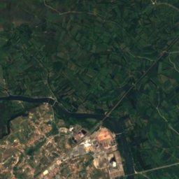
Cértima River from above
Nature nearbyAll of Portugal
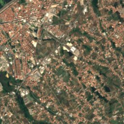
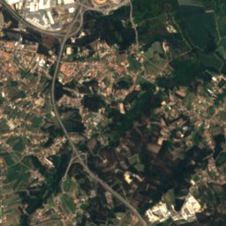
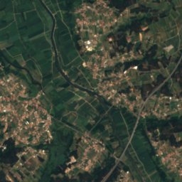
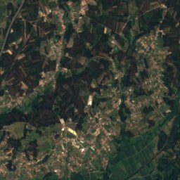
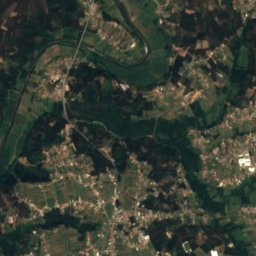
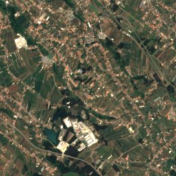
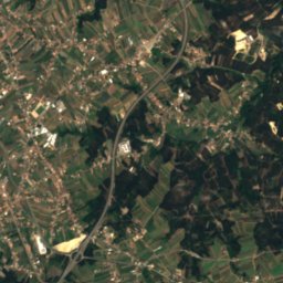
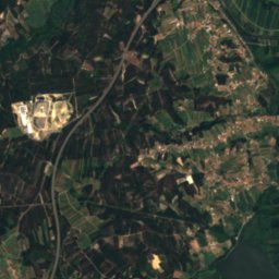
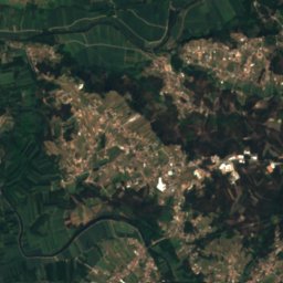
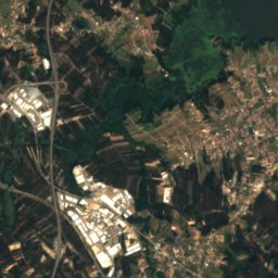
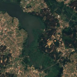
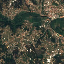
Satellite: Sentinel-2 cloudless 2016 by EOX IT Services GmbH · CC BY 4.0 · Contains modified Copernicus Sentinel data 2016
Photo: Vitor Oliveira from Torres Vedras, PORTUGAL · CC BY 2.0 · Wikimedia CommonsReport this photo · linked, not stored
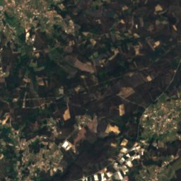
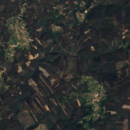
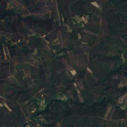
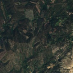
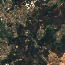
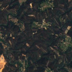
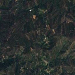
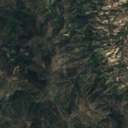
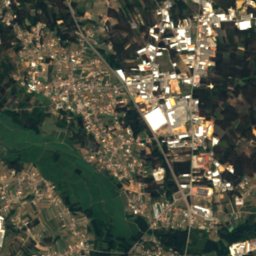
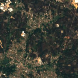
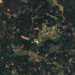
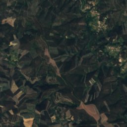
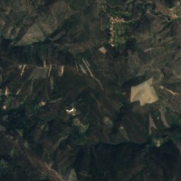
Satellite: Sentinel-2 cloudless 2016 by EOX IT Services GmbH · CC BY 4.0 · Contains modified Copernicus Sentinel data 2016


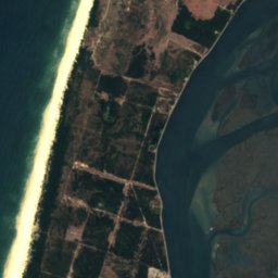
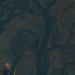
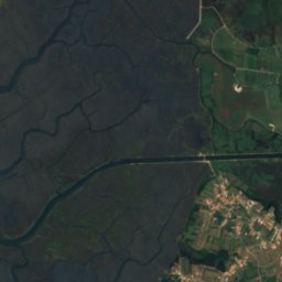

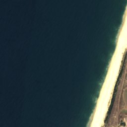
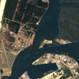
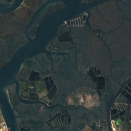
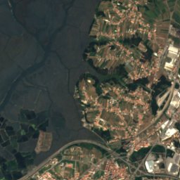

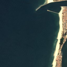
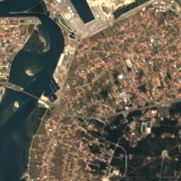
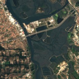
Satellite: Sentinel-2 cloudless 2016 by EOX IT Services GmbH · CC BY 4.0 · Contains modified Copernicus Sentinel data 2016
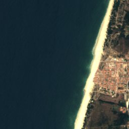
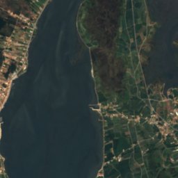
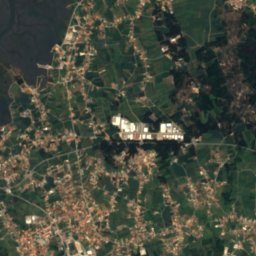
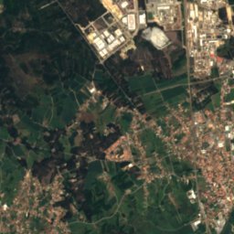
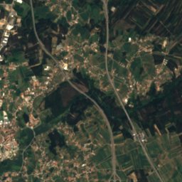
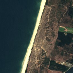
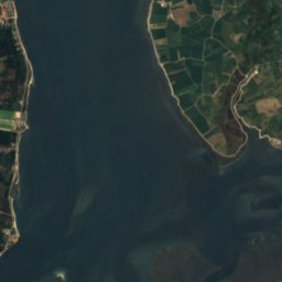
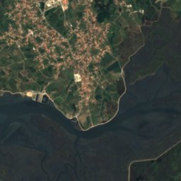
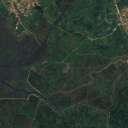
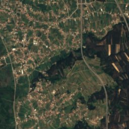
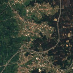
Satellite: Sentinel-2 cloudless 2016 by EOX IT Services GmbH · CC BY 4.0 · Contains modified Copernicus Sentinel data 2016

Photo: M.Peinado from Alcalá de Henares, España · CC BY 2.0 · Wikimedia CommonsReport this photo · linked, not stored
Stay nearby
Towns close by
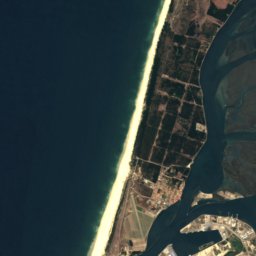
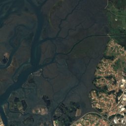
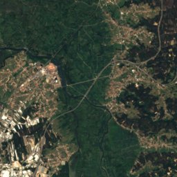
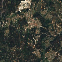
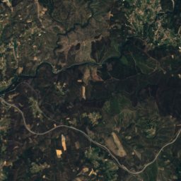
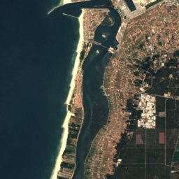
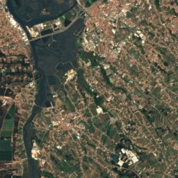
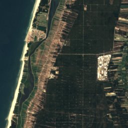
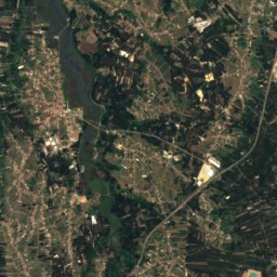
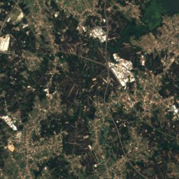
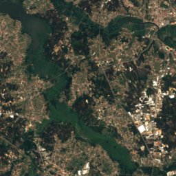
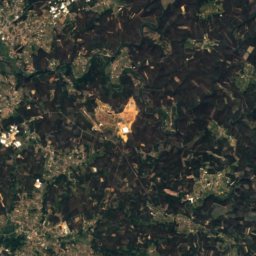
Satellite: Sentinel-2 cloudless 2016 by EOX IT Services GmbH · CC BY 4.0 · Contains modified Copernicus Sentinel data 2016
Eirol
Aveiro · 2.4 km NW
22°Oct high
13wet days
68score

Photo: Vitor Oliveira from Torres Vedras, PORTUGAL · CC BY-SA 2.0 · Wikimedia CommonsReport this photo · linked, not stored
Fermentelos
Aveiro · 2.6 km S
22°Oct high
13wet days
68score


Around here
Eirol and around
Nature
Photo: Vitor Oliveira from Torres Vedras, PORTUGAL · CC BY 2.0 · Wikimedia CommonsReport this photo · linked, not stored
Caima River
River
Satellite: Sentinel-2 cloudless 2016 by EOX IT Services GmbH · CC BY 4.0 · Contains modified Copernicus Sentinel data 2016
Pateira de Fermentelos
Lake · 9 m
Satellite: Sentinel-2 cloudless 2016 by EOX IT Services GmbH · CC BY 4.0 · Contains modified Copernicus Sentinel data 2016
Antuã River
River
Mountains
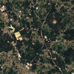
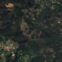
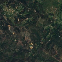
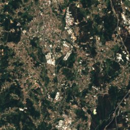
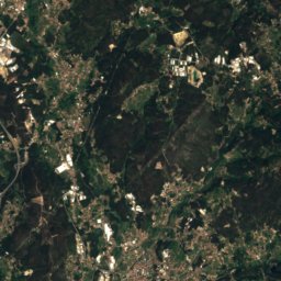
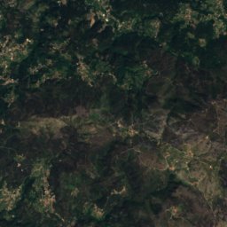
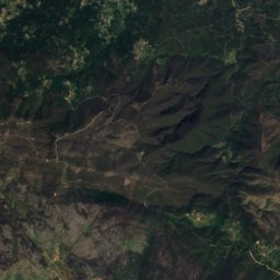
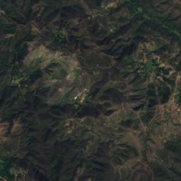
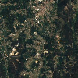
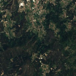
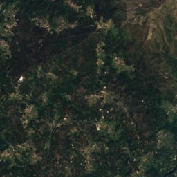
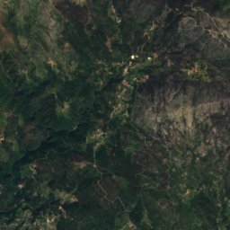
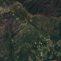
Satellite: Sentinel-2 cloudless 2016 by EOX IT Services GmbH · CC BY 4.0 · Contains modified Copernicus Sentinel data 2016
Gralheira
626 m
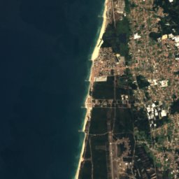
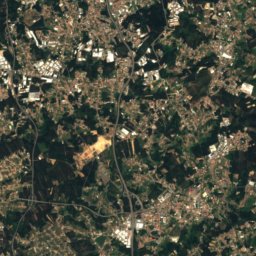
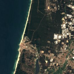
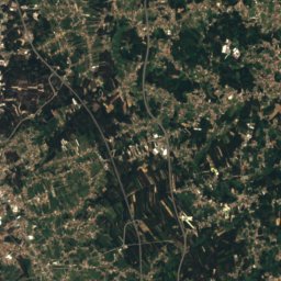
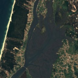
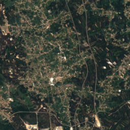
Satellite: Sentinel-2 cloudless 2016 by EOX IT Services GmbH · CC BY 4.0 · Contains modified Copernicus Sentinel data 2016
Serra do Pereiro
509 m
Heritage


Cine-Teatro de Albergaria-a-Velha
heritage without legal protection

Edifício Arte Nova, também denominado «Casa do Major Pessoa»
Immovable Cultural Heritage of Public Interest · 1907


