










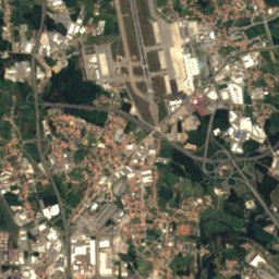
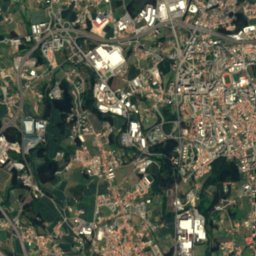
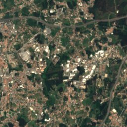
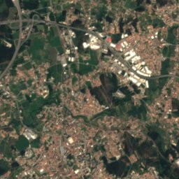




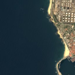
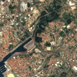
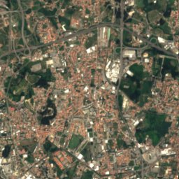
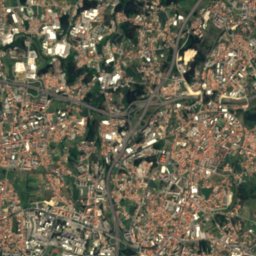









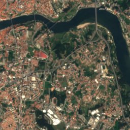
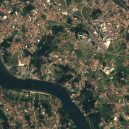
Satellite: Sentinel-2 cloudless 2016 by EOX IT Services GmbH · CC BY 4.0 · Contains modified Copernicus Sentinel data 2016

Photo: Jose A. · CC BY 2.0 · Wikimedia Commons
Praia de MatosinhosReport this photo · linked, not stored
Praia de MatosinhosPraia de MatosinhosReport this photo · linked, not stored

Photo: Vanbasten 23 · CC BY-SA 3.0 · Wikimedia Commons
International beachReport this photo · linked, not stored
International beachInternational beachReport this photo · linked, not stored

Photo: Vanbasten 23 · CC BY-SA 3.0 · Wikimedia Commons
Castelo do Queijo beachReport this photo · linked, not stored
Castelo do Queijo beachCastelo do Queijo beachReport this photo · linked, not stored

Photo: Vitor Oliveira from Torres Vedras, PORTUGAL · CC BY-SA 2.0 · Wikimedia Commons
Aquario beachReport this photo · linked, not stored
Aquario beachAquario beachReport this photo · linked, not stored
IslandLeça da Palmeira, Porto
Baixa do Moço
IslandBest Jun–Aug
Elevation–above sea level
Area–surface
Nearest townLeça da Palmeira1.1 km
41.18° N, 8.71° WUTC+1 · Western European Summer Time
When to goLeça da Palmeira · weather score
Best timeJun–Aug
October: high / low21° / 13°
Island
Baixa do Moço in brief
Baixa do Moço is an island in Leça da Palmeira, Porto, Portugal.
The nearest town in the atlas is Leça da Palmeira, 1.1 km to the NE, where the weather is best in June, July and August.
Weather nearby now
Forecast for Leça da Palmeira15°
Cloudy now
Today
22 Oct
17°
10°
Fri
23 Oct
17°
12°
2 mm
Sat
24 Oct
17°
9°
Sun
25 Oct
18°
12°
Mon
26 Oct
17°
10°
Model run 00:00 UTCRefreshed several times a day
Map
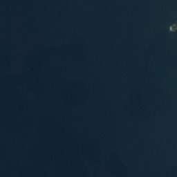
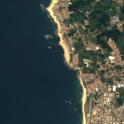
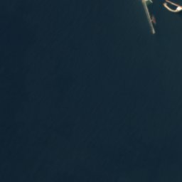
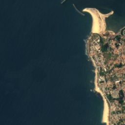
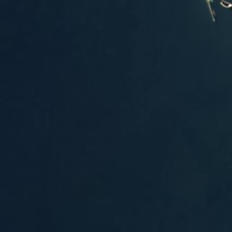
Baixa do Moço from above
Nature nearbyAll of Portugal
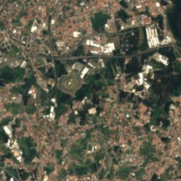
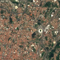
Satellite: Sentinel-2 cloudless 2016 by EOX IT Services GmbH · CC BY 4.0 · Contains modified Copernicus Sentinel data 2016
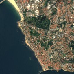
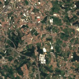
Satellite: Sentinel-2 cloudless 2016 by EOX IT Services GmbH · CC BY 4.0 · Contains modified Copernicus Sentinel data 2016


Photo: Vitor Oliveira from Torres Vedras, PORTUGAL · CC BY-SA 2.0 · Wikimedia CommonsReport this photo · linked, not stored
Stay nearby
Towns close by

Photo: jad99 from Graz, Austria · CC BY-SA 2.0 · Wikimedia CommonsReport this photo · linked, not stored
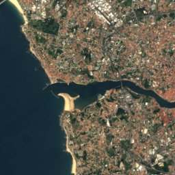
Leça da Palmeira
Porto · 1.1 km NE
21°Oct high
13wet days
67score

Photo: Vitor Oliveira from Torres Vedras, PORTUGAL · CC BY-SA 2.0 · Wikimedia CommonsReport this photo · linked, not stored
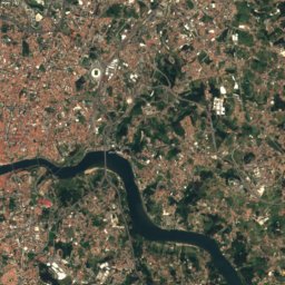
Matosinhos
Porto · 1.7 km E
21°Oct high
13wet days
67score



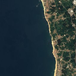
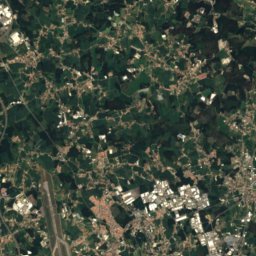
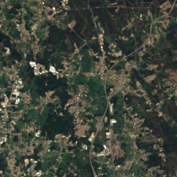


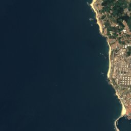
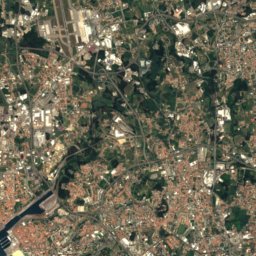
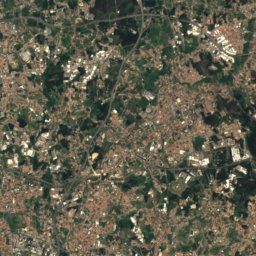


Around here
Leça da Palmeira and around
Photo: jad99 from Graz, Austria · CC BY-SA 2.0 · Wikimedia CommonsReport this photo · linked, not stored
Leça da Palmeira
Porto · Portugal
Jun–Augbest months
25°July high
18 maltitude
Nature


Mountains
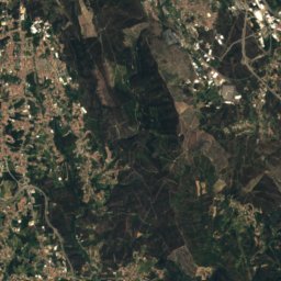
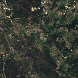
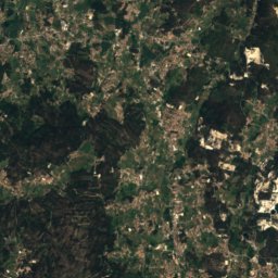
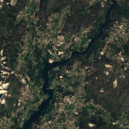
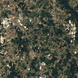
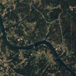
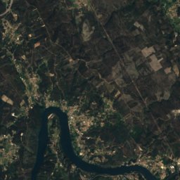
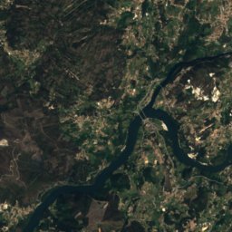
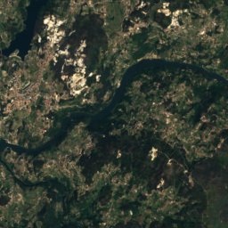
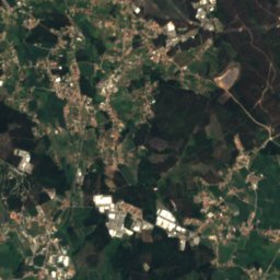
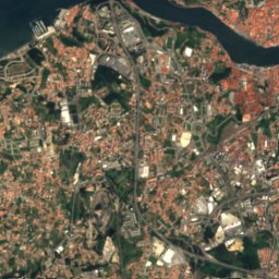
Satellite: Sentinel-2 cloudless 2016 by EOX IT Services GmbH · CC BY 4.0 · Contains modified Copernicus Sentinel data 2016
Alto S. Paul
350 m
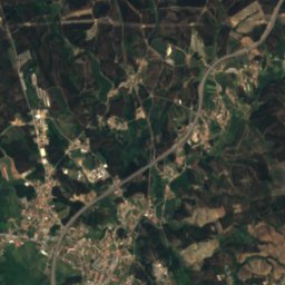
Satellite: Sentinel-2 cloudless 2016 by EOX IT Services GmbH · CC BY 4.0 · Contains modified Copernicus Sentinel data 2016
Alto S. Gens
328 m
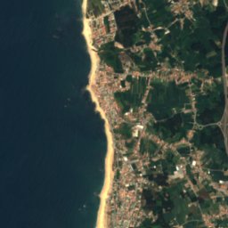
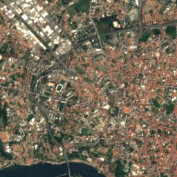
Satellite: Sentinel-2 cloudless 2016 by EOX IT Services GmbH · CC BY 4.0 · Contains modified Copernicus Sentinel data 2016
Serra das Flores
318 m
Heritage

Tidal pools of Leça de Palmeira
National Monument of Portugal · 1966


Fort of Leça de Palmeira
Immovable Cultural Heritage of Public Interest · 1638
Museums




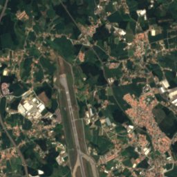
Satellite: Sentinel-2 cloudless 2016 by EOX IT Services GmbH · CC BY 4.0 · Contains modified Copernicus Sentinel data 2016
Pavilhão da Água





Satellite: Sentinel-2 cloudless 2016 by EOX IT Services GmbH · CC BY 4.0 · Contains modified Copernicus Sentinel data 2016
Casa da Arquitectura
2007