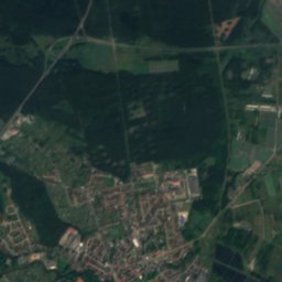
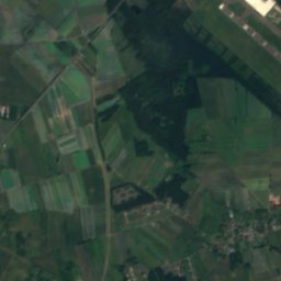
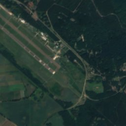
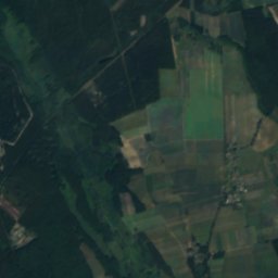
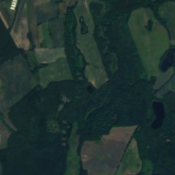
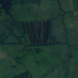
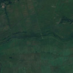
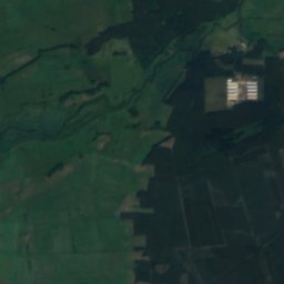
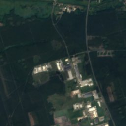
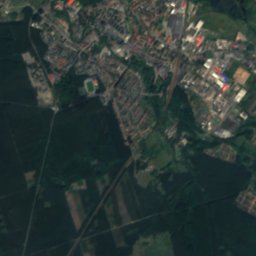
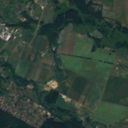
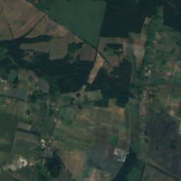
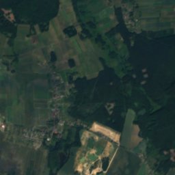
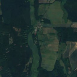
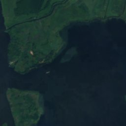
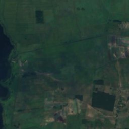
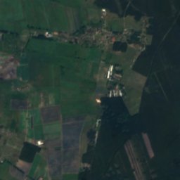
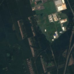
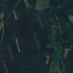
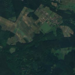

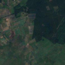
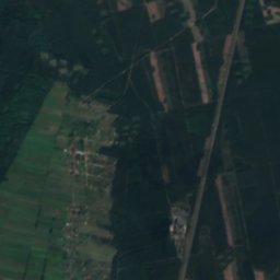
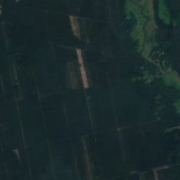
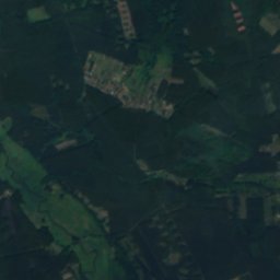
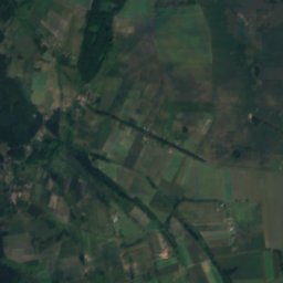
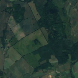
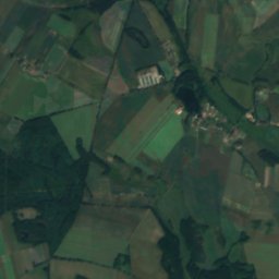
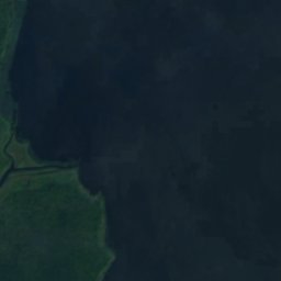
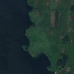
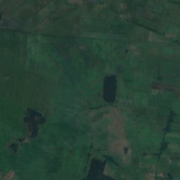
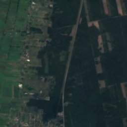
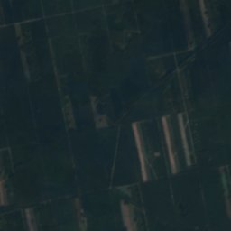
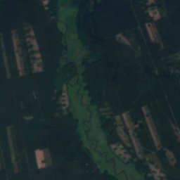
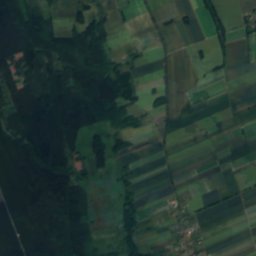
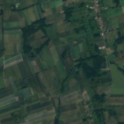
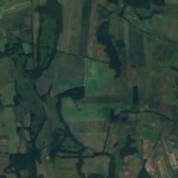

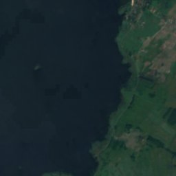
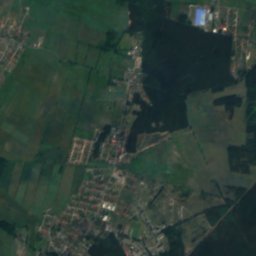
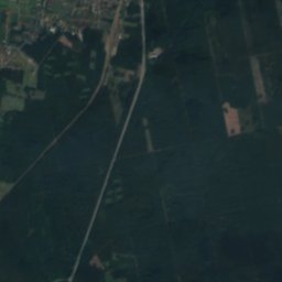
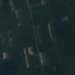
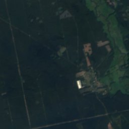
Satellite: Sentinel-2 cloudless 2016 by EOX IT Services GmbH · CC BY 4.0 · Contains modified Copernicus Sentinel data 2016

Photo: Krzysiek091617 · CC BY-SA 4.0 · Wikimedia Commons
Lechickie LakeReport this photo · linked, not stored
Lechickie LakeLechickie LakeReport this photo · linked, not stored

Photo: Krzysztof Ziarnek, Kenraiz · CC BY-SA 4.0 · Wikimedia Commons
StepnicaReport this photo · linked, not stored
StepnicaStepnicaReport this photo · linked, not stored

Photo: Fry72 (Karel Frydrýšek) · CC BY-SA 4.0 · Wikimedia Commons
Zakątek wodny Trzebuskie ŁęgiReport this photo · linked, not stored
Zakątek wodny Trzebuskie ŁęgiZakątek wodny Trzebuskie ŁęgiReport this photo · linked, not stored
 Dąbie Lake
RiverPodańsko, West Pomerania
Wisełka
RiverBest May–Jun · Sep
Elevation–above sea level
Length8.9 kmsource to mouth
Nearest townPodańsko4.4 km
53.50° N, 14.86° EUTC+2 · Central European Summer Time
When to goPodańsko · weather score
Best timeMay–Jun · Sep
October: high / low13° / 6°
River
Wisełka in brief
Wisełka is a river in Podańsko, West Pomerania, Poland.
The nearest town is Podańsko, 4.4 km to the NE, where the weather is best in May, June and September.
Wisełka is 8.9 km long.
Weather nearby now
Forecast for Podańsko9°
Cloudy now
Today
24 Oct
13°
8°
Sun
25 Oct
11°
6°
6 mm
Mon
26 Oct
12°
7°
2 mm
Tue
27 Oct
12°
5°
Wed
28 Oct
15°
7°
1 mm
Model run 00:00 UTCRefreshed several times a day
When to go
Climate of PodańskoThe best months around Wisełka
Month score in Podańsko
Comfort, dry days and sunshine · out of 10014
Jan
21
Feb
27
Mar
57
Apr
71
May
68
Jun
65
Jul
65
Aug
71
Sep
38
Oct
17
Nov
13
Dec
Map
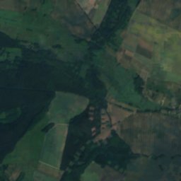
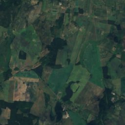
Wisełka from above
Nature nearbyAll of Poland
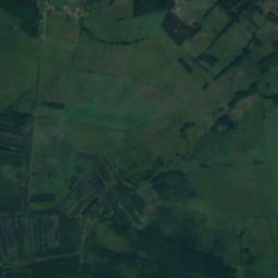
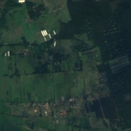
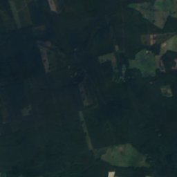
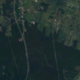
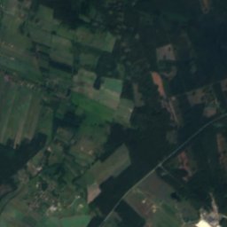
Satellite: Sentinel-2 cloudless 2016 by EOX IT Services GmbH · CC BY 4.0 · Contains modified Copernicus Sentinel data 2016


Photo: Krzysztof Ziarnek, Kenraiz · CC BY-SA 4.0 · Wikimedia CommonsReport this photo · linked, not stored

Photo: Fry72 (Karel Frydrýšek) · CC BY-SA 4.0 · Wikimedia CommonsReport this photo · linked, not stored


Photo: © Mateusz War. / Wikimedia Commons · CC BY-SA 3.0 · Wikimedia CommonsReport this photo · linked, not stored
Stay nearby
Towns close by
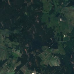
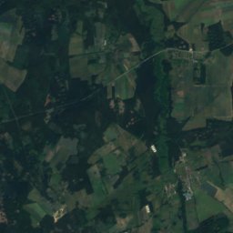
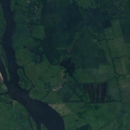
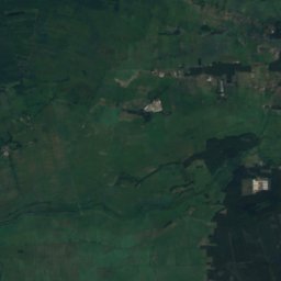
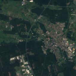
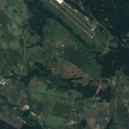
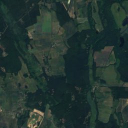
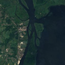
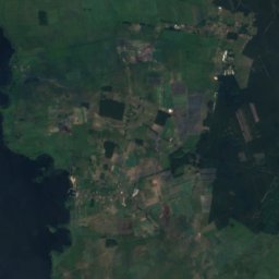
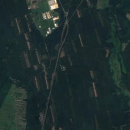
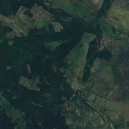
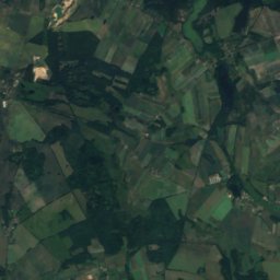
Satellite: Sentinel-2 cloudless 2016 by EOX IT Services GmbH · CC BY 4.0 · Contains modified Copernicus Sentinel data 2016
Podańsko
West Pomerania · 4.4 km NE
13°Oct high
13wet days
38score

Photo: Remigiusz Józefowicz (pl:dzoker) · CC BY-SA 2.5 pl · Wikimedia CommonsReport this photo · linked, not stored
Rurzyca
West Pomerania · 5.6 km W
13°Oct high
11wet days
43score

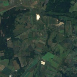
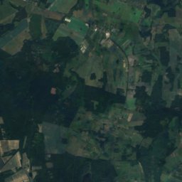
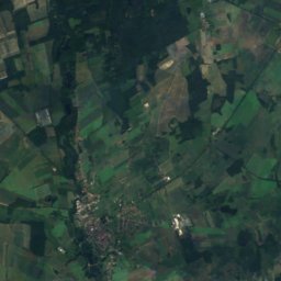
Around here
Podańsko and around
Nature
Photo: Krzysztof Ziarnek, Kenraiz · CC BY-SA 4.0 · Wikimedia CommonsReport this photo · linked, not stored
Stepnica
River
Satellite: Sentinel-2 cloudless 2016 by EOX IT Services GmbH · CC BY 4.0 · Contains modified Copernicus Sentinel data 2016
Struga Goleniowska
River
Mountains
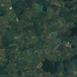
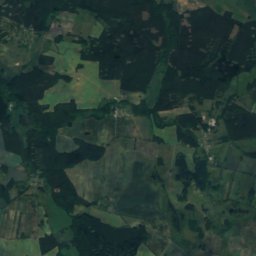
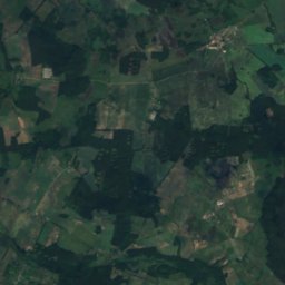
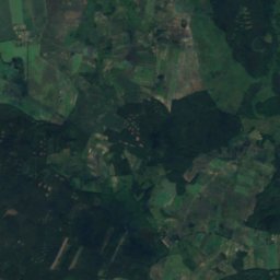
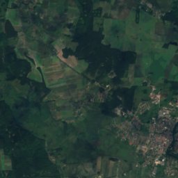
Satellite: Sentinel-2 cloudless 2016 by EOX IT Services GmbH · CC BY 4.0 · Contains modified Copernicus Sentinel data 2016
Lisia Góra
57 m
Heritage



Satellite: Sentinel-2 cloudless 2016 by EOX IT Services GmbH · CC BY 4.0 · Contains modified Copernicus Sentinel data 2016
Saint Stanislaus Kostka church in Podańsko
immovable monument in Poland · 1800

Kościół Niepokalanego Poczęcia Najświętszej Maryi Panny w Osinie
immovable monument in Poland · 1400

Albert Chmielowski church in Maszewo
immovable monument in Poland · 1500
Museums



Satellite: Sentinel-2 cloudless 2016 by EOX IT Services GmbH · CC BY 4.0 · Contains modified Copernicus Sentinel data 2016
Ośrodek Dokumentacji Dziejów Ziemi Goleniowskiej w Goleniowie
2008