Skip to content
Destinations
Weather & climate
Nature
Outdoors
Culture
Events
Sky & live
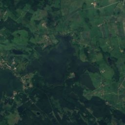
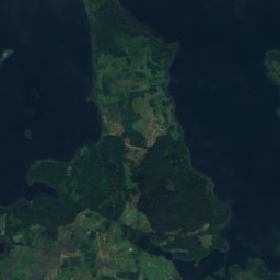
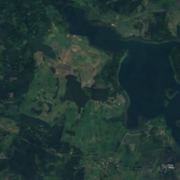
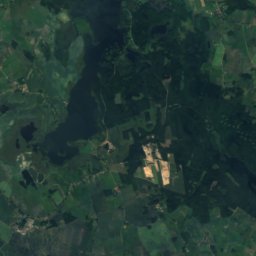
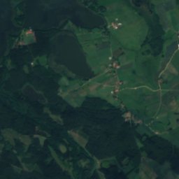
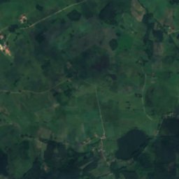
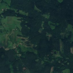
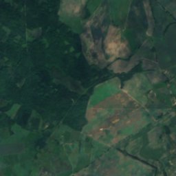
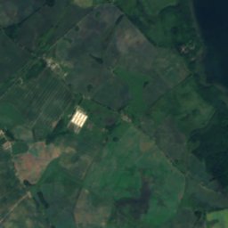
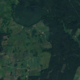
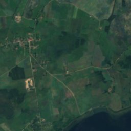
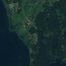
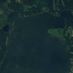
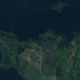
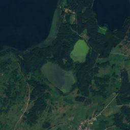
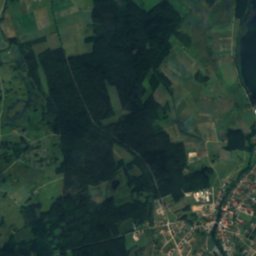
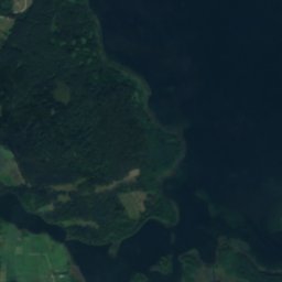
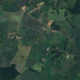
Satellite: Sentinel-2 cloudless 2016 by EOX IT Services GmbH · CC BY 4.0 · Contains modified Copernicus Sentinel data 2016
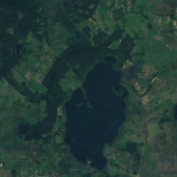
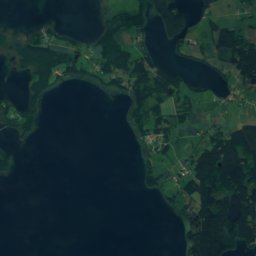
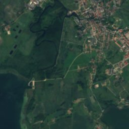
Jezioro Dgał Wielki
Photo: Sipalius · CC BY-SA 4.0 · Wikimedia Commons
Jezioro Dgał WielkiReport this photo · linked, not stored
Jezioro Dgał Wielki
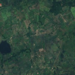
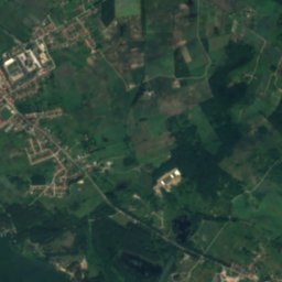
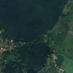
Dargin
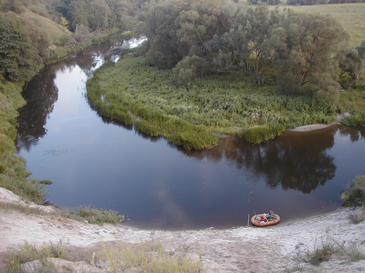
Photo: Bariusz0 · CC BY 3.0 · Wikimedia Commons
DarginReport this photo · linked, not stored
Dargin
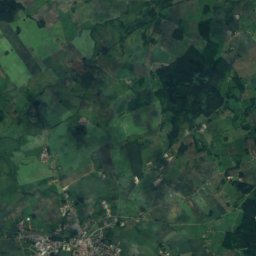
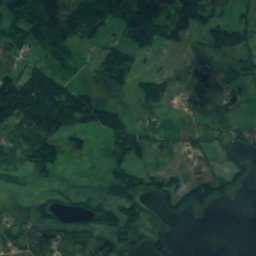
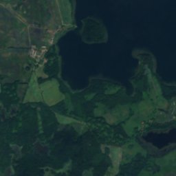
Lemięt
Photo: Fafikowiec · CC BY-SA 4.0 · Wikimedia Commons
LemiętReport this photo · linked, not stored
Lemięt
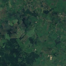
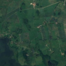
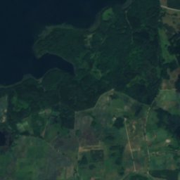
Jezioro Pozezdrze
Photo: Semu · CC BY-SA 4.0 · Wikimedia Commons
Jezioro PozezdrzeReport this photo · linked, not stored
Jezioro Pozezdrze
LakePieczarki, Warmia-Masuria

Warniak

Lake120 m elevationBest May · Jul · Sep
Elevation120 mabove sea level
Area0.3 km²surface
Nearest townPieczarki2.2 km
54.12° N, 21.80° EElevation 120 mUTC+1 · Central European Standard Time
When to goPieczarki · weather score
JanFebMarAprMayJunJulAugSepOctNovDec29October
Best timeMay · Jul · Sep
October: high / low12° / 5°
Lake

Warniak in brief

Warniak is a lake in Pieczarki, Warmia-Masuria, Poland.

It lies at 120 m above sea level and covers about 0.3 km².

The nearest town is Pieczarki, 2.2 km to the S, where the weather is best in May, July and September.

Pieczarki: weather and travel guide

Weather nearby now

Forecast for Pieczarki
8°
Cloudy now
Wind7 km/h
Humidity87%
Cloud cover80%
Today
29 Oct
11°
5°
Fri
30 Oct
12°
5°
Sat
31 Oct
8°
4°
Sun
1 Nov
10°
6°
Mon
2 Nov
8°
5°

Model run 00:00 UTCRefreshed several times a day

The lake's water

Surface, average depth and volume of the lake, and the length of its shore.
Surface0.3 km²
Average depth4 m
Volume2 million m³
Shoreline2.4 km
average depth 4 msurface at 120 m
When to go

The best months around Warniak

Climate of Pieczarki

Month score in Pieczarki

Comfort, dry days and sunshine · out of 100
12
Jan
19
Feb
23
Mar
49
Apr
68
May
63
Jun
65
Jul
65
Aug
69
Sep
29
Oct
13
Nov
10
Dec
Map

Warniak from above

Nature nearbyAll of Poland
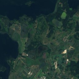
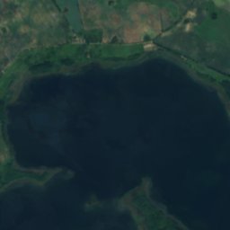
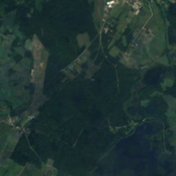
Satellite: Sentinel-2 cloudless 2016 by EOX IT Services GmbH · CC BY 4.0 · Contains modified Copernicus Sentinel data 2016
Dgał MałyLake0.8 kmWDgał Mały
Photo: Sipalius · CC BY-SA 4.0 · Wikimedia CommonsReport this photo · linked, not stored
Jezioro Dgał WielkiLake1.5 kmSJezioro Dgał Wielki
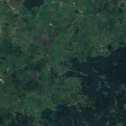
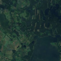
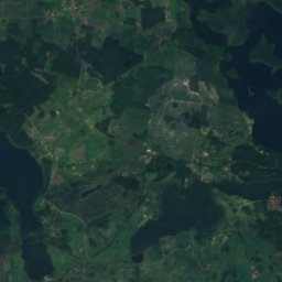
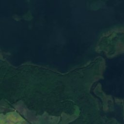
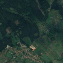
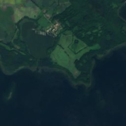
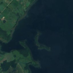
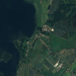
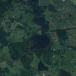
Satellite: Sentinel-2 cloudless 2016 by EOX IT Services GmbH · CC BY 4.0 · Contains modified Copernicus Sentinel data 2016
HarszLake3.6 kmNWHarsz
Photo: Bariusz0 · CC BY 3.0 · Wikimedia CommonsReport this photo · linked, not stored
DarginLake3.9 kmWDargin
Photo: Fafikowiec · CC BY-SA 4.0 · Wikimedia CommonsReport this photo · linked, not stored
LemiętLake4.1 kmNLemięt
Photo: Semu · CC BY-SA 4.0 · Wikimedia CommonsReport this photo · linked, not stored
Jezioro PozezdrzeLake6.2 kmEJezioro Pozezdrze
Stay nearby

Towns close by

Pieczarki
Photo: Wojak5 · Public domain · Wikimedia CommonsReport this photo · linked, not stored

Pieczarki

Warmia-Masuria · 2.2 km S
12°Oct high
13wet days
29score
Pieczarki
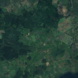
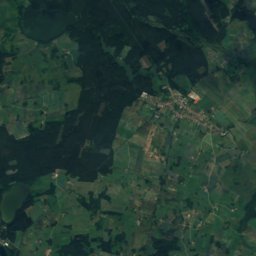
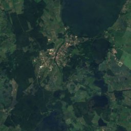
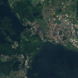
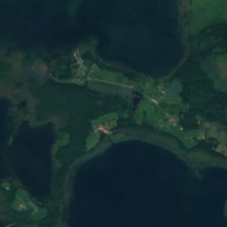
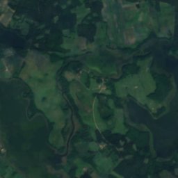
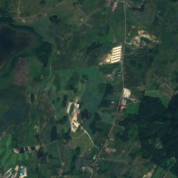
Satellite: Sentinel-2 cloudless 2016 by EOX IT Services GmbH · CC BY 4.0 · Contains modified Copernicus Sentinel data 2016

Harsz

Warmia-Masuria · 2.4 km N
12°Oct high
13wet days
29score
Harsz
Pozezdrze
Photo: Semu · CC BY-SA 4.0 · Wikimedia CommonsReport this photo · linked, not stored

Pozezdrze

Warmia-Masuria · 4.4 km NE
12°Oct high
13wet days
29score
Pozezdrze
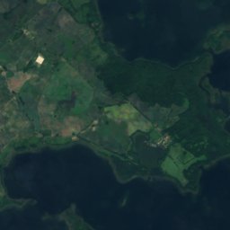
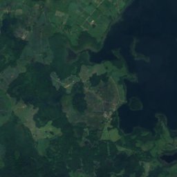
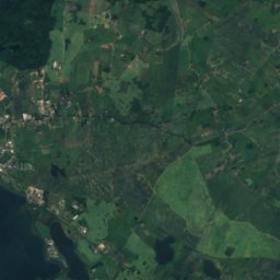
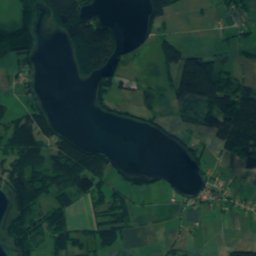
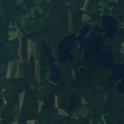
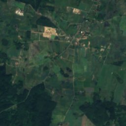
Satellite: Sentinel-2 cloudless 2016 by EOX IT Services GmbH · CC BY 4.0 · Contains modified Copernicus Sentinel data 2016

Spytkowo

Warmia-Masuria · 5.1 km S
12°Oct high
13wet days
28score
Spytkowo
Around here

Pieczarki and around

Pieczarki
Photo: Wojak5 · Public domain · Wikimedia CommonsReport this photo · linked, not stored

Pieczarki

Warmia-Masuria · Poland
May · Jul · Sepbest months
24°July high
127 maltitude
Pieczarki

Nature

Lake Mamry
Photo: Pitert · CC BY-SA 2.5 · Wikimedia CommonsReport this photo · linked, not stored
11 km NW

Lake Mamry

Lake · 116 m
Lake Mamry
Angrapa
Photo: Foma39 at Russian Wikipedia (Andrey Fimushkin) · Public domain · Wikimedia CommonsReport this photo · linked, not stored
12 km NW

Angrapa

River · 21 m
Angrapa
Lemięt
Photo: Fafikowiec · CC BY-SA 4.0 · Wikimedia CommonsReport this photo · linked, not stored
6.3 km N

Lemięt

Lake · 117 m
Lemięt

Mountains

Szeska Góra
Photo: Eume · CC BY-SA 4.0 · Wikimedia CommonsReport this photo · linked, not stored
36 km E

Szeska Góra

309 m
Szeska Góra
Tatarska Góra
Photo: Erebusso. · CC BY-SA 3.0 · Wikimedia CommonsReport this photo · linked, not stored
35 km NE

Tatarska Góra

308 m
Tatarska Góra

Heritage

Evangelical church in Giżycko
Photo: Lesnydzban · CC BY-SA 4.0 · Wikimedia CommonsReport this photo · linked, not stored
7.7 km S

Evangelical church in Giżycko

immovable monument in Poland
Evangelical church in Giżycko
Church of SS. Peter and Paul in Węgorzewo
Photo: Rimantas Lazdynas · Public domain · Wikimedia CommonsReport this photo · linked, not stored
13 km N

Church of SS. Peter and Paul in Węgorzewo

immovable monument in Poland · 1611
Church of SS. Peter and Paul in Węgorzewo
Giżycko Castle
Photo: image/photo was taken by Wikipedia and Wikimedia Commons user Ludwig Schneider. · CC BY-SA 3.0 · Wikimedia CommonsReport this photo · linked, not stored
8.0 km S

Giżycko Castle

immovable monument in Poland · 1390
Giżycko Castle

Museums

Satellite: Sentinel-2 cloudless 2016 by EOX IT Services GmbH · CC BY 4.0 · Contains modified Copernicus Sentinel data 2016
2.4 km SE

Muzeum Indian w Spytkowie

2003
Muzeum Indian w Spytkowie
Muzeum w Wieży Ciśnień w Giżycku
Photo: Antekbojar · CC BY-SA 3.0 · Wikimedia CommonsReport this photo · linked, not stored
7.5 km S

Muzeum w Wieży Ciśnień w Giżycku

Muzeum w Wieży Ciśnień w Giżycku
Park etnograficzny w Węgorzewie
Photo: Antekbojar · CC BY-SA 3.0 · Wikimedia CommonsReport this photo · linked, not stored
13 km N

Park etnograficzny w Węgorzewie

Open-air museum
Park etnograficzny w Węgorzewie