
Photo: Paweł Cieśla Staszek_Szybki_Jest · CC BY-SA 4.0 · Wikimedia Commons
ŚwiślinaReport this photo · linked, not stored
ŚwiślinaReport this photo · linked, not stored

Photo: Karol Wójcik 87 · CC BY-SA 4.0 · Wikimedia Commons
Lake LubiankaReport this photo · linked, not stored
Lake LubiankaLake LubiankaReport this photo · linked, not stored

Photo: Hiuppo · CC BY-SA 3.0 · Wikimedia Commons
Lake StarachowiceReport this photo · linked, not stored
Lake StarachowiceLake StarachowiceReport this photo · linked, not stored

Photo: Omron · CC BY-SA 3.0 · Wikimedia Commons
Wąchock ReservoirReport this photo · linked, not stored
Wąchock ReservoirWąchock ReservoirReport this photo · linked, not stored

Photo: Unknown author · CC BY-SA 3.0 · Wikimedia Commons
Łysa GóraReport this photo · linked, not stored
Łysa GóraŁysa GóraReport this photo · linked, not stored
RiverWzdół Rządowy, Świętokrzyskie
Świślina
RiverBest May · Aug–Sep
Elevation–above sea level
Length35 kmsource to mouth
Nearest townWzdół Rządowy4.1 km
50.99° N, 20.93° EUTC+2 · Central European Summer Time
When to goWzdół Rządowy · weather score
Best timeMay · Aug–Sep
October: high / low12° / 4°
River
Świślina in brief
Świślina is a river in Wzdół Rządowy, Świętokrzyskie, Poland.
The nearest town in the atlas is Wzdół Rządowy, 4.1 km to the W, where the weather is best in May, August and September.
Świślina is 35 km long.
Weather nearby now
Forecast for Wzdół Rządowy8°
Rain now
Today
22 Oct
12°
6°
15 mm
Fri
23 Oct
14°
3°
Sat
24 Oct
14°
4°
2 mm
Sun
25 Oct
13°
4°
2 mm
Mon
26 Oct
12°
4°
2 mm
Model run 00:00 UTCRefreshed several times a day
The course of the river
As mapped in OpenStreetMap, with the towns of the atlas along its banks.- 1Godów237 m
- 2Kałków269 m
- 3Kotarszyn266 m
- 4Doły Opacie234 m
- 5Doły Biskupie196 m
- 6Rudnik185 m
sourcemouth (or where the mapped line leaves the country)
When to go
Climate of Wzdół RządowyThe best months around Świślina
Month score in Wzdół Rządowy
Comfort, dry days and sunshine · out of 10021
Jan
25
Feb
26
Mar
48
Apr
65
May
64
Jun
65
Jul
72
Aug
73
Sep
41
Oct
25
Nov
22
Dec
Map
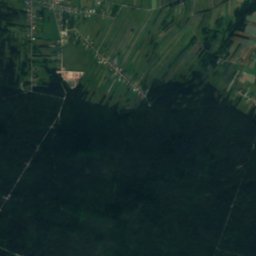
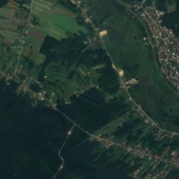
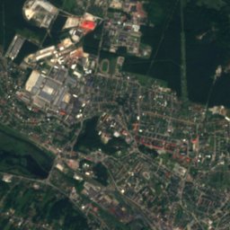
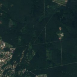
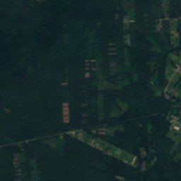
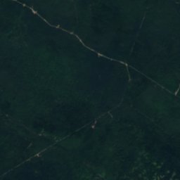
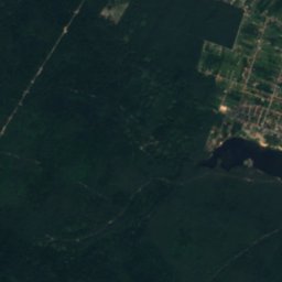
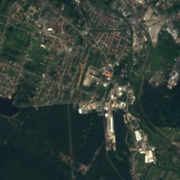
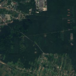
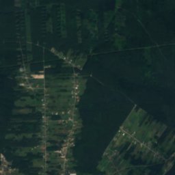
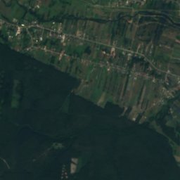
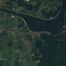
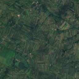
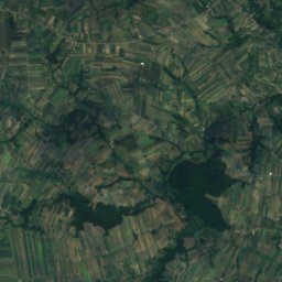
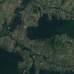
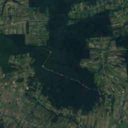
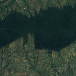
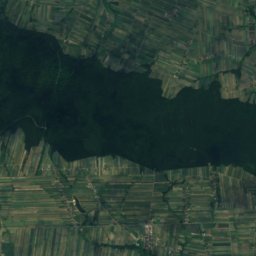
Świślina from above
Nature nearbyAll of Poland
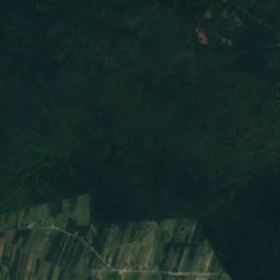
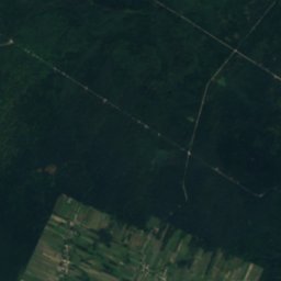
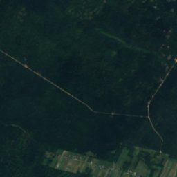
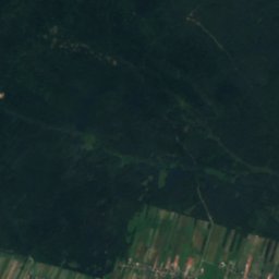
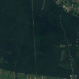
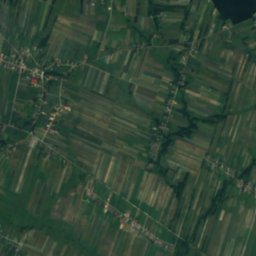
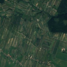
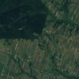
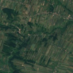
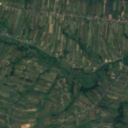
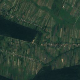
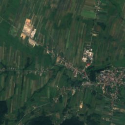
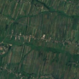
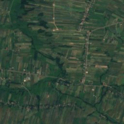
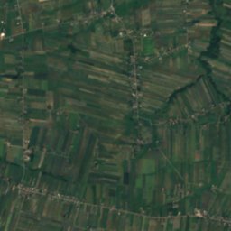
Satellite: Sentinel-2 cloudless 2016 by EOX IT Services GmbH · CC BY 4.0 · Contains modified Copernicus Sentinel data 2016


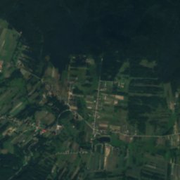
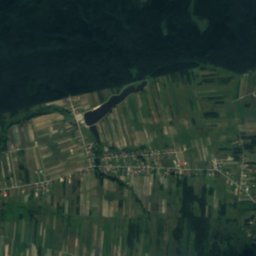
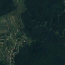
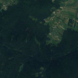
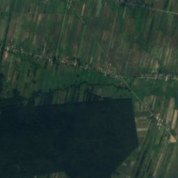
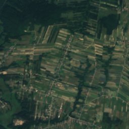
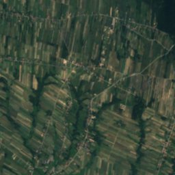
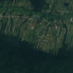
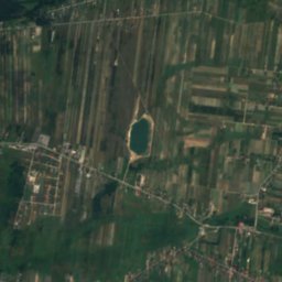
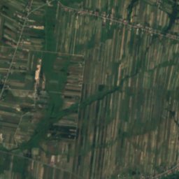
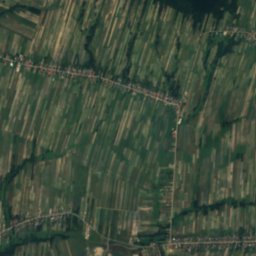
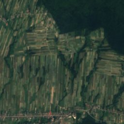
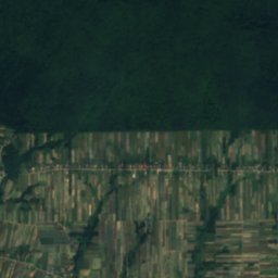
Satellite: Sentinel-2 cloudless 2016 by EOX IT Services GmbH · CC BY 4.0 · Contains modified Copernicus Sentinel data 2016
Summits nearbyMountains of Poland
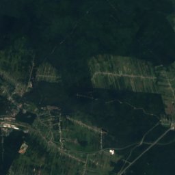
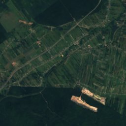
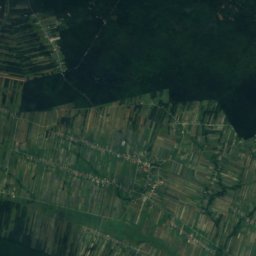
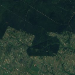
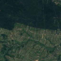
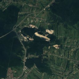
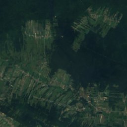
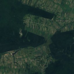
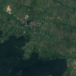
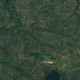
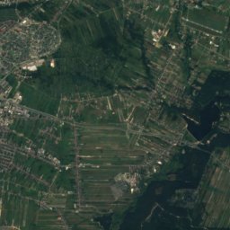
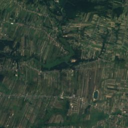
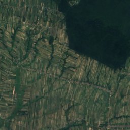
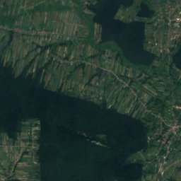
Satellite: Sentinel-2 cloudless 2016 by EOX IT Services GmbH · CC BY 4.0 · Contains modified Copernicus Sentinel data 2016

Satellite: Sentinel-2 cloudless 2016 by EOX IT Services GmbH · CC BY 4.0 · Contains modified Copernicus Sentinel data 2016
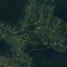
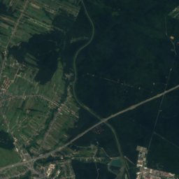
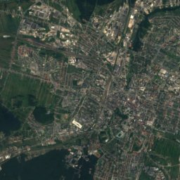
Satellite: Sentinel-2 cloudless 2016 by EOX IT Services GmbH · CC BY 4.0 · Contains modified Copernicus Sentinel data 2016
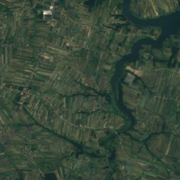
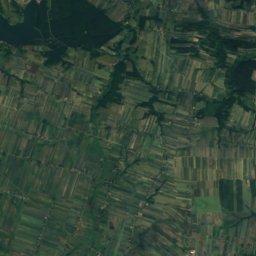
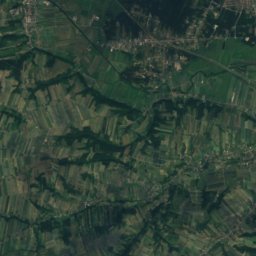
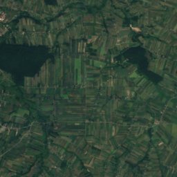
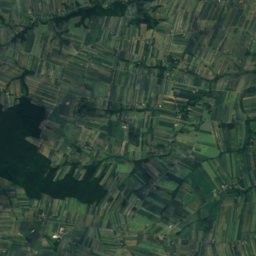
Satellite: Sentinel-2 cloudless 2016 by EOX IT Services GmbH · CC BY 4.0 · Contains modified Copernicus Sentinel data 2016
Satellite: Sentinel-2 cloudless 2016 by EOX IT Services GmbH · CC BY 4.0 · Contains modified Copernicus Sentinel data 2016
Stay nearby
Towns close by


Around here
Wzdół Rządowy and around
Nature

Photo: Paweł Cieśla Staszek_Szybki_Jest · CC BY-SA 4.0 · Wikimedia CommonsReport this photo · linked, not stored
Lake Rejów
Lake · 245 m

Photo: Paweł Cieśla Staszek_Szybki_Jest · CC BY-SA 4.0 · Wikimedia CommonsReport this photo · linked, not stored
Kamionka, Świętokrzyskie
River
Mountains
Satellite: Sentinel-2 cloudless 2016 by EOX IT Services GmbH · CC BY 4.0 · Contains modified Copernicus Sentinel data 2016
Lysica - 612 m. n. p. m.
608 m
Satellite: Sentinel-2 cloudless 2016 by EOX IT Services GmbH · CC BY 4.0 · Contains modified Copernicus Sentinel data 2016
Szczygiełkowa - Przełęcz Św. Mikołaja 535m.
541 m
Heritage


Photo: Wojciech Domagała · CC BY-SA 3.0 pl · Wikimedia CommonsReport this photo · linked, not stored
Jewish Cemetery in Bodzentyn
immovable monument in Poland · 1867

Holy Spirit church in Bodzentyn
immovable monument in Poland · 1700
Museums

Photo: Paweł Cieśla Staszek_Szybki_Jest · CC BY-SA 4.0 · Wikimedia CommonsReport this photo · linked, not stored
Mausoleum in Michniów
Ethnographic museum









Satellite: Sentinel-2 cloudless 2016 by EOX IT Services GmbH · CC BY 4.0 · Contains modified Copernicus Sentinel data 2016
Muzeum Siekier w Orzechówce
2006

Photo: Tadeusz Sikora (Wyrazil zgode na publikacje w Wiki) · CC BY-SA 3.0 · Wikimedia CommonsReport this photo · linked, not stored

White Eagle Museum
Military museum · 1969