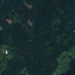
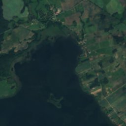
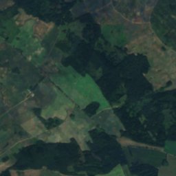
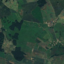
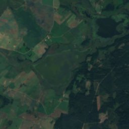
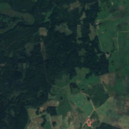
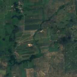
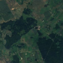
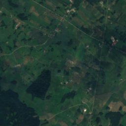
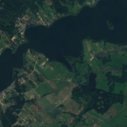
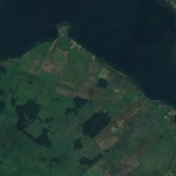
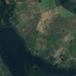
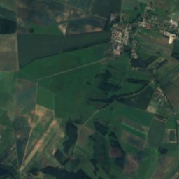
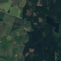
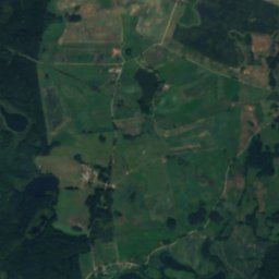
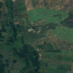
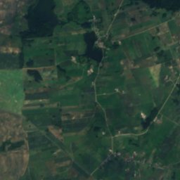
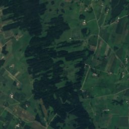
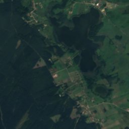
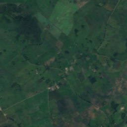
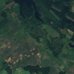
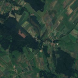
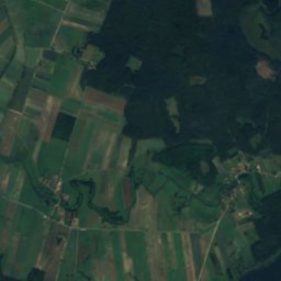
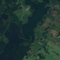
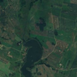
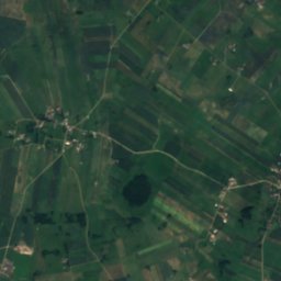
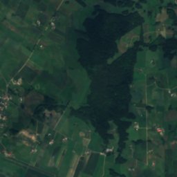
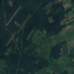
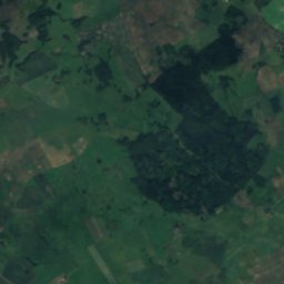
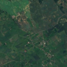
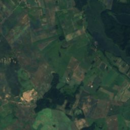
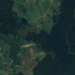
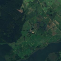
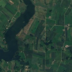
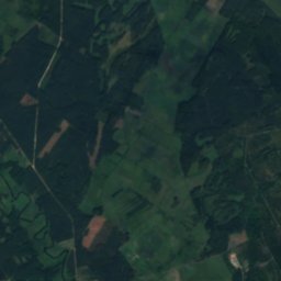
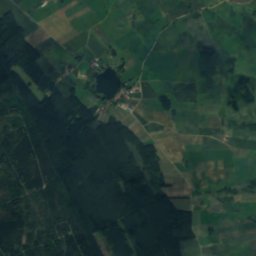
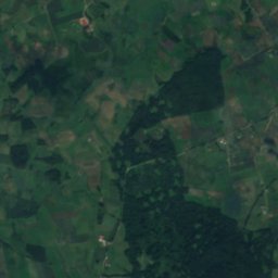
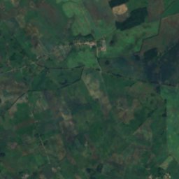
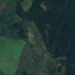
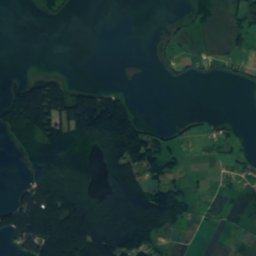
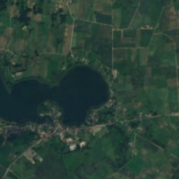
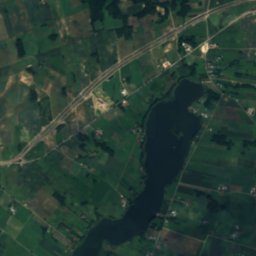
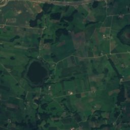
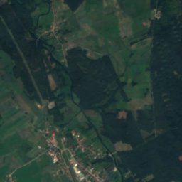
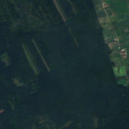
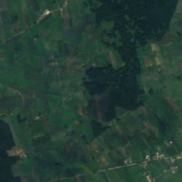
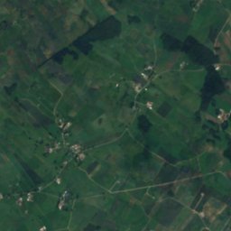
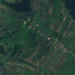
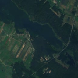
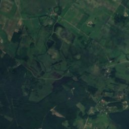
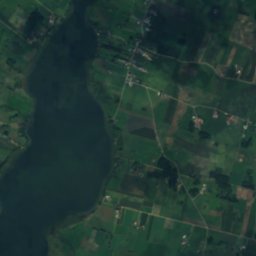
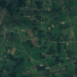
Satellite: Sentinel-2 cloudless 2016 by EOX IT Services GmbH · CC BY 4.0 · Contains modified Copernicus Sentinel data 2016

Photo: Kkamil at Polish Wikipedia · Public domain · Wikimedia Commons
Jezioro RajgrodzkieReport this photo · linked, not stored
Jezioro RajgrodzkieJezioro RajgrodzkieReport this photo · linked, not stored

Photo: Janusz Cimoszuk · CC BY-SA 3.0 · Wikimedia Commons
PrzepiórkaReport this photo · linked, not stored
PrzepiórkaPrzepiórkaReport this photo · linked, not stored

Photo: Dainava · CC BY-SA 4.0 · Wikimedia Commons
Kukowo (lake)Report this photo · linked, not stored
Kukowo (lake)Kukowo (lake)Report this photo · linked, not stored

Photo: Andrzej Szkopiński · CC BY 3.0 · Wikimedia Commons
DręstwoReport this photo · linked, not stored
DręstwoDręstwoReport this photo · linked, not stored
LakeSypitki, Warmia-Masuria
Stackie
LakeBest May · Aug–Sep
Elevation–above sea level
Area–surface
Nearest townSypitki3.9 km
53.77° N, 22.63° EUTC+2 · Central European Summer Time
When to goSypitki · weather score
Best timeMay · Aug–Sep
October: high / low12° / 4°
Lake
Stackie in brief
Stackie is a lake in Sypitki, Warmia-Masuria, Poland.
The nearest town in the atlas is Sypitki, 3.9 km to the NW, where the weather is best in May, August and September.
Weather nearby now
Forecast for Sypitki11°
Rain now
Today
23 Oct
14°
5°
12 mm
Sat
24 Oct
13°
5°
Sun
25 Oct
14°
4°
2 mm
Mon
26 Oct
10°
6°
3 mm
Tue
27 Oct
12°
3°
Model run 12:00 UTCRefreshed several times a day
When to go
Climate of SypitkiThe best months around Stackie
Month score in Sypitki
Comfort, dry days and sunshine · out of 10015
Jan
21
Feb
25
Mar
49
Apr
66
May
64
Jun
65
Jul
67
Aug
71
Sep
32
Oct
15
Nov
15
Dec
Map
Stackie from above
Nature nearbyAll of Poland
Satellite: Sentinel-2 cloudless 2016 by EOX IT Services GmbH · CC BY 4.0 · Contains modified Copernicus Sentinel data 2016

Photo: Kkamil at Polish Wikipedia · Public domain · Wikimedia CommonsReport this photo · linked, not stored

Satellite: Sentinel-2 cloudless 2016 by EOX IT Services GmbH · CC BY 4.0 · Contains modified Copernicus Sentinel data 2016


Stay nearby
Towns close by


Around here
Sypitki and around
Nature

Photo: Kkamil at Polish Wikipedia · Public domain · Wikimedia CommonsReport this photo · linked, not stored
Jezioro Rajgrodzkie
Lake · 118 m
Heritage

Boundary marker in Bogusze
cultural property protection in Poland · 1545

Photo: image/photo was taken by Wikipedia and Wikimedia Commons user Ludwig Schneider. · CC BY-SA 3.0 · Wikimedia CommonsReport this photo · linked, not stored
Ełk Cathedral
immovable monument in Poland · 1853

Cmentarz Komunalny i Wojskowy w Ełku
immovable monument in Poland · 1788
Museums


Satellite: Sentinel-2 cloudless 2016 by EOX IT Services GmbH · CC BY 4.0 · Contains modified Copernicus Sentinel data 2016
Ełcka Kolej Wąskotorowa
Heritage railway · 1912