Skip to content
Destinations
Weather & climate
Nature
Outdoors
Culture
Events
Sky & live
Oder
Photo: Grzegorz Kilian · CC BY-SA 3.0 · Wikimedia Commons
OderReport this photo · linked, not stored
Gunica
Photo: Mateusz War. · CC BY-SA 3.0 · Wikimedia Commons
GunicaReport this photo · linked, not stored
Gunica
Karpina
Photo: Mateusz War. · CC BY-SA 3.0 · Wikimedia Commons
KarpinaReport this photo · linked, not stored
Karpina
Łarpia
Photo: Saszi5 at Polish Wikipedia · CC BY-SA 3.0 · Wikimedia Commons
ŁarpiaReport this photo · linked, not stored
Łarpia
Gowienica
Photo: I, Zwiadowca21 · CC BY-SA 3.0 · Wikimedia Commons
GowienicaReport this photo · linked, not stored
Gowienica
RiverDębostrów, West Pomerania

Oder

RiverBest May–Jun · Sep
Elevation–above sea level
Length854 kmsource to mouth
Nearest townDębostrów4.6 km
53.60° N, 14.59° EUTC+2 · Central European Summer Time
When to goDębostrów · weather score
JanFebMarAprMayJunJulAugSepOctNovDec39October
Best timeMay–Jun · Sep
October: high / low13° / 7°
River

Oder in brief

Oder is a river in Dębostrów, West Pomerania, Poland.

The nearest town in the atlas is Dębostrów, 4.6 km to the W, where the weather is best in May, June and September.

Oder is 854 km long.

Dębostrów: weather and travel guide

Weather nearby now

Forecast for Dębostrów
10°
Cloudy now
Wind12 km/h
Humidity78%
Cloud cover100%
Today
22 Oct
12°
9°
6 mm
Fri
23 Oct
13°
5°
1 mm
Sat
24 Oct
12°
9°
1 mm
Sun
25 Oct
13°
7°
8 mm
Mon
26 Oct
12°
7°
2 mm

Model run 00:00 UTCRefreshed several times a day

The course of the river

As mapped in OpenStreetMap, with the towns of the atlas along its banks.
1234567891011121314
  1. 1Bohumín198 m
  2. 2Racibórz195 m
  3. 3Krapkowice176 m
  4. 4Opole173 m
  5. 5Brzeg147 m
  6. 6Oława129 m
  7. 7Wrocław115 m
  8. 8Brzeg Dolny118 m
  9. 9Głogów92 m
  10. 10Nowa Sól66 m
  11. 11Frankfurt (Oder)28 m
  12. 12Słubice23 m
  13. 13Kostrzyn nad Odrą16 m
  14. 14Gryfino7 m
sourcemouth (or where the mapped line leaves the country)
When to go

The best months around Oder

Climate of Dębostrów

Month score in Dębostrów

Comfort, dry days and sunshine · out of 100
14
Jan
22
Feb
28
Mar
52
Apr
69
May
68
Jun
65
Jul
66
Aug
71
Sep
39
Oct
18
Nov
13
Dec
Map

Oder from above

Nature nearbyAll of Poland
Photo: Mateusz War. · CC BY-SA 3.0 · Wikimedia CommonsReport this photo · linked, not stored
GunicaRiver1.1 kmWGunica
Photo: Mateusz War. · CC BY-SA 3.0 · Wikimedia CommonsReport this photo · linked, not stored
KarpinaRiver3.7 kmNWKarpina
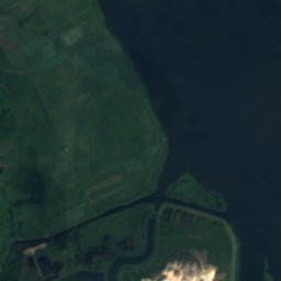
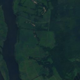
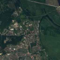
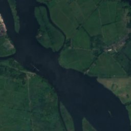
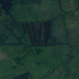
Satellite: Sentinel-2 cloudless 2016 by EOX IT Services GmbH · CC BY 4.0 · Contains modified Copernicus Sentinel data 2016
Policki NurtRiver4.8 kmSPolicki Nurt
Photo: Saszi5 at Polish Wikipedia · CC BY-SA 3.0 · Wikimedia CommonsReport this photo · linked, not stored
ŁarpiaRiver5.1 kmSŁarpia
Photo: I, Zwiadowca21 · CC BY-SA 3.0 · Wikimedia CommonsReport this photo · linked, not stored
GowienicaRiver5.7 kmNGowienica
Photo: © Mateusz War. / Wikimedia Commons · CC BY-SA 3.0 · Wikimedia CommonsReport this photo · linked, not stored
WietlinaRiver6.6 kmSWietlina
Stay nearby

Towns close by

Dębostrów
Photo: Mateusz War. · CC BY-SA 3.0 · Wikimedia CommonsReport this photo · linked, not stored

Dębostrów

West Pomerania · 4.6 km W
13°Oct high
13wet days
39score
Dębostrów
Święta
Photo: Hoa binh · CC BY-SA 4.0 · Wikimedia CommonsReport this photo · linked, not stored

Święta

West Pomerania · 5.6 km SE
13°Oct high
13wet days
39score
Święta
Niekłończyca
Photo: Mateusz War. · CC BY-SA 3.0 · Wikimedia CommonsReport this photo · linked, not stored

Niekłończyca

West Pomerania · 5.6 km W
13°Oct high
13wet days
39score
Niekłończyca
Police
Photo: Sławomir Milejski · CC BY 3.0 · Wikimedia CommonsReport this photo · linked, not stored

Police

West Pomerania · 5.6 km S
13°Oct high
13wet days
39score
Police
Around here

Dębostrów and around

Dębostrów
Photo: Mateusz War. · CC BY-SA 3.0 · Wikimedia CommonsReport this photo · linked, not stored

Dębostrów

West Pomerania · Poland
May–Jun · Sepbest months
23°July high
8 maltitude
Dębostrów

Nature

Ina
Photo: Radosław Drożdżewski (User:Zwiadowca21) · Public domain · Wikimedia CommonsReport this photo · linked, not stored
11 km SE

Ina

River
Ina
Gunica
Photo: Mateusz War. · CC BY-SA 3.0 · Wikimedia CommonsReport this photo · linked, not stored
3.6 km E

Gunica

River
Gunica
Gowienica
Photo: I, Zwiadowca21 · CC BY-SA 3.0 · Wikimedia CommonsReport this photo · linked, not stored
7.7 km NE

Gowienica

River
Gowienica

Mountains

Grzywacz
Photo: Adrian Tync · CC BY-SA 4.0 · Wikimedia CommonsReport this photo · linked, not stored
38 km N

Grzywacz

116 m
Grzywacz
Mokrzyckie Góry
Photo: Radosław Drożdżewski (Zwiadowca21) · CC BY 3.0 · Wikimedia CommonsReport this photo · linked, not stored
29 km N

Mokrzyckie Góry

67 m
Mokrzyckie Góry

Heritage

Monastery in Police
Photo: Kapitel · Public domain · Wikimedia CommonsReport this photo · linked, not stored
2.2 km SE

Monastery in Police

cultural property protection in Poland
Monastery in Police
Church of the Nativity of the Virgin Mary in Niekłończyca
Photo: Mateusz War. · CC BY-SA 3.0 · Wikimedia CommonsReport this photo · linked, not stored
1.6 km NW

Church of the Nativity of the Virgin Mary in Niekłończyca

immovable monument in Poland · 1788
Church of the Nativity of the Virgin Mary in Niekłończyca
Church of Saints Peter and Paul in Police
Photo: Kapitel · Public domain · Wikimedia CommonsReport this photo · linked, not stored
2.2 km SE

Church of Saints Peter and Paul in Police

cultural property protection in Poland
Church of Saints Peter and Paul in Police

Museums

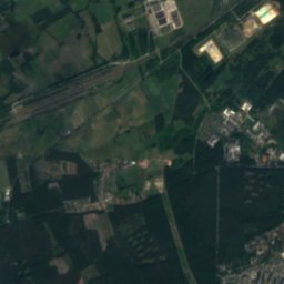
Satellite: Sentinel-2 cloudless 2016 by EOX IT Services GmbH · CC BY 4.0 · Contains modified Copernicus Sentinel data 2016
6.1 km S

History Museum "SKARB"

History museum · 2010
History Museum "SKARB"