

Photo: Pit1233 · CC0 · Wikimedia Commons
Wyspa św. Barbary w BydgoszczyReport this photo · linked, not stored
Wyspa św. Barbary w BydgoszczyWyspa św. Barbary w BydgoszczyReport this photo · linked, not stored

Photo: Pit1233 · CC0 · Wikimedia Commons
Mill Island in BydgoszczReport this photo · linked, not stored
Mill Island in BydgoszczMill Island in BydgoszczReport this photo · linked, not stored
 Gądecz

Photo: Mariusz Guć · CC BY-SA 4.0 · Wikimedia Commons
Borówno LakeReport this photo · linked, not stored
Borówno LakeBorówno LakeReport this photo · linked, not stored
RiverOstromecko, Kujawsko-Pomorskie
Brda
River30 m elevationBest May · Aug–Sep
Elevation30 mabove sea level
Length217 kmsource to mouth
Nearest townOstromecko4.8 km
53.13° N, 18.14° EElevation 30 mUTC+2 · Central European Summer Time
When to goOstromecko · weather score
Best timeMay · Aug–Sep
October: high / low13° / 5°
River
Brda in brief
Brda is a river in Ostromecko, Kujawsko-Pomorskie, Poland.
It lies at 30 m above sea level.
The nearest town in the atlas is Ostromecko, 4.8 km to the E, where the weather is best in May, August and September.
Brda is 217 km long.
Weather nearby now
Forecast for Ostromecko9°
Rain now
Today
22 Oct
12°
8°
13 mm
Fri
23 Oct
14°
4°
Sat
24 Oct
14°
6°
Sun
25 Oct
10°
4°
6 mm
Mon
26 Oct
12°
6°
2 mm
Model run 00:00 UTCRefreshed several times a day
The course of the river
As mapped in OpenStreetMap, with the towns of the atlas along its banks.- 1Pietrzykowo168 m
- 2Gwieździn151 m
- 3Przechlewo149 m
- 4Konarzyny149 m
- 5Konarzynki143 m
- 6Zielona Huta143 m
- 7Swornegacie119 m
- 8Rytel126 m
- 9Cierplewo86 m
- 10Koronowo65 m
- 11Gościeradz95 m
- 12Wtelno98 m
- 13Bożenkowo68 m
- 14Bydgoszcz37 m
sourcemouth (or where the mapped line leaves the country)
When to go
Climate of OstromeckoThe best months around Brda
Month score in Ostromecko
Comfort, dry days and sunshine · out of 10017
Jan
25
Feb
28
Mar
58
Apr
69
May
65
Jun
65
Jul
69
Aug
72
Sep
41
Oct
22
Nov
17
Dec
Map
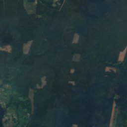
Brda from above
Nature nearbyAll of Poland
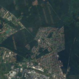
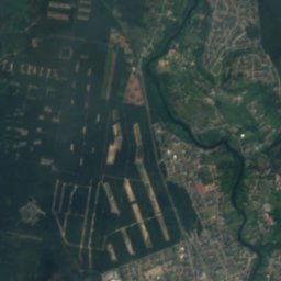
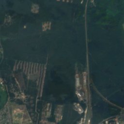
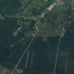
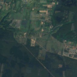
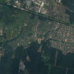
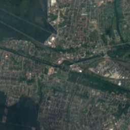
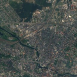
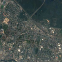
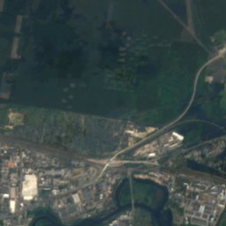
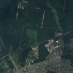
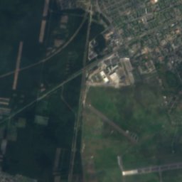
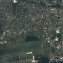
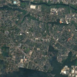
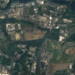
Satellite: Sentinel-2 cloudless 2016 by EOX IT Services GmbH · CC BY 4.0 · Contains modified Copernicus Sentinel data 2016


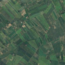
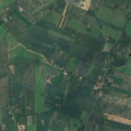
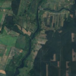
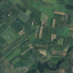
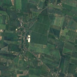
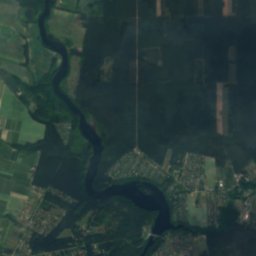
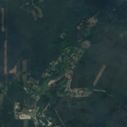
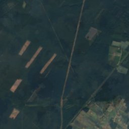
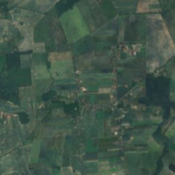
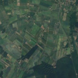
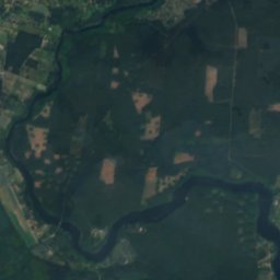
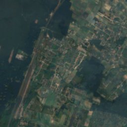
Satellite: Sentinel-2 cloudless 2016 by EOX IT Services GmbH · CC BY 4.0 · Contains modified Copernicus Sentinel data 2016
Stay nearby
Towns close by


Photo: Metallographirt von C. Brügner, Berlin · Public domain · Wikimedia CommonsReport this photo · linked, not stored
Bartodzieje Małe
Kujawsko-Pomorskie · 6.3 km W
13°Oct high
11wet days
42score

Photo: Przemysław JahrAutorem zdjęcia jest Przemysław JahrWykorzystując zdjęcie proszę · Public domain · Wikimedia CommonsReport this photo · linked, not stored
Czarnowo
Kujawsko-Pomorskie · 6.3 km SE
13°Oct high
11wet days
42score
Around here
Ostromecko and around
Nature

Heritage

Photo: Przemysław JahrAutorem zdjęcia jest Przemysław JahrWykorzystując zdjęcie proszę · Public domain · Wikimedia CommonsReport this photo · linked, not stored
Saint Nicholas church in Bydgoszcz-Fordon
immovable monument in Poland · 1700


Saint John the Evangelist church in Bydgoszcz
immovable monument in Poland
Museums


Museum of Polish Diplomacy and Refugees in Bydgoszcz
1999













Satellite: Sentinel-2 cloudless 2016 by EOX IT Services GmbH · CC BY 4.0 · Contains modified Copernicus Sentinel data 2016
Eksploseum
2011