
IslandOdiongan, Mimaropa
Tablas
Island665 m elevationBest Jan–Feb · Dec
Elevation665 mabove sea level
Area839 km²surface
Nearest townOdiongan4.1 km
12.40° N, 122.03° EElevation 665 mUTC+8 · Philippine Standard Time
When to goOdiongan · weather score
Best timeJan–Feb · Dec
October: high / low29° / 25°
Island
Tablas in brief
Tablas is an island in Odiongan, Mimaropa, Philippines.
It lies at 665 m above sea level and covers about 839 km².
The nearest town in the atlas is Odiongan, 4.1 km to the W, where the weather is best in January, February and December.
Weather nearby now
Forecast for Odiongan28°
Cloudy now
Today
22 Oct
30°
28°
Fri
23 Oct
29°
27°
Sat
24 Oct
29°
27°
Sun
25 Oct
29°
26°
Mon
26 Oct
30°
25°
5 mm
Model run 00:00 UTCRefreshed several times a day
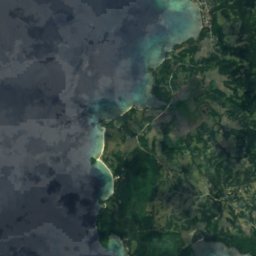
The island from above
839 km² · coastline as mapped in OpenStreetMapMap
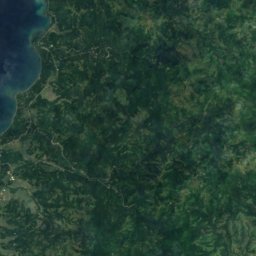
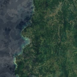
Tablas from above
Nature nearbyAll of the Philippines


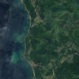
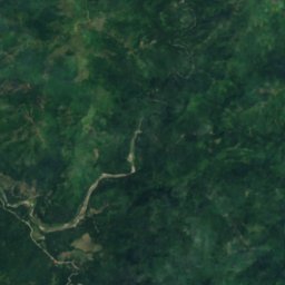



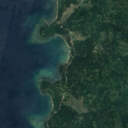
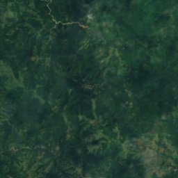



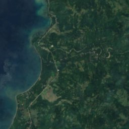
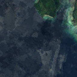
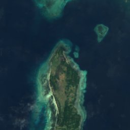
Satellite: Sentinel-2 cloudless 2016 by EOX IT Services GmbH · CC BY 4.0 · Contains modified Copernicus Sentinel data 2016



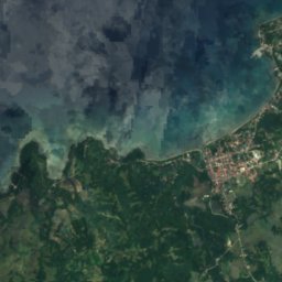


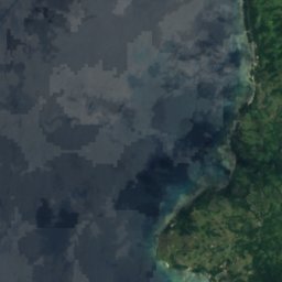
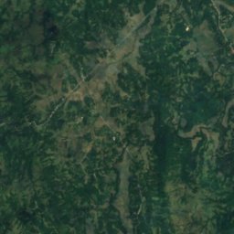



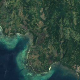
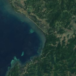
Satellite: Sentinel-2 cloudless 2016 by EOX IT Services GmbH · CC BY 4.0 · Contains modified Copernicus Sentinel data 2016



Stay nearby
Towns close by




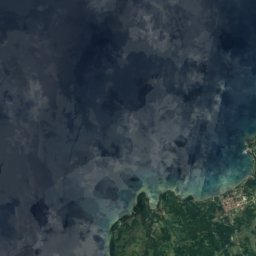



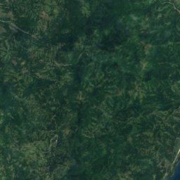



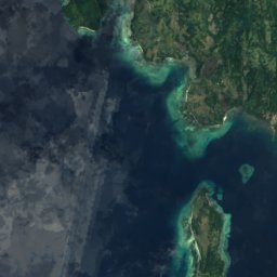
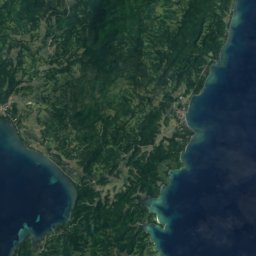
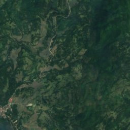
Satellite: Sentinel-2 cloudless 2016 by EOX IT Services GmbH · CC BY 4.0 · Contains modified Copernicus Sentinel data 2016
Ferrol
Mimaropa · 12 km SW
28°Oct high
31wet days
41score







Around here
Odiongan and around
Nature
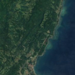
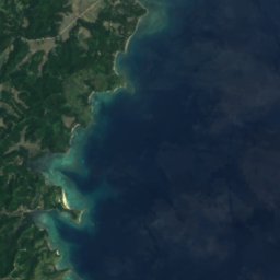
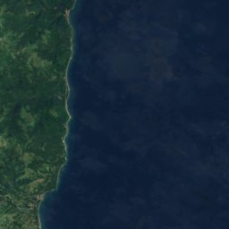
Satellite: Sentinel-2 cloudless 2016 by EOX IT Services GmbH · CC BY 4.0 · Contains modified Copernicus Sentinel data 2016
Panique Rock
Island · 4 m
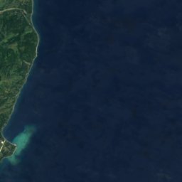
Satellite: Sentinel-2 cloudless 2016 by EOX IT Services GmbH · CC BY 4.0 · Contains modified Copernicus Sentinel data 2016
Wayside Rock
Island · 6 m