
Photo: © Vyacheslav Argenberg · CC BY 4.0 · Wikimedia Commons
Pasig RiverReport this photo · linked, not stored
Pasig RiverReport this photo · linked, not stored
 Taguig River

Photo: Ramon FVelasquez · CC BY-SA 3.0 · Wikimedia Commons
Marikina RiverReport this photo · linked, not stored
Marikina RiverMarikina RiverReport this photo · linked, not stored

Photo: Ramon FVelasquez · CC BY-SA 3.0 · Wikimedia Commons
Hinulugang TaktakReport this photo · linked, not stored
Hinulugang TaktakHinulugang TaktakReport this photo · linked, not stored

Photo: RFNirmala · CC0 · Wikimedia Commons
San Juan River, National Capital RegionReport this photo · linked, not stored
San Juan River, National Capital RegionSan Juan River, National Capital RegionReport this photo · linked, not stored
RiverTaguig, National Capital Region
Pasig River
RiverBest Jan–Feb · Dec
Elevation–above sea level
Length25 kmsource to mouth
Nearest townTaguig3.2 km
14.53° N, 121.11° EUTC+8 · Philippine Standard Time
When to goTaguig · weather score
Best timeJan–Feb · Dec
October: high / low29° / 25°
River
Pasig River in brief
Pasig River is a river in Taguig, National Capital Region, Philippines.
The nearest town in the atlas is Taguig, 3.2 km to the W, where the weather is best in January, February and December.
Pasig River is 25 km long.
Weather nearby now
Forecast for Taguig29°
Cloudy now
Today
22 Oct
32°
29°
3 mm
Fri
23 Oct
32°
28°
Sat
24 Oct
31°
27°
2 mm
Sun
25 Oct
32°
28°
Mon
26 Oct
32°
27°
4 mm
Model run 00:00 UTCRefreshed several times a day
The course of the river
As mapped in OpenStreetMap, with the towns of the atlas along its banks.- 1Singkamas10 m
- 2Namayan9 m
- 3Mandaluyong City24 m
- 4Mandaluyong30 m
- 5Bel Air39 m
- 6Pasig City63 m
- 7Makati City25 m
- 8Pateros4 m
- 9Taguig5 m
sourcemouth (or where the mapped line leaves the country)
Map
Pasig River from above
Nature nearbyAll of the Philippines
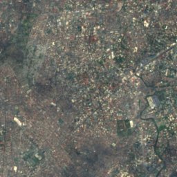
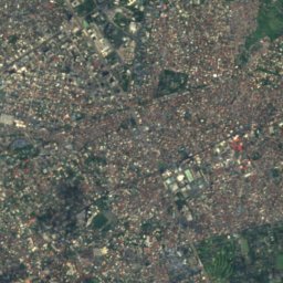
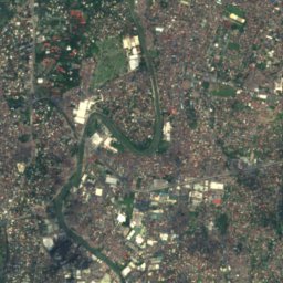
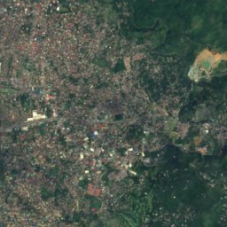
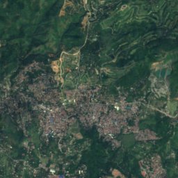
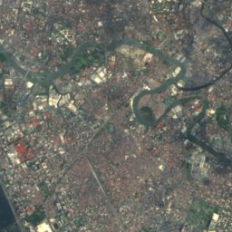
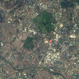
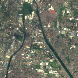
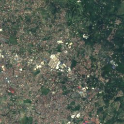
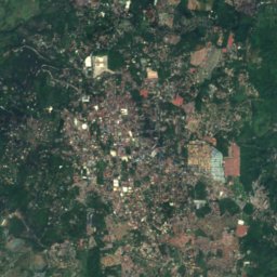
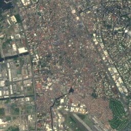
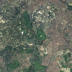
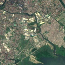
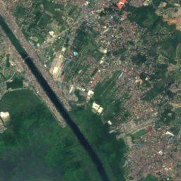
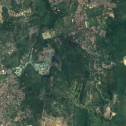
Satellite: Sentinel-2 cloudless 2016 by EOX IT Services GmbH · CC BY 4.0 · Contains modified Copernicus Sentinel data 2016


Stay nearby
Towns close by


Photo: jayagonoyxyz from Pasig, Philippines · CC BY 2.0 · Wikimedia CommonsReport this photo · linked, not stored
Pateros
National Capital Region · 4.2 km W
29°Oct high
30wet days
39score


Around here
Taguig and around
Nature

Mountains


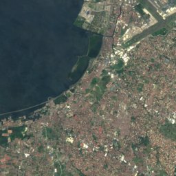
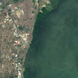

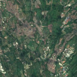
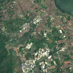
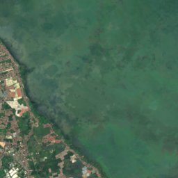
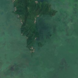
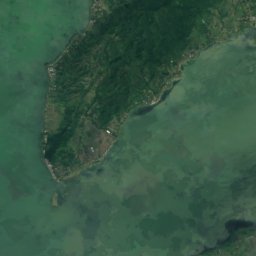
Satellite: Sentinel-2 cloudless 2016 by EOX IT Services GmbH · CC BY 4.0 · Contains modified Copernicus Sentinel data 2016
Mount Tagapo
438 m
Heritage


Felix Y. Manalo National Historical Landmark
National Historical Landmark · 2007

Photo: Patrick Roque (talk) (Uploads) · CC BY-SA 3.0 · Wikimedia CommonsReport this photo · linked, not stored
San Agustin Church
part of UNESCO World Heritage Site · 1571


