








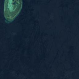









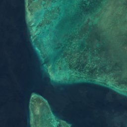







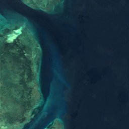
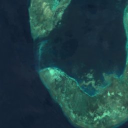






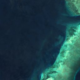
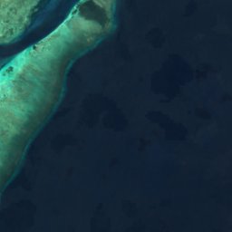






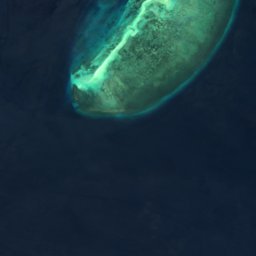


Satellite: Sentinel-2 cloudless 2016 by EOX IT Services GmbH · CC BY 4.0 · Contains modified Copernicus Sentinel data 2016
IslandSitangkai, Autonomous Region in Muslim Mindanao
James Patch
IslandBest Feb–Apr
Elevation–above sea level
Area–surface
Nearest townSitangkai28 km
4.50° N, 119.20° EUTC+8 · Philippine Standard Time
When to goSitangkai · weather score
Best timeFeb–Apr
October: high / low28° / 26°
Island
James Patch in brief
James Patch is an island in Sitangkai, Autonomous Region in Muslim Mindanao, Philippines.
The nearest town is Sitangkai, 28 km to the NE, where the weather is best in February, March and April.
Weather nearby now
Forecast for Sitangkai28°
Cloudy now
Today
25 Oct
30°
27°
9 mm
Mon
26 Oct
29°
29°
3 mm
Tue
27 Oct
29°
26°
10 mm
Wed
28 Oct
29°
27°
5 mm
Thu
29 Oct
30°
29°
1 mm
Model run 12:00 UTCRefreshed several times a day
Map
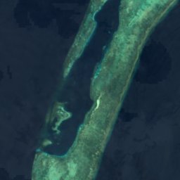
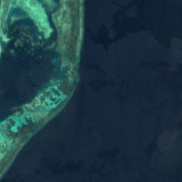
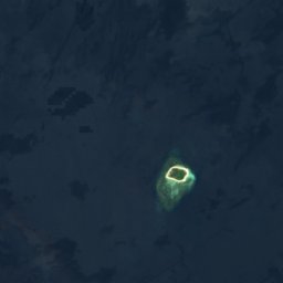
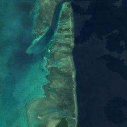
James Patch from above
Nature nearbyAll of the Philippines
Satellite: Sentinel-2 cloudless 2016 by EOX IT Services GmbH · CC BY 4.0 · Contains modified Copernicus Sentinel data 2016
Satellite: Sentinel-2 cloudless 2016 by EOX IT Services GmbH · CC BY 4.0 · Contains modified Copernicus Sentinel data 2016

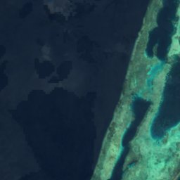

Satellite: Sentinel-2 cloudless 2016 by EOX IT Services GmbH · CC BY 4.0 · Contains modified Copernicus Sentinel data 2016
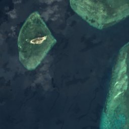
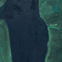

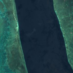
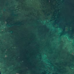
Satellite: Sentinel-2 cloudless 2016 by EOX IT Services GmbH · CC BY 4.0 · Contains modified Copernicus Sentinel data 2016
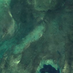
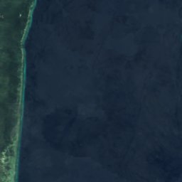
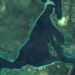

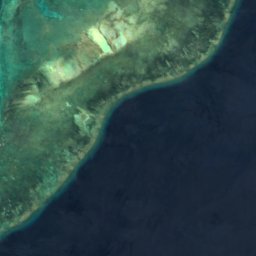

Satellite: Sentinel-2 cloudless 2016 by EOX IT Services GmbH · CC BY 4.0 · Contains modified Copernicus Sentinel data 2016
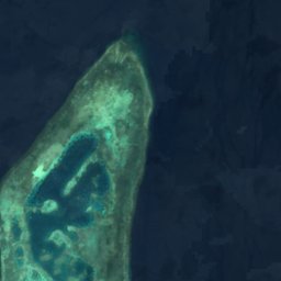
Satellite: Sentinel-2 cloudless 2016 by EOX IT Services GmbH · CC BY 4.0 · Contains modified Copernicus Sentinel data 2016
Around here
Sitangkai and around

Sitangkai
Autonomous Region in Muslim Mindanao · Philippines
Feb–Aprbest months
28°July high
1 maltitude
Nature
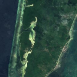

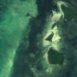
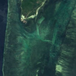

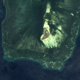

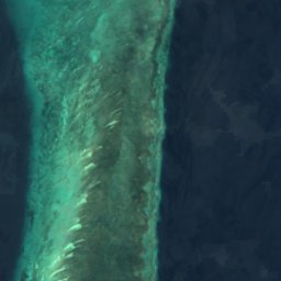
Satellite: Sentinel-2 cloudless 2016 by EOX IT Services GmbH · CC BY 4.0 · Contains modified Copernicus Sentinel data 2016
Saluag Island
Island
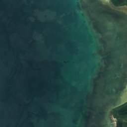
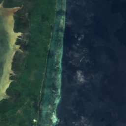
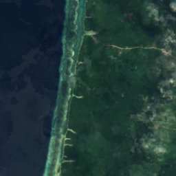
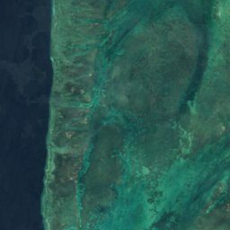
Satellite: Sentinel-2 cloudless 2016 by EOX IT Services GmbH · CC BY 4.0 · Contains modified Copernicus Sentinel data 2016
Sitangkai Island
Island · 1 m
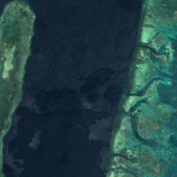




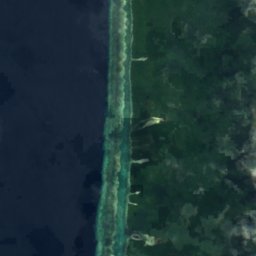

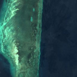
Satellite: Sentinel-2 cloudless 2016 by EOX IT Services GmbH · CC BY 4.0 · Contains modified Copernicus Sentinel data 2016
Tumindao Island
Island · 13 m