


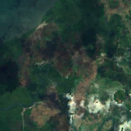
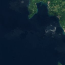

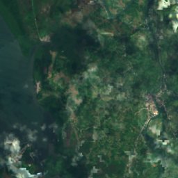

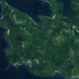



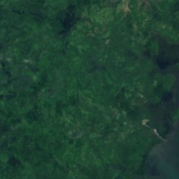
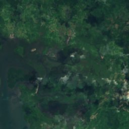
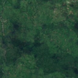
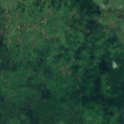
Satellite: Sentinel-2 cloudless 2016 by EOX IT Services GmbH · CC BY 4.0 · Contains modified Copernicus Sentinel data 2016
IslandVillareal, Eastern Visayas
Apdo Reef
IslandBest Jan–Mar
Elevation–above sea level
Area–surface
Nearest townVillareal4.0 km
11.60° N, 124.92° EUTC+8 · Philippine Standard Time
When to goVillareal · weather score
Best timeJan–Mar
October: high / low29° / 25°
Island
Apdo Reef in brief
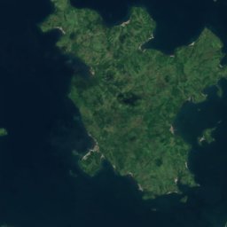
Apdo Reef is an island in Villareal, Eastern Visayas, Philippines.
The nearest town is Villareal, 4.0 km to the S, where the weather is best in January, February and March.
Weather nearby now
Forecast for Villareal24°
Cloudy now
Today
28 Oct
31°
24°
5 mm
Thu
29 Oct
31°
25°
5 mm
Fri
30 Oct
31°
24°
8 mm
Sat
31 Oct
30°
24°
8 mm
Sun
1 Nov
31°
23°
5 mm
Model run 00:00 UTCRefreshed several times a day
Map
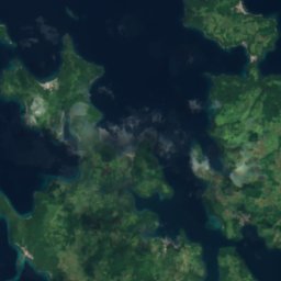
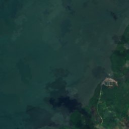
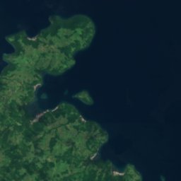
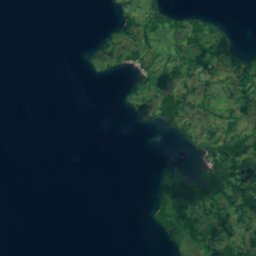
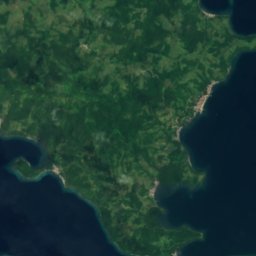
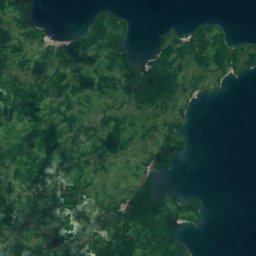
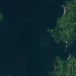
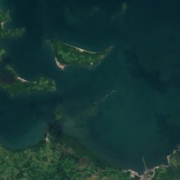
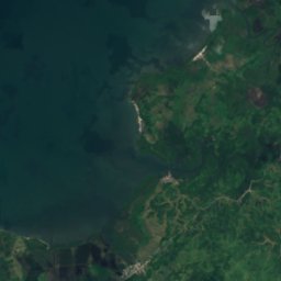
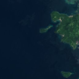
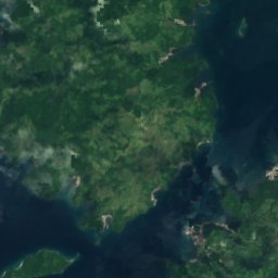
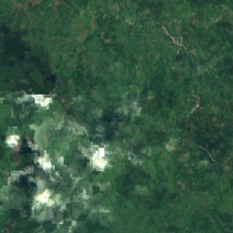
Apdo Reef from above
Nature nearbyAll of the Philippines
Satellite: Sentinel-2 cloudless 2016 by EOX IT Services GmbH · CC BY 4.0 · Contains modified Copernicus Sentinel data 2016
Satellite: Sentinel-2 cloudless 2016 by EOX IT Services GmbH · CC BY 4.0 · Contains modified Copernicus Sentinel data 2016
Satellite: Sentinel-2 cloudless 2016 by EOX IT Services GmbH · CC BY 4.0 · Contains modified Copernicus Sentinel data 2016
Satellite: Sentinel-2 cloudless 2016 by EOX IT Services GmbH · CC BY 4.0 · Contains modified Copernicus Sentinel data 2016
Satellite: Sentinel-2 cloudless 2016 by EOX IT Services GmbH · CC BY 4.0 · Contains modified Copernicus Sentinel data 2016
Satellite: Sentinel-2 cloudless 2016 by EOX IT Services GmbH · CC BY 4.0 · Contains modified Copernicus Sentinel data 2016
Stay nearby
Towns close by

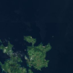
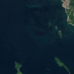
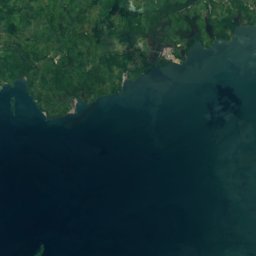
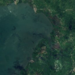
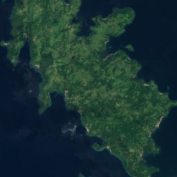
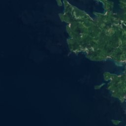
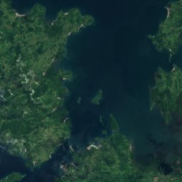
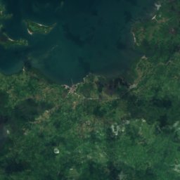
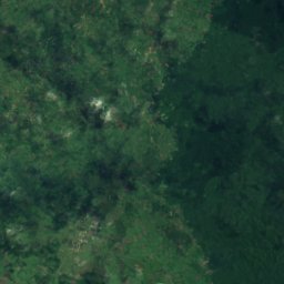
Satellite: Sentinel-2 cloudless 2016 by EOX IT Services GmbH · CC BY 4.0 · Contains modified Copernicus Sentinel data 2016
Pinabacdao
Eastern Visayas · 7.6 km E
29°Oct high
30wet days
38score

Around here
Villareal and around
Nature
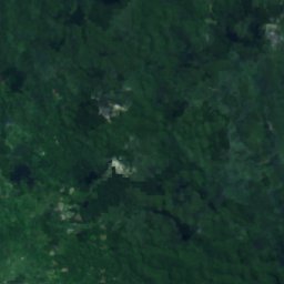
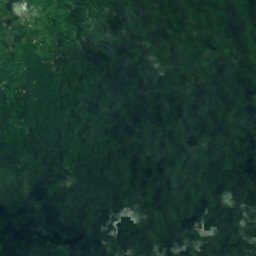
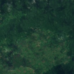


Satellite: Sentinel-2 cloudless 2016 by EOX IT Services GmbH · CC BY 4.0 · Contains modified Copernicus Sentinel data 2016
Langun-Gobingob Cave
Cave
Satellite: Sentinel-2 cloudless 2016 by EOX IT Services GmbH · CC BY 4.0 · Contains modified Copernicus Sentinel data 2016
Guintarcan Island
Island · 17 m
Satellite: Sentinel-2 cloudless 2016 by EOX IT Services GmbH · CC BY 4.0 · Contains modified Copernicus Sentinel data 2016
Lamingao Island
Island · 27 m