Skip to content
Destinations
Weather & climate
Nature
Outdoors
Culture
Events
Sky & live
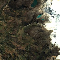
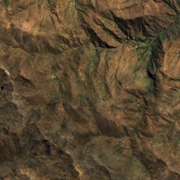
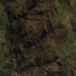
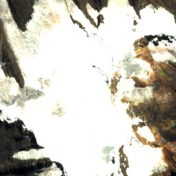
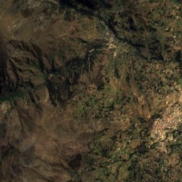
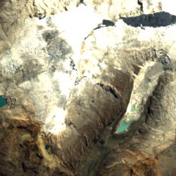
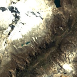
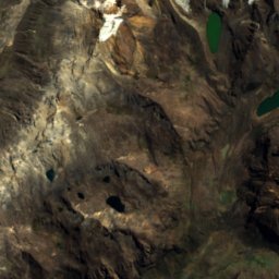
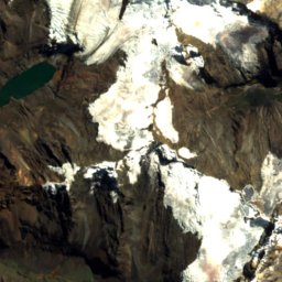
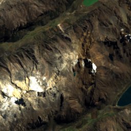
Satellite: Sentinel-2 cloudless 2016 by EOX IT Services GmbH · CC BY 4.0 · Contains modified Copernicus Sentinel data 2016
Huascarán National Park
Photo: Ondando · CC BY-SA 4.0 · Wikimedia Commons
Huascarán National ParkReport this photo · linked, not stored
Huascarán National Park
Huantsán
Photo: Bas Wallet · CC BY 2.0 · Wikimedia Commons
HuantsánReport this photo · linked, not stored
Huantsán
LakeHuari, Ancash

Tullpacocha

LakeBest Jul–Sep
Elevation–above sea level
Area–surface
Nearest townHuari21 km
9.42° S, 77.34° WUTC−5 · Peru Standard Time
When to goHuari · weather score
JanFebMarAprMayJunJulAugSepOctNovDec56October
Best timeJul–Sep
October: high / low16° / 6°
Lake

Tullpacocha in brief

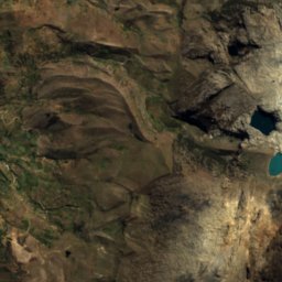
Tullpacocha is a lake in Huari, Ancash, Peru.

The nearest town in the atlas is Huari, 21 km to the NE, where the weather is best in July, August and September.

Huari: weather and travel guide

Weather nearby now

Forecast for Huari
14°
Rain now
Wind4 km/h
Humidity71%
Cloud cover98%
Today
22 Oct
18°
5°
16 mm
Fri
23 Oct
15°
7°
21 mm
Sat
24 Oct
16°
8°
16 mm
Sun
25 Oct
18°
8°
11 mm
Mon
26 Oct
18°
8°
7 mm

Model run 00:00 UTCRefreshed several times a day

When to go

The best months around Tullpacocha

Climate of Huari

Month score in Huari

Comfort, dry days and sunshine · out of 100
45
Jan
43
Feb
43
Mar
47
Apr
59
May
65
Jun
70
Jul
74
Aug
66
Sep
56
Oct
49
Nov
47
Dec
Map

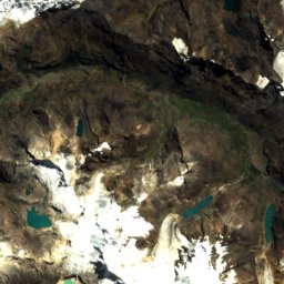
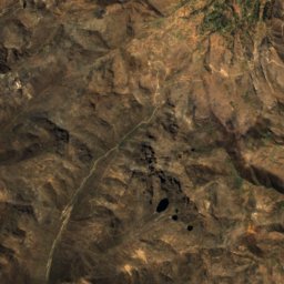
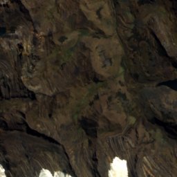
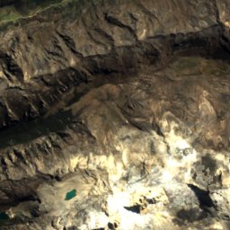
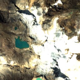
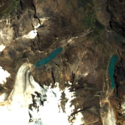
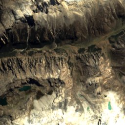
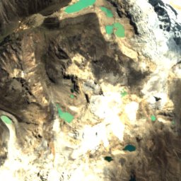
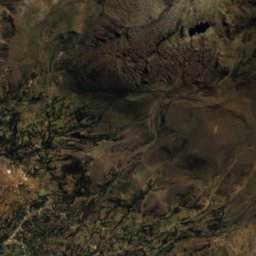
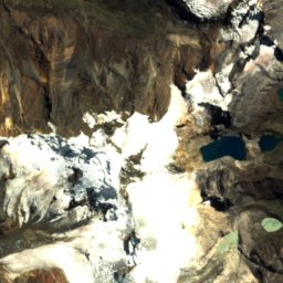
Tullpacocha from above

Nature nearbyAll of Peru
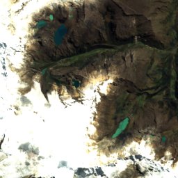
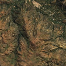
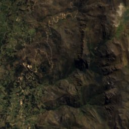
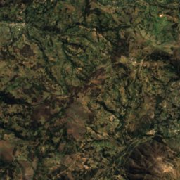
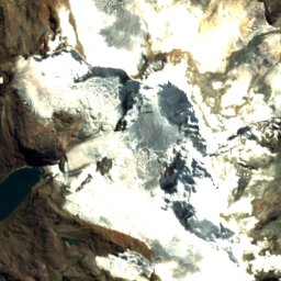
Satellite: Sentinel-2 cloudless 2016 by EOX IT Services GmbH · CC BY 4.0 · Contains modified Copernicus Sentinel data 2016
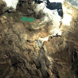
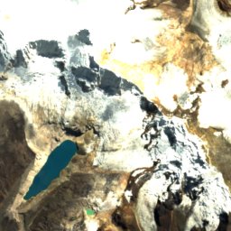
Palcacocha LakeLake4.8 kmNWPalcacocha Lake
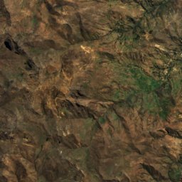
Satellite: Sentinel-2 cloudless 2016 by EOX IT Services GmbH · CC BY 4.0 · Contains modified Copernicus Sentinel data 2016
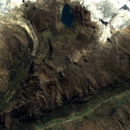
Lake PalcacochaGlacier4.8 kmNWLake Palcacocha
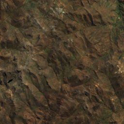
Satellite: Sentinel-2 cloudless 2016 by EOX IT Services GmbH · CC BY 4.0 · Contains modified Copernicus Sentinel data 2016
Palcaraju GlacierGlacier5.3 kmNWPalcaraju Glacier
Photo: Ondando · CC BY-SA 4.0 · Wikimedia CommonsReport this photo · linked, not stored
Huascarán National ParkNational park6.6 kmWHuascarán National Park
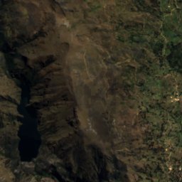
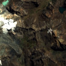
Satellite: Sentinel-2 cloudless 2016 by EOX IT Services GmbH · CC BY 4.0 · Contains modified Copernicus Sentinel data 2016
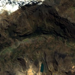
Chalhuacocha, AncashLake8.6 kmNEChalhuacocha, Ancash
Satellite: Sentinel-2 cloudless 2016 by EOX IT Services GmbH · CC BY 4.0 · Contains modified Copernicus Sentinel data 2016
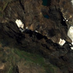
Lake MinoyoLake8.8 kmNLake Minoyo
Summits nearbyMountains of Peru
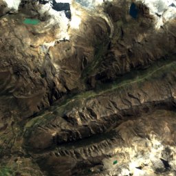
Photo: Bas Wallet · CC BY 2.0 · Wikimedia CommonsReport this photo · linked, not stored
Huantsán11 km S6,369 mJuly 6°Huantsán
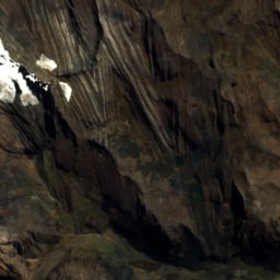
Satellite: Sentinel-2 cloudless 2016 by EOX IT Services GmbH · CC BY 4.0 · Contains modified Copernicus Sentinel data 2016
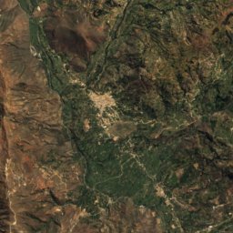
Chinchey4.5 km N6,309 mJuly 3°Chinchey
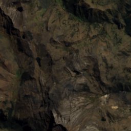
Satellite: Sentinel-2 cloudless 2016 by EOX IT Services GmbH · CC BY 4.0 · Contains modified Copernicus Sentinel data 2016
Palcaraju6.6 km NW6,274 mJuly 1°Palcaraju
Satellite: Sentinel-2 cloudless 2016 by EOX IT Services GmbH · CC BY 4.0 · Contains modified Copernicus Sentinel data 2016
Copa23 km NW6,222 mJuly 1°Copa
Satellite: Sentinel-2 cloudless 2016 by EOX IT Services GmbH · CC BY 4.0 · Contains modified Copernicus Sentinel data 2016
Ranrapalca8.2 km W6,162 mJuly 3°Ranrapalca
Satellite: Sentinel-2 cloudless 2016 by EOX IT Services GmbH · CC BY 4.0 · Contains modified Copernicus Sentinel data 2016
Pucaranra3.4 km N6,147 mJuly 3°Pucaranra
Stay nearby

Towns close by

Huari
Photo: GGBE~commonswiki · CC BY-SA 3.0 · Wikimedia CommonsReport this photo · linked, not stored

Huari

Ancash · 21 km NE
16°Oct high
11wet days
56score
Huari
Centenario
Photo: Rio.Negro · CC BY-SA 3.0 · Wikimedia CommonsReport this photo · linked, not stored

Centenario

Ancash · 23 km SW
16°Oct high
5wet days
72score
Centenario
Huaraz
Photo: Uwebart · CC BY-SA 3.0 · Wikimedia CommonsReport this photo · linked, not stored

Huaraz

Ancash · 23 km SW
16°Oct high
5wet days
72score
Huaraz
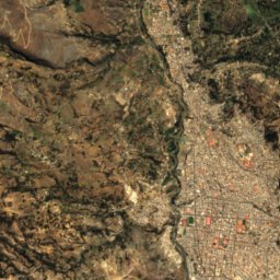
Satellite: Sentinel-2 cloudless 2016 by EOX IT Services GmbH · CC BY 4.0 · Contains modified Copernicus Sentinel data 2016

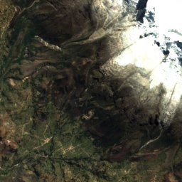
Anta

Ancash · 29 km W
18°Oct high
7wet days
76score
Anta
Around here

Huari and around

Huari
Photo: GGBE~commonswiki · CC BY-SA 3.0 · Wikimedia CommonsReport this photo · linked, not stored

Huari

Ancash · Peru
Jul–Sepbest months
15°July high
3,091 maltitude
Huari

Nature

Satellite: Sentinel-2 cloudless 2016 by EOX IT Services GmbH · CC BY 4.0 · Contains modified Copernicus Sentinel data 2016
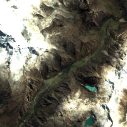
3.7 km W

Maria Jiray Falls

Waterfall
Maria Jiray Falls
Lake Purhuay
Photo: Waterloo1883 · CC BY-SA 4.0 · Wikimedia CommonsReport this photo · linked, not stored
5.9 km NW

Lake Purhuay

Lake · 3,480 m
Lake Purhuay
Reparin
Photo: Roxana Sepúlveda · CC BY-SA 4.0 · Wikimedia CommonsReport this photo · linked, not stored
5.7 km N

Reparin

Lake · 3,420 m
Reparin

Mountains

Huantsán
Photo: Bas Wallet · CC BY 2.0 · Wikimedia CommonsReport this photo · linked, not stored
24 km SW

Huantsán

6,369 m · Cordillera Blanca
Huantsán
Satellite: Sentinel-2 cloudless 2016 by EOX IT Services GmbH · CC BY 4.0 · Contains modified Copernicus Sentinel data 2016
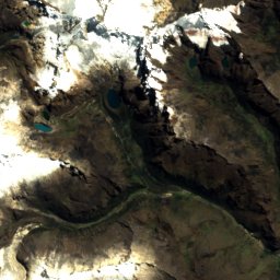
18 km W

Chinchey

6,309 m · Cordillera Blanca
Chinchey
Satellite: Sentinel-2 cloudless 2016 by EOX IT Services GmbH · CC BY 4.0 · Contains modified Copernicus Sentinel data 2016
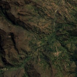
22 km W

Palcaraju

6,274 m · Cordillera Blanca
Palcaraju